
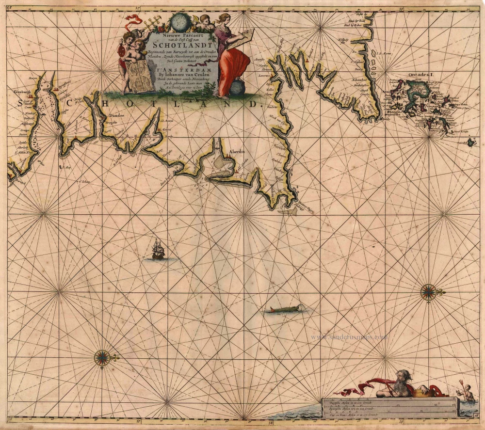
Antique map of Scotland (East) by Van Keulen Johannes 1697-1709
back
References: Koeman - Keu (48)
Nieuwe Pascaert van de Oost Cust van Schotlandt Beginnende van Barwyck tot aen de Orcades Ylanden ...
SOLD
Item Number: 2013 Authenticity Guarantee
Category: Antique maps > Europe > British Isles
Sea chart of the east coast of Scotland, oriented to the West.
Copper engraving
Size: 51 x 58cm (19.9 x 22.6 inches)
Verso: Blank
Condition: Old coloured, age-toned and spotted.
Condition Rating: B
References: Koeman, Keu (48).
From: De Nieuwe Groote Lichtende Zee-Fakkel, ... Amsterdam, J. van Keulen, 1697-1709.