
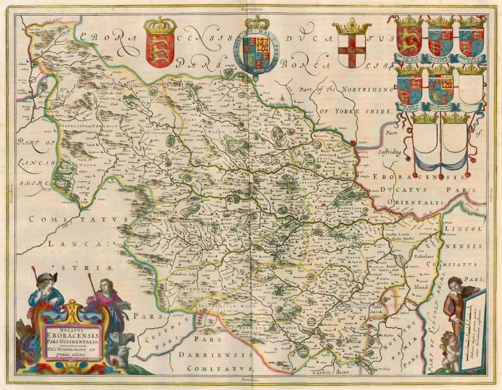
Yorkshire (West), by Blaeu J. 1662
The Blaeus: Willem Janszoon, Cornelis & Joan
Willem Jansz. Blaeu and his son Joan Blaeu are the seventeenth century's most widely known cartographic publishers.
Willem Jansz. (also written Guilielmus Janssonius) = Willem Janszoon Blaeu was born in Uitgeest (Netherlands), near Alkmaar, in 1571. He studied mathematics under Tycho Brahe and learned the theory and practice of astronomical observations and the art of instrument- and globe-making.
In 1596, he came to Amsterdam, where he settled down as a globe-, instrument- and mapmaker. He published his first cartographic work (a globe) in 1599 and probably published his first printed map (a map of the Netherlands) in 1604. He specialised in maritime cartography, published the first edition of the pilot guide Het Licht der Zeevaert in 1608, and was appointed Hydrographer of the V.O.C. (United East India Company) in 1633. After publishing books, wall maps, globes, charts and pilot guides for thirty years, he brought out his first atlas, Atlas Appendix (1630). This was the beginning of the great tradition of atlas-making by the Blaeus.
In 1618, another mapmaker, bookseller and publisher, Johannes Janssonius, established himself in Amsterdam next door to Blaeu's shop. No wonder these two neighbours began accusing each other of copying and stealing their information and became fierce competitors who did not have a good word to say about each other. In about 1621 Willem Jansz. decided to end the confusion between his name and his competitor's and assumed his grandfather's nickname, 'blauwe Willem' ('blue Willem'), as the family name; after that, he called himself Willem Jansz. Blaeu.
Willem Janszoon Blaeu died in 1638, leaving his prospering business to his sons, Cornelis and Joan. We only know that Cornelis's name occurs in the prefaces of books and atlases until c. 1645.
Joan Blaeu, born in Amsterdam in 1596, became a partner in his father's book trade and printing business. 1638, he was appointed his father's successor in the Hydrographic Office of the V.O.C. His efforts culminated in the magnificent Atlas Major and the town books of the Netherlands and Italy – works unsurpassed in history and modern times, giving eternal fame to the name of the Blaeu's.
A fire ruined the business on February 23, 1672, and one year later, Dr. Joan Blaeu died. The fire and the director's passing caused the complete sale of the Blaeu House's stock. Five public auctions dispersed the remaining books, atlases, copperplates, globes, etc., among many other map dealers and publishers in Amsterdam. The majority was acquired by several booksellers acting in partnership.
In the succeeding years, the remaining printing department remained in the hands of the Blaeu family until 1695, when the printing house's inventory was sold at a public auction. That meant the end of the Blaeu family as a printing house of world renown.
Ducatus Eboracensis Pars Occidentalis; the Westriding of Yorke Shire
Currently not available
Item Number: 12995 Authenticity Guarantee
Category: Antique maps > Europe > British Isles
Old, antique map of Yorkshire (West) by Blaeu J.
Title: Ducatus Eboracensis Pars Occidentalis; the Westriding of Yorke Shire.
With eight family coats of arms (including three blank shields).
Date of the first edition: 1645-46.
Date of this map: 1662.
Copper engraving, printed on paper.
Size (not including margins): 390 x 500mm (15.35 x 19.69 inches).
Verso: Latin text.
Condition: Original coloured, excellent.
Condition Rating: A+.
From: Atlas Maior, Sive Cosmographia Blaviana, Qua Solum, Salum, Coelum, Accuratissime Describuntur. Amsterdam, J. Blaeu, 1662-65. (Van der Krogt 2, 601-3)
The Blaeus: Willem Janszoon, Cornelis & Joan
Willem Jansz. Blaeu and his son Joan Blaeu are the seventeenth century's most widely known cartographic publishers.
Willem Jansz. (also written Guilielmus Janssonius) = Willem Janszoon Blaeu was born in Uitgeest (Netherlands), near Alkmaar, in 1571. He studied mathematics under Tycho Brahe and learned the theory and practice of astronomical observations and the art of instrument- and globe-making.
In 1596, he came to Amsterdam, where he settled down as a globe-, instrument- and mapmaker. He published his first cartographic work (a globe) in 1599 and probably published his first printed map (a map of the Netherlands) in 1604. He specialised in maritime cartography, published the first edition of the pilot guide Het Licht der Zeevaert in 1608, and was appointed Hydrographer of the V.O.C. (United East India Company) in 1633. After publishing books, wall maps, globes, charts and pilot guides for thirty years, he brought out his first atlas, Atlas Appendix (1630). This was the beginning of the great tradition of atlas-making by the Blaeus.
In 1618, another mapmaker, bookseller and publisher, Johannes Janssonius, established himself in Amsterdam next door to Blaeu's shop. No wonder these two neighbours began accusing each other of copying and stealing their information and became fierce competitors who did not have a good word to say about each other. In about 1621 Willem Jansz. decided to end the confusion between his name and his competitor's and assumed his grandfather's nickname, 'blauwe Willem' ('blue Willem'), as the family name; after that, he called himself Willem Jansz. Blaeu.
Willem Janszoon Blaeu died in 1638, leaving his prospering business to his sons, Cornelis and Joan. We only know that Cornelis's name occurs in the prefaces of books and atlases until c. 1645.
Joan Blaeu, born in Amsterdam in 1596, became a partner in his father's book trade and printing business. 1638, he was appointed his father's successor in the Hydrographic Office of the V.O.C. His efforts culminated in the magnificent Atlas Major and the town books of the Netherlands and Italy – works unsurpassed in history and modern times, giving eternal fame to the name of the Blaeu's.
A fire ruined the business on February 23, 1672, and one year later, Dr. Joan Blaeu died. The fire and the director's passing caused the complete sale of the Blaeu House's stock. Five public auctions dispersed the remaining books, atlases, copperplates, globes, etc., among many other map dealers and publishers in Amsterdam. The majority was acquired by several booksellers acting in partnership.
In the succeeding years, the remaining printing department remained in the hands of the Blaeu family until 1695, when the printing house's inventory was sold at a public auction. That meant the end of the Blaeu family as a printing house of world renown.
Related items
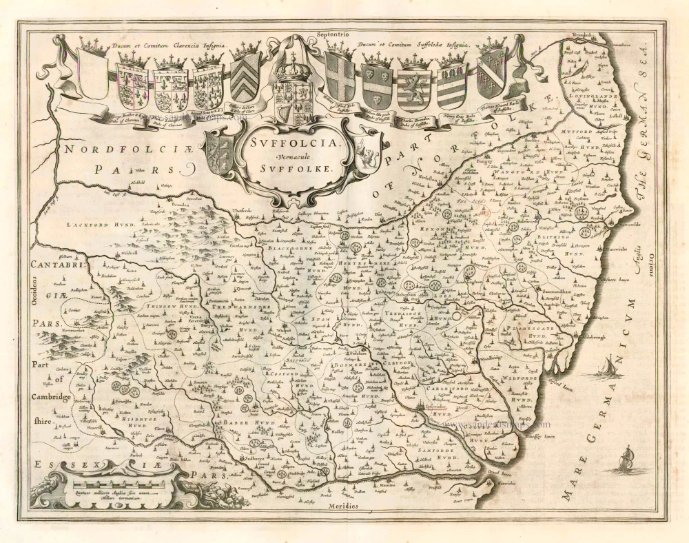
Suffolcia Vernacule Suffolke 1662
Suffolk, by Blaeu J.
[Item number: 1394]
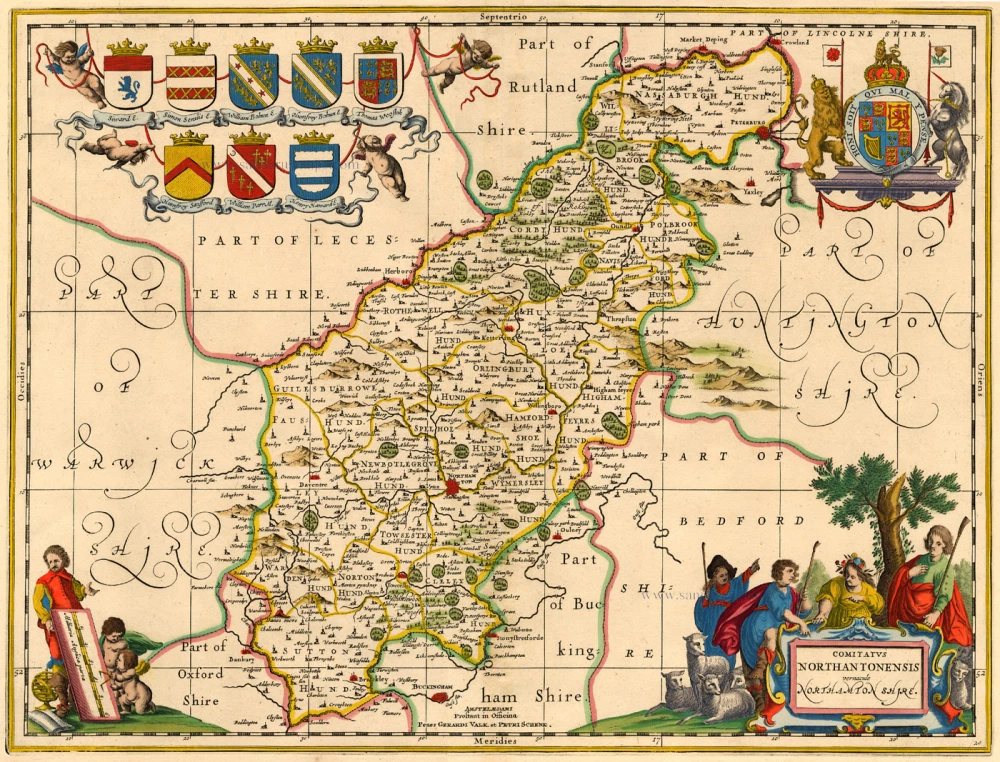
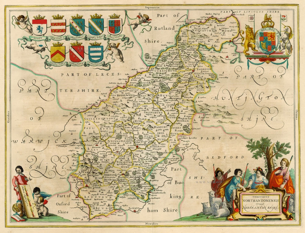
Comitatus Northantonensis ... c. 1700
Northampton, by Valk G. & Schenk P.
[Item number: 1868]
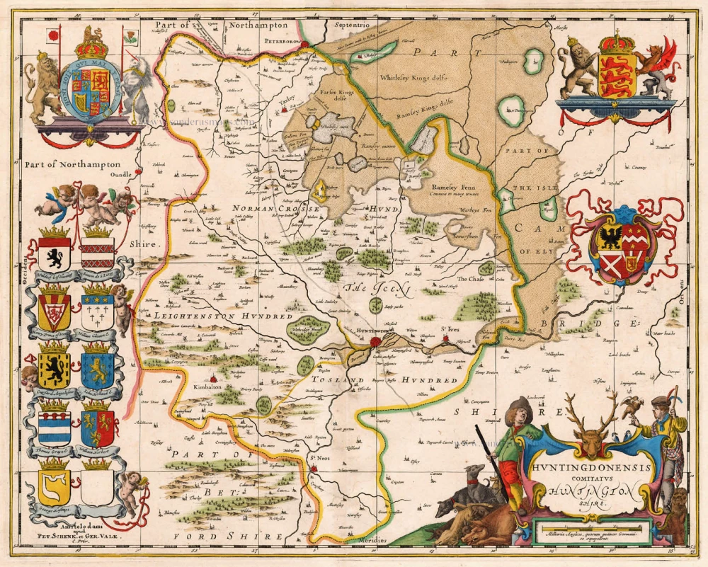
Huntingdonensis Comitatus c. 1700
Huntington, by Valk G. & Schenk P.
[Item number: 1874]

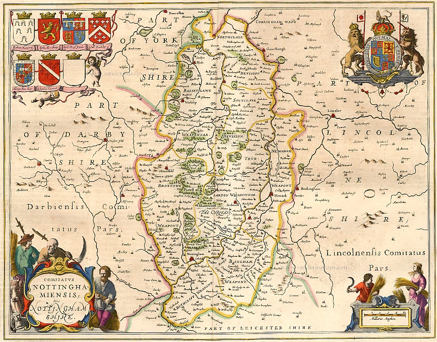
Comitatus Nottinghamiensis c. 1700
Nottinghamshire by Valk G. & Schenk P.
[Item number: 1925]
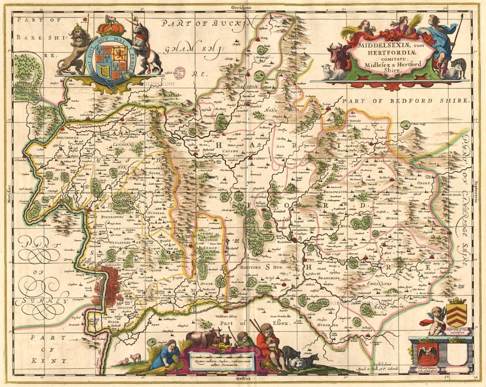
Middelsexiae cum Hertfordiae Comita c. 1700
Hertfordshire & Middlesex, by Valk G. & Schenk P.
[Item number: 1971]
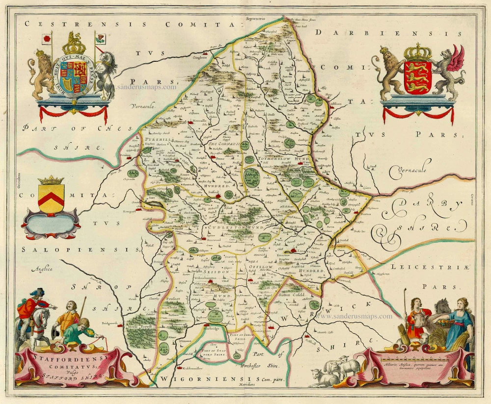
Staffordiensis Comitatus; vulgo Stafford Shire 1654-1662
Stafford, by J. Blaeu.
[Item number: 7085]
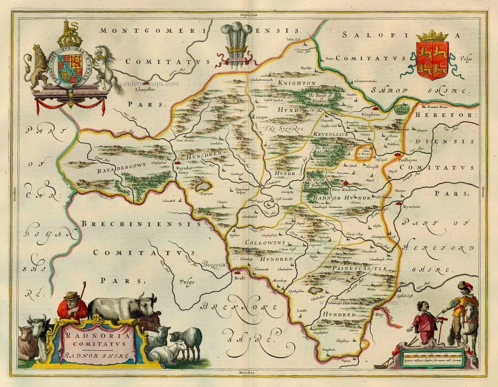
Radnoria Comitatus Radnor Shire 1654-1662
Radnor, by J. Blaeu.
[Item number: 7298]
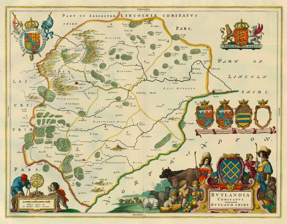
Rutlandia Comitatus. Rutland Shire. 1654-1662
Rutland, by J. Blaeu.
[Item number: 7506]
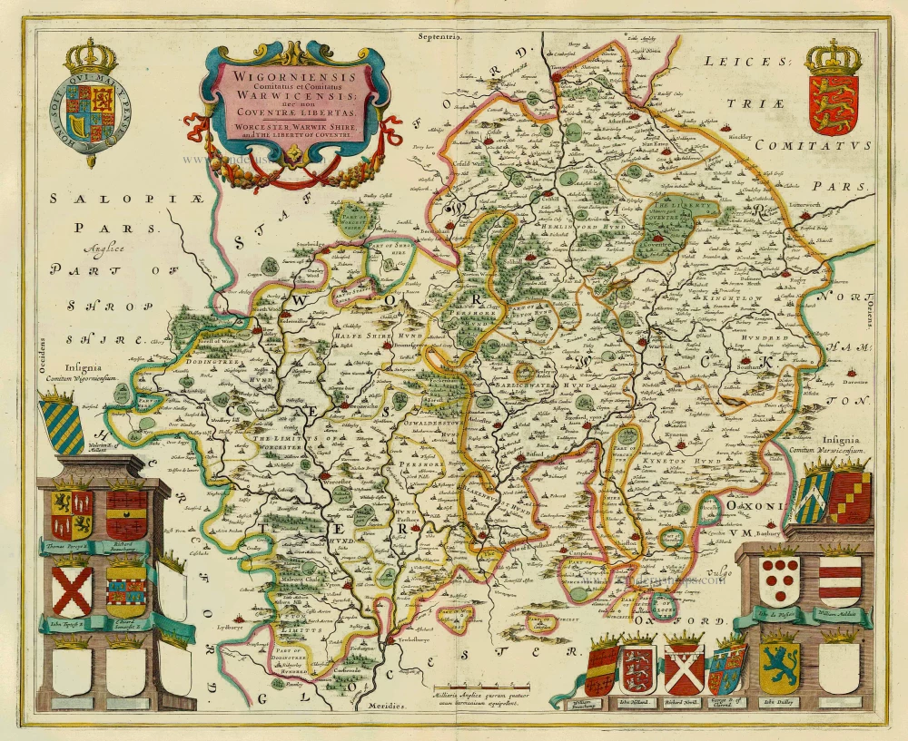
Wigorniensis Comitatus et Comitatus Warwicensis; nec non Coventrae Libertas. Worcester, Warwik Shire and the Liberty of Coventre 1654-1662
Worcester and Warwick, by J. Blaeu.
[Item number: 7526]
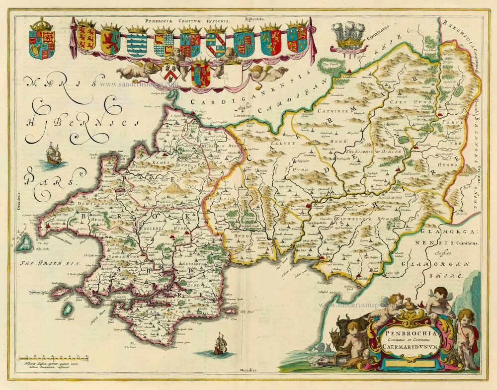
Penbrochia Comitatus et Comitatus Caermaridunum 1654-1662
Pembrokeshire and Caermarthen by Joan Blaeu.
[Item number: 8126]
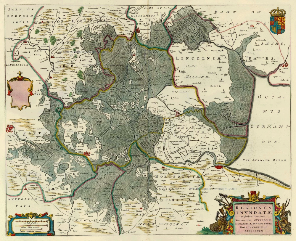
Regiones Inundatae in Finibus Comitatus Norfolciae, Suffolciae, Cantabrigiae, Huntingtoniae, Northamtoniae, et Lincolniae. 1654-1662
The Fenns by J. Blaeu.
[Item number: 8146]
Comitatus Northantonensis vernacule Northampton Shire 1647
Northampton by J. Janssonius
[Item number: 8167]
Comitatus Nottinghamiensis Sive Nottinghamshire 1658
Nottinghamshire, by J. Janssonius.
[Item number: 13948]
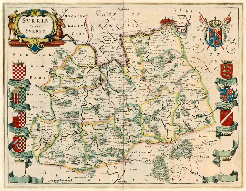
Surria vernacule Surrey 1662
Surrey by Joan Blaeu.
[Item number: 22812]
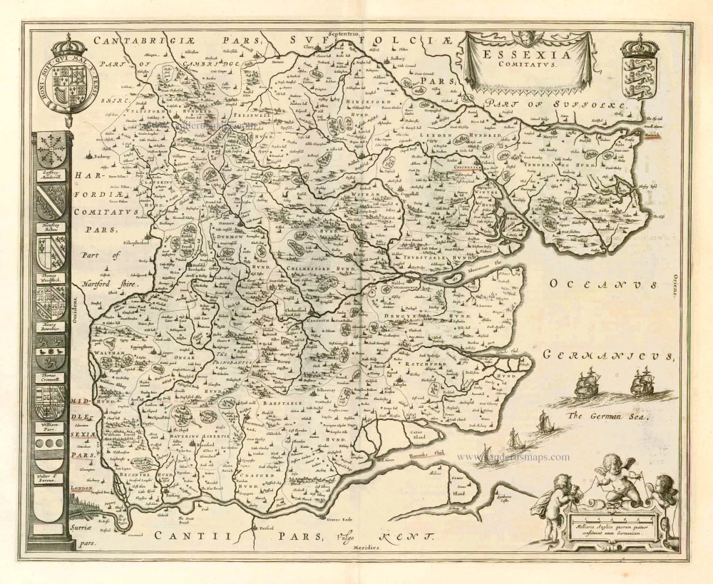
Essexia Comitatus. 1662
Essex, by J. Blaeu.
[Item number: 25247]
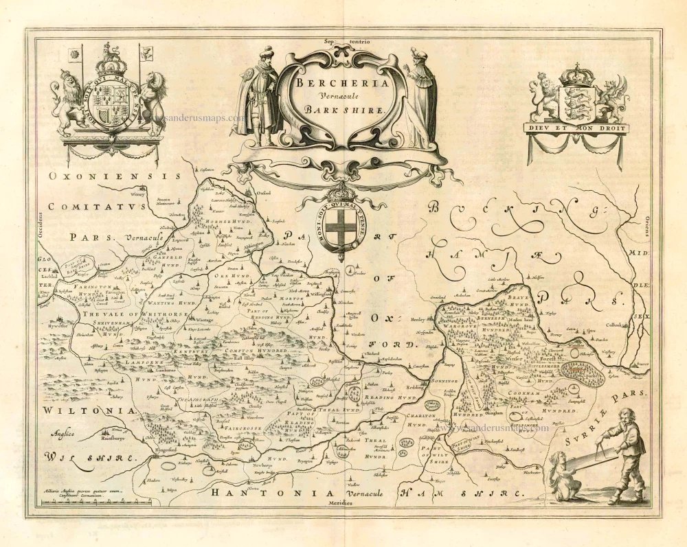
Bercheria vernacule Barkshire. 1662
Berkshire, by J. Blaeu.
[Item number: 25249]
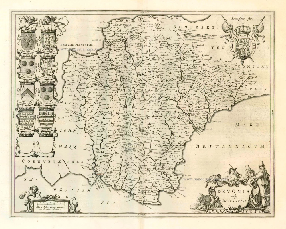
Devonia vulgo Devon-Shire. 1662
Devon, by J. Blaeu.
[Item number: 25250]
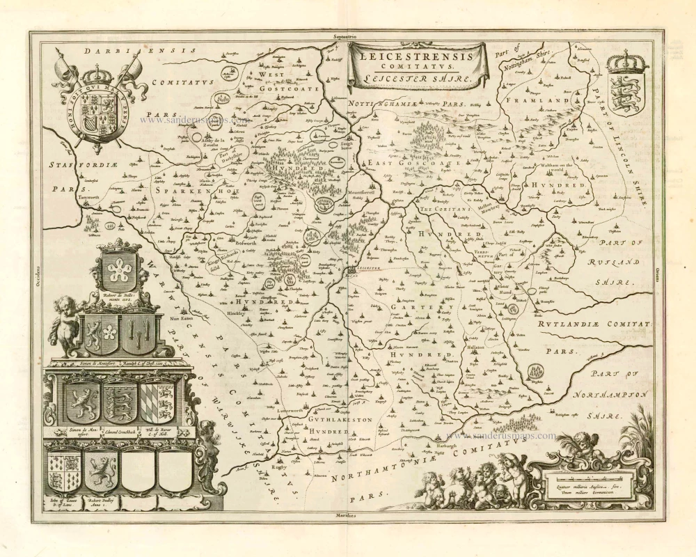
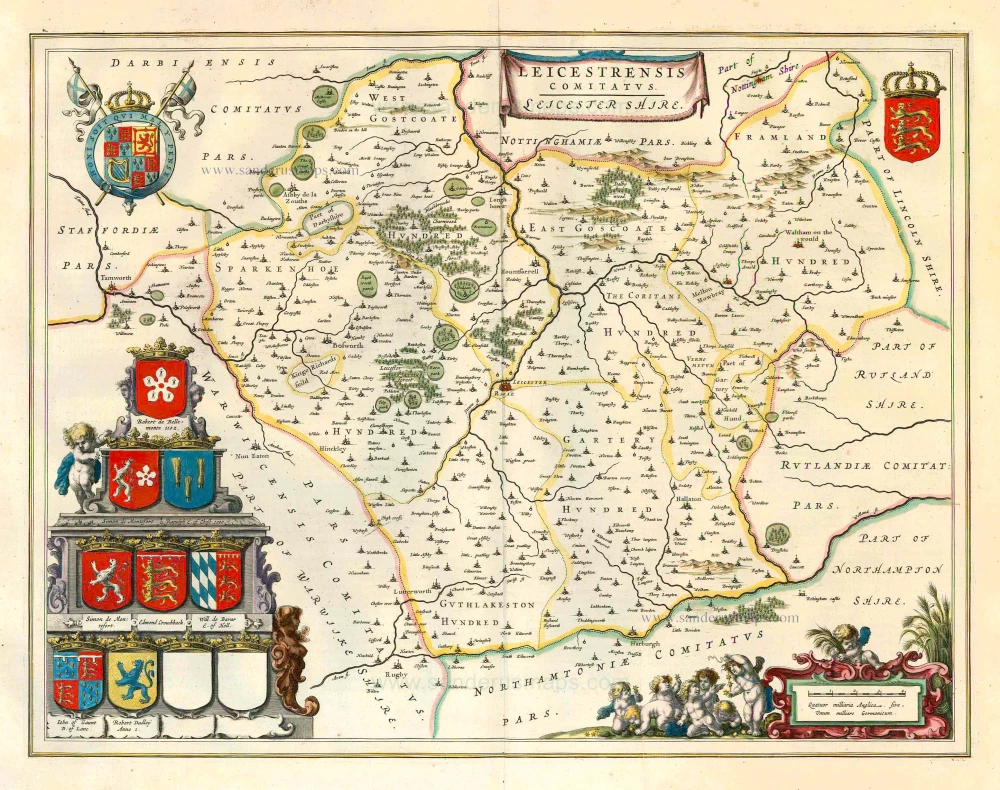
Leicestrensis Comitatus. Leicester Shire. 1662
Leicester, by J. Blaeu.
[Item number: 25251]
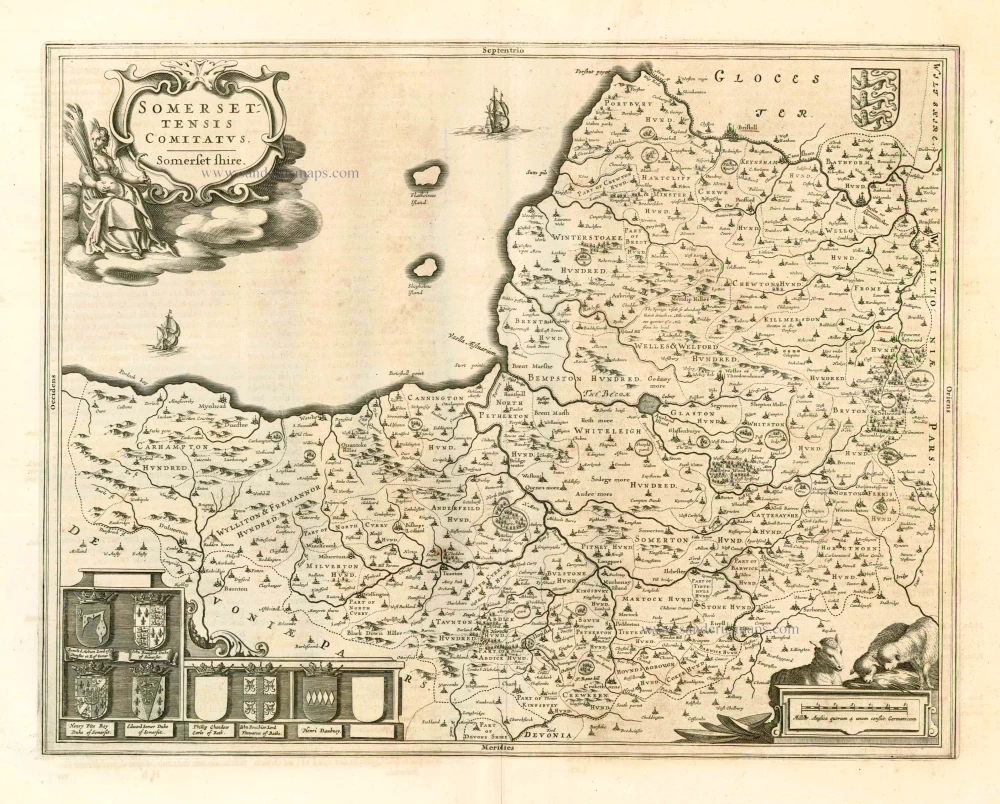
Somersettensis Comitatus - Somerset Shire. 1662
Somerset, by J. Blaeu.
[Item number: 25252]
Leicestrensis Comitatus. Leicester Shire. 1645
Leicester, by J. Blaeu.
[Item number: 25801]