Antique map of Hungary - Szolnok by Braun & Hogenberg 1618
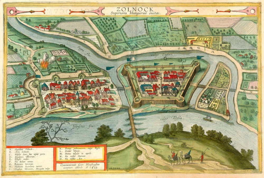
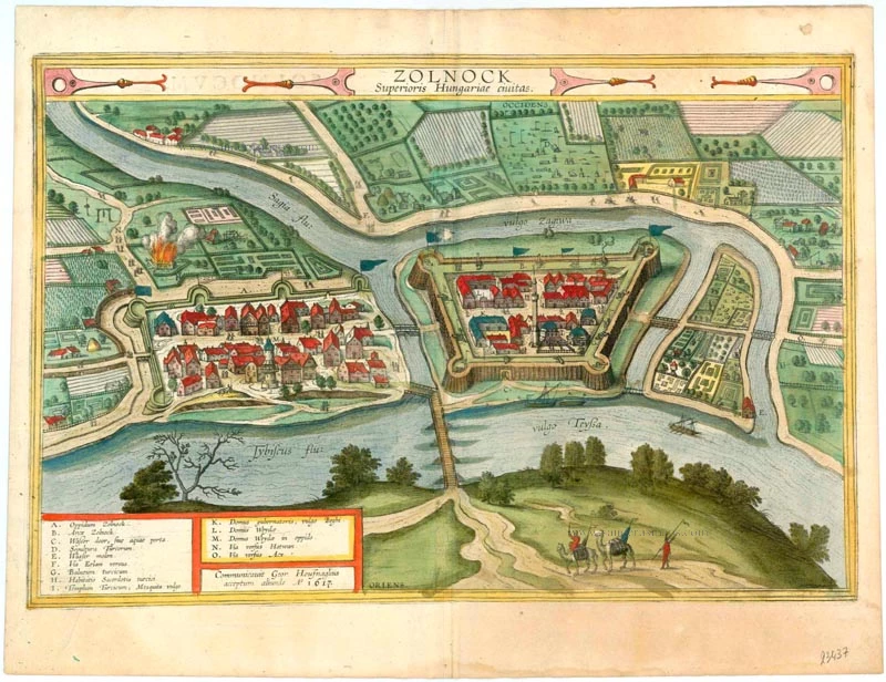
Zolnock Superioris Hungariae civitas.
Item Number: 23437 Authenticity Guarantee
Category: Antique maps > Europe > Central Europe
Bird's-eye view of Szolnok in Hungary by G. Hoefnagel, 1617. Key to 14 locations.
CARTOUCHE TOP: Szolnok, city in Upper Hungary.
CARTOUCHE BOTTOM: Procured by Georg Hoefnagel, received elsewhere, in the year 1617.
COMMENTARY BY BRAUN: "This is the most important fortress that the Turks have in Hungary, not only because of its strong walls and bastions, but also because of its beautiful and pleasant location. There is a castle and a town, separated by an arm of the River Zagyva. [...] Overall the town has such an ideal situation that a better one cannot be imagined. For this reason the Turks, who otherwise build poor houses, have erected splendid buildings both in the town and within the fortress."
Szolnok is shown from the southeast at the confluence of the Zagyva and the Tisza. On the right is the citadel with four corner bastions. The minaret of the Ottoman mosque is taller than all the other buildings, including those in the part of the town shown on the left, protected on two sides by a wall with bastions. There is no church or town hall to be seen. A burning building on the left above the town is obviously intended to underline the hostile occupation by the Turks. Mentioned for the first time in 1075, Szolnok was an important trading centre for salt and timber from Transylvania. The 11th-century castle was captured by the Ottomans in 1552 and was the seat of a Turkish military governor. Turkish rule came to an end here in 1685. (Taschen)
Copper engraving
Size: 34 x 51.5cm (13.3 x 20 inches)
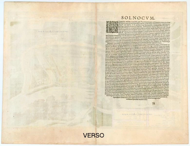
Verso text: Latin
Condition: Excellent, superb old colour.
Condition Rating: A+
References: Van der Krocht 4, 4238; Taschen, Braun and Hogenberg, p.477.
From: Theatri praecipuarum Totius Mundi Urbium Liber Sextus Anno MDCXVIII. (Van der Krogt 4, 41:1.6)


