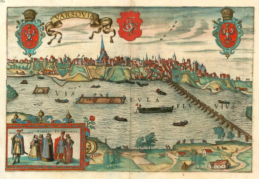
Antique map - Bird's-eye view of Warsaw (Warszawa) by Braun and Hogenberg. c. 1625
Varsovia
Item Number: 16687 Authenticity Guarantee
Category: Antique maps > Europe > Eastern Europe
Antique map - Bird's-eye view of Warsaw (Warszawa) by Braun and Hogenberg. Inset with costumed figures.
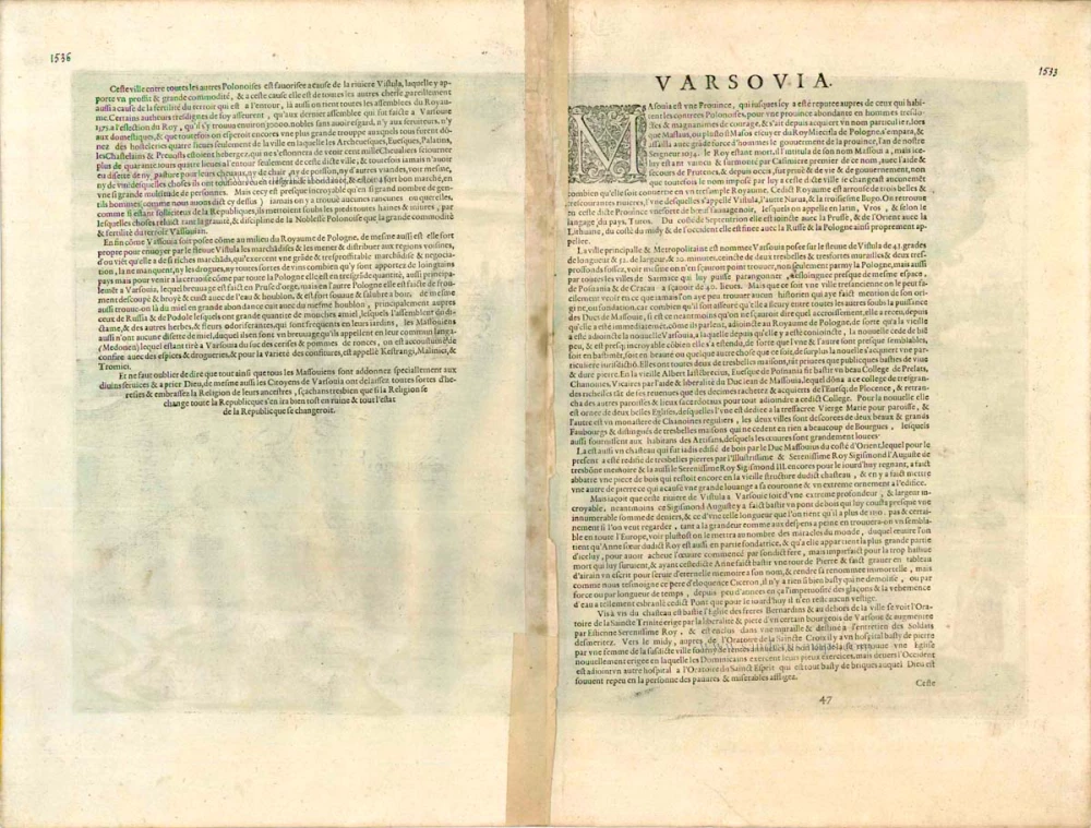
COMMENTARY BY BRAUN (on verso): "The most distinguished city in Warsaw, situated on the River Vistula [...]. It may be well be that at the time when it still belonged to the Dukes of Masovia this city enjoyed greater prosperity than other cities. Nevertheless, after passing to the Polish crown penniless, as one might say, it developed so fast that in a short time one city became two, the new one being built on to the old one, both of them having similar buildings yet different jurisdictions and municipal charters. In both cities the houses and other buildings are built of stone, which is rare in Poland."
The city is shown from the east bank of the Vistula, with a view of bustling river traffic. The narrow bridge over the river was contructed in 1573. Warsaw was founded at the beginning of the 14th century. After the creation of the Polish-Lithuanian Union it became the centre of the new state, and the residence of the Polish kings was moved from Cracow to Warsaw in the years 1598-1611. This plate obviously originates from an earlier period: there is nothing to indicate that the city is a royal residence; the 14th-century castle is shown and not the palace, and there is no mention of a royal residence in the commentary. In addition, the 14th-century church of St John (centre) is shown with the tower that collapsed is 1602. (Taschen)
Date of the first edition: 1617
Date of this map: c. 1625
Copper engraving
Size: 32 x 47cm (12.5 x 18.3 inches)
Verso text: French
Condition: Contemporary coloured, upper centrefold split reinforced.
Condition Rating: A
References: Van der Krogt 4, 4780; Taschen, Braun and Hogenberg, p.473.
From: Théatre des Principales Villes de tout l'Univers Vol. VI. c. 1625. (Van der Krogt 4, 41:3.6)


