
Lowicz by Georg Braun & Frans Hogenberg 1617-18


BANDEROLE: Lowicz is the seat of archbishop Gniezno in Masovia.
COMMENTARY BY BRAUN: "The city lies in a very advantageous position on the River Bzura, in a lovely setting. It has broad streets and many squares, a fine marketplace, gardens and imposing churches, a very ornate collegiate church, two parish and two monastery churches. In this area - and nowhere else - there is a kind of bird called sniegal because it comes with the snow and goes away with it, which is very tender and tasty to eat. The city is so full of artisans of all kinds that it is called the Polish Nuremberg."
This is a bird's-eye view from the south of Lowicz, which lies in the Masovian Plain on the River Bzura. On an island in the northwest is the 14th-century castle, the primary residence of the archbishops of Gniezno and the administrative centre. In a triangular area in the middle is the town hall, and below it, the church of the Holy Spirit, the Bernadine monastery with its late Gothic church, is at the southern edge of the city. On the right, the 15th-century Gothic collegiate church can be seen. Lowicz is first mentioned in 1136 in a Bull by Pope Innocent III. Thanks to many privileges, the city attained prosperity in the 16th century with its crafts industry. The famous Lowicz fairs attracted merchants from many countries; even the Polish kings attended regularly. (Taschen)
Braun G. & Hogenberg F. and the Civitates Orbis Terrarum.
The Civitates Orbis Terrarum, also known as the 'Braun & Hogenberg', is a six-volume town atlas and the most excellent book of town views and plans ever published: 363 engravings, sometimes beautifully coloured. It was one of the best-selling works in the last quarter of the 16th century. Georg Braun, a skilled writer, wrote the text accompanying the plans and views on the verso. Many plates were engraved after the original drawings of a professional artist, Joris Hoefnagel (1542-1600). The first volume was published in Latin in 1572 and the sixth in 1617. Frans Hogenberg, a talented engraver, created the tables for volumes I through IV, and Simon van den Neuwel made those for volumes V and VI. Other contributors were cartographers Daniel Freese and Heinrich Rantzau, who provided valuable geographical information. Works by Jacob van Deventer, Sebastian Münster, and Johannes Stumpf were also used as references. Translations appeared in German and French, making the atlas accessible to a broader audience.
Since its original publication of volume 1 in 1572, the Civitates Orbis Terrarum has left an indelible mark on the history of cartography. Seven more editions followed the first volume in 1575, 1577, 1582, 1588, 1593, 1599, and 1612. Vol.2, initially released in 1575, saw subsequent editions in 1597 and 1612. The subsequent volumes, each a treasure trove of historical insights, graced the world in 1581, 1588, 1593, 1599, and 1606. The German translation of the first volume, a testament to its widespread appeal, debuted in 1574, followed by the French edition in 1575.
Several printers were involved: Theodor Graminaeus, Heinrich von Aich, Gottfried von Kempen, Johannis Sinniger, Bertram Buchholtz, and Peter von Brachel, all of whom worked in Cologne.
Georg Braun (1541-1622)
Georg Braun, the author of the text accompanying the plans and views in the Civitates Orbis Terrarum, was born in Cologne in 1541. After his studies in Cologne, he entered the Jesuit Order as a novice, indicating his commitment to learning and intellectual pursuits. In 1561, he obtained his bachelor's degree; in 1562, he received his Magister Artium, further demonstrating his academic achievements. Although he left the Jesuit Order, he continued his studies in theology, gaining a licentiate in theology. His theological background likely influenced the content and tone of the text in the Civitates Orbis Terrarum, adding a unique perspective to the work.
Frans Hogenberg (1535-1590)
Frans Hogenberg was a Flemish and German painter, engraver, and mapmaker. He was born in Mechelen as the son of Nicolaas Hogenberg.
By the end of the 1560s, Frans Hogenberg was employed upon Abraham Ortelius's Theatrum Orbis Terrarum, published in 1570; he is named an engraver of numerous maps. In 1568, he was banned from Antwerp by the Duke of Alva and travelled to London, where he stayed a few years before emigrating to Cologne. He immediately embarked on his two most important works, the Civitates, published in 1572 and the Geschichtsblätter, which appeared in several series from 1569 until about 1587.
Thanks to large-scale projects like the Geschichtsblätter and the Civitates, Hogenberg's social circumstances improved with each passing year. He died as a wealthy man in Cologne in 1590.
Lovicensis Civitas quae est Archiepiscopa.
Item Number: 29282 Authenticity Guarantee
Category: Antique maps > Europe > Eastern Europe
Old antique birds-eye view plan of Poland - Lowicz, by Georg Braun & Frans Hogenberg.
Title: Lovicensis Civitas quae est Archiepiscopa.
Gnesnensis residentia in masovia.
Date of the first edition: 1617.
Date of this map: 1617-18.
Copper engraving, printed on paper.
Map size: 325 x 490mm (12.8 x 19.29 inches).
Sheet size: 395 x 535mm (15.55 x 21.06 inches).
Verso: Latin text.
Condition: Original coloured, excellent.
Condition Rating: A+.
From: Civitates Orbis Terrarum. Theatri praecipuarum Totius Mundi Urbium Liber Sextus Anno MDCXVIII. Cologne, Anton Heirat, 1617-18. (Van der Krogt 4, 41:1.6)
BANDEROLE: Lowicz is the seat of archbishop Gniezno in Masovia.
COMMENTARY BY BRAUN: "The city lies in a very advantageous position on the River Bzura, in a lovely setting. It has broad streets and many squares, a fine marketplace, gardens and imposing churches, a very ornate collegiate church, two parish and two monastery churches. In this area - and nowhere else - there is a kind of bird called sniegal because it comes with the snow and goes away with it, which is very tender and tasty to eat. The city is so full of artisans of all kinds that it is called the Polish Nuremberg."
This is a bird's-eye view from the south of Lowicz, which lies in the Masovian Plain on the River Bzura. On an island in the northwest is the 14th-century castle, the primary residence of the archbishops of Gniezno and the administrative centre. In a triangular area in the middle is the town hall, and below it, the church of the Holy Spirit, the Bernadine monastery with its late Gothic church, is at the southern edge of the city. On the right, the 15th-century Gothic collegiate church can be seen. Lowicz is first mentioned in 1136 in a Bull by Pope Innocent III. Thanks to many privileges, the city attained prosperity in the 16th century with its crafts industry. The famous Lowicz fairs attracted merchants from many countries; even the Polish kings attended regularly. (Taschen)
Braun G. & Hogenberg F. and the Civitates Orbis Terrarum.
The Civitates Orbis Terrarum, also known as the 'Braun & Hogenberg', is a six-volume town atlas and the most excellent book of town views and plans ever published: 363 engravings, sometimes beautifully coloured. It was one of the best-selling works in the last quarter of the 16th century. Georg Braun, a skilled writer, wrote the text accompanying the plans and views on the verso. Many plates were engraved after the original drawings of a professional artist, Joris Hoefnagel (1542-1600). The first volume was published in Latin in 1572 and the sixth in 1617. Frans Hogenberg, a talented engraver, created the tables for volumes I through IV, and Simon van den Neuwel made those for volumes V and VI. Other contributors were cartographers Daniel Freese and Heinrich Rantzau, who provided valuable geographical information. Works by Jacob van Deventer, Sebastian Münster, and Johannes Stumpf were also used as references. Translations appeared in German and French, making the atlas accessible to a broader audience.
Since its original publication of volume 1 in 1572, the Civitates Orbis Terrarum has left an indelible mark on the history of cartography. Seven more editions followed the first volume in 1575, 1577, 1582, 1588, 1593, 1599, and 1612. Vol.2, initially released in 1575, saw subsequent editions in 1597 and 1612. The subsequent volumes, each a treasure trove of historical insights, graced the world in 1581, 1588, 1593, 1599, and 1606. The German translation of the first volume, a testament to its widespread appeal, debuted in 1574, followed by the French edition in 1575.
Several printers were involved: Theodor Graminaeus, Heinrich von Aich, Gottfried von Kempen, Johannis Sinniger, Bertram Buchholtz, and Peter von Brachel, all of whom worked in Cologne.
Georg Braun (1541-1622)
Georg Braun, the author of the text accompanying the plans and views in the Civitates Orbis Terrarum, was born in Cologne in 1541. After his studies in Cologne, he entered the Jesuit Order as a novice, indicating his commitment to learning and intellectual pursuits. In 1561, he obtained his bachelor's degree; in 1562, he received his Magister Artium, further demonstrating his academic achievements. Although he left the Jesuit Order, he continued his studies in theology, gaining a licentiate in theology. His theological background likely influenced the content and tone of the text in the Civitates Orbis Terrarum, adding a unique perspective to the work.
Frans Hogenberg (1535-1590)
Frans Hogenberg was a Flemish and German painter, engraver, and mapmaker. He was born in Mechelen as the son of Nicolaas Hogenberg.
By the end of the 1560s, Frans Hogenberg was employed upon Abraham Ortelius's Theatrum Orbis Terrarum, published in 1570; he is named an engraver of numerous maps. In 1568, he was banned from Antwerp by the Duke of Alva and travelled to London, where he stayed a few years before emigrating to Cologne. He immediately embarked on his two most important works, the Civitates, published in 1572 and the Geschichtsblätter, which appeared in several series from 1569 until about 1587.
Thanks to large-scale projects like the Geschichtsblätter and the Civitates, Hogenberg's social circumstances improved with each passing year. He died as a wealthy man in Cologne in 1590.
Related items

Die Stat Swybuschin in Nider Schlesien. 1596
Poland - Swiebodzin, by Braun & Hogenberg.
[Item number: 22102]

Nissa Silesior Sedes Episcopalis [on sheet with] Liginicium c. 1625
Nysa and Legnica (Poland), by Georg Braun and Frans Hogenberg.
[Item number: 24584]
Scarce
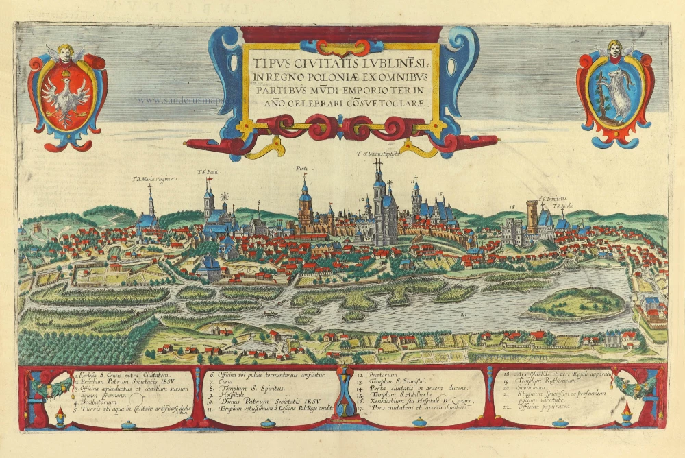
Tipus Civitatis Lublinesi in Regno Poloniae ex omnibus partibus mùdi Emporioa Ter in Año Celebrari Cõsvetoclarae. 1618
Lublin (Poland), by Georg Braun and Frans Hogenberg.
[Item number: 31783]