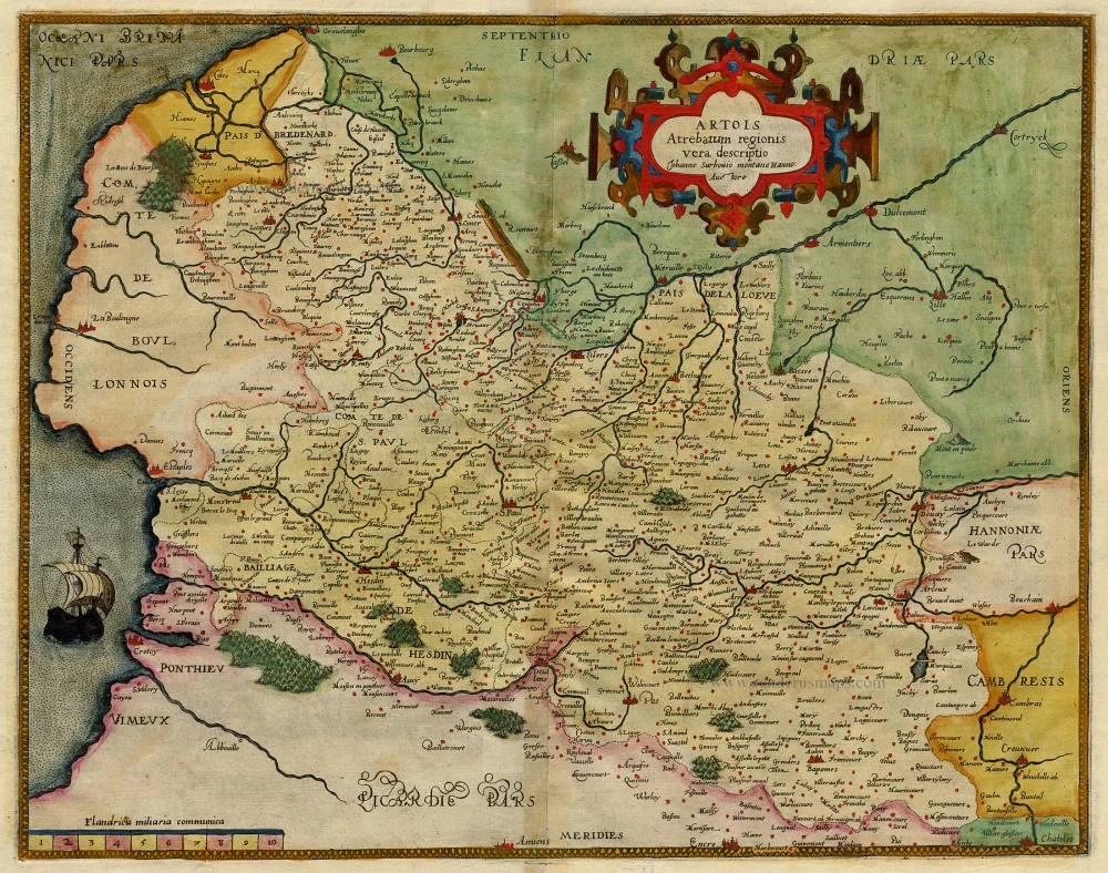
Antique map of Artois by de Jode 1593
Artois Atrevatum regionis vera descriptio.
Item Number: 17168 Authenticity Guarantee
Category: Antique maps > Europe > France
Copper engraving
Size: 37 x 47cm (14.4 x 18.3 inches)
Verso text: Latin
Condition: Old coloured.
References: Van der Krogt 3, 3300:32.
From: Speculum Orbis Terrae. Antwerpen, G. De Jode, 1593. (Van der Krogt 3, 2:02)
"In 1578 Gerard de Jode published his Speculum Orbis Terrarum, an atlas aimed at competing with the Theatrum of Ortelius. However, the latter had first been issued in 1570 and had already built a commanding market presence, and so despite de Jode's longer standing reputation the atlas did not sell very well. Only a dozen or so examples have survived. Undeterred, he made plans for another expanded edition, and upon his death in 1591 it was taken on by his son Cornelis. The Speculum Orbis Terrae of 1593 likewise did not sell well and was never reissued. Although more examples than the first edition have survived, it too is very scarce. Many of de Jode's maps are judged to be superior to those of Ortelius, both in detail and style." (Burden)

