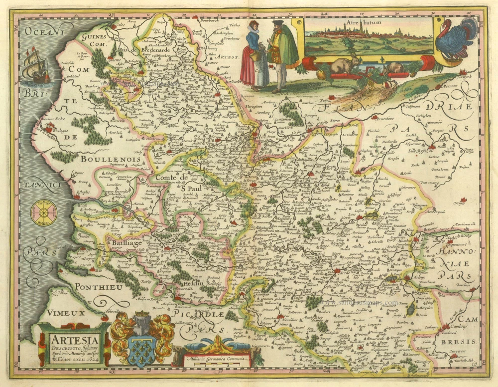
Antique map of Artois by Kaerius P. - Visscher C.J 1630
Artesia Descriptio.
Item Number: 6910 Authenticity Guarantee
Category: Antique maps > Europe > France
Copper engraving
Size: 36 x 48cm (14 x 18 inches)
Verso: Blank
Condition: Old coloured, excellent
References: Van der Krogt 1, 3320:364.2.
From: Atlantis Maioris Appendix, sive Pars Altera, ... Amsterdam, J. Janssonius, 1630. (Van der Krogt 1, 1:202)
This beautiful map, engraved by Petrus Kaerius (= Pieter Van den Keere), was first published in Kaerius' atlas Germaniae Inferior in 1617 and 1622. Later the plates were sold to Claes Jansz. Visscher, who substituted his name for that of Kaerius's. Two of these maps, the Artesia and the Hannonia were published in 1630 in Janssonius' Appendix.

