
Antique map of Normandie - Bretagne by Waghenaer L.J. 1600
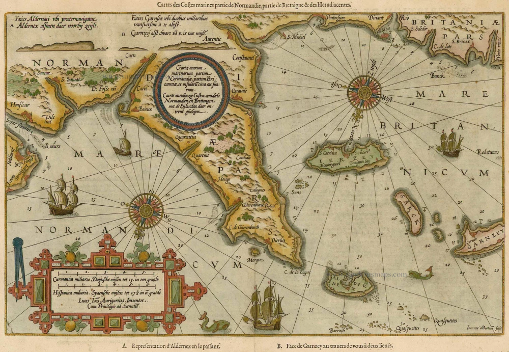


Caerte vanden zee Custen, eennsdeels Normandien en Brittangen, met de Eijlanden daer ontrent ghelegen.
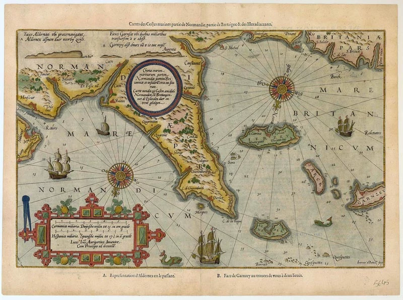
Item Number: 5645 Authenticity Guarantee
Category: Antique maps > Europe > France
Copper engraving, engraved by B. & J. van Doetecum.
Size: 32 x 52cm (13 x 20 inches)
Verso text: French
Condition: Old coloured.
From: Le nouveau mirroir des voyages et navigations. Antwerp, Jean Bellère, 1600. (Koeman, Wag11A).
"Thanks to the unparalleled skill of the engravers, Baptist and Johannes van Deutecom, the original ms. charts by Waghenaer were transformed into the most beautiful maps of the period. The composition and the adornment have greatly contributed to the splendour of what originally were simple sketch-charts." (Koeman, Atlantes Neerlandici)