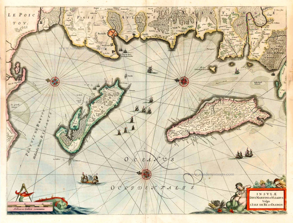
Oléron by Melchior Tavernier c. 1627-1650
The Tavernier Family.
Engravers, booksellers and publishers in Paris.
There were two Melchiors; they flourished concurrently, making their contribution impossible to distinguish.
Melchior Tavernier I, the elder (1564-1641)
Gabriel Tavernier (1566-1610)
Flemish engraver.
Melchior Tavernier II, the younger (1594-1665)
Son of Gabriel Tavernier. Engraver, mapseller and publisher 'dans l'Isle du Palais à la Sphère Royale', Paris.
He sold the works of Hondius, Janssonius and Willem Blaeu as some of the earliest published works of Nicolas Sanson. He sold most of his plates and equipment to Pierre Mariette in 1644.
Jean Bapitiste Tavernier (1605-1689)
He was the brother of Melchior and later became a merchant, diplomat, and traveller in Turkey, Persia, Central Asia, and the East Indies.
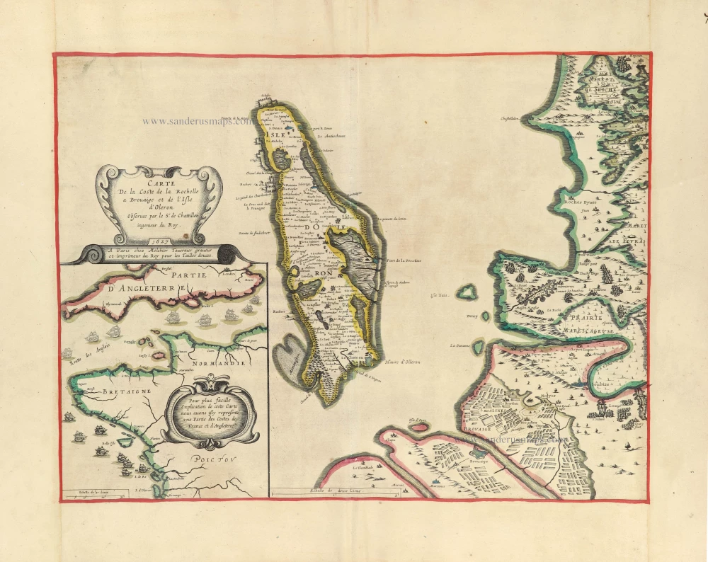
Carte de la coste de la Rochelle a Brouaige et de l'Isle d'Oleron.
Item Number: 30884 Authenticity Guarantee
Category: Antique maps > Europe > France
Map of the island of Oléron with a part of the Atlantic coast of Southern France, by Melchior Tavernier.
The map shows the area around La Rochelle and Hiers-Brouage. RARE.
Title: Carte de la coste de la Rochelle a Brouaige et de l'Isle d'Oleron.
Observee par le Sr de Chatillon ingenieur du Roy. 1627.
A Paris chez Melchior Tavernier graveur et imprimeur du Roy pour les Tailles douces.
Cartographer: Claude de Chastillon.
Date of the first edition: 1627.
Date of this map: c. 1627-33.
Date on map: 1627.
Copper engraving, printed on heavy paper.
Image size: 395 x 515mm (15.55 x 20.28 inches).
Sheet size: 505 x 685mm (19.88 x 26.97 inches).
Verso: Blank.
Condition: Original coloured, excellent.
Condition Rating: A+.
Separate publication - from a French Composite Atlas, c. 1610-1650.
This map appeared in the atlas: Theatre geographique du royaume de France. Paris, Melchior Tavernier, 1632.
The Tavernier Family.
Engravers, booksellers and publishers in Paris.
There were two Melchiors; they flourished concurrently, making their contribution impossible to distinguish.
Melchior Tavernier I, the elder (1564-1641)
Gabriel Tavernier (1566-1610)
Flemish engraver.
Melchior Tavernier II, the younger (1594-1665)
Son of Gabriel Tavernier. Engraver, mapseller and publisher 'dans l'Isle du Palais à la Sphère Royale', Paris.
He sold the works of Hondius, Janssonius and Willem Blaeu as some of the earliest published works of Nicolas Sanson. He sold most of his plates and equipment to Pierre Mariette in 1644.
Jean Bapitiste Tavernier (1605-1689)
He was the brother of Melchior and later became a merchant, diplomat, and traveller in Turkey, Persia, Central Asia, and the East Indies.