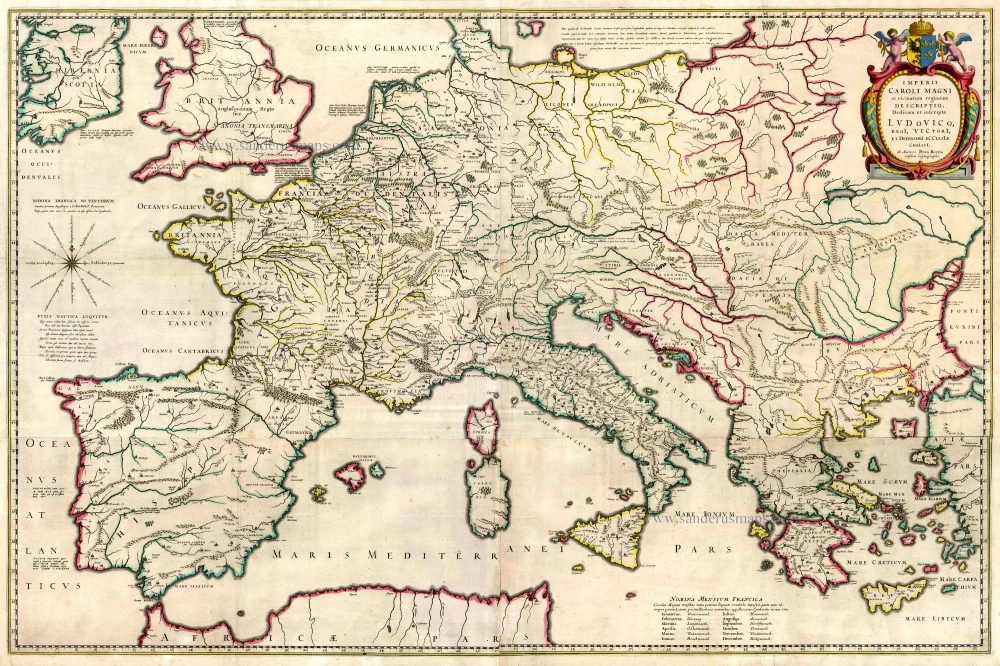
Antique map of Southern Europe by J. Blaeu 1664-65
back
References: Van der Krogt 2 - 1050H:2
Imperii Caroli Magni et Vicinarum Regionum Descriptio ...
SOLD
Item Number: 13087 Authenticity Guarantee
Category: Antique maps > Europe > Europe Continent
Map of Central and Southern Europe, oriented to the North
Cartographer: Petrus Bertius
Copper engraving, printed from four plates, joined.
Size: 64 x 98cm (25 x 38.2 inches)
Verso text: Dutch
Condition: Old coloured, some small repairs, nice copy.
Condition Rating: A
References: Van der Krogt 2, 1050H:2.
From: J. Blaeus Grooten Atlas, oft Werelt- Beschryving, in welcke 't Aerdryck, de Zee, en Hemel, wort vertoont en beschreven. Amsterdam, J. Blaeu, 1664. (Van der Krogt 2, 621)

