
Eastern Roman Empire, by Zacharias Châtelain. 1720

The Châtelain Family
Zacharias Châtelain (1684-1743) was a bookseller and publisher of Amsterdam. He was succeeded by his sons Zacharias jr and Henry Abraham. The Châtelain family was best known for the historical atlas Atlas Historique, ou nouvelle introduction à l’histoire…, a major work of its time. It was an encyclopaedia in seven volumes, including geography as one of its main subjects. The atlas was published in Amsterdam in seven volumes in various editions with different imprints from 1705 to 1739. An anonym person (Mr. C***) compiled the work with compositions of text, maps, plates and chronological and genealogical tables by Gueudeville, except volume 7, where H.P. Limiers took over this task. The maps were made mainly after the work of Guillaume de l'Isle.
The 1705 edition was published with the imprint “L’Honoré & Châtelain”. Later editions had the imprint: “les Frères Châtelain Libraires” or “L’Honoré & Châtelain Libraires”.
Nouvelle Carte pour servir à L'Histoire de L'Empire D'Orient depuis les premiers Empereurs Romains jusques après les successeurs de l'Empereur Theodose avec des tables et des remarques tres instructives.
Item Number: 29358 Authenticity Guarantee
Category: Antique maps > Europe > Europe Continent
Old, antique map of the Eastern Roman Empire, by Zacharias Châtelain.
Title: Nouvelle Carte pour servir à L'Histoire de L'Empire D'Orient depuis les premiers Empereurs Romains jusques après les successeurs de l'Empereur Theodose avec des tables et des remarques tres instructives.
Tome 7 N° 4
Date of the first edition: 1720.
Date of this map: 1720.
Copper engraving, printed on paper.
Map size: 500 x 575mm (19.69 x 22.64 inches).
Sheet size: 530 x 635mm (20.87 x 25 inches).
Verso: Blank.
Condition: Folds as issued, excellent.
Condition Rating: A+.
From: Châtelain Z. Supplément A L'Atlas Historique, Contenant Diverses pièces de Chronologie, de Genealogie, d'Histoire, & d'autres Sviences qui avoient été omises dans les précéens Volumes. ... Tome VII. & dernier. A Amsterdam, Chez L'Honoré & Châtelain Libraires, M.DCC.XX. (1720). (Koeman II, p. 38, Cha8)
The Châtelain Family
Zacharias Châtelain (1684-1743) was a bookseller and publisher of Amsterdam. He was succeeded by his sons Zacharias jr and Henry Abraham. The Châtelain family was best known for the historical atlas Atlas Historique, ou nouvelle introduction à l’histoire…, a major work of its time. It was an encyclopaedia in seven volumes, including geography as one of its main subjects. The atlas was published in Amsterdam in seven volumes in various editions with different imprints from 1705 to 1739. An anonym person (Mr. C***) compiled the work with compositions of text, maps, plates and chronological and genealogical tables by Gueudeville, except volume 7, where H.P. Limiers took over this task. The maps were made mainly after the work of Guillaume de l'Isle.
The 1705 edition was published with the imprint “L’Honoré & Châtelain”. Later editions had the imprint: “les Frères Châtelain Libraires” or “L’Honoré & Châtelain Libraires”.
Related items
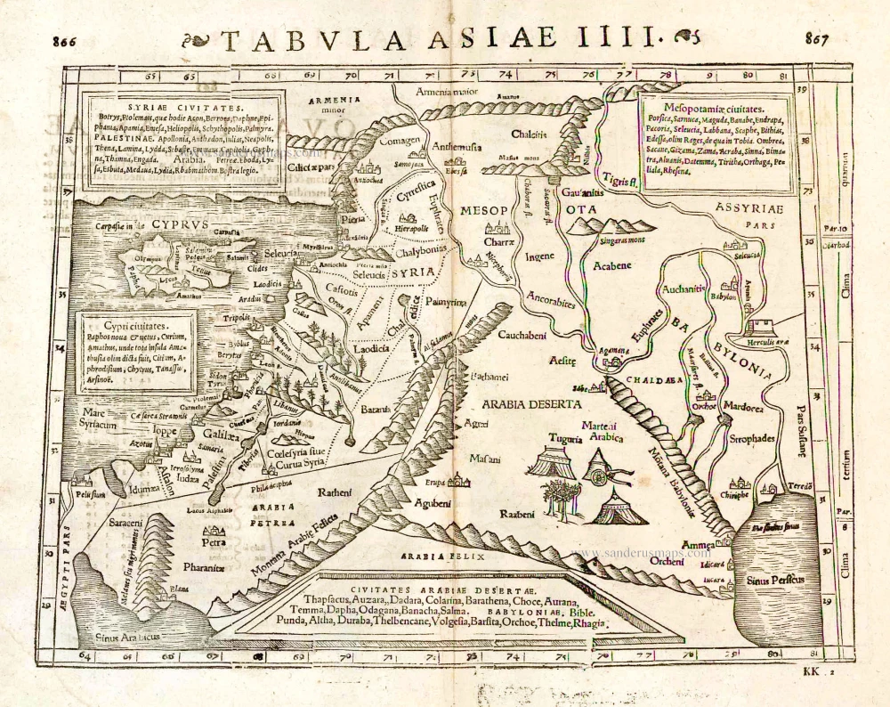
Tabula Asiae IIII. 1571
Middle East - Cyprus - Holy Land by Strabo - Sebastian Münster
[Item number: 25653]

Tabula .IIII. Asiae. 1525
Middle East, by Lorenz Fries.
[Item number: 27995]

Nouvelle Carte pour servir à L'Histoire de L'Empire D'Occident depuis les premiers Empereurs Romains jusques après les successeurs de l'Empereur Theodose avex des tables et des remarques tres instructives. 1720
Western Roman Empire, by Zacharias Châtelain.
[Item number: 29357]

Probably the most attractive map of the Roman Empire
Romani Imperii Imago. 1601
Roman Empire by Ortelius Abraham
[Item number: 32934]