
Brandenburg, Pommern, Mecklenburg by Willem and Joan Blaeu. c. 1630-1650

The Blaeus: Willem Janszoon, Cornelis & Joan
Willem Jansz. Blaeu and his son Joan Blaeu are the seventeenth century's most widely known cartographic publishers.
Willem Jansz. (also written Guilielmus Janssonius) = Willem Janszoon Blaeu was born in Uitgeest (Netherlands), near Alkmaar, in 1571. He studied mathematics under Tycho Brahe and learned the theory and practice of astronomical observations and the art of instrument- and globe-making.
In 1596, he came to Amsterdam, where he settled down as a globe-, instrument- and mapmaker. He published his first cartographic work (a globe) in 1599 and probably published his first printed map (a map of the Netherlands) in 1604. He specialised in maritime cartography, published the first edition of the pilot guide Het Licht der Zeevaert in 1608, and was appointed Hydrographer of the V.O.C. (United East India Company) in 1633. After publishing books, wall maps, globes, charts and pilot guides for thirty years, he brought out his first atlas, Atlas Appendix (1630). This was the beginning of the great tradition of atlas-making by the Blaeus.
In 1618, another mapmaker, bookseller and publisher, Johannes Janssonius, established himself in Amsterdam next door to Blaeu's shop. No wonder these two neighbours began accusing each other of copying and stealing their information and became fierce competitors who did not have a good word to say about each other. In about 1621 Willem Jansz. decided to end the confusion between his name and his competitor's and assumed his grandfather's nickname, 'blauwe Willem' ('blue Willem'), as the family name; after that, he called himself Willem Jansz. Blaeu.
Willem Janszoon Blaeu died in 1638, leaving his prospering business to his sons, Cornelis and Joan. We only know that Cornelis's name occurs in the prefaces of books and atlases until c. 1645.
Joan Blaeu, born in Amsterdam in 1596, became a partner in his father's book trade and printing business. 1638, he was appointed his father's successor in the Hydrographic Office of the V.O.C. His efforts culminated in the magnificent Atlas Major and the town books of the Netherlands and Italy – works unsurpassed in history and modern times, giving eternal fame to the name of the Blaeu's.
A fire ruined the business on February 23, 1672, and one year later, Dr. Joan Blaeu died. The fire and the director's passing caused the complete sale of the Blaeu House's stock. Five public auctions dispersed the remaining books, atlases, copperplates, globes, etc., among many other map dealers and publishers in Amsterdam. The majority was acquired by several booksellers acting in partnership.
In the succeeding years, the remaining printing department remained in the hands of the Blaeu family until 1695, when the printing house's inventory was sold at a public auction. That meant the end of the Blaeu family as a printing house of world renown.
Brandeburgum Marchionatus cum Ducatibus Pomeraniae et Mekelenburgi.
Item Number: 30847 Authenticity Guarantee
Category: Antique maps > Europe > Germany
Brandenburg, Pommern, Mecklenburg by Willem and Joan Blaeu.
Title: Brandeburgum Marchionatus cum Ducatibus Pomeraniae et Mekelenburgi.
Amsterodami Apud Guiljelmum et Ioannem Blaeu.
Date of the first edition: 1631.
Date of this map: c. 1630-1650.
Copper engraving, printed on heavy paper.
Image size: 400 x 525mm (15.75 x 20.67 inches).
Sheet size: 505 x 690mm (19.88 x 27.17 inches).
Verso: Blank.
Condition: Original coloured, age-toned.
Condition Rating: A.
Separate publication - from a French Composite Atlas, c. 1630-1650.
Side margins extended, with an old French handwritten explanatory text in the side margins.
The Blaeus: Willem Janszoon, Cornelis & Joan
Willem Jansz. Blaeu and his son Joan Blaeu are the seventeenth century's most widely known cartographic publishers.
Willem Jansz. (also written Guilielmus Janssonius) = Willem Janszoon Blaeu was born in Uitgeest (Netherlands), near Alkmaar, in 1571. He studied mathematics under Tycho Brahe and learned the theory and practice of astronomical observations and the art of instrument- and globe-making.
In 1596, he came to Amsterdam, where he settled down as a globe-, instrument- and mapmaker. He published his first cartographic work (a globe) in 1599 and probably published his first printed map (a map of the Netherlands) in 1604. He specialised in maritime cartography, published the first edition of the pilot guide Het Licht der Zeevaert in 1608, and was appointed Hydrographer of the V.O.C. (United East India Company) in 1633. After publishing books, wall maps, globes, charts and pilot guides for thirty years, he brought out his first atlas, Atlas Appendix (1630). This was the beginning of the great tradition of atlas-making by the Blaeus.
In 1618, another mapmaker, bookseller and publisher, Johannes Janssonius, established himself in Amsterdam next door to Blaeu's shop. No wonder these two neighbours began accusing each other of copying and stealing their information and became fierce competitors who did not have a good word to say about each other. In about 1621 Willem Jansz. decided to end the confusion between his name and his competitor's and assumed his grandfather's nickname, 'blauwe Willem' ('blue Willem'), as the family name; after that, he called himself Willem Jansz. Blaeu.
Willem Janszoon Blaeu died in 1638, leaving his prospering business to his sons, Cornelis and Joan. We only know that Cornelis's name occurs in the prefaces of books and atlases until c. 1645.
Joan Blaeu, born in Amsterdam in 1596, became a partner in his father's book trade and printing business. 1638, he was appointed his father's successor in the Hydrographic Office of the V.O.C. His efforts culminated in the magnificent Atlas Major and the town books of the Netherlands and Italy – works unsurpassed in history and modern times, giving eternal fame to the name of the Blaeu's.
A fire ruined the business on February 23, 1672, and one year later, Dr. Joan Blaeu died. The fire and the director's passing caused the complete sale of the Blaeu House's stock. Five public auctions dispersed the remaining books, atlases, copperplates, globes, etc., among many other map dealers and publishers in Amsterdam. The majority was acquired by several booksellers acting in partnership.
In the succeeding years, the remaining printing department remained in the hands of the Blaeu family until 1695, when the printing house's inventory was sold at a public auction. That meant the end of the Blaeu family as a printing house of world renown.
Related items

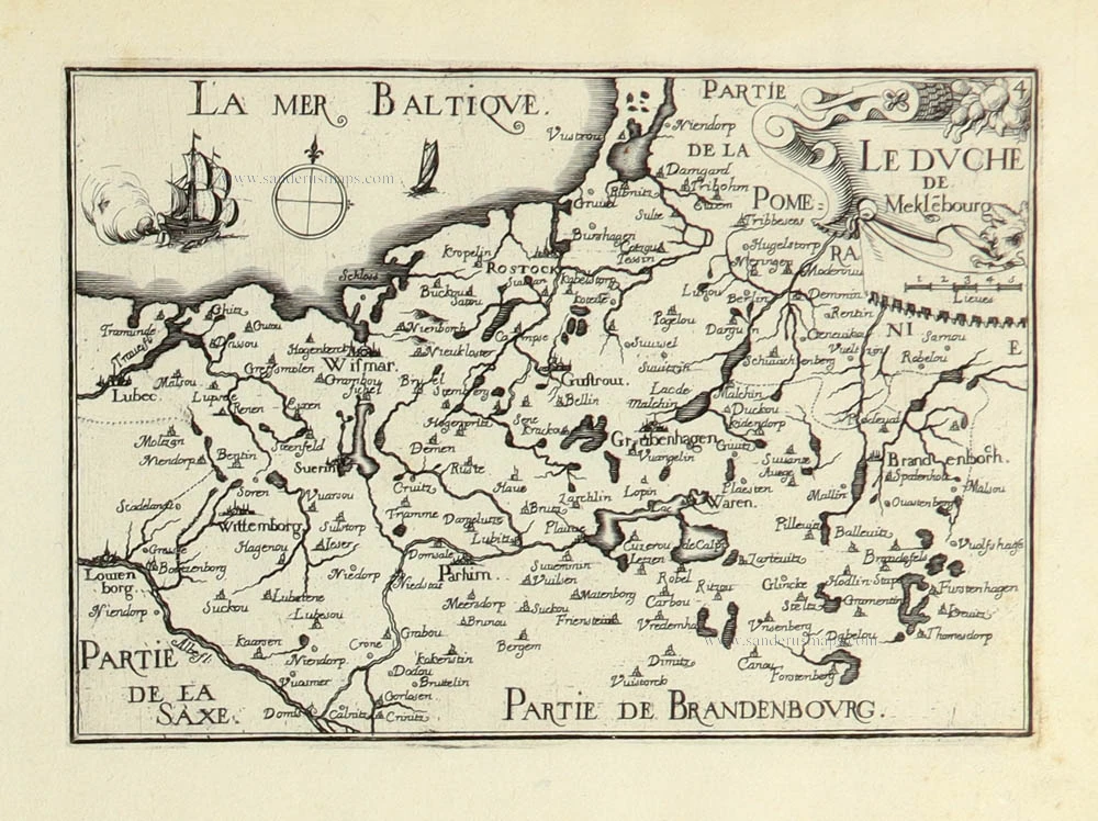
Meklenburg Ducatus. 1633
Mecklenburg by Johannes Janssonius.
[Item number: 8596]

Brandeburgensis Marchae Descriptio. 1612
Brandenburg by Abraham Ortelius.
[Item number: 22987]

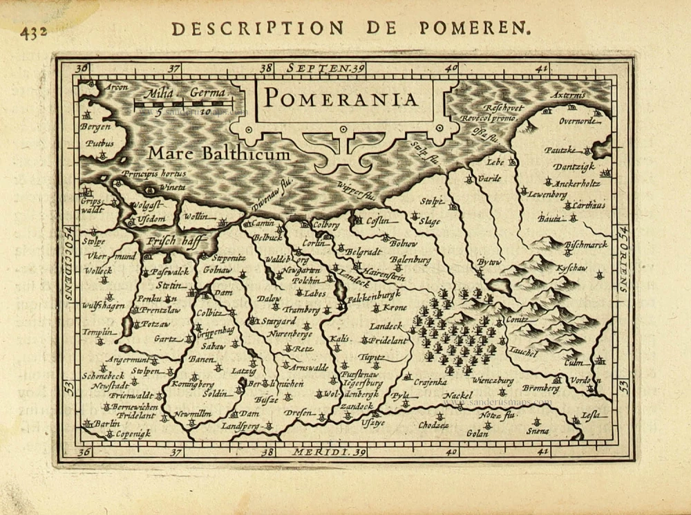
Pomeraniae, Wandaliae Regionis Typ. [on sheet with] Livoniae Nova Descriptio [and] Ducatus Oswieczensis et Zatoriensis, Descriptio. 1612
Pommern, Livonia, Oswiecim & Zator, by Abraham Ortelius.
[Item number: 23028]

Ducatus Meklenburgicus in quo sunt Ducatus Vandaliae et Meklenburgi Ducatus et Comitatus Swerinensis 1721-41
Mecklenburg by Frederick de Wit, published by Covens & Mortier.
[Item number: 23848]

Pomeraniae, Wandaliae Regionis Typ. - Livoniae Nova Descriptio - Ducatus Oswieczensis Et Zatoriensis, Descriptio. 1579
Pommern, Livonia, Auschwitz by Ortelius A
[Item number: 23862]

Saxonia Inferior et Meklenborg Duc: 1623
Niedersachsen and Mecklenburg, by Gerard Mercator.
[Item number: 24969]

Meklenburg Ducatus. Auctore Ioanne Laurenbergio. 1643
Mecklenburg, by Willem Blaeu.
[Item number: 27107]

Pomeraniae Ducatus Tabulam. c. 1678
Pommerania (Pommern) by Nicolaes Visscher I.
[Item number: 28452]

Ducatus Pomeraniae Tabula Generalis, in qua sunt Ducatus Pomeraniae, Stettinensis Cassubiae, Vandaliae et Bardensis, Principatus Rugiae ac Insulae, Comitatus Guskoviensis, et Dominia Louwenburgense et Butoviense. c. 1690
Pommern by Frederick De Wit.
[Item number: 28821]

Marca Brandenburgensis & Pomerania. 1619
Brandenburg - Pommern by Gerard Mercator.
[Item number: 28837]

First state
Carte Geographique du Duché de Pomeranie et Mecklenbourg. c. 1709
Pomeranian by Nicolas Visscher.
[Item number: 29993]

Pomeraniae Ducatus Tabula. 1643
Poland - Pommern, by Willem Blaeu.
[Item number: 30238]

Marchionatus Brandenburgicus. 1653
Brandenburg by Johannes Janssonius.
[Item number: 30413]

Marca Brandenburgensis & Pomerania. c. 1630-1650
Brandenburg - Pommern, by Gerard Mercator, published by Henricus Hondius.
[Item number: 31621]
Pomerania. 1618
Pommern by Petrus Bertius, published by Jodocus Hondius II.
[Item number: 31629]
Le Duche de Mekle[m]bourg 1633
Mecklenburg by C. Tassin.
[Item number: 31752]

Braunswick & Magdebourg. 1633
Braunschweig & Magdeburg by C. Tassin.
[Item number: 31760]

Le Bra[n]de[n]bourg. 1633
Brandenburg by C. Tassin.
[Item number: 31761]

Marchionatus Brandenburgi et Ducatus Pomeraniae Tabula Quae est Pars Septentrionalis Circulo Saxoniae Superioris. 1682-88
Brandenburg - Pomerania by Frederick de Wit.
[Item number: 32631]

Ducatus Meklenburgicus in quo sunt Ducatus Vandaliae et Meklenburgi Comitatus et Episcopatus Swerinensis Rostochiense et Stargardiense Domin. c. 1680
Mecklenburg by Frederick de Wit.
[Item number: 32632]