
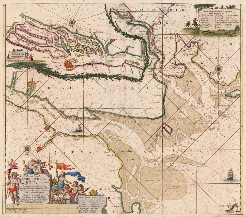
Sea chart of Lower Saxony, by Van Keulen Johannes. 1697-1709
The House of Van Keulen
For more than two centuries, the chart makers firm of Van Keulen was established in the house with the name of “De Gekroonde Lootsman” (The Crowned Pilot). In 1678, the founder of the firm, Johannes I Van Keulen (1634-1689), registered with the Amsterdam booksellers’ guild. He had enlisted the aid of the well-known Mathematical Practitioner Claas Janz Vooght in the preparation of his nautical publications. In 1680 he published the first edition of the Zee-Atlas with 40 charts, all issued for the first time. In the short period of four years, they produced the five volumes of the Nieuwe Groote Ligtende Zee-Fakkel (1681-85). His acquisition of the stock of the bookseller Hendrik Doncker was an essential factor in the development of the firm.
In 1678 a son, Gerard Van Keulen (1678-1726), was born out of Johannes’s first marriage. This son was endowed with talent. He was a skilful engraver and proficient in mathematics and navigational science. Gerard was responsible for establishing the scientific basis of the firm of Van Keulen. In 1714 he was appointed to the office of hydrographer to the Dutch East India Company. The Van Keulens remained chart makers to the East India Company until the Company’s liquidation.
With the introductions to the Zee-Fakkel and Zee-Atlas, Gerard van Keulen gave a new impetus to the firm. Unfortunately, he did not live long, dying when he was 49. The business was carried on by his widow Ludwina Konst. Shortly before Gerard’s death, his son Johannes II had entered the bookseller’s guild, and in 1726 he assumed the management of the firm, though his mother retained her financial interests in the business.
Johannes II Van Keulen (1704-1755) is known in particular for his publication in 1753 of a sixth volume of the Zee-Fakkel, the volume containing the charts of the route to the East Indies.
Johannes II had two sons; they joined the firm as partners in 1757. A considerable number of books appeared in the period 1778-1801. New issues of the Zee-Fakkel again saw the light. The firm flourished under different names until 1885.
Paskaart vande Iade, Weser en Elve. Met een Gedeelte van Emderland, Keydingerland, Holsatia en Ditmarschen.
Item Number: 12459 Authenticity Guarantee
Category: Antique maps > Europe > Germany
Old, antique sea chart of Lower Saxony showing the mouth of the river Weser, Jade and Elbe, by Van Keulen Johannes.
Title: Paskaart vande Iade, Weser en Elve. Met een Gedeelte van Emderland, Keydingerland, Holsatia en Ditmarschen.
Inset map in the upper left corner showing Hamburg at the river Elbe.
Early state with engraved number 6.
Oriented to the south.
Date: 1697-1709.
Copper engraving, printed on paper.
Size (not including margins): 510 x 580mm (20.08 x 22.83 inches).
Verso: Blank.
Condition: Original coloured, age-toned, minor spotting.
Condition Rating: A
From: De Nieuwe Groote Lichtende Zee-Fakkel, ... Amsterdam, J. van Keulen, 1697-1709.
The House of Van Keulen
For more than two centuries, the chart makers firm of Van Keulen was established in the house with the name of “De Gekroonde Lootsman” (The Crowned Pilot). In 1678, the founder of the firm, Johannes I Van Keulen (1634-1689), registered with the Amsterdam booksellers’ guild. He had enlisted the aid of the well-known Mathematical Practitioner Claas Janz Vooght in the preparation of his nautical publications. In 1680 he published the first edition of the Zee-Atlas with 40 charts, all issued for the first time. In the short period of four years, they produced the five volumes of the Nieuwe Groote Ligtende Zee-Fakkel (1681-85). His acquisition of the stock of the bookseller Hendrik Doncker was an essential factor in the development of the firm.
In 1678 a son, Gerard Van Keulen (1678-1726), was born out of Johannes’s first marriage. This son was endowed with talent. He was a skilful engraver and proficient in mathematics and navigational science. Gerard was responsible for establishing the scientific basis of the firm of Van Keulen. In 1714 he was appointed to the office of hydrographer to the Dutch East India Company. The Van Keulens remained chart makers to the East India Company until the Company’s liquidation.
With the introductions to the Zee-Fakkel and Zee-Atlas, Gerard van Keulen gave a new impetus to the firm. Unfortunately, he did not live long, dying when he was 49. The business was carried on by his widow Ludwina Konst. Shortly before Gerard’s death, his son Johannes II had entered the bookseller’s guild, and in 1726 he assumed the management of the firm, though his mother retained her financial interests in the business.
Johannes II Van Keulen (1704-1755) is known in particular for his publication in 1753 of a sixth volume of the Zee-Fakkel, the volume containing the charts of the route to the East Indies.
Johannes II had two sons; they joined the firm as partners in 1757. A considerable number of books appeared in the period 1778-1801. New issues of the Zee-Fakkel again saw the light. The firm flourished under different names until 1885.
Related items
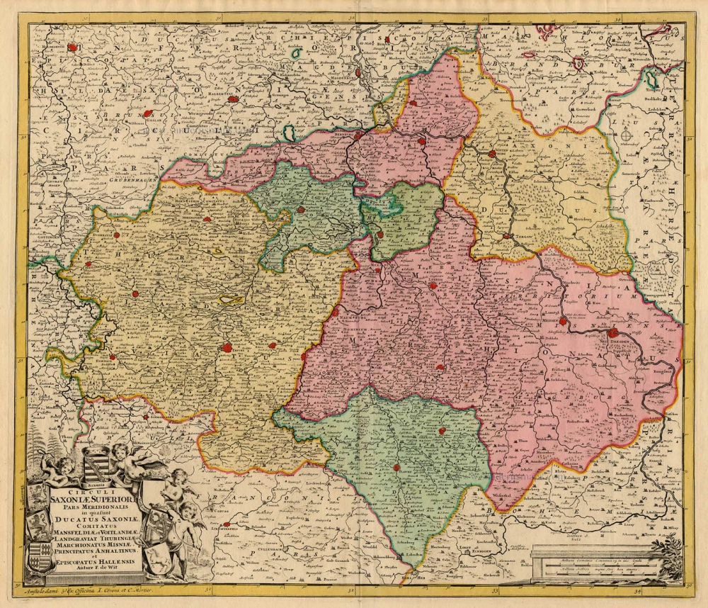
Circuli Saxoniae Superiori pars Meridionalis. c. 1715
Sachsen, by de Wit - Covens & Mortier.
[Item number: 1268]

Saxonia Superior, & Hall Episcopatus. 1659-72
Obersachsen & Halle by Willem Blaeu.
[Item number: 9856]
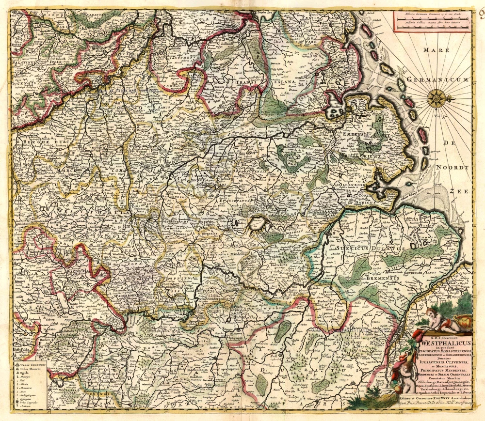
S.R.I. Circulus Westphalicus in quo sunt Episcopatus Monarsteriensis Paderbornensis et Osnabrugiensis, Ducatus Iuliasnensis, Clivensis, et Montensis, Principatus Mindensis, Ferdensis et Frisiae Orientalis, Comitatus Marchiae, Oldenburgi, Ravenspergae ... c. 1680
Rheinland-Westfalen & Nieder Sachsen, by F. De Wit.
[Item number: 10569]
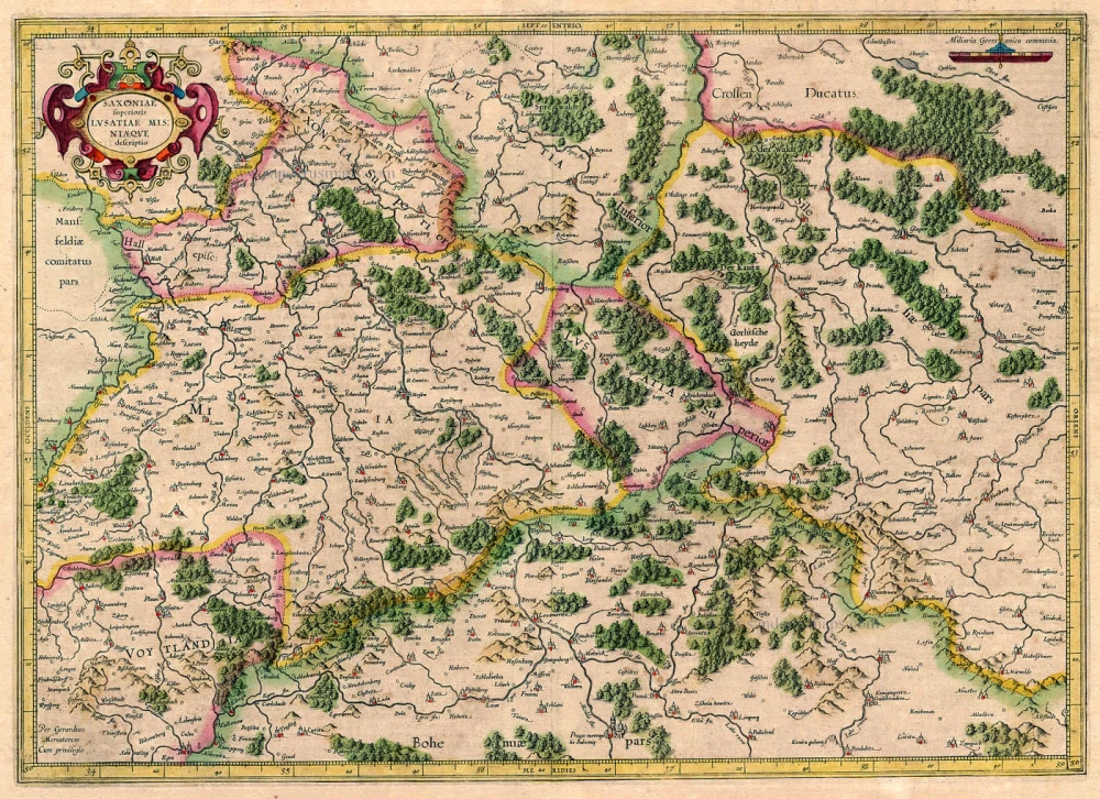
Saxoniae Superioris Lusatiae Misniaequae descriptio. 1619
Sachsen, by G. Mercator.
[Item number: 12571]

Circulus Saxoniae Inferioris in quo sunt Ducatus Holsatiae, Meklenburg, Lauweburgi, Luneburgi, Brunsuigi, Bremae et Ferdae, ... c. 1680
Niedersachsen, by de Wit F.
[Item number: 13775]

Saxoniae, Misniae, Thuringiae, Nova Exactissima que Descriptio. 1581
Old, antique map of Obersachsen, Meissen, Thüringen by Ortelius A.
[Item number: 17545]

Saxonia Superior, cum Lusatia et Misnia. 1647-50
Obersachsen, Lausitz, Meissen by Blaeu W.
[Item number: 18896]

Saxoniae, Misniae, Thuringiae, Nova Exactissima que Descriptio. 1612
Obersachsen, Meissen and Thüringen, by A. Ortelius.
[Item number: 23120]

Ducatus Brunsuicensis in ejusdem tres Principatus Calenbergicum Scilicet et Grubenhagensem ... et in Guelpherbitanum ... 1721-41
Lower Saxony, by Covens & Mortier.
[Item number: 23851]

Marchionatus Misniae Ditio Generalis, qua non Solum Misniense, Lipsiense, Voilandiae, Osterlandiae, ... 1721-41
Saxony, by Covens & Mortier.
[Item number: 23854]

Saxonia Inferior et Meklenborg Duc: 1623
Niedersachsen and Mecklenburg, by Gerard Mercator.
[Item number: 24969]

Cercle de la Basse Saxe. 1713
The Lower Saxon Circle, by Pieter van der Aa.
[Item number: 26193]