
In rare original colour. - Two plates
Venice, by Zacharias Châtelain. 1708


The Châtelain Family
Zacharias Châtelain (1684-1743) was a bookseller and publisher of Amsterdam. He was succeeded by his sons Zacharias jr and Henry Abraham. The Châtelain family was best known for the historical atlas Atlas Historique, ou nouvelle introduction à l’histoire…, a major work of its time. It was an encyclopaedia in seven volumes, including geography as one of its main subjects. The atlas was published in Amsterdam in seven volumes in various editions with different imprints from 1705 to 1739. An anonym person (Mr. C***) compiled the work with compositions of text, maps, plates and chronological and genealogical tables by Gueudeville, except volume 7, where H.P. Limiers took over this task. The maps were made mainly after the work of Guillaume de l'Isle.
The 1705 edition was published with the imprint “L’Honoré & Châtelain”. Later editions had the imprint: “les Frères Châtelain Libraires” or “L’Honoré & Châtelain Libraires”.
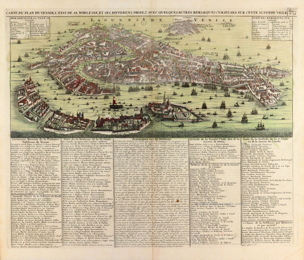
Carte du Plan de Venise, l'Etat de sa Noblesse, et ses differens degrez, avec quelques autres remarques curieuses sur cette superbe ville. [With:] Carte du Gouvernement Militaire de la République de Venise ...
Item Number: 31423 Authenticity Guarantee
Category: Antique maps > Europe > Italy - Cities
Venice, by Zacharias Châtelain. - Two maps.
Title: Carte du Plan de Venise, l'Etat de sa Noblesse, et ses differens degrez, avec quelques autres remarques curieuses sur cette superbe ville. [With:] Carte du Gouvernement Militaire de la République de Venise ...
Tome 2. N° 74.
Tome 2. N° 76.
Date of the first edition: 1708.
Date of this map: 1708.
Two maps - copper engravings, printed on paper.
Image size each: 390 x 470mm (15¼ x 18½ inches).
Sheet size each: 445 x 505mm (17½ x 20 inches).
Verso: Blank.
Condition: Original coloured, small rust hole in text of second sheet.
Condition Rating: A+.
From: Châtelain Z. Atlas Historique, ou Nouvelle Introduction A l'Histoire, à la Chronologie & à la Geographie Ancienne & Moderne; ... Tome II. Qui comprend l'Allemagne, la Prusse, la Hongrie, & la Bohème. A Amsterdam, Chez L'Honoré & Châtelain Libraires, M.DCC.VIII. (1708). (Koeman II, p. 35, Cha3)
Châtelain maps are rarely found in original colouring.
The Châtelain Family
Zacharias Châtelain (1684-1743) was a bookseller and publisher of Amsterdam. He was succeeded by his sons Zacharias jr and Henry Abraham. The Châtelain family was best known for the historical atlas Atlas Historique, ou nouvelle introduction à l’histoire…, a major work of its time. It was an encyclopaedia in seven volumes, including geography as one of its main subjects. The atlas was published in Amsterdam in seven volumes in various editions with different imprints from 1705 to 1739. An anonym person (Mr. C***) compiled the work with compositions of text, maps, plates and chronological and genealogical tables by Gueudeville, except volume 7, where H.P. Limiers took over this task. The maps were made mainly after the work of Guillaume de l'Isle.
The 1705 edition was published with the imprint “L’Honoré & Châtelain”. Later editions had the imprint: “les Frères Châtelain Libraires” or “L’Honoré & Châtelain Libraires”.
Related items

Prospectus Plateae D. Marci, à parte Sti Geminiani 1729
Venice (Venezia), by P. Van der Aa.
[Item number: 12742]

Venetae Urbis Descriptio. 1567-1596
Venice (Venezia) by Ludivico degli Avanzi.
[Item number: 25499]
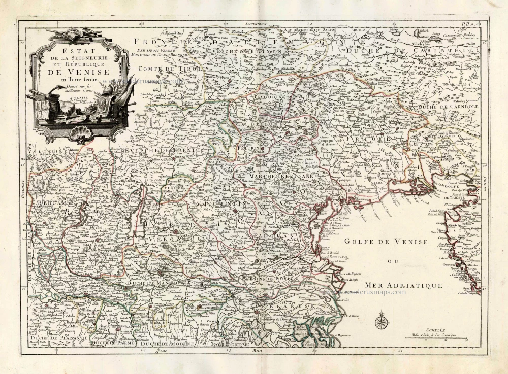
Estat de la Seigneurie, et République de Venise en Terre ferme. 1776-79
Venice, by Paolo Santini.
[Item number: 27711]

A View of St Eustathius's Church & the Rivo alti Buildings in Venice. 18th cent.
Venice, St Eustathius's Church & the Rivo alti Buildings
[Item number: 28984]

Augusti apud Venetos Templi D: Marci Accuratissima Effiguratio [on sheet with] Palatii Senatorii apud Venetos conflagratio Anno MDLXXVII. 1657
Venice - Piazza San Marco and Piazetta, by Georg Braun and Frans Hogenberg, published by J. Janssonius.
[Item number: 31096]
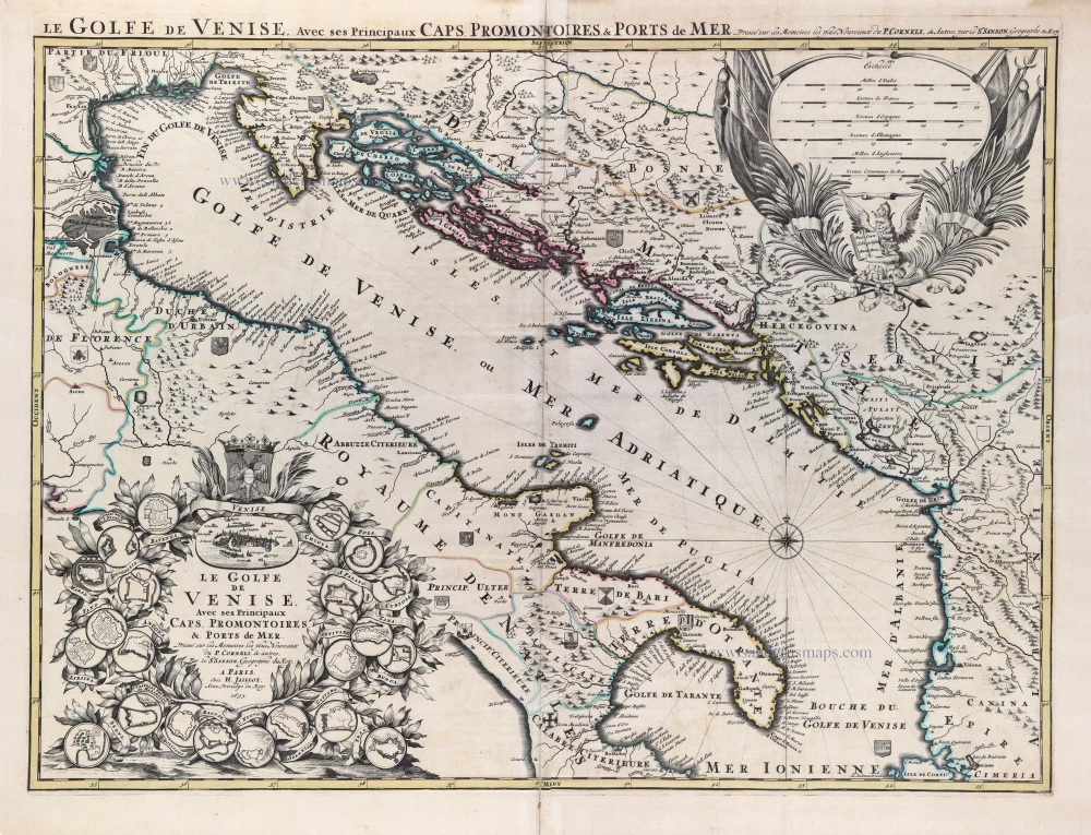
Le Golfe de Venise, avec les Principaux Caps, Promontoires, & Ports de Mer. 1692
Adriatic Sea, cartouche with a bird's-eye view of Venice and 22 plans of fortified cities, by N. Sanson after Vincenzo Coronelli. So-called published by Hubert Jaillot. (Pirated edition by Pierre Mortier).
[Item number: 31203]

'Incunable' view of Venice
Venecie. 1493
Venezia by Schedel, Hartmann.
[Item number: 31799]

Veduta della Piazza di S. Marco verso D. Giminiano à Venetia. - Prospect des Platzes von S. Marco gegen S. Giminiano in Venedig. [in set with] Altra veduta della Piazza di S. Marco à Venetia. - Anderer Prospect des Platzes von S. Marco in Venedig. c. 1750
Two views of the Piazza di San Marco in Venice (Venezia), by Martin Engelbrecht.
[Item number: 31991]

Palazzo Vidimano a S. Canciano à Venetia. - Der Vidimanische Pallast beij S. Canciano in Venedig. c. 1750
Palazzo Vidimano a S. Canciano in Venice (Venezia), by Martin Engelbrecht.
[Item number: 31993]

Chiesa del Spirito Santo di Monache Agostiniani su le Zattare à Venetia. - Die Kirch des Heil: Geistes der Augustiner Mönch in Venedig. c. 1750
Church of the Holy Ghost in Venice (Venezia), by Martin Engelbrecht.
[Item number: 31994]

Veduta della Chiesa e Spiagia di S. Nicolo di Castello à Venetia. - Prospect der Kirchen von St. Nicolaus vom Schloß und derselben angenehmen Gegens in Venedig. c. 1750
Church of S. Nicolo di Castello in Venice (Venezia), by Martin Engelbrecht.
[Item number: 31999]

Chiesa di SS. Gio e Paulo à Venezia. - Prospect der Kirchen von SS. Iohann ù: Paul in Venedig. c. 1750
Basilica dei Santi Giovanni e Paolo in Venice (Venezia), by Martin Engelbrecht.
[Item number: 32000]

Altra Veduta di S. Giorgio Maggiore à Venetia. - Prospect der Kirchen St. Georgio des größern in Venedig. c. 1750
Basilica di San Giorgio Maggiore in Venice (Venezia), by Martin Engelbrecht.
[Item number: 32001]
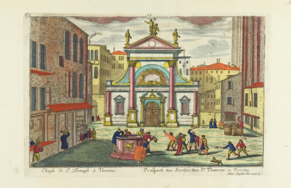
Chiesa di S. Tomaso à Venetia. - Prospect der Kirchen von St. Thomas in Venedig. c. 1750
Church of S. Tomaso in Venice (Venezia), by Martin Engelbrecht.
[Item number: 32012]
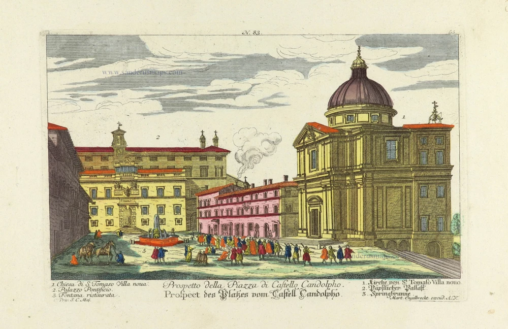
Prospetto della Piazza di Castello Candolpho. - Prospect des Platzes vom Castell Candolpho. c. 1750
Rome (Roma) - Castel Candolfo (Papal residence), by Martin Engelbrecht.
[Item number: 32013]

Piazza e Chiesa di S. Andrea della Valle. - Platz und Kirche des Heil. Andrea della Valle. c. 1750
Rome (Roma) - Church of S. Andrea della Valle, by Martin Engelbrecht.
[Item number: 32014]

Palazzo Vendramino alla Giudecea à Venetia. - Vendraminischer Pallast auf der Insel Guidecca in Venedig. c. 1750
Venice (Venezia) - Palazzo Vendramin, by Martin Engelbrecht.
[Item number: 32017]

Palazzo Mocenigi a S. Samuele à Venetia. - Mocenigischer Pallast beij S. Samuel in Venedig. c. 1750
Venice (Venezia) - Palazzo Mocenigo, by Martin Engelbrecht.
[Item number: 32018]

Palazzo Fini sopra il Canal Grande à Venetia. - Finischer Pallast auf dem grossen Canal in Venedig. c. 1750
Venice (Venezia) - Palazzo Fini, by Martin Engelbrecht.
[Item number: 32044]

Facciata della Chiese del Ospitaletto à Venetia. - Prospect der Hospital Kirche in Venedig. c. 1750
Venice (Venezia) - Chiese del Ospitaletto, by Martin Engelbrecht.
[Item number: 32045]

Augusti apud Venetos Templi D: Marci Accuratissima Effiguratio [on sheet with] Palatii Senatorii apud Venetos conflagratio Anno MDLXXVII. 1623
Venice - Piazza San Marco and Piazetta, by Georg Braun and Frans Hogenberg.
[Item number: 32431]