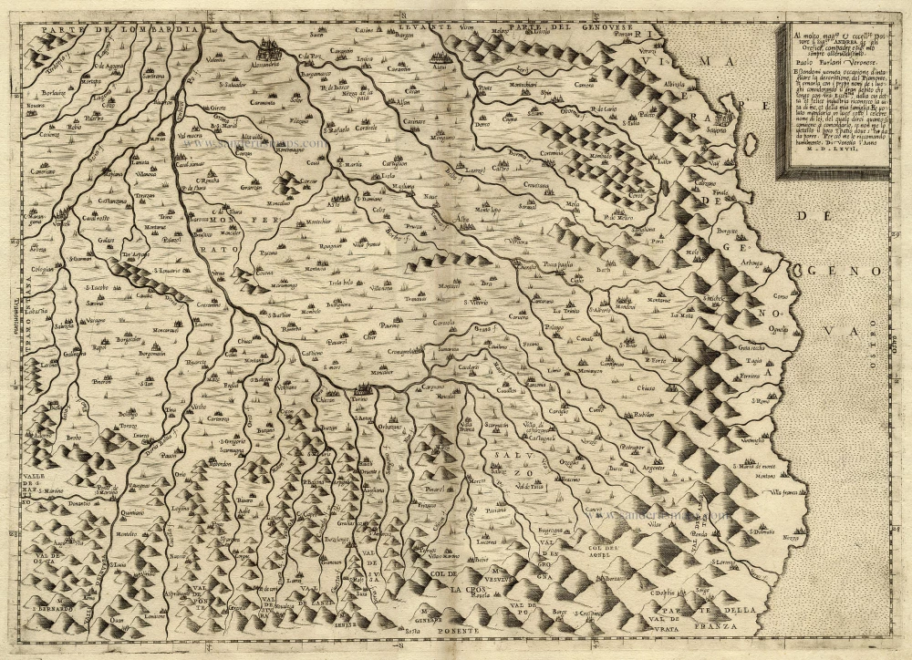
Antique map of Piemonte by
[No title]
Item Number: 14966 Authenticity Guarantee
Category: Antique maps > Europe > Italy
Size: 35.5 x 49.5cm (13.8 x 19.3 inches)
Margins: Left: 1 cm, Top: 2 cm, Right: 1 cm, Bottom: 2 cm
Verso: Blank
Condition: Excellent.
Condition Rating: A
References: Tooley, 451; Meurer (Strabo) 71; Karrow 10/1.6.
From: Separate publication - Lafreri School
"The origins of this map image of Piedmont are partly unclear. The first traces are found in manuscript atlases by the Venetian cartographer and chartmaker Battista Agnese (1514-1564). The earliest known printed version was issued by an unnamed Venetian publisher in 1553. This was the model for the present adoption by Paolo Forlani, which is - for what ever reasons - orientated east." (Meurer)

