
Papal States, by Paolo Santini. 1776-79


Francesco and Paolo Santini (c.1729-1793)
Francesco Santini, a Venetian publisher, acquired the printing plates of Vaugondy’s Atlas Universel …, a commercial and cartographic success, with widespread influence on mapmakers throughout Europe. Together with his brother Paolo, he commissioned a new set of plates and reissued the atlas in 1776. The following year, Paolo Santini assigned all his publication rights to M. Remondini, who in 1777 reissued the same atlas but with his name.
Nouvelle Carte de L'Etat de L'Eglise, dressée sur celle du P. Boscovich, divisée en trois feuilles, qui peuvent être jointes ensemble. Avec la Géographie ancienne respective.
Item Number: 27728 Authenticity Guarantee
Category: Antique maps > Europe > Italy
The Papal States, by Paolo Santini.
Three maps.
Title: Nouvelle Carte de L'Etat de L'Eglise, dressée sur celle du P. Boscovich, divisée en trois feuilles, qui peuvent être jointes ensemble. Avec la Géographie ancienne respective.
Cartographer: Ruggiero Giuseppe Boscovich SJ.
Date of the first edition: 1776.
Date of this map: 1776-79.
Copper engraving, printed on paper.
Size (not including margins): 430 x 620mm (16.93 x 24.41 inches).
Verso: Blank.
Condition: Three sheets, original coloured in outline, excellent.
Condition Rating: A+.
From: Atlas Universel dressé sur les meilleures cartes modernes. Venice, Remondini, 1776-79.
Francesco and Paolo Santini (c.1729-1793)
Francesco Santini, a Venetian publisher, acquired the printing plates of Vaugondy’s Atlas Universel …, a commercial and cartographic success, with widespread influence on mapmakers throughout Europe. Together with his brother Paolo, he commissioned a new set of plates and reissued the atlas in 1776. The following year, Paolo Santini assigned all his publication rights to M. Remondini, who in 1777 reissued the same atlas but with his name.
Related items

Status Ecclesiasticus et Magnus Ducatus Thoscanae. c. 1680
Papal States & Toscana by Frederik De Wit.
[Item number: 24382]

Descrittione dello Stato della Chiesa e della Toscana 1687
Papal States - Tuscany (Toscana), by Michel Antoine Baudrand, published by Giovanni de Rossi.
[Item number: 32919]
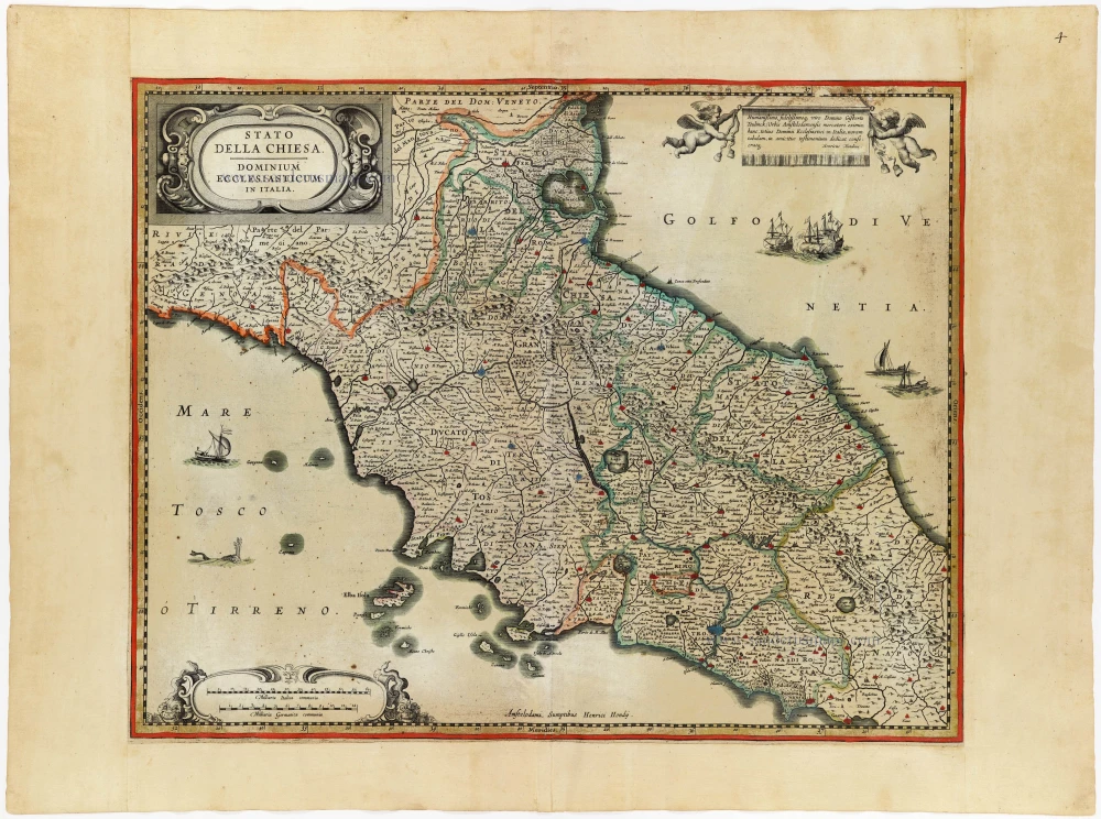
Stato della Chiesa. - Dominium Ecclesiasticum in Italia. c. 1633-1650
Papal State & central Italy by Henricus Hondius
[Item number: 33030]