
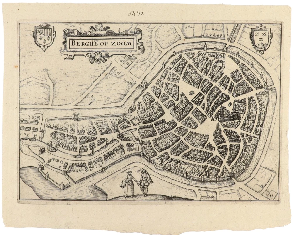
Bergen op Zoom, by Visscher N. - Schut P.H. 1656

The Visscher Family
For nearly a century, the members of the Visscher family were essential art dealers and map publishers in Amsterdam.
Claes Jansz. Visscher, or N.J. Piscator (1587-1652)
Claes Jansz. Vischer bought a house in Amsterdam, 'de gulden Bors', on the crucial Kalverstraat and changed the name into "In de Visscher"; under this title, the shop was to flourish for many years.
He was famous for his engravings and etchings of Dutch landscapes and 'historical scenes', such as sieges, battles, etc. These 'historical scenes' were considered contemporary illustrated news items, especially e.g. that of 'the Eighty Years' War'.
For the publication of his first atlas, he bought copperplates of the atlas Germania Inferior by Pieter van den Keere (1623).
In 1649, he published an atlas entitled Tabularum Geographicarum Contractarum, containing the same maps as Langenes' Caert Thresoor, for which Visscher had only new title pages engraved.
Claes Jansz. Visscher died in 1652. His wife, Neeltjen Florisdr., had already died in 1640. They had seven children, four of whom were still alive at Claes Jansz.'s death. One was Nicolaes Visscher I, who was to continue his father's business.
Nicolaes Visscher I (1618-1679)
Nicolaes Visscher I partnered with his father, continued the business, and stayed on the Kalverstraat 'in de Visscher' till his death.
In about 1657, the first edition of his Atlas Contractus Orbis Terrarum appeared.
Between 1664 and 1677, several editions of his Atlas Contractus appeared without a printed index, for these atlases had no fixed contents but were composed according to the buyer's financial leaping pole.
In May 1664, Nicolaes Visscher was admitted as a member of the Booksellers' Guild of his town. In July 1677, he was granted a patent of the States of Holland and West-Friesland for printing and publishing maps and atlases for 15 years.
After this, he again published an Atlas Contractus with a printed index. At about the same time, he also brought out an Atlas Minor.
Nicolaes Visscher II (1649-1702)
Nicolaes Visscher II inherited the 'shop' from his father. To obtain a new privilege, he applied to the States of Holland and West-Friesland in 1682 for a patent for printing and publishing maps. This patent was granted to him the same year. He moved the firm to the Dam, but it kept the same signboard: "In de Visscher".
Around 1683, he published his first Atlas Minor with a printed index of 91 maps. In 1684, an atlas Germania Inferior appeared. Till 1697, he published another number of atlases. He used his grandfather's (Claes Jansz.) maps less often now and relied more and more on his own.
The wars waged at this time initiated the compilation of maps of the countries where the armies operated. Many war maps were included in the various editions of his Atlas Minor.
After Nicolaes's death, his wife, Elizabeth Verseyl, published all the war maps as an atlas under the title De Stoel des Oorlogs in de Wereld (The seat of war in the world).
The widow of Nicolaes Visscher II (?-1726)
His widow continued the business energetically, and by her hand, under the name of her deceased husband, numerous atlases appeared, e.g., several editions of the Atlas Minor, an Atlas Maior and De Stoel des Oorlogs. The shop enjoyed a high reputation due to the assortment's incredible variety. Not only 'Visscher' maps but also maps of other publishers were obtainable. With the death of Elizabeth Verseyl in 1726, the last descendant died of a great map- and atlas-publishing firm in Amsterdam.
Bergen op Zoom.
Item Number: 25374 Authenticity Guarantee
Category: Antique maps > Europe > The Netherlands - Cities
Old antique map - panoramic view of Bergen op Zoom by N. Visscher & P.H. Schut.
Date of the first edition: 1656
Date of this map: 1656
Copper engraving
Size (not including margins): 21 x 27.5cm (8.2 x 10.7 inches)
Verso: Blank
Condition: Nice sharp impression, excellent.
Condition Rating: A+
References: Van der Krogt 4, 445.
From: Pieter Hendricksz. Schut, Theatrum praecipuarum urbium ducatus Brabantiae necnon comitatum Flandriae et Zelandiae. Amsterdam, N. Visscher, 1656. (Van der Krogt 4, 451:11)
The Visscher Family
For nearly a century, the members of the Visscher family were essential art dealers and map publishers in Amsterdam.
Claes Jansz. Visscher, or N.J. Piscator (1587-1652)
Claes Jansz. Vischer bought a house in Amsterdam, 'de gulden Bors', on the crucial Kalverstraat and changed the name into "In de Visscher"; under this title, the shop was to flourish for many years.
He was famous for his engravings and etchings of Dutch landscapes and 'historical scenes', such as sieges, battles, etc. These 'historical scenes' were considered contemporary illustrated news items, especially e.g. that of 'the Eighty Years' War'.
For the publication of his first atlas, he bought copperplates of the atlas Germania Inferior by Pieter van den Keere (1623).
In 1649, he published an atlas entitled Tabularum Geographicarum Contractarum, containing the same maps as Langenes' Caert Thresoor, for which Visscher had only new title pages engraved.
Claes Jansz. Visscher died in 1652. His wife, Neeltjen Florisdr., had already died in 1640. They had seven children, four of whom were still alive at Claes Jansz.'s death. One was Nicolaes Visscher I, who was to continue his father's business.
Nicolaes Visscher I (1618-1679)
Nicolaes Visscher I partnered with his father, continued the business, and stayed on the Kalverstraat 'in de Visscher' till his death.
In about 1657, the first edition of his Atlas Contractus Orbis Terrarum appeared.
Between 1664 and 1677, several editions of his Atlas Contractus appeared without a printed index, for these atlases had no fixed contents but were composed according to the buyer's financial leaping pole.
In May 1664, Nicolaes Visscher was admitted as a member of the Booksellers' Guild of his town. In July 1677, he was granted a patent of the States of Holland and West-Friesland for printing and publishing maps and atlases for 15 years.
After this, he again published an Atlas Contractus with a printed index. At about the same time, he also brought out an Atlas Minor.
Nicolaes Visscher II (1649-1702)
Nicolaes Visscher II inherited the 'shop' from his father. To obtain a new privilege, he applied to the States of Holland and West-Friesland in 1682 for a patent for printing and publishing maps. This patent was granted to him the same year. He moved the firm to the Dam, but it kept the same signboard: "In de Visscher".
Around 1683, he published his first Atlas Minor with a printed index of 91 maps. In 1684, an atlas Germania Inferior appeared. Till 1697, he published another number of atlases. He used his grandfather's (Claes Jansz.) maps less often now and relied more and more on his own.
The wars waged at this time initiated the compilation of maps of the countries where the armies operated. Many war maps were included in the various editions of his Atlas Minor.
After Nicolaes's death, his wife, Elizabeth Verseyl, published all the war maps as an atlas under the title De Stoel des Oorlogs in de Wereld (The seat of war in the world).
The widow of Nicolaes Visscher II (?-1726)
His widow continued the business energetically, and by her hand, under the name of her deceased husband, numerous atlases appeared, e.g., several editions of the Atlas Minor, an Atlas Maior and De Stoel des Oorlogs. The shop enjoyed a high reputation due to the assortment's incredible variety. Not only 'Visscher' maps but also maps of other publishers were obtainable. With the death of Elizabeth Verseyl in 1726, the last descendant died of a great map- and atlas-publishing firm in Amsterdam.
Related items

Berghen op Zoom 1649
Bergen-op-Zoom by Blaeu Joan.
[Item number: 657]

Brabantiae Batavae Pars Occidentalis 1683-1696
Breda - Bergen op Zoom, by Visscher N. II
[Item number: 20266]

Brabantiae Batavae Pars Occidentalis. 1683-1696
Breda - Bergen op Zoom, by Visscher N. II
[Item number: 20323]

Bergen op Zoom - Berga, ad Somam, Brabantiae Opp: a fluvi olo sic dicto, ... 1581-88
Bergen-op-Zoom, by Georg Braun and Frans Hogenberg.
[Item number: 23306]

Bergen op Zoom - Berga, ad Somam, Brabantiae Opp: a fluvi olo sic dicto, ... 1599
Bergen-op-Zoom, by Braun and Hogenberg.
[Item number: 24029]

s' Hertogenbosch. 1656
's-Hertogenbosch by Visscher N. - Schut P.H.
[Item number: 25370]

Breda. 1656
Breda, by Visscher N. - Schut P.H.
[Item number: 25376]
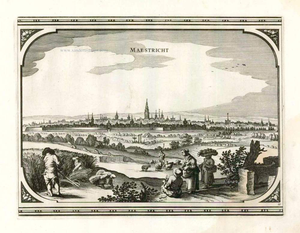
Maestricht. 1656
Maastricht, by Visscher N. - Schut P.H.
[Item number: 25378]

Hulst. 1656
Hulst, by Visscher N. - Schut P.H.
[Item number: 25460]
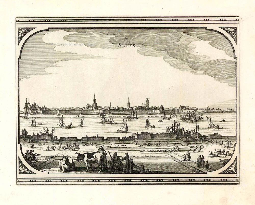
Sluys 1656
Sluis by Visscher N. - Schut P.H.
[Item number: 25461]

Grave. 1656
Grave, by Visscher N. - Schut P.H.
[Item number: 25467]

Kaerte van Bergen op Zoom. Steenbergen ende de Nieuwe fortificatien gemaeckt tot bevrijdinge van 't Landt van Ter Tolen in t jaar 1628. 1630
Bergen op Zoom, by Visscher C.J. - Janssonius J.
[Item number: 26344]

Kaerte van Bergen op Zoom. Steenbergen ende de Nieuwe fortificatien gemaeckt tot bevrijdinge van 't Landt van Ter Tolen in t jaar 1628. c. 1628-1650
Bergen op Zoom, by Visscher C.J.
[Item number: 31000]
Berghe op Zoom 1612
Bergen op Zoom by Ludovico Guicciardini.
[Item number: 32856]