
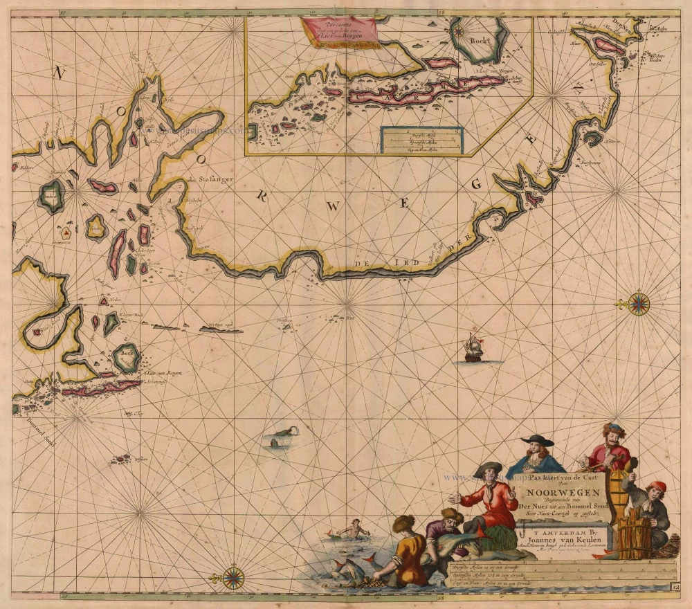
Antique map of Norway by Van Keulen Johannes 1697-1709
back
References: Koeman - Keu (42)
Pas-Kaert van de Cust van Noorwegen Beginnende van Der Neus tot aen Bommel Sond
SOLD
Item Number: 5393 Authenticity Guarantee
Category: Antique maps > Europe > Northern Europe
Sea chart of Norway, shows VVest Agder and Rogaland, oriented to the East
Inset chart: Pascaertie voor een gedeelte van 't Liet van Bergen.
Early state with the engraved number 12.
Copper engraving
Size: 51.5 x 60cm (20.1 x 23.4 inches)
Verso: Blank
Condition: Old coloured, slightly age-toned, some spotting.
Condition Rating: B
References: Koeman, Keu (163).
From: De Nieuwe Groote Lichtende Zee-Fakkel, ... Amsterdam, J. van Keulen, 1697-1709.