
Copenhagen, by Georg Braun and Frans Hogenberg. 1635
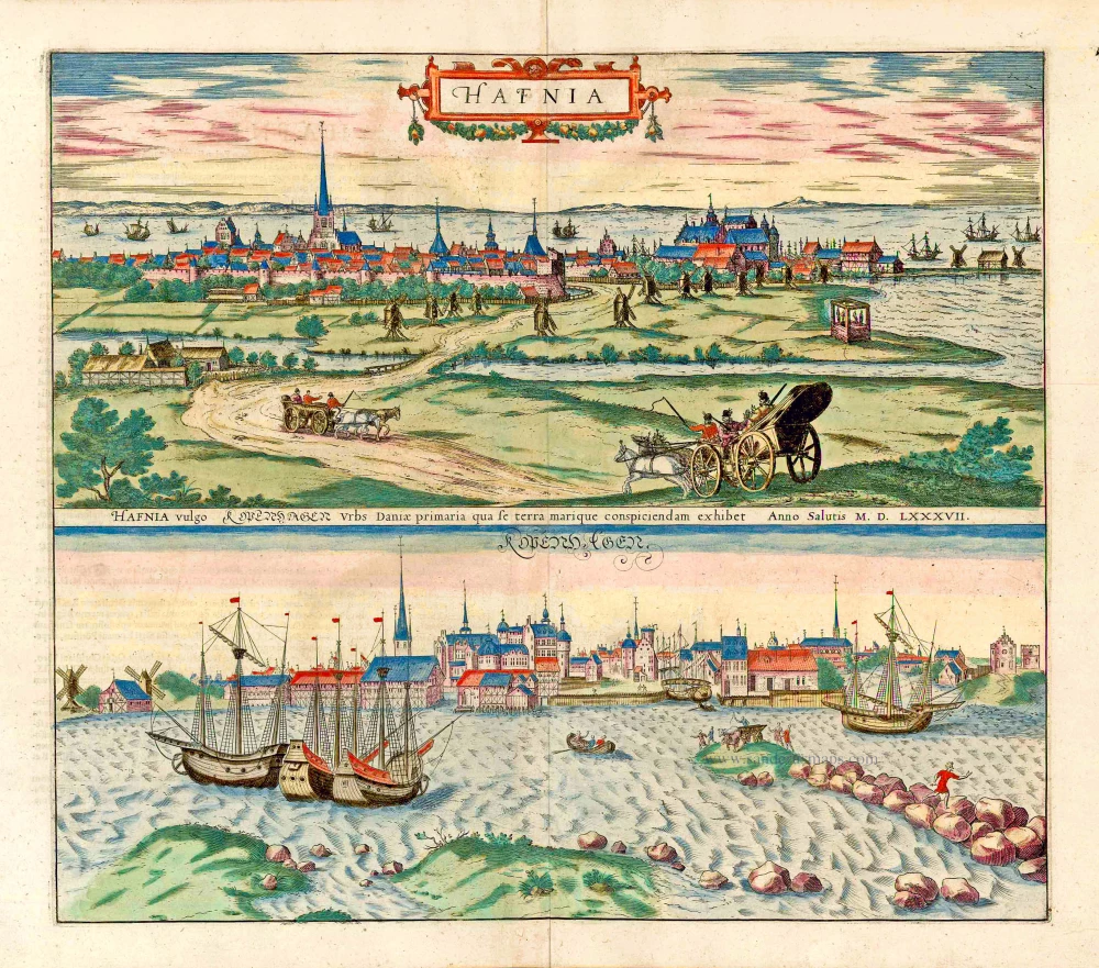
TRANSLATION OF CAPTION CENTRE: Hafnia, commonly known as Copenhagen, the capital of Denmark, a remarkable sight in land and water. In the year 1578. COMMENTARY BY BRAUN (on verso): "Copenhagen, a capital in Denmark, situated on the coast of Zealand, is built on a plain in such a way that the sea comes up to it from sunrise in winter to sunset in winter. Next to it is an island called Amager, which provides the city with an excellent and renowned harbour, for it stretches to the east for a distance of about four stadia, that is about half a mile, into the Baltic Sea and breaks the violence and tempestuousness of the sea with its shallows and its sandy bottom." The double view from the land and from the sea clearly depicts the city as a port and centre of trade. Copenhagen was granted a municipal charter in 1254. The two fixed points in the view towards the northeast - looking across the "merchants' harbour" to the province of Scania on the other side of the Øresund - are the church of Our Lady on the left, and the castle on the right, which was built on the site of the castle destroyed together with the city in 1369. In 1416 this port on the coast of Zealand became the residence of the Danish king. The conditions were thus ideal for the city's steady rise to become a commercial metropolis. Below, from the opposite direction, is a view from the sound of the ships lying at anchor, of the harbour and the city behind it with its counting houses. The offshore islands are an indication of the city's sheltered position. (Taschen)
Braun G. & Hogenberg F. and the Civitates Orbis Terrarum.
The Civitates Orbis Terrarum, also known as the 'Braun & Hogenberg', is a six-volume town atlas and the most excellent book of town views and plans ever published: 363 engravings, sometimes beautifully coloured. It was one of the best-selling works in the last quarter of the 16th century. Georg Braun, a skilled writer, wrote the text accompanying the plans and views on the verso. Many plates were engraved after the original drawings of a professional artist, Joris Hoefnagel (1542-1600). The first volume was published in Latin in 1572 and the sixth in 1617. Frans Hogenberg, a talented engraver, created the tables for volumes I through IV, and Simon van den Neuwel made those for volumes V and VI. Other contributors were cartographers Daniel Freese and Heinrich Rantzau, who provided valuable geographical information. Works by Jacob van Deventer, Sebastian Münster, and Johannes Stumpf were also used as references. Translations appeared in German and French, making the atlas accessible to a broader audience.
Since its original publication of volume 1 in 1572, the Civitates Orbis Terrarum has left an indelible mark on the history of cartography. Seven more editions followed the first volume in 1575, 1577, 1582, 1588, 1593, 1599, and 1612. Vol.2, initially released in 1575, saw subsequent editions in 1597 and 1612. The subsequent volumes, each a treasure trove of historical insights, graced the world in 1581, 1588, 1593, 1599, and 1606. The German translation of the first volume, a testament to its widespread appeal, debuted in 1574, followed by the French edition in 1575.
Several printers were involved: Theodor Graminaeus, Heinrich von Aich, Gottfried von Kempen, Johannis Sinniger, Bertram Buchholtz, and Peter von Brachel, all of whom worked in Cologne.
Georg Braun (1541-1622)
Georg Braun, the author of the text accompanying the plans and views in the Civitates Orbis Terrarum, was born in Cologne in 1541. After his studies in Cologne, he entered the Jesuit Order as a novice, indicating his commitment to learning and intellectual pursuits. In 1561, he obtained his bachelor's degree; in 1562, he received his Magister Artium, further demonstrating his academic achievements. Although he left the Jesuit Order, he continued his studies in theology, gaining a licentiate in theology. His theological background likely influenced the content and tone of the text in the Civitates Orbis Terrarum, adding a unique perspective to the work.
Frans Hogenberg (1535-1590)
Frans Hogenberg was a Flemish and German painter, engraver, and mapmaker. He was born in Mechelen as the son of Nicolaas Hogenberg.
By the end of the 1560s, Frans Hogenberg was employed upon Abraham Ortelius's Theatrum Orbis Terrarum, published in 1570; he is named an engraver of numerous maps. In 1568, he was banned from Antwerp by the Duke of Alva and travelled to London, where he stayed a few years before emigrating to Cologne. He immediately embarked on his two most important works, the Civitates, published in 1572 and the Geschichtsblätter, which appeared in several series from 1569 until about 1587.
Thanks to large-scale projects like the Geschichtsblätter and the Civitates, Hogenberg's social circumstances improved with each passing year. He died as a wealthy man in Cologne in 1590.
Hafnia vulgo Kopenhagen.
Item Number: 27650 Authenticity Guarantee
Category: Antique maps > Europe > Northern Europe
Old, antique print with two views of Copenhagen, by Georg Braun and Frans Hogenberg.
Date of the first edition: 1588
Date of this map: 1635
Copper engraving, printed on paper.
Size (not including margins): 36.5 x 42cm (14.2 x 16.3 inches)
Verso text: Latin
Condition: Original coloured, excellent.
Condition Rating: A+
References: Van der Krogt 4, #2069 State 1; Fauser, #6865; Taschen, Br. Hog., p.301.
From: Civitates Orbis Terrarum. Liber quartus Urbium Praecipuarum totius Mundi. Cologne, Petrus von Brachel, 1635. (Van der Krogt 4, 41:1.4)
TRANSLATION OF CAPTION CENTRE: Hafnia, commonly known as Copenhagen, the capital of Denmark, a remarkable sight in land and water. In the year 1578. COMMENTARY BY BRAUN (on verso): "Copenhagen, a capital in Denmark, situated on the coast of Zealand, is built on a plain in such a way that the sea comes up to it from sunrise in winter to sunset in winter. Next to it is an island called Amager, which provides the city with an excellent and renowned harbour, for it stretches to the east for a distance of about four stadia, that is about half a mile, into the Baltic Sea and breaks the violence and tempestuousness of the sea with its shallows and its sandy bottom." The double view from the land and from the sea clearly depicts the city as a port and centre of trade. Copenhagen was granted a municipal charter in 1254. The two fixed points in the view towards the northeast - looking across the "merchants' harbour" to the province of Scania on the other side of the Øresund - are the church of Our Lady on the left, and the castle on the right, which was built on the site of the castle destroyed together with the city in 1369. In 1416 this port on the coast of Zealand became the residence of the Danish king. The conditions were thus ideal for the city's steady rise to become a commercial metropolis. Below, from the opposite direction, is a view from the sound of the ships lying at anchor, of the harbour and the city behind it with its counting houses. The offshore islands are an indication of the city's sheltered position. (Taschen)
Braun G. & Hogenberg F. and the Civitates Orbis Terrarum.
The Civitates Orbis Terrarum, also known as the 'Braun & Hogenberg', is a six-volume town atlas and the most excellent book of town views and plans ever published: 363 engravings, sometimes beautifully coloured. It was one of the best-selling works in the last quarter of the 16th century. Georg Braun, a skilled writer, wrote the text accompanying the plans and views on the verso. Many plates were engraved after the original drawings of a professional artist, Joris Hoefnagel (1542-1600). The first volume was published in Latin in 1572 and the sixth in 1617. Frans Hogenberg, a talented engraver, created the tables for volumes I through IV, and Simon van den Neuwel made those for volumes V and VI. Other contributors were cartographers Daniel Freese and Heinrich Rantzau, who provided valuable geographical information. Works by Jacob van Deventer, Sebastian Münster, and Johannes Stumpf were also used as references. Translations appeared in German and French, making the atlas accessible to a broader audience.
Since its original publication of volume 1 in 1572, the Civitates Orbis Terrarum has left an indelible mark on the history of cartography. Seven more editions followed the first volume in 1575, 1577, 1582, 1588, 1593, 1599, and 1612. Vol.2, initially released in 1575, saw subsequent editions in 1597 and 1612. The subsequent volumes, each a treasure trove of historical insights, graced the world in 1581, 1588, 1593, 1599, and 1606. The German translation of the first volume, a testament to its widespread appeal, debuted in 1574, followed by the French edition in 1575.
Several printers were involved: Theodor Graminaeus, Heinrich von Aich, Gottfried von Kempen, Johannis Sinniger, Bertram Buchholtz, and Peter von Brachel, all of whom worked in Cologne.
Georg Braun (1541-1622)
Georg Braun, the author of the text accompanying the plans and views in the Civitates Orbis Terrarum, was born in Cologne in 1541. After his studies in Cologne, he entered the Jesuit Order as a novice, indicating his commitment to learning and intellectual pursuits. In 1561, he obtained his bachelor's degree; in 1562, he received his Magister Artium, further demonstrating his academic achievements. Although he left the Jesuit Order, he continued his studies in theology, gaining a licentiate in theology. His theological background likely influenced the content and tone of the text in the Civitates Orbis Terrarum, adding a unique perspective to the work.
Frans Hogenberg (1535-1590)
Frans Hogenberg was a Flemish and German painter, engraver, and mapmaker. He was born in Mechelen as the son of Nicolaas Hogenberg.
By the end of the 1560s, Frans Hogenberg was employed upon Abraham Ortelius's Theatrum Orbis Terrarum, published in 1570; he is named an engraver of numerous maps. In 1568, he was banned from Antwerp by the Duke of Alva and travelled to London, where he stayed a few years before emigrating to Cologne. He immediately embarked on his two most important works, the Civitates, published in 1572 and the Geschichtsblätter, which appeared in several series from 1569 until about 1587.
Thanks to large-scale projects like the Geschichtsblätter and the Civitates, Hogenberg's social circumstances improved with each passing year. He died as a wealthy man in Cologne in 1590.
Related items

Carte de l'Etat du Royaume de Dannemarck et diverses observations pour conduire à l'Intelligence de l'Histoire et du Gouvernement de ce Royaume. 1714
Denmark - Copenhagen, by Zacharias Châtelain.
[Item number: 21339]
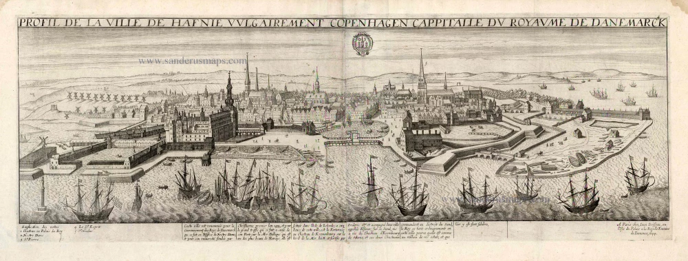
Profil de la Ville de Hafnie vulgairement Copenhagen Cappitalle du Royaume de Danemarck. 1648
Copenhagen, by J. Boisseau.
[Item number: 25597]
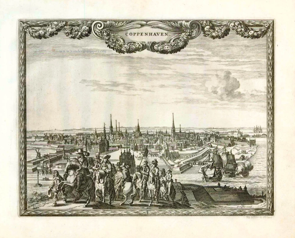
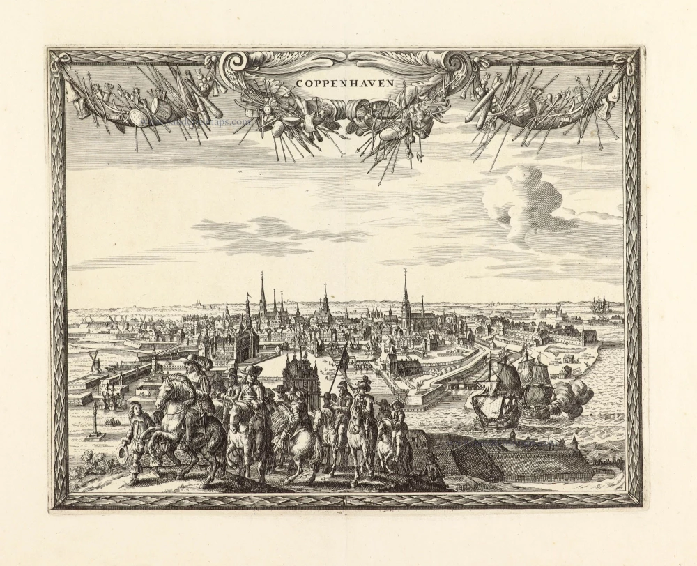
Coppenhaven. 1658/60
Copenhagen, by N. Visscher & P.H. Schut.
[Item number: 26633]
Hafnia vulgo Kopenhagen. 1590
Copenhagen, by Georg Braun and Frans Hogenberg.
[Item number: 26783]
Unrecorded variant of Allard's view of Copenhagen
Coppenhaven. 1673
View of Copenhagen by Carel Allard.
[Item number: 30572]