
Finland, Sweden, Latvia, by Valk G. & L. - Ottens R. & I. c. 1745

The Valk Family
Gerard Valk (Valck) (1652-1726) was Amsterdam's publisher, engraver, art seller, and globemaker. He was trained under Abraham Bloteling, later becoming his assistant. The two moved to London, where Valk worked with various map and print sellers. He married Abraham's sister, Maria Bloteling, in London around 1673; in that city, his son and successor, Leonard, was born in 1675.
Not long after, Bloteling and Valk returned to Amsterdam, where Gerard Valk was registered as a burgher on December 8, 1679.
Around 1680 he began working with the German engraver Petrus Schenk as an engraver, publisher, map and print-sellers. They acquired the plates for the Janssonius Novus Atlas and Sanson's maps. Although they never shared premises, they worked closely together in the publications of editions of these works. Valk and his son Leonard are best known for their globemaking. In addition to globes newly compiled from the latest geographical and astronomical information, the Valk's published theoretical works on astronomy and globes.
In 1710, the family tie between the two partners, Valk and Schenk, became even closer when Gerard's son Leonard Valk (1675-1746) married Maria Schenk (1688-1770), Petrus' daughter.
After the death of Gerard in 1726, the business continued in the hands of his son Leonard and Gerard's widow Maria until she died in 1729, and then by Leonard until he died in 1746.
The Ottens Family
Joachim Ottens (1663-1719), was a copper-engraver and the founder of the print- and mapsellers’ firm in Amsterdam. In 1710 he became a member of the art- and printsellers guild. After he died in 1719, his widow and the sons continued the business under the name “In de Wereldcaert” (In the world map). On the whole, the Ottens’s financial position was rather weak, and the stock was not very large.
In a notary contract dated 20 October 1726, the partnership between the two brothers, Reinier and Josua, was stipulated. Despite separate shops, the brothers’ partnership continued until the death of Renier in 1750.
After Joshua died in 1765, his widow continued the firm, together with her son, Renier II, until c. 1780.
The firm flourished mainly between 1719 and c. 1750. In that period, they advertised at various times the publication of new maps.
Ottens’s greatest fame comes from the voluminous atlases assembled to order. A small number of these so-called ‘Atlas factice’, splendid copies with gorgeous illumination, have survived. These collector’s copies are known to exist in 2, 6, 8, 11, and even 15 volumes. Ottens also published atlases in one volume, with a varying number of maps, pocket atlases, collections of military plans, and Renard’s atlas de la navigation.
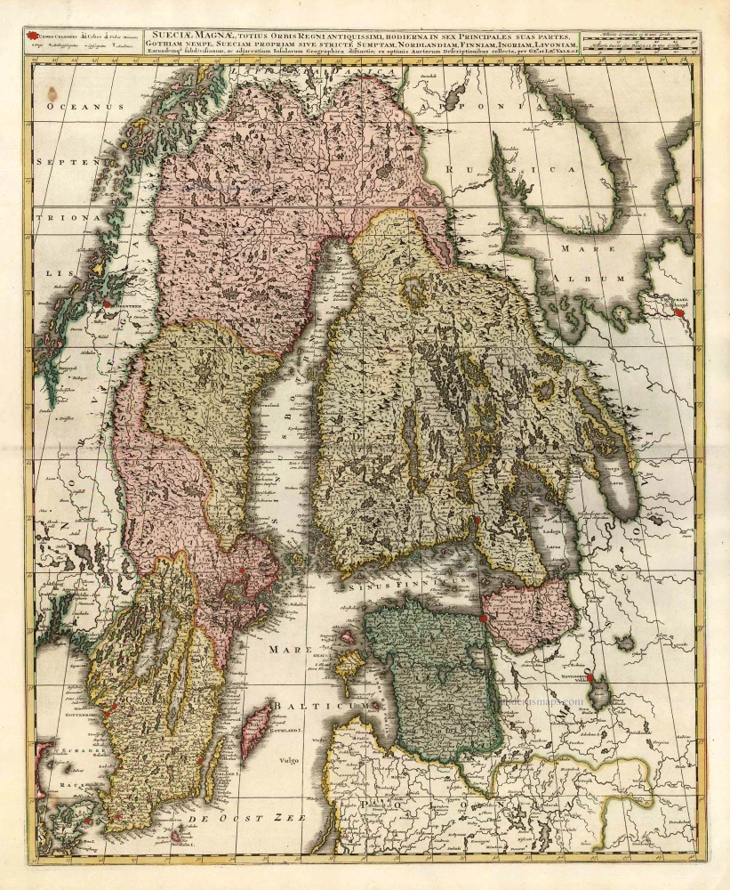
Sueciae Magnae, totius Orbis Regniantiquissimi, hodierna in sex Principales suas partes, Gothiam nempe, Sueciam propriam sive stricté Sumptam, Nordlandiam, Finniam, Ingriam, Livoniam, ...
Item Number: 25846 Authenticity Guarantee
Category: Antique maps > Europe > Northern Europe
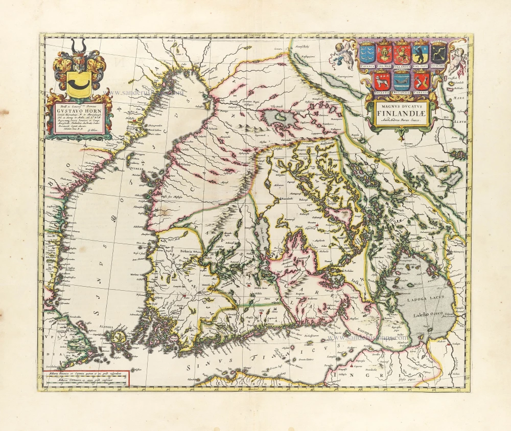
Old, antique map of Finland, Sweden, Latvia by G. & L. Valck.
Cartographer: G. & L. Valck
Copper engraving, printed on paper.
Size (not including margins): 59 x 48.5cm (23 x 18.9 inches)
Verso: Blank
Condition: Original coloured, excellent.
Condition Rating: A+
From: Atlas sive Geographia compendiosa in qua Orbis Terrarum pacis attamen novissimis Tabulis Ostenditur. - Atlas Nouveau, contenant toutes les partis du monde ... R. & I. Ottens, c. 1745. (Composite Atlas).
The Valk Family
Gerard Valk (Valck) (1652-1726) was Amsterdam's publisher, engraver, art seller, and globemaker. He was trained under Abraham Bloteling, later becoming his assistant. The two moved to London, where Valk worked with various map and print sellers. He married Abraham's sister, Maria Bloteling, in London around 1673; in that city, his son and successor, Leonard, was born in 1675.
Not long after, Bloteling and Valk returned to Amsterdam, where Gerard Valk was registered as a burgher on December 8, 1679.
Around 1680 he began working with the German engraver Petrus Schenk as an engraver, publisher, map and print-sellers. They acquired the plates for the Janssonius Novus Atlas and Sanson's maps. Although they never shared premises, they worked closely together in the publications of editions of these works. Valk and his son Leonard are best known for their globemaking. In addition to globes newly compiled from the latest geographical and astronomical information, the Valk's published theoretical works on astronomy and globes.
In 1710, the family tie between the two partners, Valk and Schenk, became even closer when Gerard's son Leonard Valk (1675-1746) married Maria Schenk (1688-1770), Petrus' daughter.
After the death of Gerard in 1726, the business continued in the hands of his son Leonard and Gerard's widow Maria until she died in 1729, and then by Leonard until he died in 1746.
The Ottens Family
Joachim Ottens (1663-1719), was a copper-engraver and the founder of the print- and mapsellers’ firm in Amsterdam. In 1710 he became a member of the art- and printsellers guild. After he died in 1719, his widow and the sons continued the business under the name “In de Wereldcaert” (In the world map). On the whole, the Ottens’s financial position was rather weak, and the stock was not very large.
In a notary contract dated 20 October 1726, the partnership between the two brothers, Reinier and Josua, was stipulated. Despite separate shops, the brothers’ partnership continued until the death of Renier in 1750.
After Joshua died in 1765, his widow continued the firm, together with her son, Renier II, until c. 1780.
The firm flourished mainly between 1719 and c. 1750. In that period, they advertised at various times the publication of new maps.
Ottens’s greatest fame comes from the voluminous atlases assembled to order. A small number of these so-called ‘Atlas factice’, splendid copies with gorgeous illumination, have survived. These collector’s copies are known to exist in 2, 6, 8, 11, and even 15 volumes. Ottens also published atlases in one volume, with a varying number of maps, pocket atlases, collections of military plans, and Renard’s atlas de la navigation.
Related items
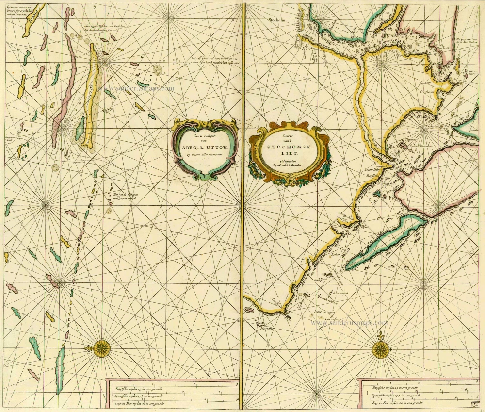
Caarte van 't gat van Abbo, ofte Uttoy. [on sheet with] Caarte van 't Stochomse Liet. 1686
Sea chart of Finland - Sweden, by Doncker H.
[Item number: 14593]
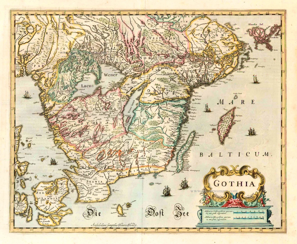
Gothia. 1641
Götaland, by Henricus Hondius.
[Item number: 26260]
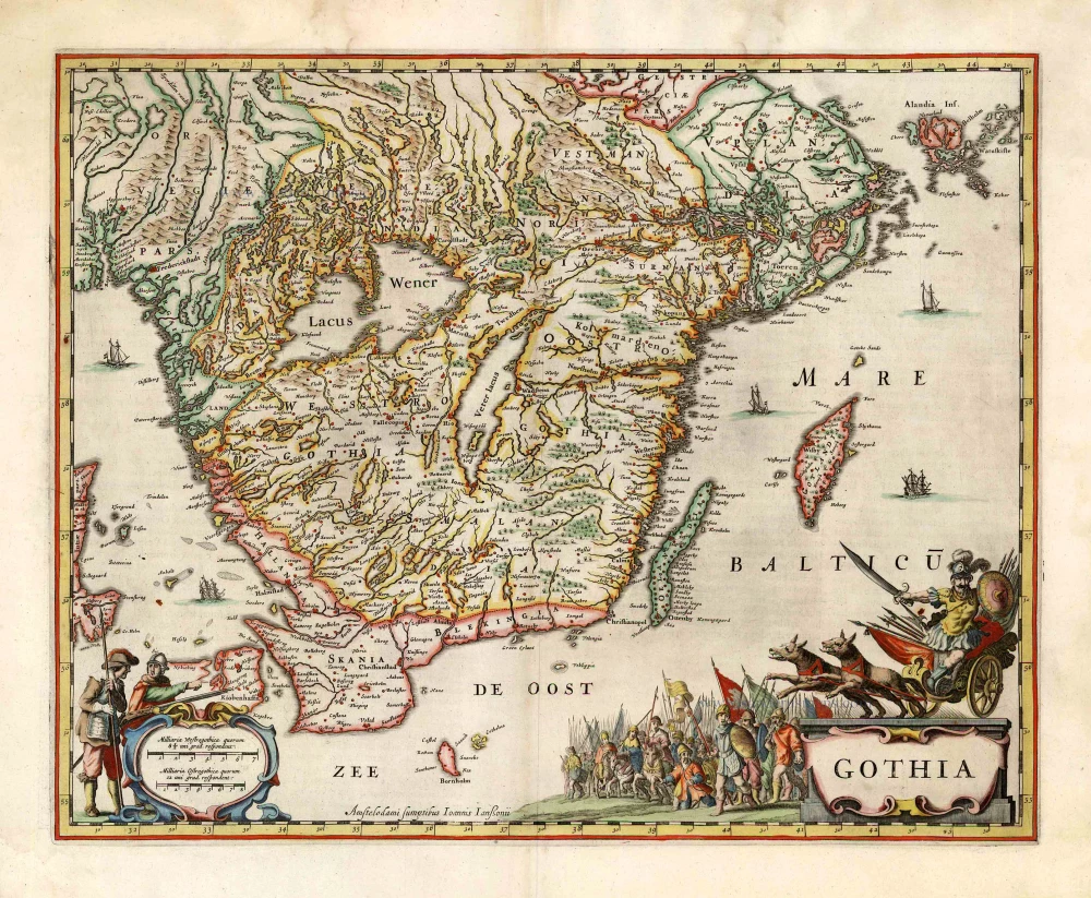
Gothia. 1666
Götaland, by Johannes Janssonius.
[Item number: 26744]

Regni Sueciae Tabula Generalis, divisa in Sueciae, Gotiae Regna Finniae Ducatum Lapponiam, Livoniam Nordlandiam Ingriam et in omnes subiacentes provincias. c. 1715
Finland & Sweden by Frederik de Wit, published by Covens & Mortier.
[Item number: 28267]
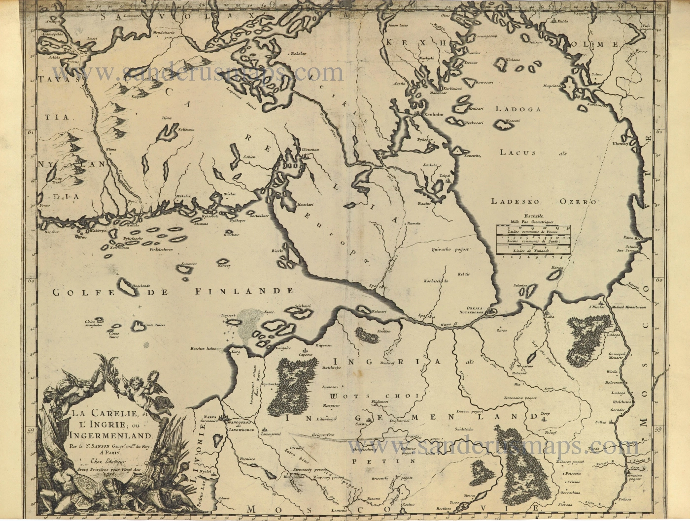
La Carelie, et l'Ingrie, ou Ingermenland. 1703
Finland and Estonia by Guillaume Sanson.
[Item number: 28500]
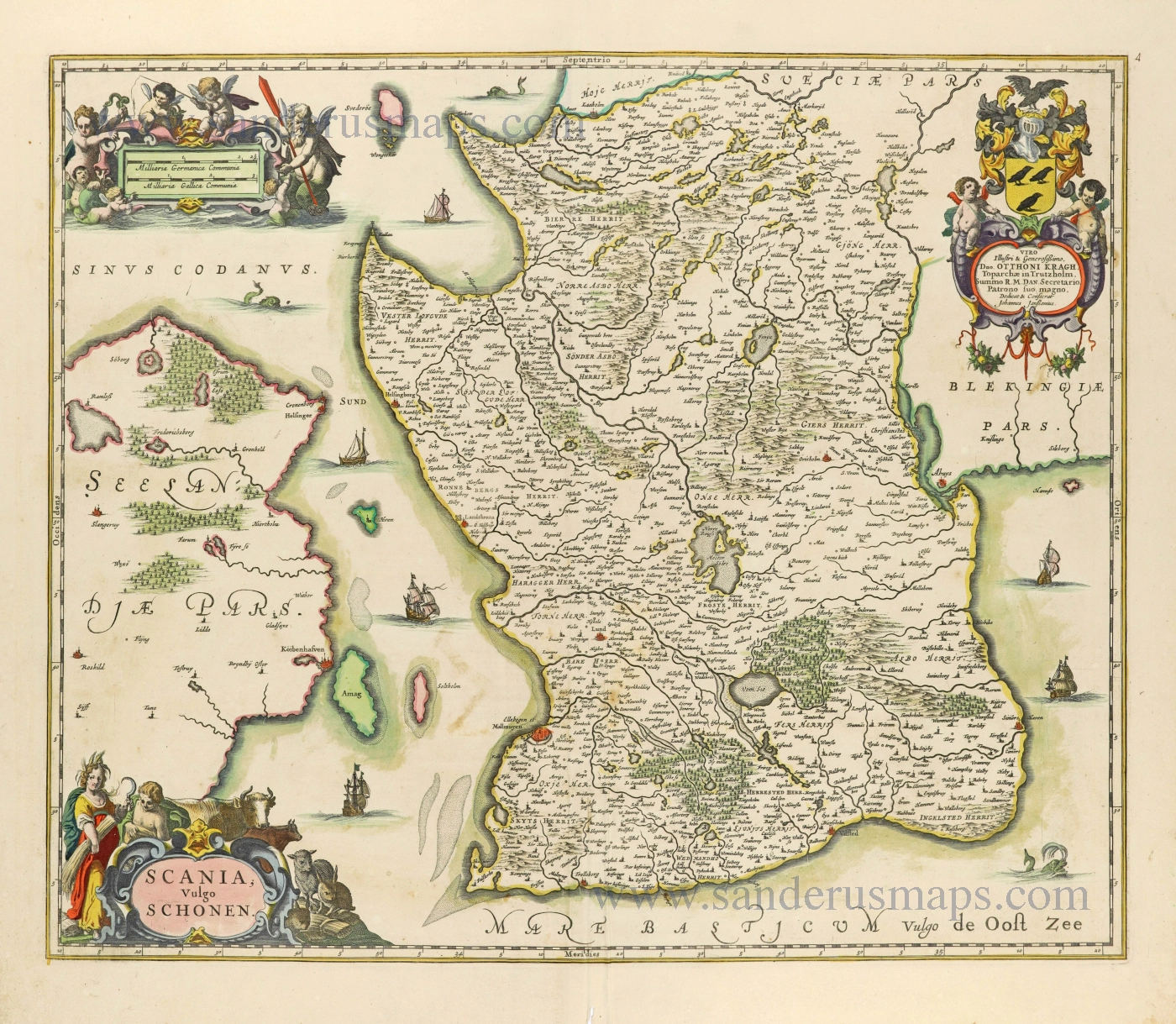
Scania, Vulgo Schonen. c. 1678
Scania (Skåne) by Johannes Janssonius.
[Item number: 28520]
First printed map of Finland.
Magnus Ducatus Finlandiae. 1659
Finland by Joan Blaeu.
[Item number: 30242]