
Scandinavia by Martin Waldseemüller 1513
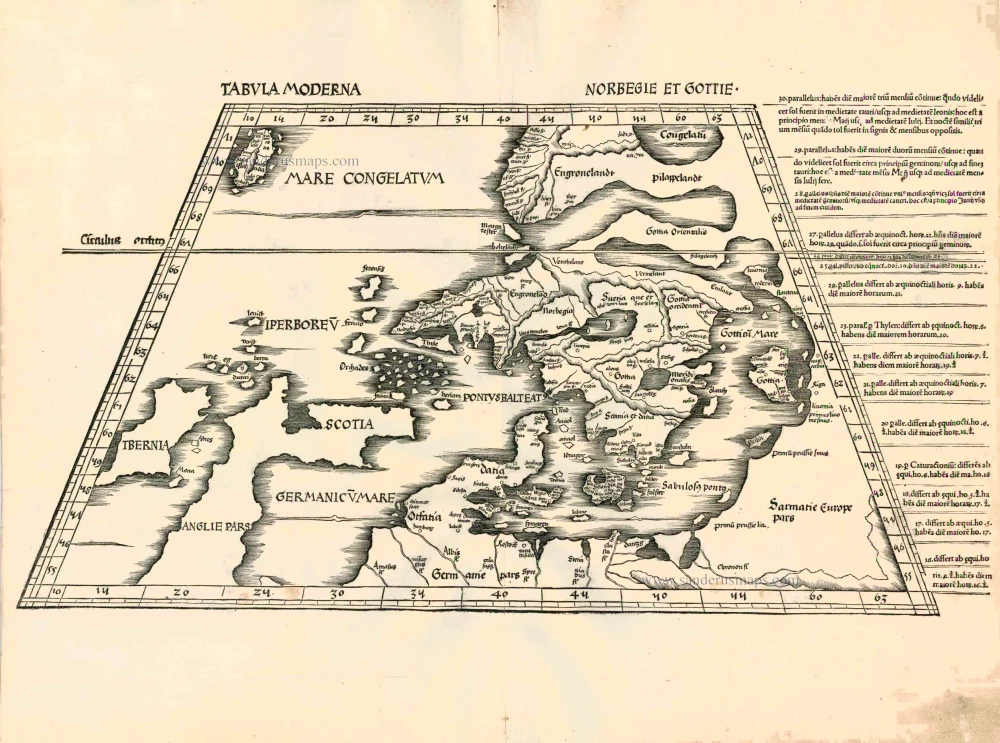
This map, which is vital to studying the cartography of Scandinavia, presents some difficulties both as to its origin and contents. Long years of intensive scientific research have solved most of the problems connected with its origin. The Dane Claudius Clavus, born in 1388 and also known as Clausson, Cymbricus, Svart or Niger, is considered the real father of this representation of Norden. Letters tell us that he stayed in Rome in 1423 or 1424, where he had contacts with people from learned circles. On these occasions, there must have been some discussion about the imprecise representation of Norden on the medieval Ptolemy maps. As an expert on Scandinavia, Svart attempted to improve Ptolemaic knowledge: he drew up a list of coordinates and prepared probably two maps. Of the first, very primitive map ascribed to him, only one manuscript copy (1427) exists in Nancy in France. The later map contained much more detail and was distributed on a larger scale. It was probably prepared between 1425 and 1439. In addition to his knowledge, Clavus also assimilated information from Italian sea charts and other world maps onto this map. Copies of the map have been found in manuscripts from 1466 onwards. They are the work of Nicolaus Germanus (also called Donis), a Benedictine monk of Reichenbach in South Germany, humanist, cartographer and printer. He printed the Ulm editions of Ptolemy's Geography in 1482 and 1486 and added five new maps. One of those new maps was this Tabula Moderna Norbegie et Gottie. Before being printed in this version, it had already known a complex previous history. Greenland is situated on the upper right side of the map's oldest version. In the south-west it almost touches the top of the north coast and the Hebrides and, from there, it continues in a north-easterly direction in the shape of a vast peninsula, connected to Scandinavia by a spit of land in the north (Ultimus terminus Terre habitabilis or Pilappelanth). On some copies, Iceland is drawn halfway between Norway and Greenland, whereas on other manuscripts, only the island Thule or Belandia appears off the Norwegian south coast. The problem was solved ineffectively by shifting Greenland northeast of the Scandinavian Peninsula (Engronelandt, linked to Pilappelandt) and partly filling the vacant space with a still unrecognizable Iceland. This version can be found on a manuscript preserved in Brussels and on all printed copies of the maps. The different manuscripts and editions can be further distinguished by subtle variations in the configuration, primarily in the spelling of the place names. (Van Mingroot & Van Ermen)
Tabula Moderna Norbegie et Gottie
Item Number: 924 Authenticity Guarantee
Category: Antique maps > Europe > Northern Europe
Old, antique map of Scandinavia by Waldseemüller Martin.
Date of the first edition: 1513
Date of this map: 1513
Woodcut
Size: 31.5 x 57cm (12.3 x 22.2 inches)
Verso: Blank
Condition: A number of wormholes filled.
Condition Rating: B
References: Ginsberg (Scandinavia), 5; Karrow, 80/39; Van Mingroot & Van Ermen, 4.
From: Claudii Ptolemei viri Alexandrini Mathematice discipline Philosophi dictissimi Geographiae opus novissima . . . Strassburg, J. Schott, 1513.
The difference with the 1520 edition is the letterpress used in the margins.
This map, which is vital to studying the cartography of Scandinavia, presents some difficulties both as to its origin and contents. Long years of intensive scientific research have solved most of the problems connected with its origin. The Dane Claudius Clavus, born in 1388 and also known as Clausson, Cymbricus, Svart or Niger, is considered the real father of this representation of Norden. Letters tell us that he stayed in Rome in 1423 or 1424, where he had contacts with people from learned circles. On these occasions, there must have been some discussion about the imprecise representation of Norden on the medieval Ptolemy maps. As an expert on Scandinavia, Svart attempted to improve Ptolemaic knowledge: he drew up a list of coordinates and prepared probably two maps. Of the first, very primitive map ascribed to him, only one manuscript copy (1427) exists in Nancy in France. The later map contained much more detail and was distributed on a larger scale. It was probably prepared between 1425 and 1439. In addition to his knowledge, Clavus also assimilated information from Italian sea charts and other world maps onto this map. Copies of the map have been found in manuscripts from 1466 onwards. They are the work of Nicolaus Germanus (also called Donis), a Benedictine monk of Reichenbach in South Germany, humanist, cartographer and printer. He printed the Ulm editions of Ptolemy's Geography in 1482 and 1486 and added five new maps. One of those new maps was this Tabula Moderna Norbegie et Gottie. Before being printed in this version, it had already known a complex previous history. Greenland is situated on the upper right side of the map's oldest version. In the south-west it almost touches the top of the north coast and the Hebrides and, from there, it continues in a north-easterly direction in the shape of a vast peninsula, connected to Scandinavia by a spit of land in the north (Ultimus terminus Terre habitabilis or Pilappelanth). On some copies, Iceland is drawn halfway between Norway and Greenland, whereas on other manuscripts, only the island Thule or Belandia appears off the Norwegian south coast. The problem was solved ineffectively by shifting Greenland northeast of the Scandinavian Peninsula (Engronelandt, linked to Pilappelandt) and partly filling the vacant space with a still unrecognizable Iceland. This version can be found on a manuscript preserved in Brussels and on all printed copies of the maps. The different manuscripts and editions can be further distinguished by subtle variations in the configuration, primarily in the spelling of the place names. (Van Mingroot & Van Ermen)
Related items
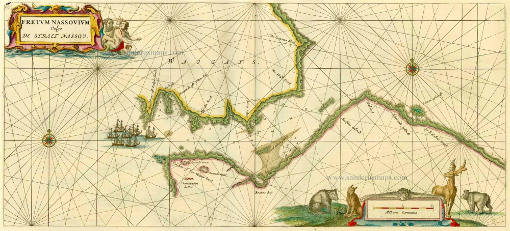
Fretum Nassovium Vulgo De Straet Nassou. 1664-65
Russia - Nassau Strait, by J. Blaeu.
[Item number: 14225]
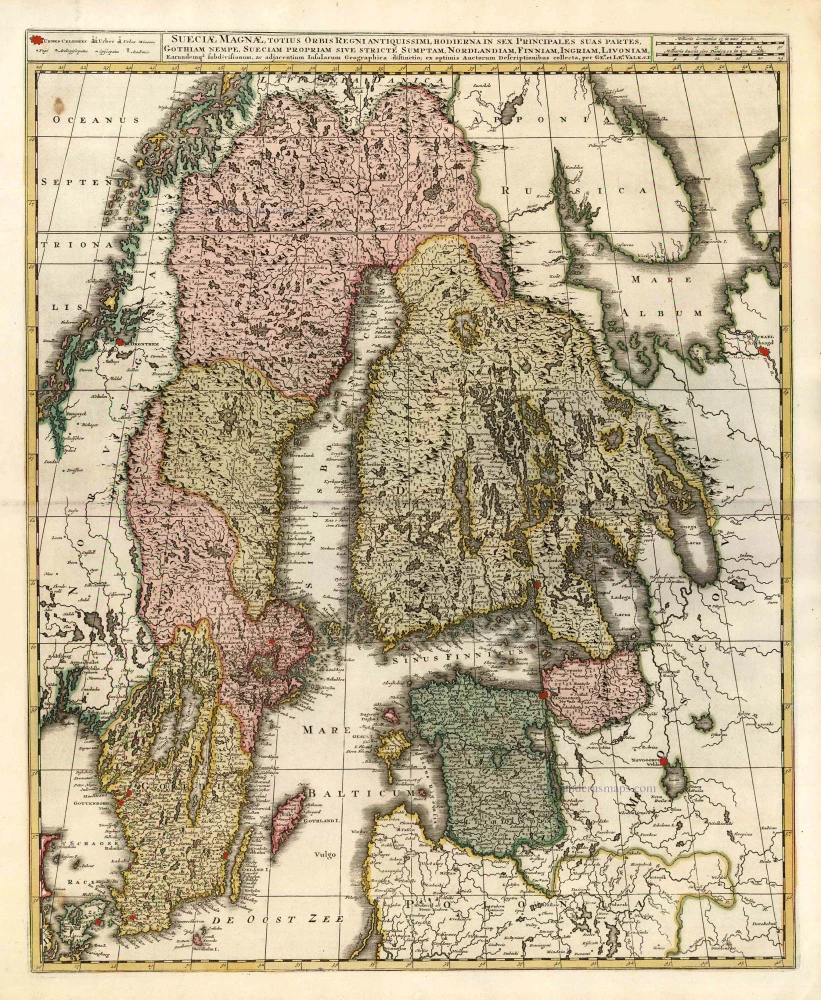
Sueciae Magnae, totius Orbis Regniantiquissimi, hodierna in sex Principales suas partes, Gothiam nempe, Sueciam propriam sive stricté Sumptam, Nordlandiam, Finniam, Ingriam, Livoniam, ... c. 1745
Finland, Sweden, Latvia, by Valk G. & L. - Ottens R. & I.
[Item number: 25846]
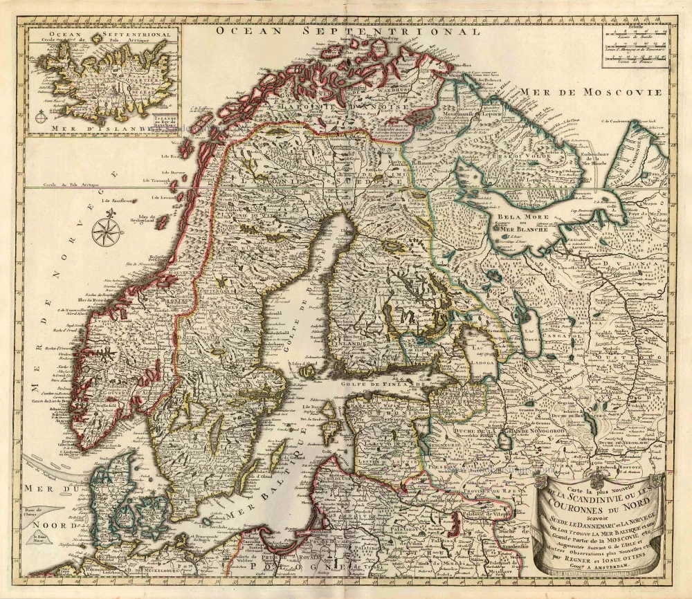
Carte la Plus Nouvelle de la Scandinivie ou les Couronnes du Nord Scavoir La Suede le Dannemarc et La Norvege Ou Lon Trouve La Mer Baltique et une Grande Partie de la Moscovie etc. 1730-45
Scandinavia par R. & I. Ottens.
[Item number: 25858]
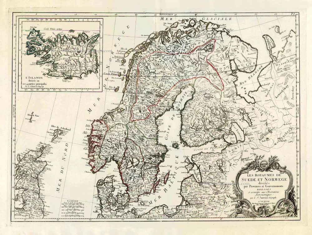
Les Royaumes de Suede et Norwege Divisés par Provinces et Gouvernements. 1776-79
Scandinavia, by Francesco Santini.
[Item number: 26964]
Rare and important map.
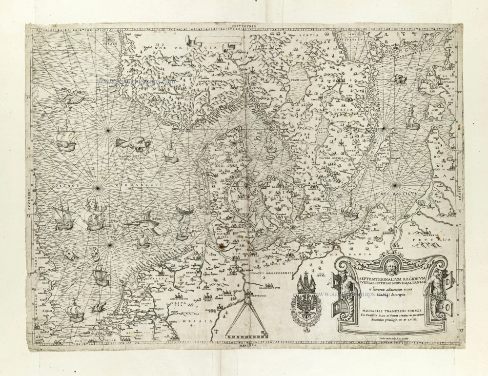
Septemtrionalium Regionum Svetiae Gothiae Norvegiae Daniae et terrarum adiacentium recens exactaq[ue] descriptio. 1558
Scandinavia, by Michele Tramezini.
[Item number: 27045]
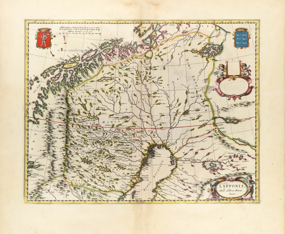
Lapponia. 1659
Lappland by Joan Blaeu.
[Item number: 30252]