
Antique map of Andalusia by Waghenaer L.J. 1586
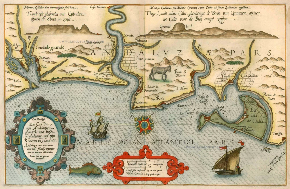
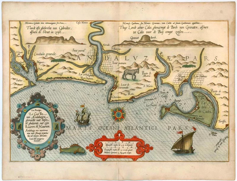
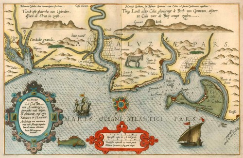

Zee Custen van Andaluzien ghemaeckt naet wesen en ghedaente, met zijn Rivieren en Havenen. / Andaluziae orae maritimae ...
Item Number: 5502 Authenticity Guarantee
Category: Antique maps > Europe > Spain and Portugal
Sea chart of Andalusia, oriented to the Northeast
Date: 1586
Copper engraving
Size: 33 x 51.5cm (12.9 x 20 inches)
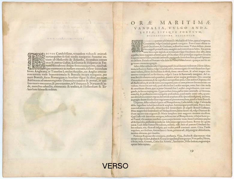
Verso text: Latin
Condition: Old coloured, refreshed.
Condition Rating: A
References: Koeman [19b].
From: Speculum nauticum super navigatione maris Occidentalis confectum, continens omnes oras maritimas Galliae, Hispaniae et praecipuarum partiu Angliae, ... - Spieghel der Zeevaerdt, vande navigatie der Westersche zee Innehoudende alle de Custen van Franckrijck, Spaignen, en t' principaelste deel van Engelandt, ... Lugduni Batavorum (Leiden), Excudebat typis Plantiniannis Franciscus Raphelengius, pro Luca Ioannis Aurigario. MDLXXXVI (1586). (Koeman IV, Wag5A)
This work holds a unique place among the printed rutters of the sea in the 16th century because it is the first printed rutter with charts. Further, it outranks any other rutter of its period, with its splendid presentation of charts and text; as such it stood as a model for the folio-size pilot-guides with charts in the 17th century.
Thanks to the unparalleled skill of the engravers, Baptist and Johannes van Deutecom, the original ms. charts by Waghenaer were transformed into the most beautiful maps of the period. The composition and the adornment have greatly contributed to the splendour of what originally were simple sketch-charts; the typography of the Plantijn printing house at Leiden further added to the quality of the book.
In its concept, the text follows the traditional composition of the 16th century pilot-guides but the charts form a new element. One remarkable feature is the coastal profiles projected onto the land along the coasts, further elucidated by profiles drawn in the open areas of the charts. There is no evidence that Waghenaer copied his charts from existing sources. Some of them must have been based on his personal observations and for the whole of the work he must have relied on his own rich experience in practical navigation. (Koeman)