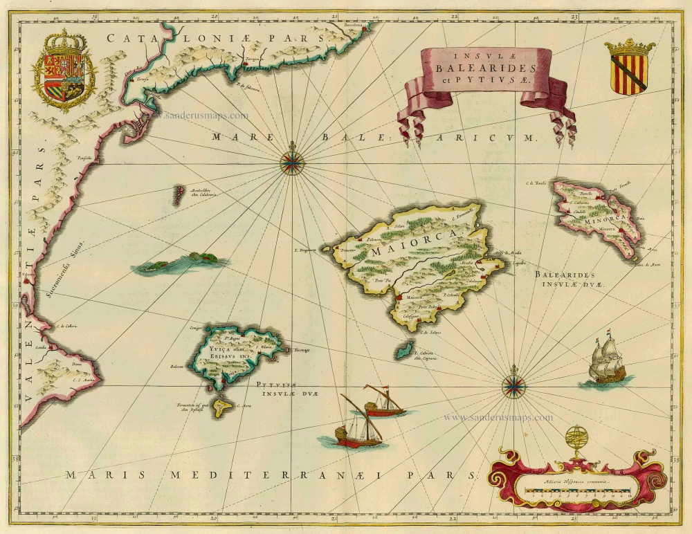
Antique map of the Balearic Islands by W. Blaeu. 1664
back
References: Van der Krogt 2 - 6280:2
Insulae Balearides et Pytiusae
SOLD
Item Number: 9574 Authenticity Guarantee
Category: Antique maps > Europe > Spain and Portugal
Map of Balearic Islands, oriented to the North
Date of this print: 1664
Date of the first edition: 1634
Copper engraving
Size: 38.5 x 50cm (14.9 x 19.4 inches)
Verso text: Dutch
Condition: Old coloured, excellent.
Condition Rating: A
References: Van der Krogt 2, 6280:2.
From: J. Blaeus Grooten Atlas, oft Werelt- Beschryving, in welcke 't Aerdryck, de Zee, en Hemel, wort vertoont en beschreven. Amsterdam, J. Blaeu, 1664. (Van der Krogt 2, 621)

