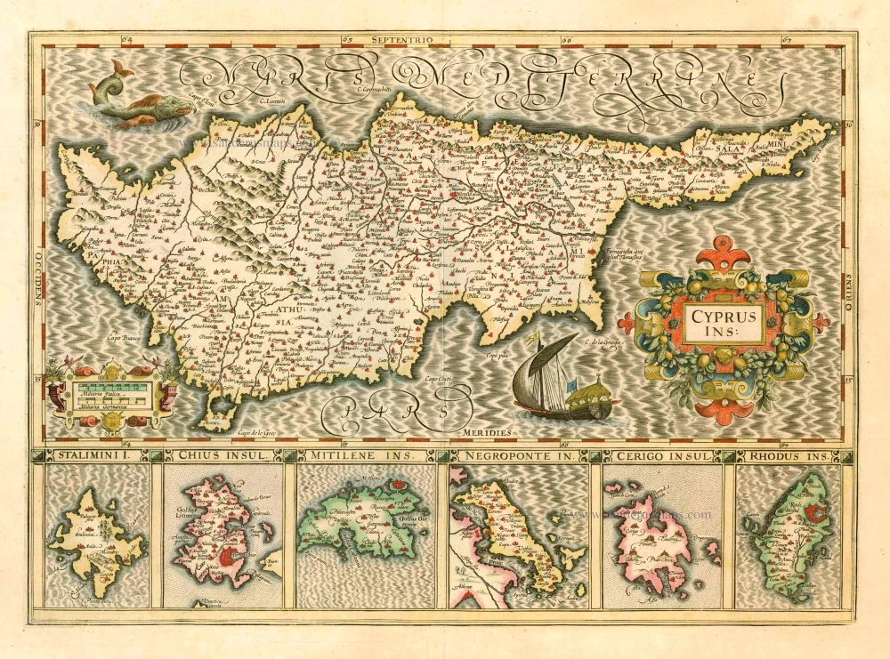
Antique map of Cyprus by J. Hondius 1619
Cyprus Ins:
Item Number: 8448 Authenticity Guarantee
Category: Antique maps > Mediterranean Sea
Antique map of Cyprus by J. Hondius, with below six inset maps of Greek islands: Stalimini, Chios, Mitilene, Negroponte, Cerigo, Rhodes.
Date of the first edition: 1606
Date of this map: 1619
Copper engraving
Size: 35 x 49cm (13.7 x 19.1 inches)
Verso text: French
Condition: Contemporary old coloured, excellent.
Condition Rating: A
References: Van der Krogt 1, 8130:1A; Zacharakis, 2211/1451; Ioannou, 45; Stylianou, 98.
From: Gerardi Mercatoris - Atlas sive Cosmographicae Meditationes de Fabrica Mundi et Fabricati Figura. Amsterdam, J. Hondius, 1619. (Van der Krogt 1, 113)

