
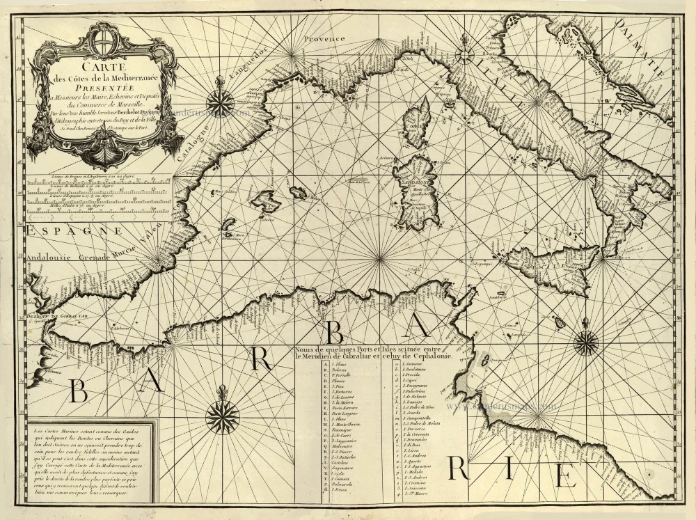
Western Mediterranean Sea by François Berthelot. c. 1700
Scarce French chart of the Mediterranean Sea.
This scarce Portolan chart is part of a series of four that Berthelot published in 1693. Five editions of these charts appeared from 1693 to 1759.
According to Bifolco, it's unclear whether this map is an original work by Berthelot (or an authorised reprint sold by Benoist) or a pirate edition.Carte des Côtes de la Mediterranée.
Item Number: 28357 Authenticity Guarantee
Category: Antique maps > Mediterranean Sea
Old, antique sea chart of the Western Mediterranean Sea, by François Berthelot.
Title: Carte des Côtes de la Mediterranée.
Presentée a Messieurs les Maire, Echevins et Deputés du Commerce de Marseille.
Par leur tres humble Serviteur Berthelot Professeur d'Hidrographie entretenu du Roy et de la Ville.
Se vend Chez Benoist Md. d'Estampe sur le Port.
Date of the first edition: 1693.
Date of this map: c. 1700.
Copper engraving, printed on paper.
Size (not including margins): 550 x 740mm (21.65 x 29.13 inches).
Verso: Blank.
Condition: Excellent.
References: Bifolco, Mare Nostrum, Tav. 118
From: Separate publication.
Scarce French chart of the Mediterranean Sea.
This scarce Portolan chart is part of a series of four that Berthelot published in 1693. Five editions of these charts appeared from 1693 to 1759.
According to Bifolco, it's unclear whether this map is an original work by Berthelot (or an authorised reprint sold by Benoist) or a pirate edition.Related items
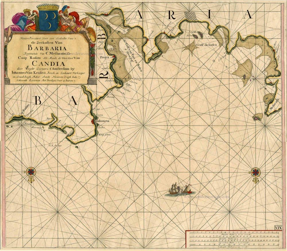
Nieuwe Pascaart voor een Gedeelte van de Zeekusten van Barbaria Beginnende van C. Mesurata tot Caap Rusato Als mede de West-kust van Candia. 1697-1709
Sea chart of the coasts of Morocco, by Johannes Van Keulen.
[Item number: 6506]
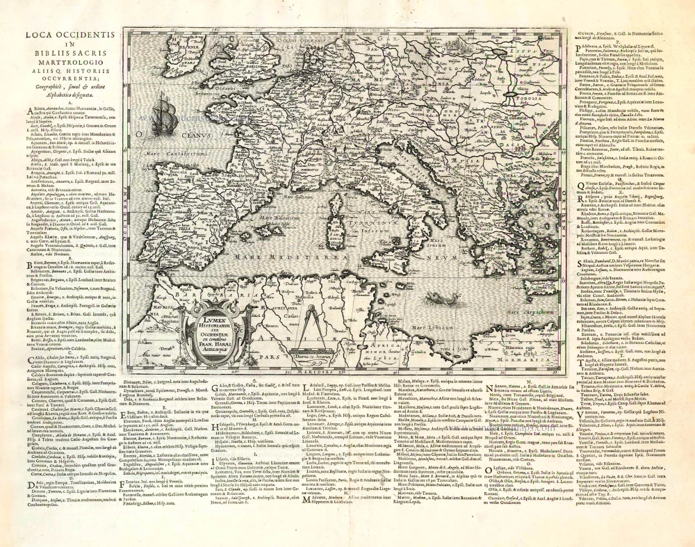
Lumen Historiarum per Occidentem. . . . 1624
Europe - Western Mediterranean Sea, by A. Ortelius.
[Item number: 26573]
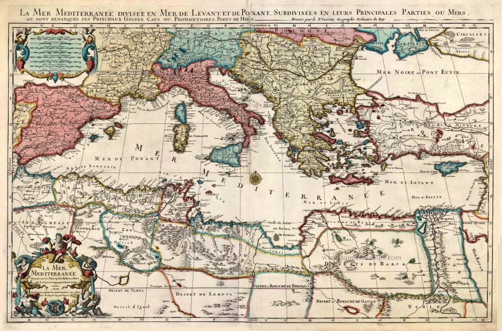
La Mer Mediterranee Divisee en ses Principales Parties ou Mers. c. 1705
Mediterranean Sea by Pieter (Pierre) Mortier
[Item number: 27767]