Old, antique map of the North Atlantic Ocean by A. Ortelius 1601
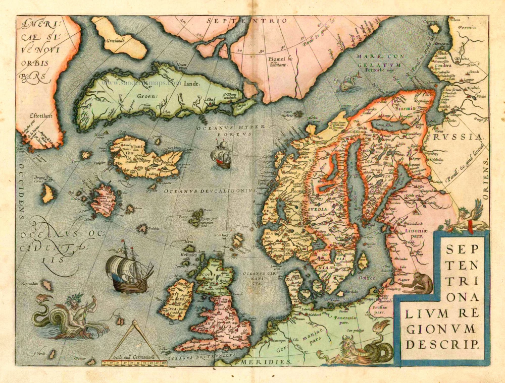
Abraham Ortelius created this map of northern Europe, showing Scandinavia in detail, based on the "Carta Marina" map of Olaus Magnus, a Swedish historian and geographer, published in Venice in 1539. It also shows Greenland and part of North America. In the North Atlantic, among decorations which include a merman playing a lute, are a host of mythical islands, including Frisland, Estotiland, Icaria, Drogero, St Brendan and Brasil. Most of the islands are derived from a 1556 book also published in Venice, which purported to be the true account of the voyages of the Zeno Brothers, Nicolas and Antonio, in the 1390s, published by one of their descendants. (Baynton-Williams)
Septentrionalium Regionum Descrip.
Item Number: 8931 Authenticity Guarantee
Category: Antique maps > Oceans
Old, antique map of the North Atlantic Ocean by A. Ortelius.
Date of the first edition: 1570
Date of this map: 1601
Abraham Ortelius created this map of northern Europe, showing Scandinavia in detail, based on the "Carta Marina" map of Olaus Magnus, a Swedish historian and geographer, published in Venice in 1539. It also shows Greenland and part of North America. In the North Atlantic, among decorations which include a merman playing a lute, are a host of mythical islands, including Frisland, Estotiland, Icaria, Drogero, St Brendan and Brasil.
Most of the islands are derived from a 1556 book also published in Venice, which purported to be the true account of the voyages of the Zeno Brothers, Nicolas and Antonio, in the 1390s, published by one of their descendants. (Baynton-Williams)
Copper engraving
Size: 36.5 x 49.5cm (14.1 x 19.3 inches)
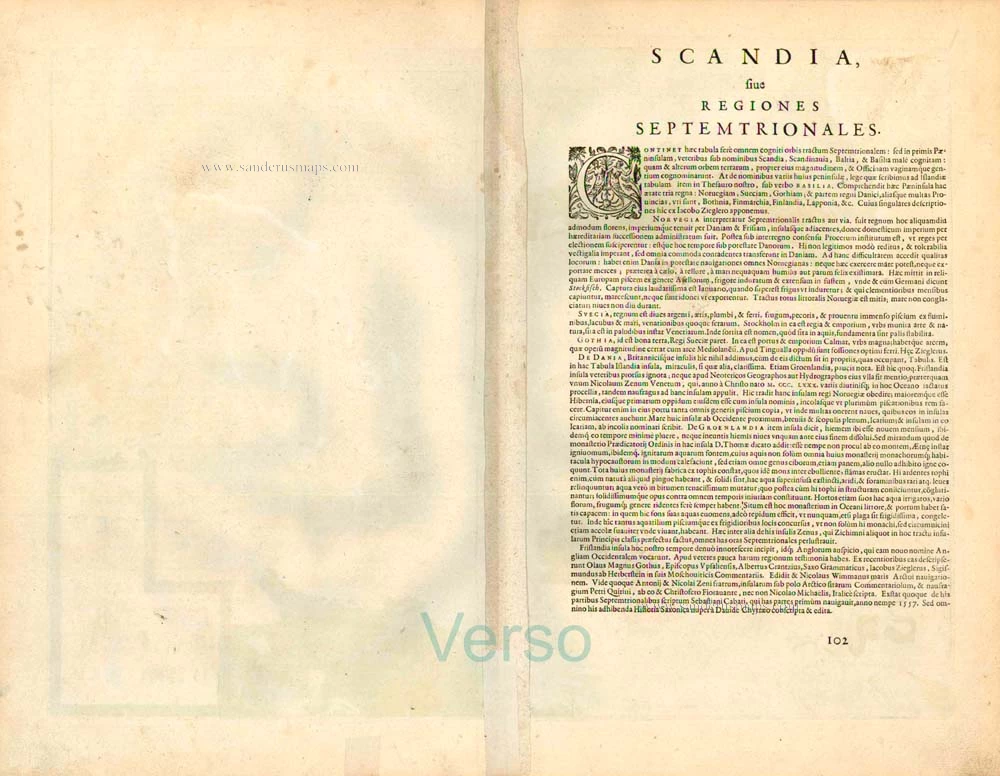
Verso text: Latin
Condition: Contemporary old coloured, excellent.
Condition Rating: A
References: Van der Krogt 3, 1200:31; Van den Broecke, 160; Ginsberg (Scandinavia), 24 State 6; Burden 40; .
From: Theatrum Orbis Terrarum Abrahami Ortelii Antverp. Geographi Regii. Antwerpen, Plantin Press, 1601. (Van der Krogt 3, 1:052)
Abraham Ortelius created this map of northern Europe, showing Scandinavia in detail, based on the "Carta Marina" map of Olaus Magnus, a Swedish historian and geographer, published in Venice in 1539. It also shows Greenland and part of North America. In the North Atlantic, among decorations which include a merman playing a lute, are a host of mythical islands, including Frisland, Estotiland, Icaria, Drogero, St Brendan and Brasil. Most of the islands are derived from a 1556 book also published in Venice, which purported to be the true account of the voyages of the Zeno Brothers, Nicolas and Antonio, in the 1390s, published by one of their descendants. (Baynton-Williams)


