
Rare title page of Purchas's Pilgrimes, with his portrait and worldmap
Samuel Purchas ' title page with a world map and portrait 1625

Samuel Purchas (c. 1577-1626)
Samuel Purchas was born around 1577 in Thaxted, Essex, England. Little is known about his childhood, but records indicate he studied at St. John’s College, Cambridge, where he earned a Bachelor of Arts degree and later entered the Anglican clergy. His clerical career eventually led him to a comfortable living as rector of St. Martin's in Ludgate, London. This fortunate position provided him with access to books, travellers, merchants, and manuscripts, which became the foundation of his life's work.
Purchas lived during a period of intense global exploration. England’s growing maritime presence created demand for knowledge about geography, foreign cultures, and distant lands. While not an explorer himself, Purchas played a crucial role in collecting, organising, and publishing geographical and travel information, making him a vital figure for mapmakers, navigators, and scholars.
In 1625, he published his monumental work, Hakluytus Posthumus, or Purchas His Pilgrimes, a massive four-volume compilation (five volumes if you include the new, expanded edition of Purchas His Pilgrimage) of over a thousand travel narratives, maritime logs, ethnographic descriptions, and geographic reports. While this was not itself a map collection, its cartographic impact was enormous: It recorded sailors’ latitudes, longitudes, bearings, and coastal features; It preserved eyewitness descriptions of lands visited by English, Dutch, Portuguese, and Spanish voyagers; It provided raw geographic data used by mapmakers such as John Speed, Henry Briggs, Jodocus Hondius, and other early modern cartographers; It helped shape English understanding of North America, especially New England and Virginia; It supported developing concepts of global geography, including the shape of continents and newly discovered routes.
Samuel Purchas died in 1626, shortly after completing Pilgrimes. Today, Purchas is recognised not as a mapmaker but as a major curator of geographic knowledge, whose compilation efforts significantly shaped cartographic development during a pivotal era.
Hakluytus Posthumus, or Purchas His Pilgrimes
Item Number: 32417 Authenticity Guarantee
Category: Antique maps > Title Pages
Title page with a world map and portrait, by Samuel Purchas.
Title: Hakluytus Posthumus, or Purchas His Pilgrimes
Date of the first edition: 1625.
Date of this map: 1625.
Copper engraving, printed on paper.
Image size: 290 x 185mm (11½ x 7¼ inches).
Size worldmap: 85 x 185mm (3¼ x 7¼ inches).
Sheet size: 335 x 210mm (13¼ x 8¼ inches).
Verso: Blank.
Condition: Excellent/.
Condition Rating: A+.
From: Purchas S. Hakluytus Posthumus or Purchas His Pilgrimes. Contayning a History of the World, in Sea Voyages, & lande - Travels, by Englishmen & other. ... Imprinted at London for Henry Fetherston at ye signe of the rose in Pauls Churchyard 1625.
Samuel Purchas (c. 1577-1626)
Samuel Purchas was born around 1577 in Thaxted, Essex, England. Little is known about his childhood, but records indicate he studied at St. John’s College, Cambridge, where he earned a Bachelor of Arts degree and later entered the Anglican clergy. His clerical career eventually led him to a comfortable living as rector of St. Martin's in Ludgate, London. This fortunate position provided him with access to books, travellers, merchants, and manuscripts, which became the foundation of his life's work.
Purchas lived during a period of intense global exploration. England’s growing maritime presence created demand for knowledge about geography, foreign cultures, and distant lands. While not an explorer himself, Purchas played a crucial role in collecting, organising, and publishing geographical and travel information, making him a vital figure for mapmakers, navigators, and scholars.
In 1625, he published his monumental work, Hakluytus Posthumus, or Purchas His Pilgrimes, a massive four-volume compilation (five volumes if you include the new, expanded edition of Purchas His Pilgrimage) of over a thousand travel narratives, maritime logs, ethnographic descriptions, and geographic reports. While this was not itself a map collection, its cartographic impact was enormous: It recorded sailors’ latitudes, longitudes, bearings, and coastal features; It preserved eyewitness descriptions of lands visited by English, Dutch, Portuguese, and Spanish voyagers; It provided raw geographic data used by mapmakers such as John Speed, Henry Briggs, Jodocus Hondius, and other early modern cartographers; It helped shape English understanding of North America, especially New England and Virginia; It supported developing concepts of global geography, including the shape of continents and newly discovered routes.
Samuel Purchas died in 1626, shortly after completing Pilgrimes. Today, Purchas is recognised not as a mapmaker but as a major curator of geographic knowledge, whose compilation efforts significantly shaped cartographic development during a pivotal era.
Related items
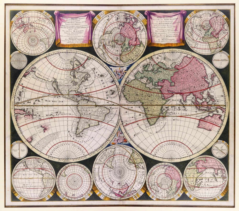
Diversa Orbis Terrae visu incedente per coluros tropicorum, ambos ejus polos, et particularis sphaerae zenith, in planum orthographica projectio ... c. 1710
World map in two hemispheres, by Petrus Schenk
[Item number: 9477]
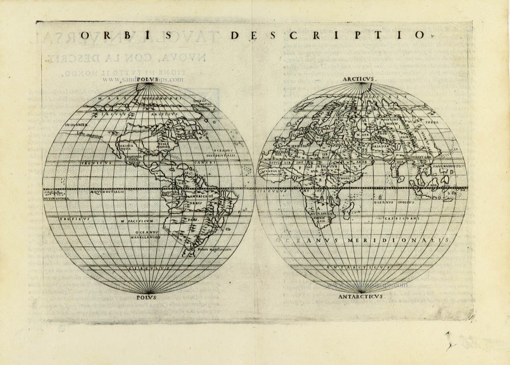
Orbis Descriptio. 1574
World in two hemisperes, by Girolamo Ruscelli.
[Item number: 32433]
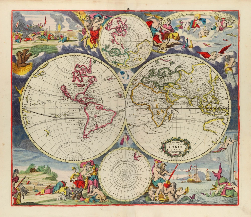
Rare first state of Danckerts beautiful world map
Nova Totius Terrarum Orbis Tabula.. c. 1680
Double hemisphere world map by Justus Danckerts
[Item number: 32456]

The most mystical world map of all time.
[No title] 1560-1600
Daniel's Dream Map. The Wittenberg world map by Hanss Luft.
[Item number: 32507]
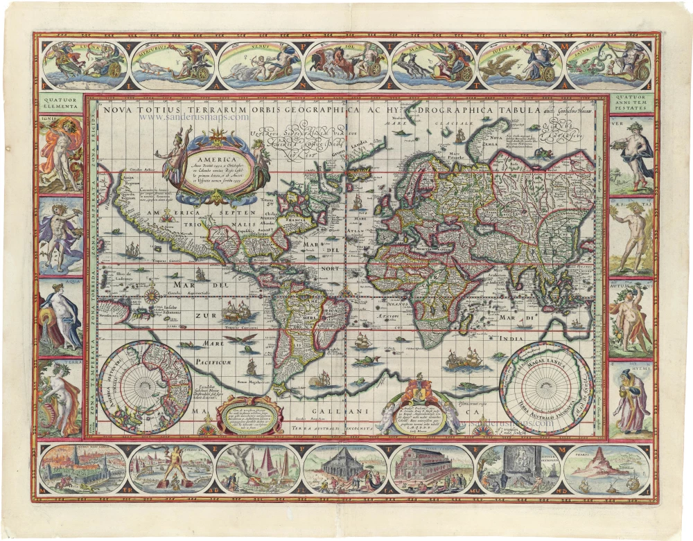
'One of the supreme examples of map maker's art' (Shirley)
Nova Totius Terrarum Orbis Geographica ac Hydrographica. 1635
World by Willem Blaeu, in Mercator projection.
[Item number: 32683]

Mappa Mondo O Vero Carta Generale Del Globo Terestre 1677
World in two hemisphers by Giovanni De Rossi, after Nicolas Sanson.
[Item number: 32885]

Atlas. c. 1680
Atlas Title Page by Frederick de Wit.
[Item number: 33152]

The only Spanish edition of Doncker's sea-atlas
La Atlas del Mundo o El Mundo Aguado Enseña Todas las Entradas de los puertos y de las Costas halladas y conosidas del Mundo. 1669
Title page of Hendrick Doncker's sea-atlas
[Item number: 33153]
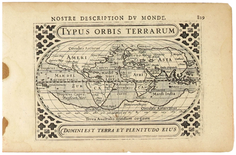
Typus Orbis Terrarum. 1618
World by Petrus Bertius.
[Item number: 33183]
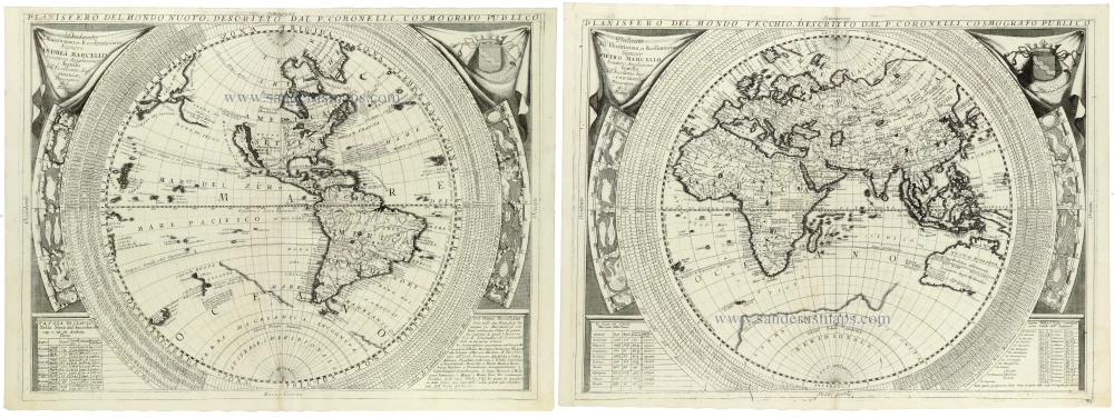
Planisfero del Mondo Nuovo, [in set with] Planisfero del Mondo Vecchio 1691
World - Set of two hemispheres by Coronelli V.M. (1650-1718
[Item number: 33302]
new