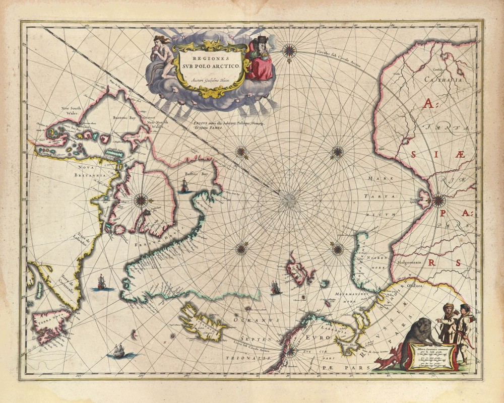
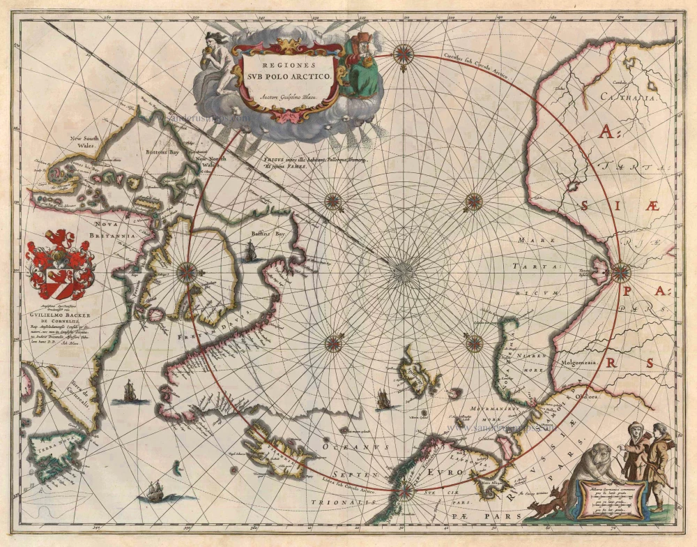
Antique map of the North Pole by W. Blaeu. 1649-55
Regiones sub Polo Arctico
Item Number: 1492 Authenticity Guarantee
Category: Antique maps > World and Polar
Antique map of the North Pole by W. Blaeu.
In its day this map was the most up-to-date map of the North Pole region available. To the left we see the discoveries of captain Thomas James of Bristol along the southern and western shores of the Hudson Bay during his expedition of 1631/32 (with, among others, "James his Bay"). Spitsbergen is drawn as it was known after the Danish expeditions of 1605-1607.
Date of the first edition: 1640
Date of this map: 1649
Copper engraving
Size: 41 x 53cm (16 x 20.7 inches)
Verso text: Latin
Condition: Old coloured.
Condition Rating: A
References: Van der Krogt 2, 0020:2.2.
From: Theatrum Orbis Terrarum.. J. Blaeu, 1649-55. (Van der Krogt 2, 2:202)


