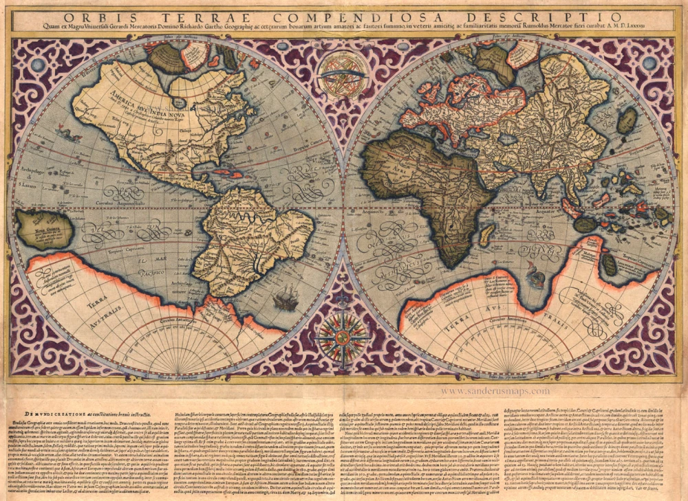
Antique map of World by Mercator 1595
Orbis Terrae Compendiosa Descriptio
Item Number: 13856 Authenticity Guarantee
Category: Antique maps > World
Copper engraving
Size: 29 x 52cm (11 x 20 inches)
Verso: Blank
Condition: Old coloured, age toned. Framed.
References: Shirley (World), 157; Koeman, Me12, 1-IV.
From: Atlas sive Cormographicae Meditationes de Fabrica Mundi et Fabricati Figura, Mercator's heirs, 1595.
"Gerard Mercator's great world map of 1569 was condensed into double hemispherical form by his son Rumold. It first appeared in Isaac Casaubon's edition of StrabWorld map Mercatoro's Geographia published in Geneva in 1587 with columns of text beneath the map. Later Rumold's map was incorporated into editions of Mercator's long-lived and influential Atlas from 1595 onwards. . . . The engraving is a model of clarity and neatness, with typical cursive flourishes to the lettering of the sea names. Surrounding the hemispheres is a strapwork border: between them at the top is an armillary sphere and at th bottom an elaborate compass rose. Gerard Mercator's prominent south-west bulge to the coastline of South America is retained. " (Shirley)

