
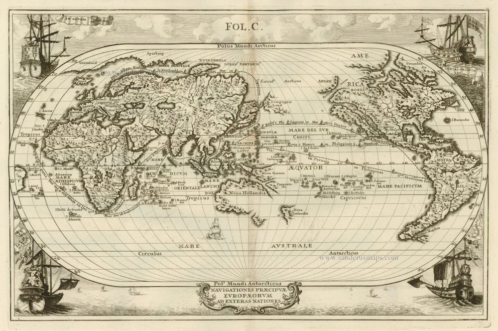
Antique map of World by Scherer Heinrich c. 1700
back
References: Shirley (World) - 631
Navigationes Praecipuae Europaeorum Ad Exteras Nationes.
SOLD
Item Number: 5787 Authenticity Guarantee
Category: Antique maps > World
An oval world map, east and west reversed, with pictures of ships in the corners. Shows the sailing routes to the East Indies across the Pacific and (optimistically) around the north-east passage to Japan.
Copper engraving
Size: 23 x 36cm (9 x 14 inches)
Verso: Blank
Condition: Excellent.
References: Shirley (World), 631.
From: Atlas Novus ... Munich, c. 1700.