
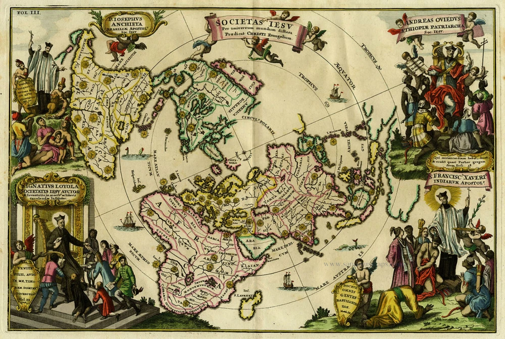
Antique map of World - Polar Projection by Scherer Heinrich c. 1700
Heinrich Scherer (1628 - 1704)
Geographer and engraver, professor of mathematics at the University of Munich.
Published the Atlas Novus (8 volumes, 187 plates), 1698-1710.
Societas Iesu per Universum Mundum Diffusa Praedicat Christi Evangelium
Item Number: 19344 Authenticity Guarantee
Category: Antique maps > World
Copper engraving
Size: 23.5 x 35.5cm (9.2 x 13.8 inches)
Verso: Blank
References: Shirley (World), 629.
From: Atlas Novus ... Munich, c. 1700.
World in north polar projection with corner vignettes; Jesuit missions marked globally; insular California
Heinrich Scherer (1628 - 1704)
Geographer and engraver, professor of mathematics at the University of Munich.
Published the Atlas Novus (8 volumes, 187 plates), 1698-1710.