
Old antique map of the World by S. Grynaeus, S. Münster and H. Holbein. 1532
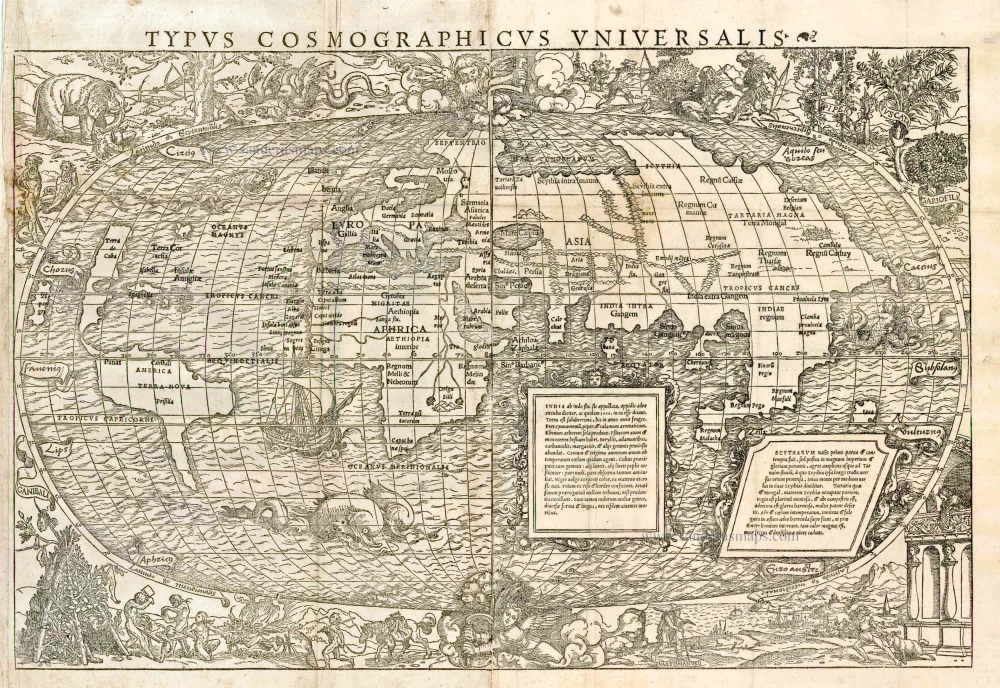
Large and decorative woodcut map in two sheets. Sebastian Münster contributed a long introduction Typi Cosmographici et Declaratio et usus to the collection of voyages published by Johann Huttich and Simon Grynaeus in Basle in 1532. There have been arguments for and against Münster's authorship of the accompanying map. It seems most probable that the map itself is Münster'swhereas the decor is more frequently attributed to Hans Holbein the Younger who was co-operating with several Basle publishers at the time. Geographically the map is quite antiquated and was probably prepared prior to 1532 based partly on the world configuration depicted in the Schöner globes, or on Apian's map of 1520. As no southern continent is shown Nordenskiöld assumed that the map compiler was unaware of the first circumnavigation of the globe made in 1522 but his contention cannot be supported. The projection follows the oval one of Bordone, with two cherubs energetically turning crank handles at the north and south poles. What the Münster-Holbein map lacks in precision it gains in richness of artistic decoration. Huge sea-monsters, mermaids, and an early galleon embellish the oceans. The surrounding borders to the map is filled with vivid vignettes of real or outlandish local scenes - winged serpents, grotesquely big-lipped natives, hunting scenes and feasting cannibals. (Shirley)
Typus Cosmogaphicus Universalis.
Item Number: 11274 Authenticity Guarantee
Category: Antique maps > World and Polar
Old, antique map of the World by Sebastian Münster and Hans Holbein.
Date of the first edition: 1532
Date of this map: 1532
Woodcut, printed on two sheets, joined.
Size: 35.5 x 55.5cm (13.8 x 21.6 inches)
Verso: Blank
Condition: A few minor reinforcements at folds, nice copy.
Condition Rating: A
References: Shirley, 67 (Rarity: "S"); Nordenskiöld, pp. 105-106 & pl. XLII
From: S. Grynaeus & J. Huttich. Novus Orbis Regionum ac Insularum Veteribus Incognitarum, Basel, I. Hervagium, 1532.
Large and decorative woodcut map in two sheets. Sebastian Münster contributed a long introduction Typi Cosmographici et Declaratio et usus to the collection of voyages published by Johann Huttich and Simon Grynaeus in Basle in 1532. There have been arguments for and against Münster's authorship of the accompanying map. It seems most probable that the map itself is Münster's whereas the decor is more frequently attributed to Hans Holbein the Younger who was co-operating with several Basle publishers at the time.
Geographically the map is quite antiquated and was probably prepared prior to 1532 based partly on the world configuration depicted in the Schöner globes, or on Apian's map of 1520. As no southern continent is shown Nordenskiöld assumed that the map compiler was unaware of the first circumnavigation of the globe made in 1522 but his contention cannot be supported. The projection follows the oval one of Bordone, with two cherubs energetically turning crank handles at the north and south poles.
What the Münster-Holbein map lacks in precision it gains in richness of artistic decoration. Huge sea-monsters, mermaids, and an early galleon embellish the oceans. The surrounding borders to the map is filled with vivid vignettes of real or outlandish local scenes - winged serpents, grotesquely big-lipped natives, hunting scenes and feasting cannibals. (Shirley)
Large and decorative woodcut map in two sheets. Sebastian Münster contributed a long introduction Typi Cosmographici et Declaratio et usus to the collection of voyages published by Johann Huttich and Simon Grynaeus in Basle in 1532. There have been arguments for and against Münster's authorship of the accompanying map. It seems most probable that the map itself is Münster'swhereas the decor is more frequently attributed to Hans Holbein the Younger who was co-operating with several Basle publishers at the time. Geographically the map is quite antiquated and was probably prepared prior to 1532 based partly on the world configuration depicted in the Schöner globes, or on Apian's map of 1520. As no southern continent is shown Nordenskiöld assumed that the map compiler was unaware of the first circumnavigation of the globe made in 1522 but his contention cannot be supported. The projection follows the oval one of Bordone, with two cherubs energetically turning crank handles at the north and south poles. What the Münster-Holbein map lacks in precision it gains in richness of artistic decoration. Huge sea-monsters, mermaids, and an early galleon embellish the oceans. The surrounding borders to the map is filled with vivid vignettes of real or outlandish local scenes - winged serpents, grotesquely big-lipped natives, hunting scenes and feasting cannibals. (Shirley)
Related items

Orbis Vetus in utraque Continente juxta Mentem Sansonianam Distinctus, nec non Observationibus Astronomicis Redactus ... c. 1757
The world by Robert de Vaugondy.
[Item number: 5092]
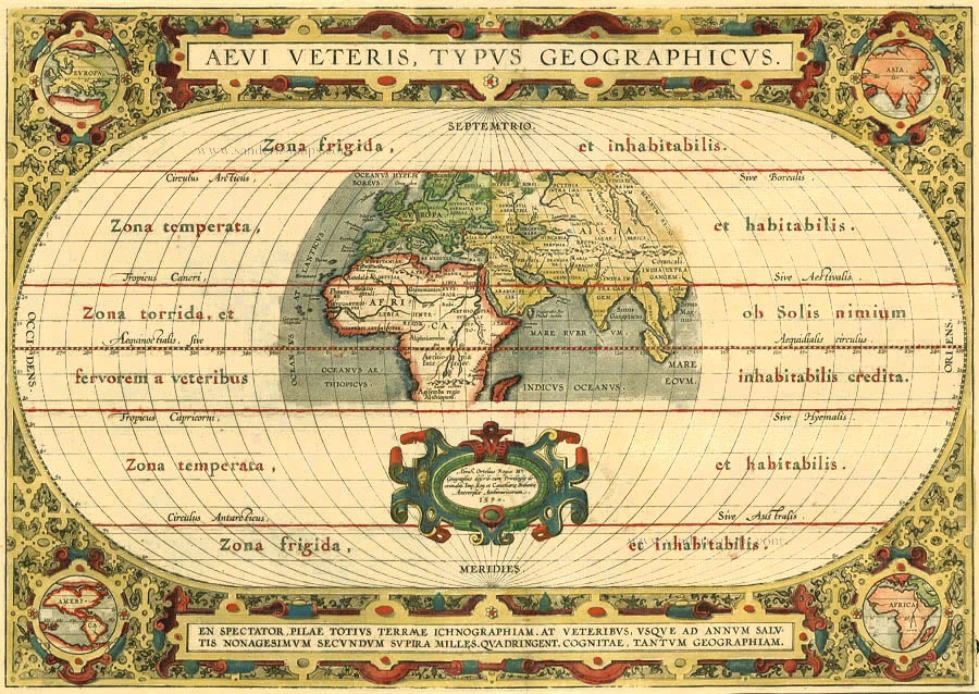
Aevi Veteris, Typus Geographicus 1595
Old, antique map of Ancient World by Ortelius A.
[Item number: 6684]
Superb condition
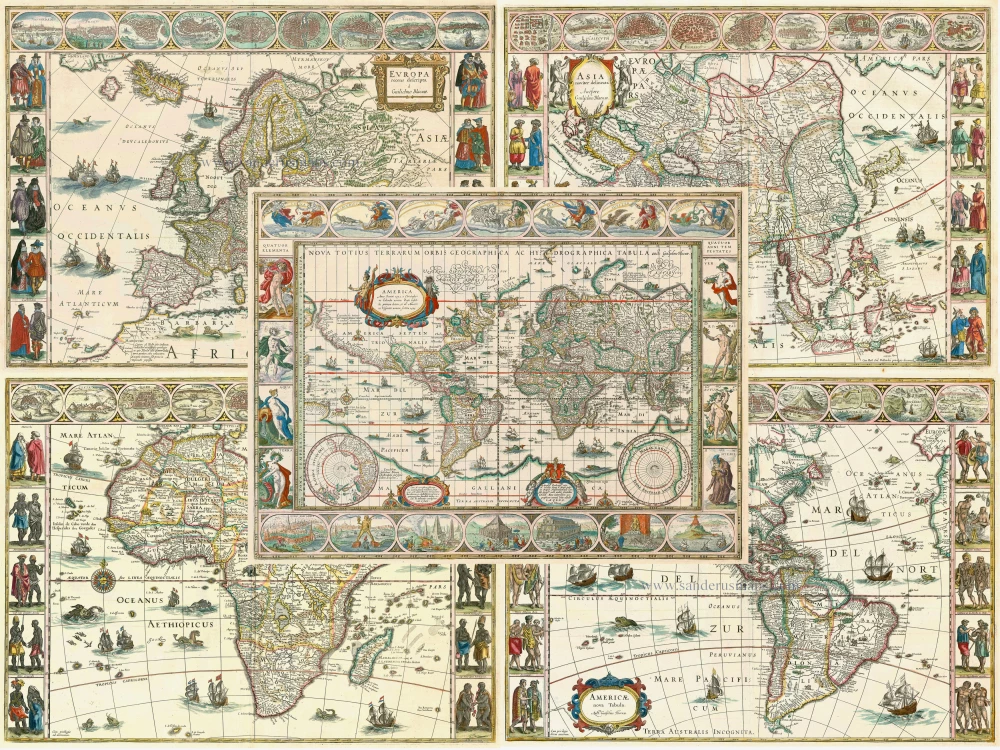
Nova Totius Terrarum Orbis Geographica ac Hydrographica. 1643-50
Willem Blaeu, set of 5 maps: World & continents.
[Item number: 24287]

Geographia Sacra 1601
Ancient world by A. Ortelius
[Item number: 24987]