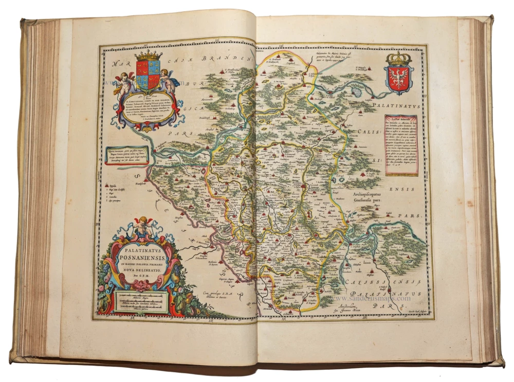
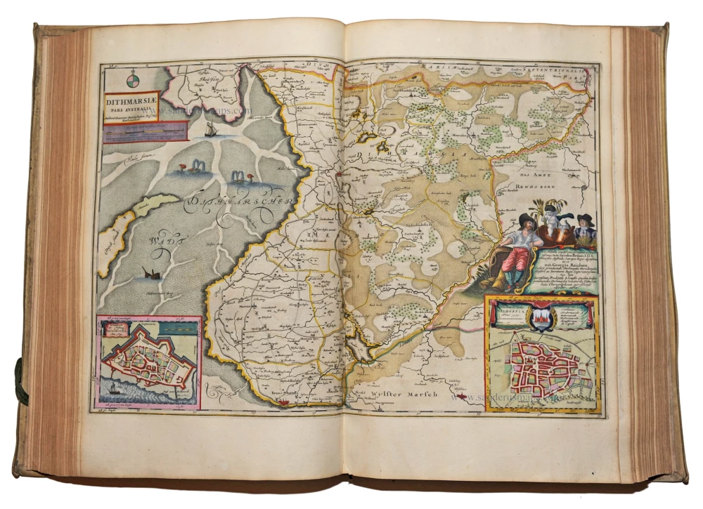
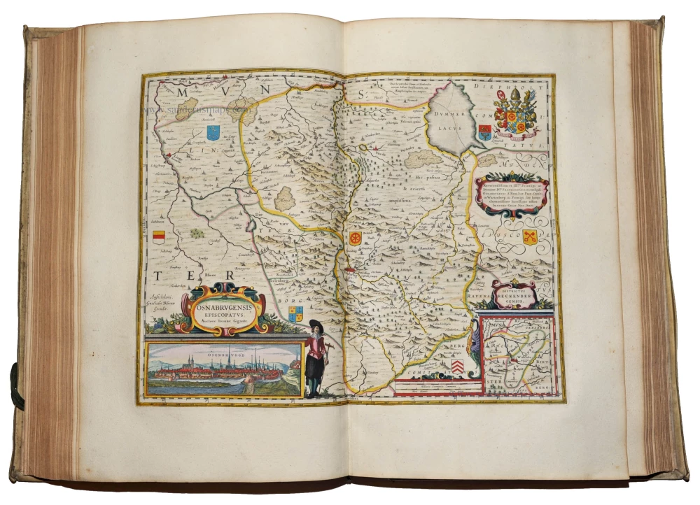
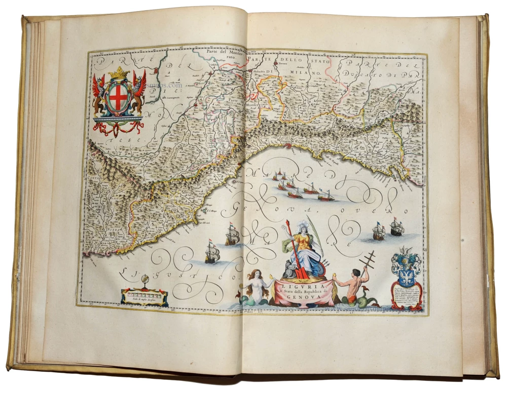
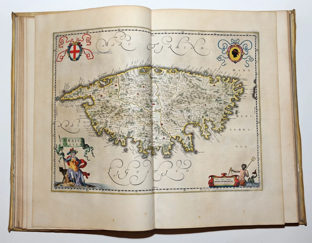
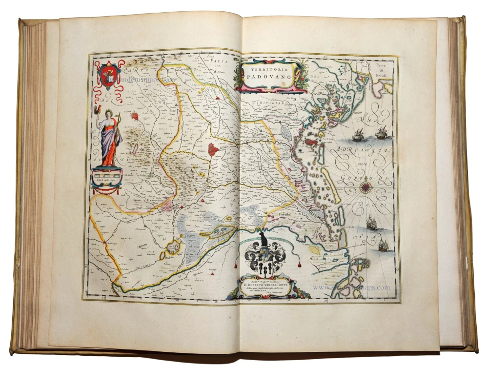
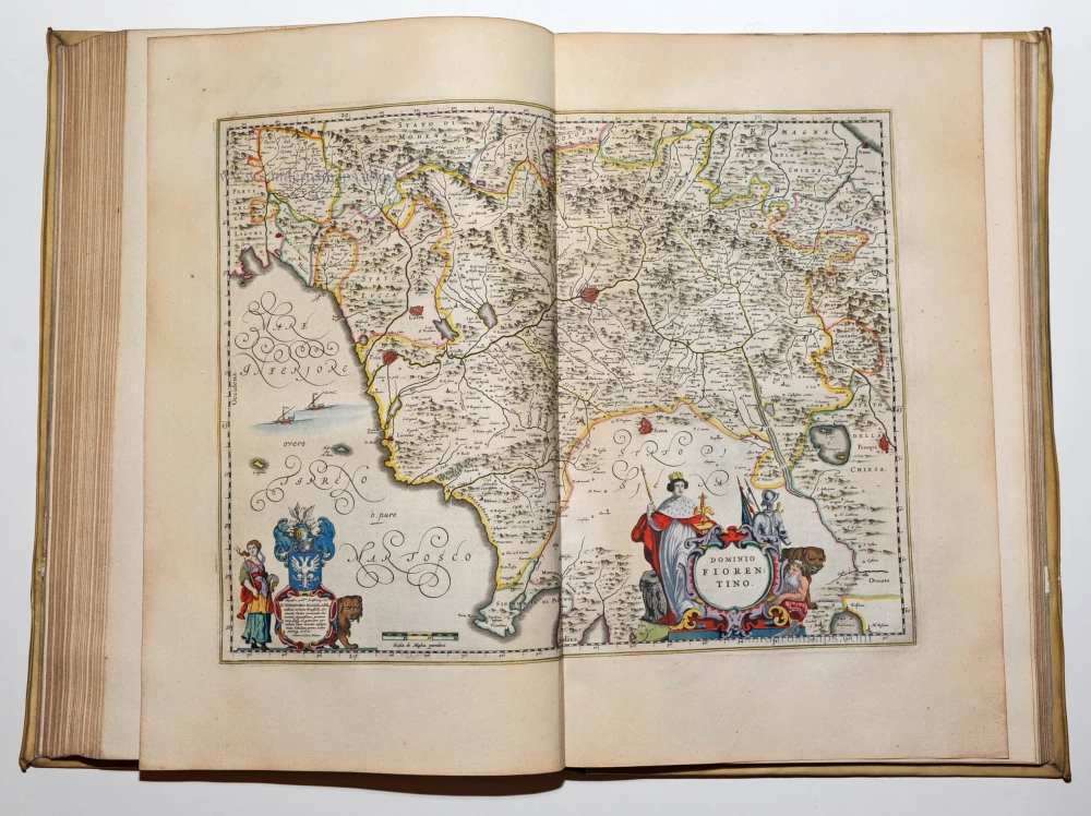
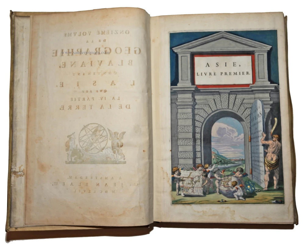
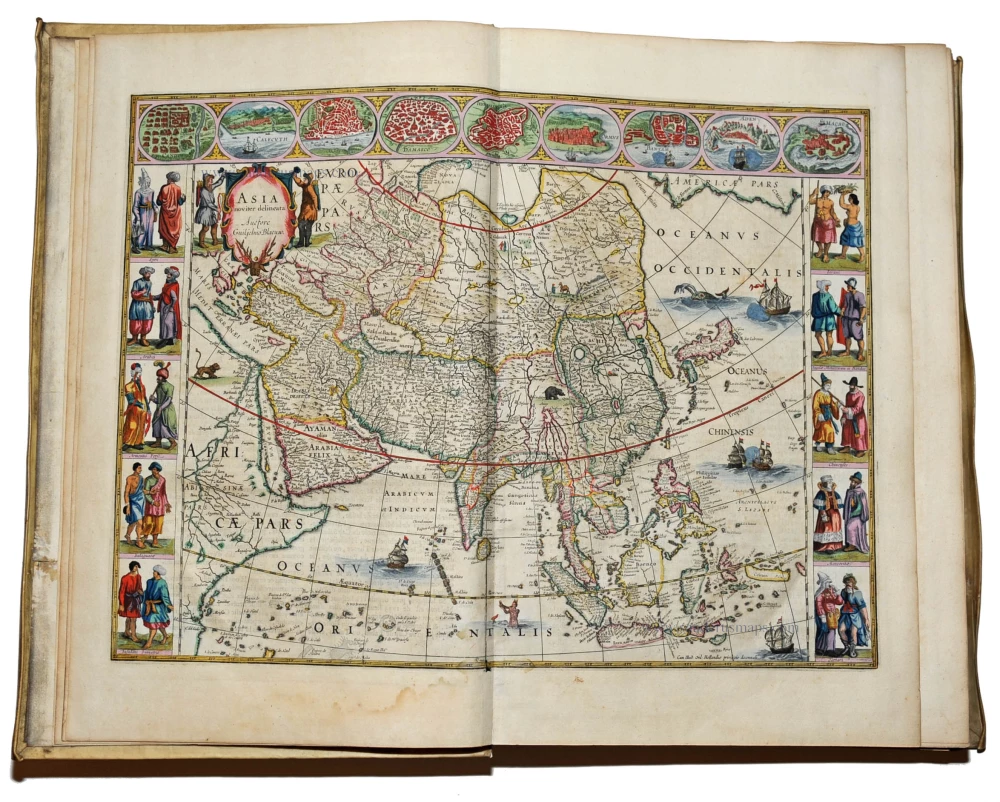
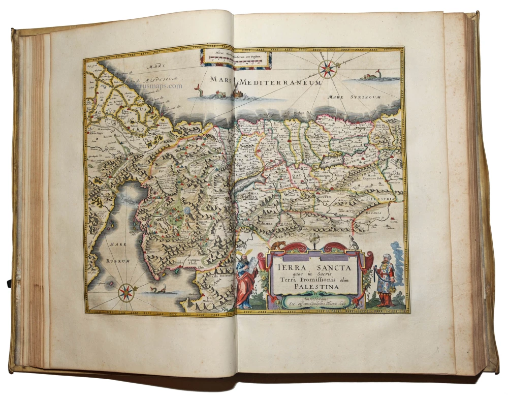
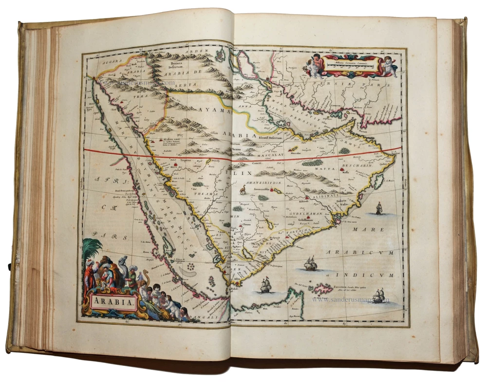
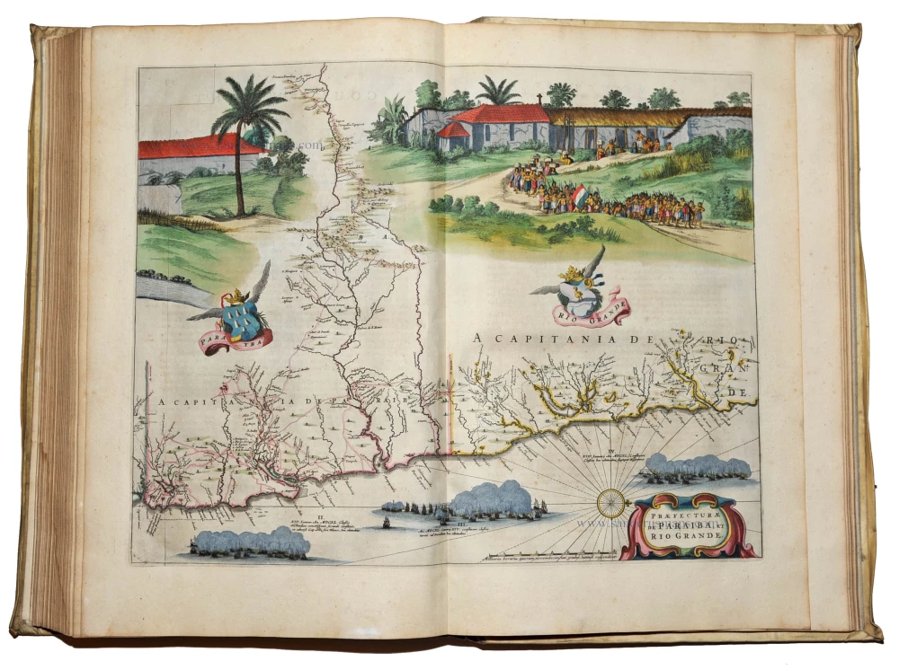
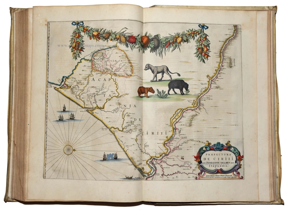
Blaeu J., Atlas Major. Amsterdam, 1667. 1575-1612
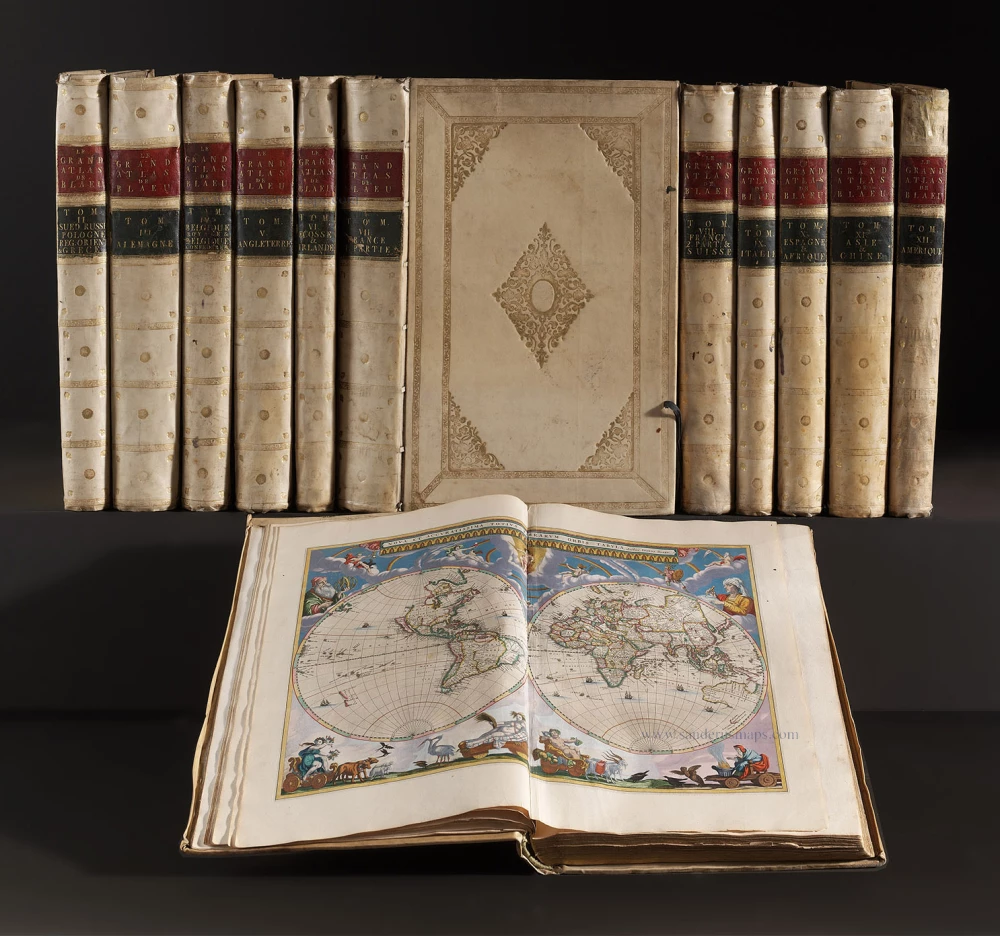
Le Grand Atlas, ou Cosmographie Blaviane, en laquelle est exactement descritte la Terre, la Mer et le Ciel.
Item Number: 24849 Authenticity Guarantee
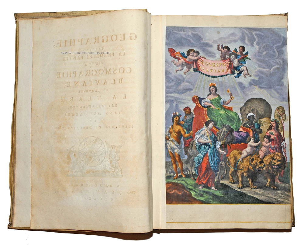
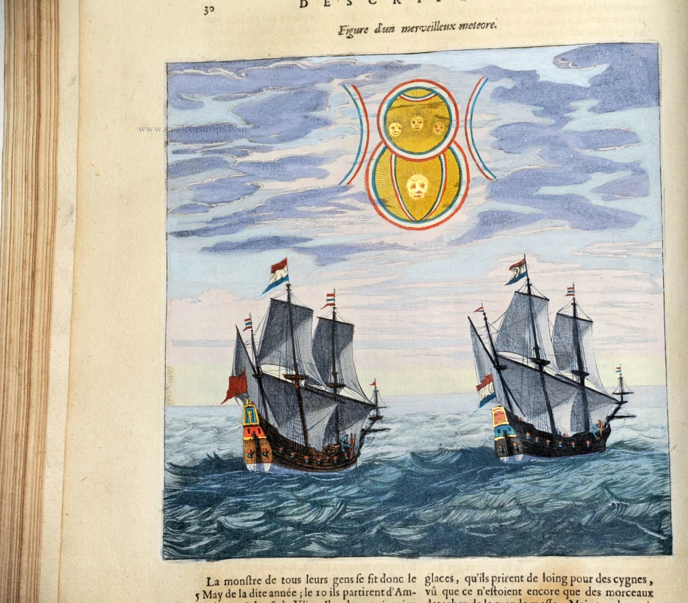
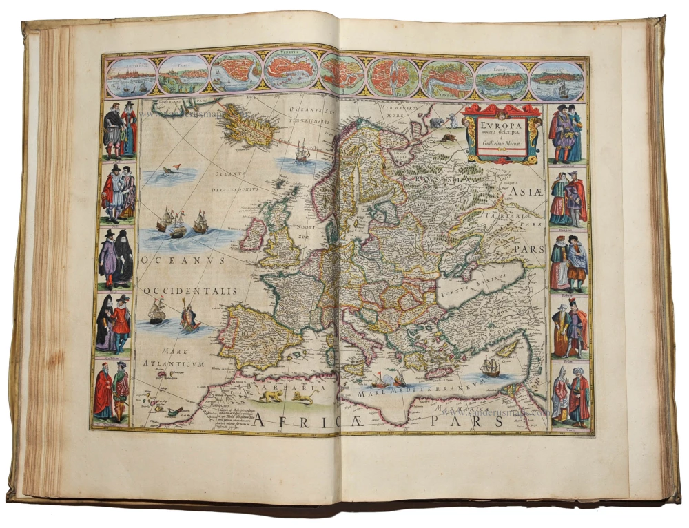
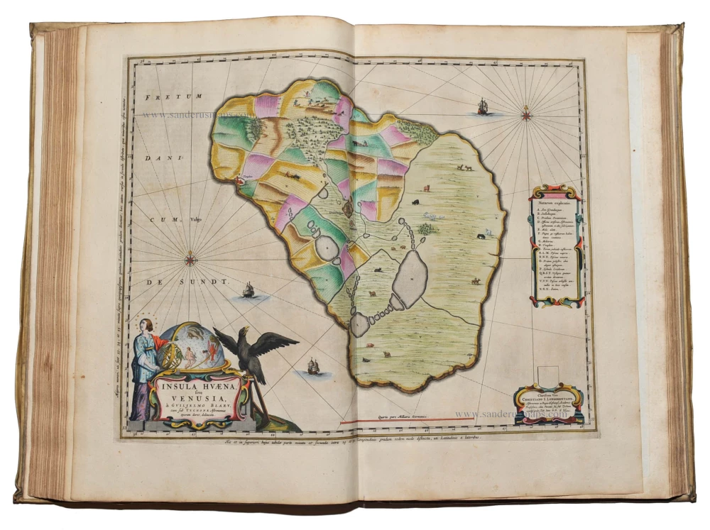
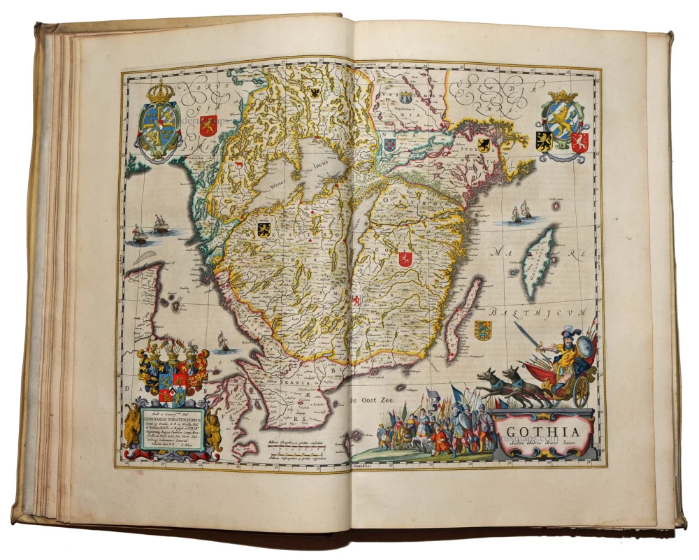
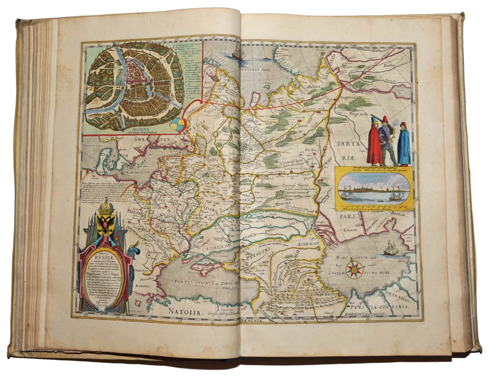
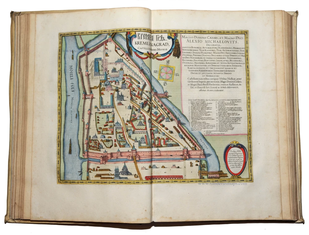
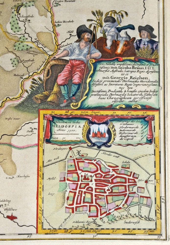
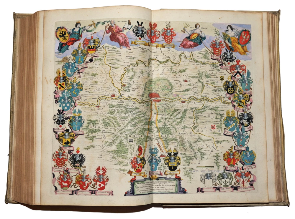
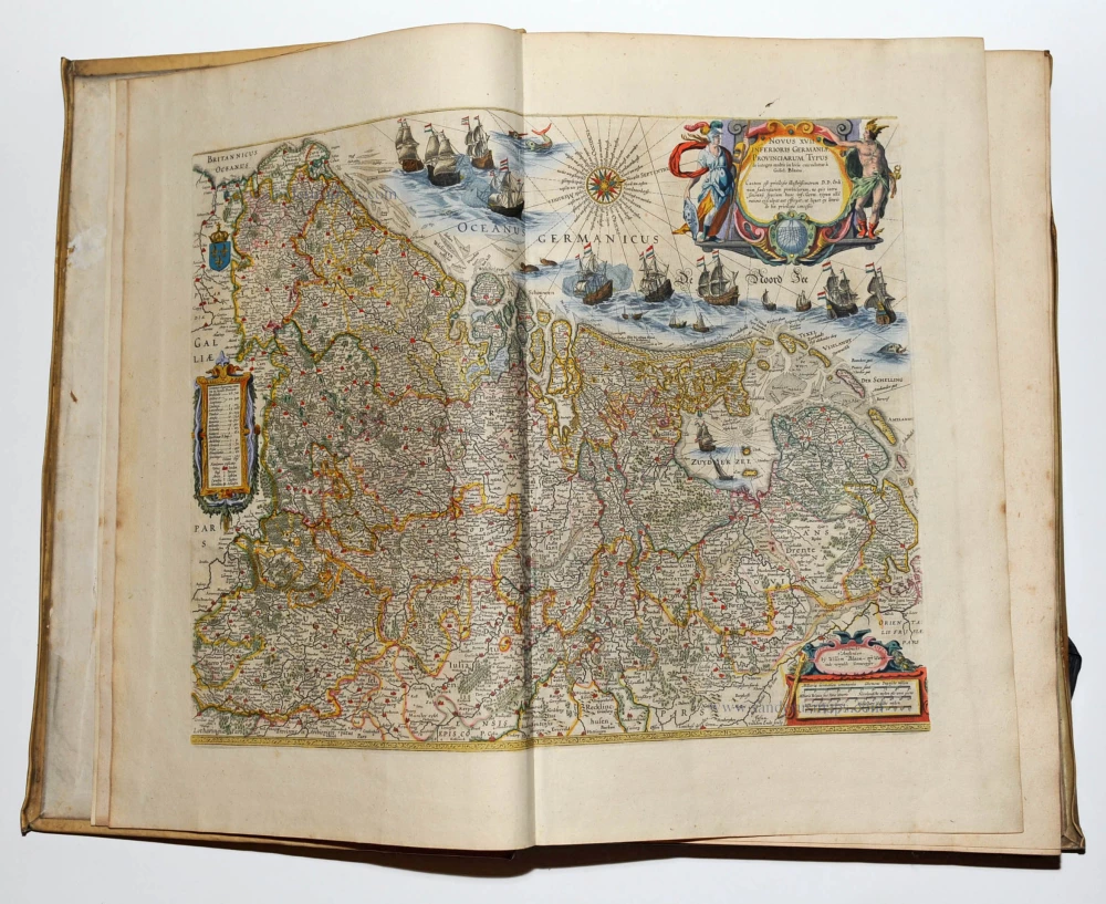
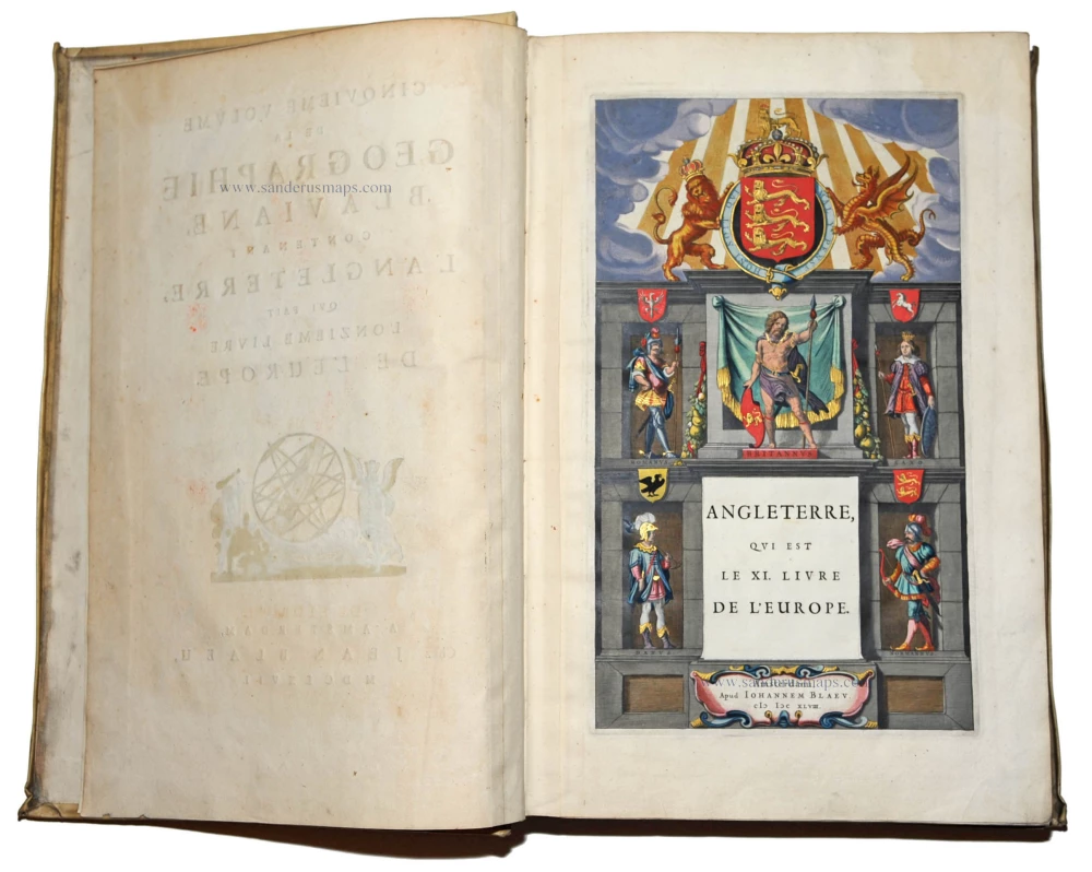
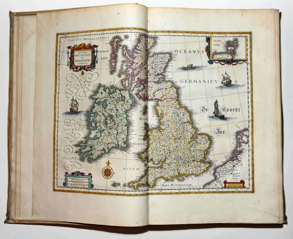
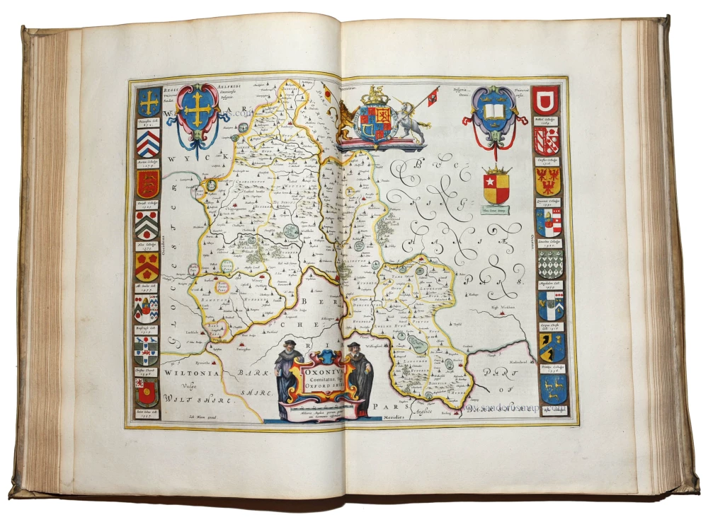
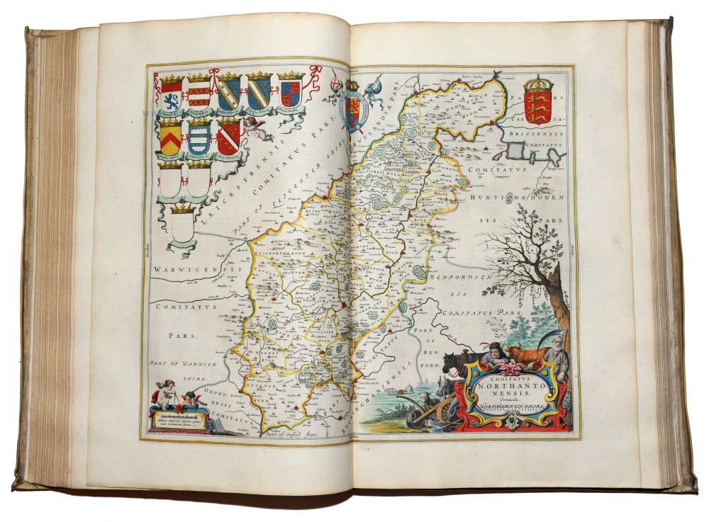
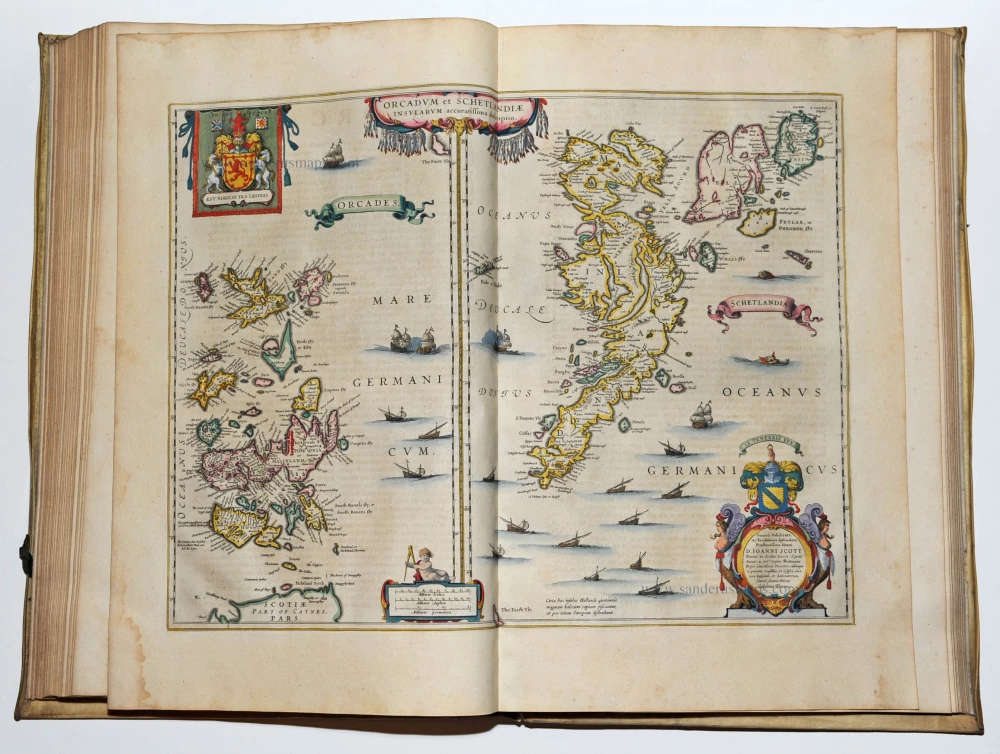
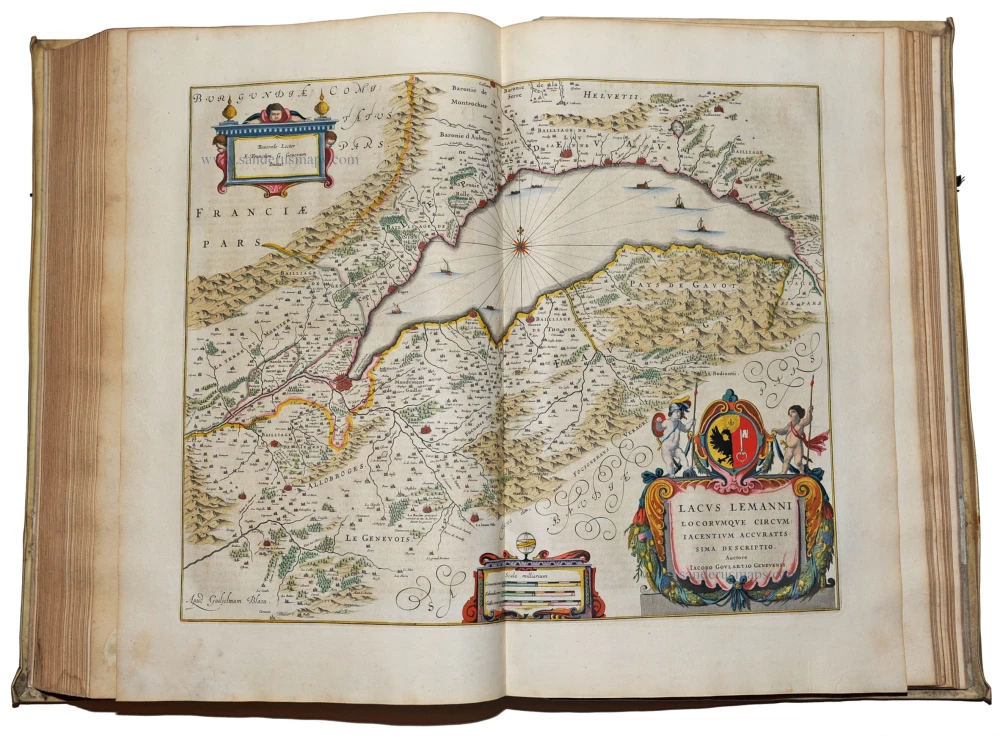
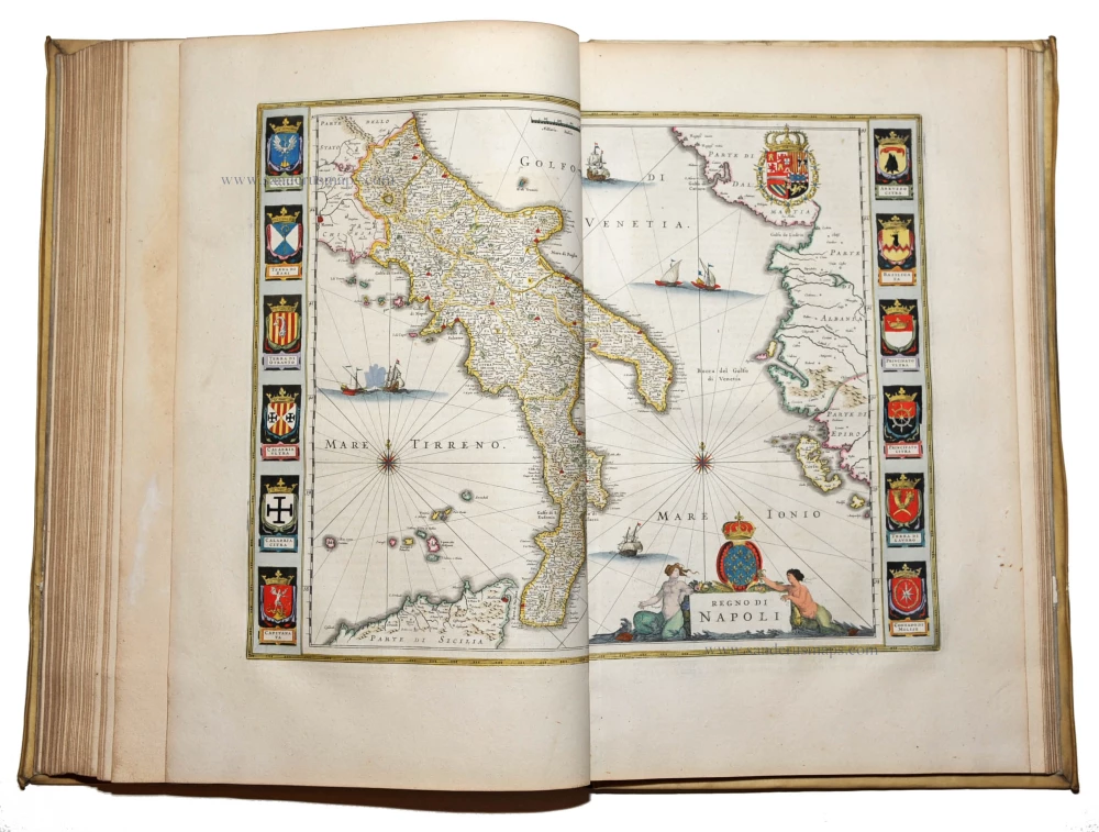
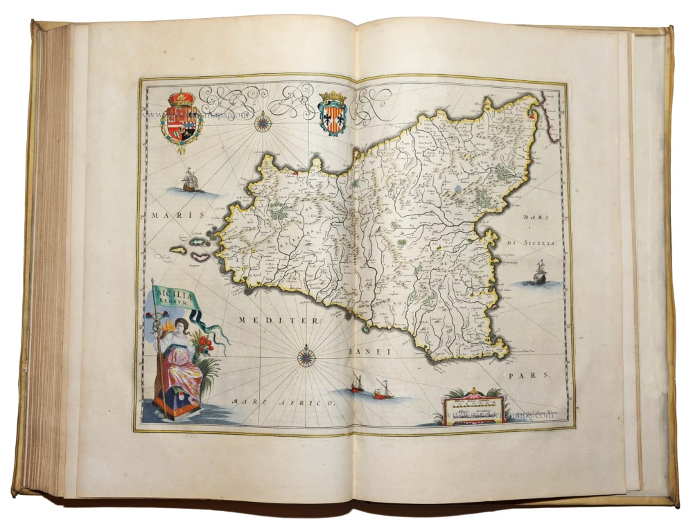
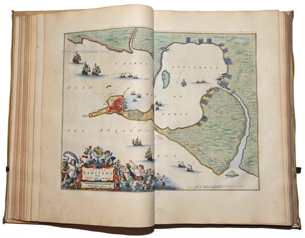
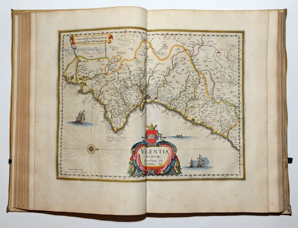
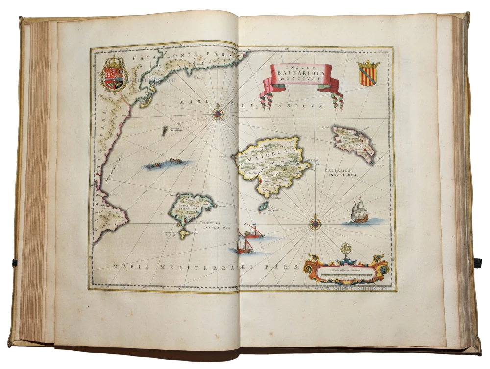
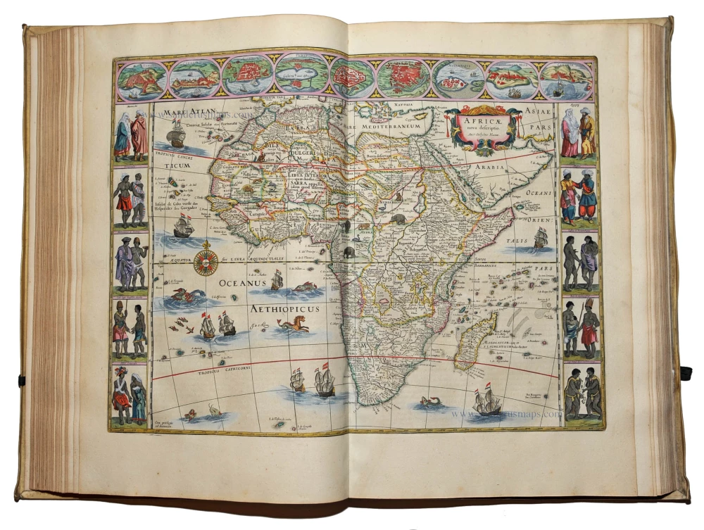
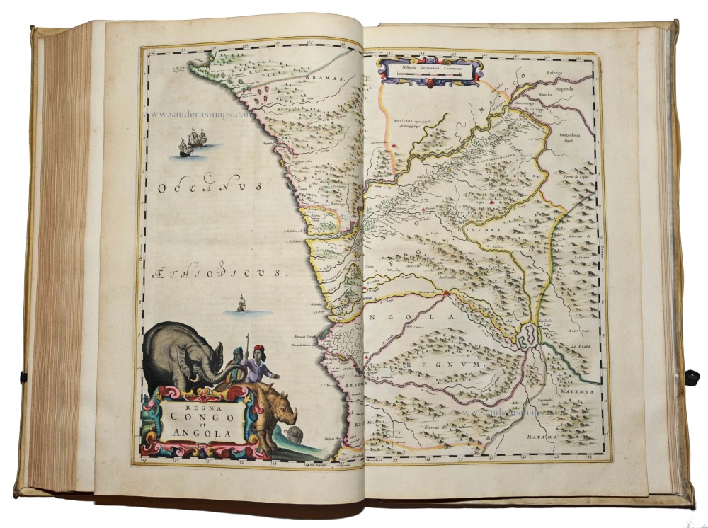
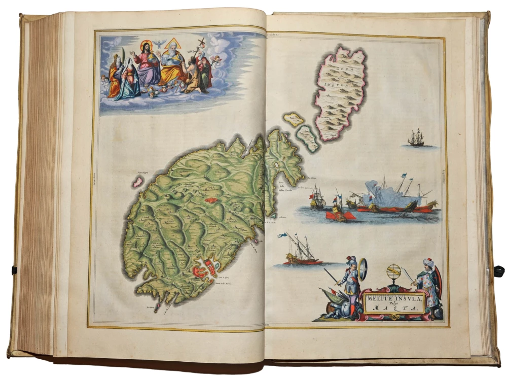
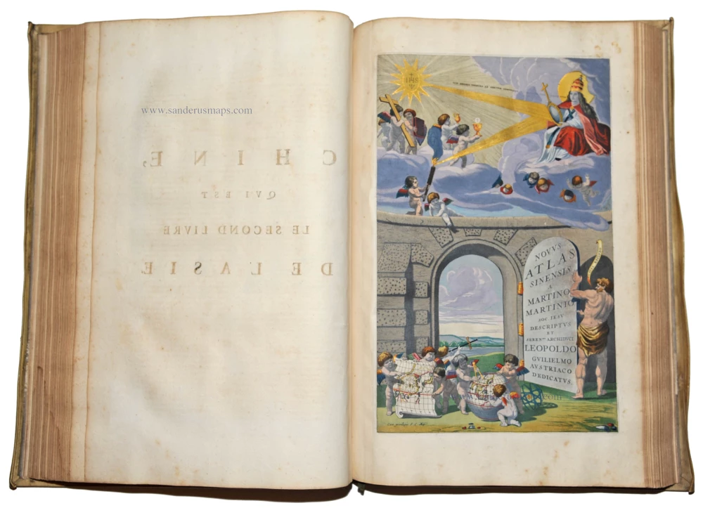
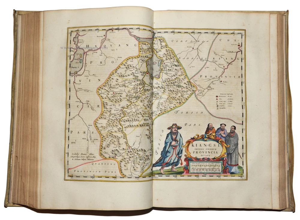
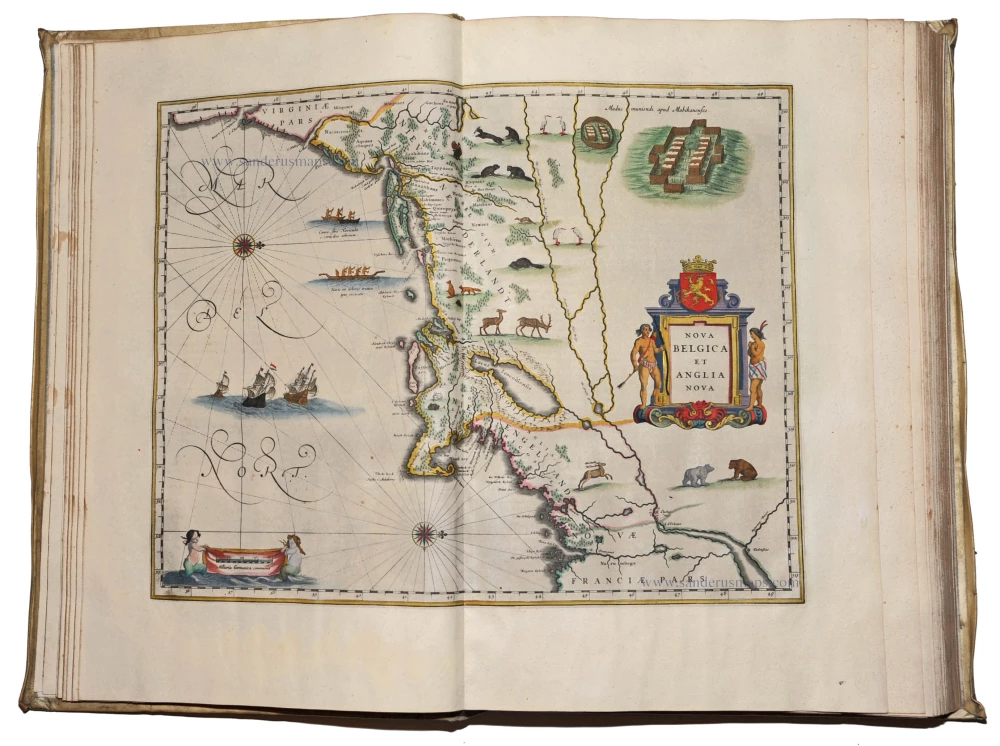
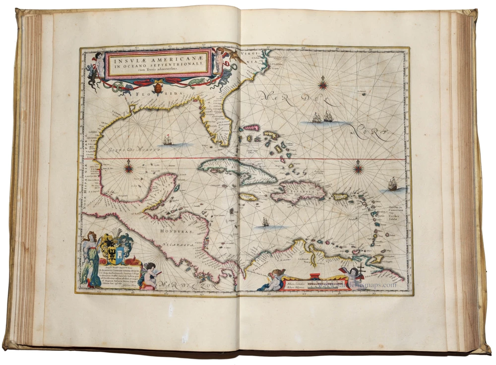
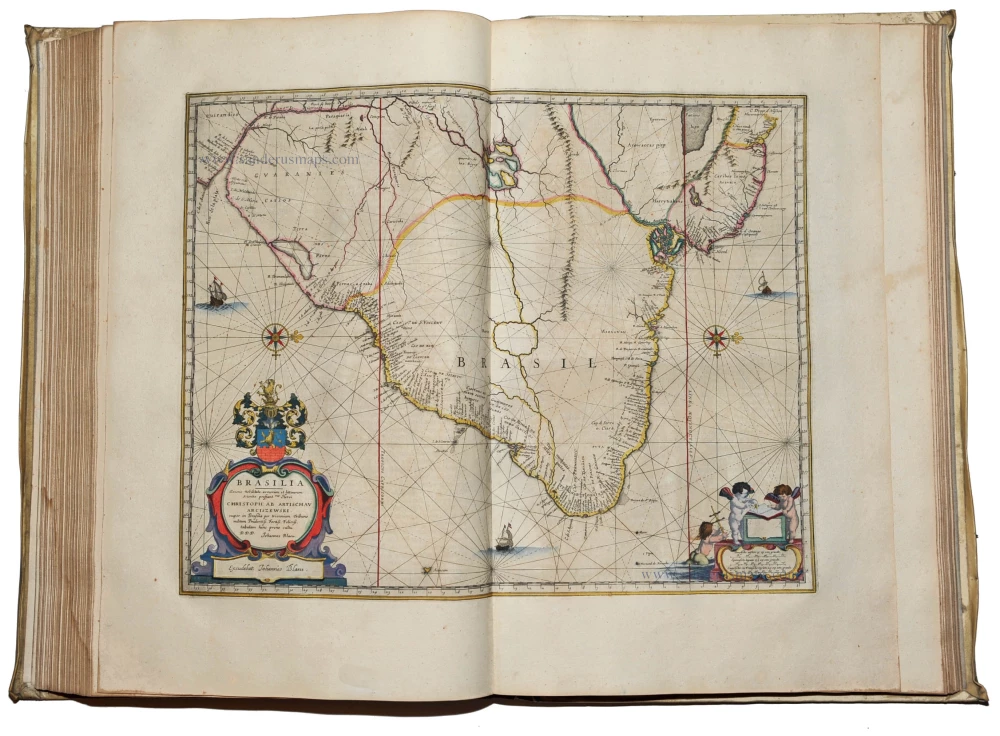
Second French edition (first 1663). 12 letterpress titles with woodcut printer's devices, volume I with general letterpress title and engraved allegorical title, 8 engraved architectural titles, 596 engraved maps, plans and views, most full-sheet, a few folding, the maps embellished with cartouches, allegorical figures, coats-of-arms, ships, etc., numerous woodcut and engraved diagrams and illustrations in text, woodcut initials and ornaments. Exceptional fine copy, all maps, engraved titles and text illustrations fully coloured by a contemporary hand and heightened with gold.
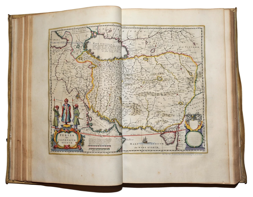
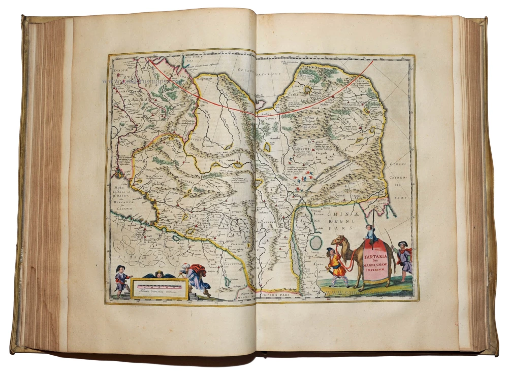
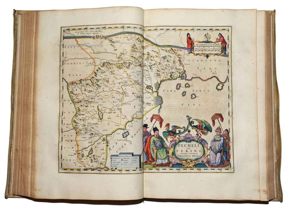
Contents: Volume I Arctic, Europe and Scandinavia. Title, engraved frontispiece, 60 engraved maps and plates (Van der Krogt lists 61 maps, including the map "Pars Australior Iutiae Septentrionalis" which has been replaced here by a page of text, recto-verso); including the world map and 14 plates depicting Uranienborg, the observatory of Tycho Brahe, and his astronomical instruments. -- Volume II Northern and Eastern Europe. Title, 39 engraved maps and plates, including the plans of Moscow and the Kremlin. - Volume III Germany. Title, 96 engraved maps, including 3 large folding plates of the Rhine, the Danube, and Alsace. -- Volume IV Belgium and the Netherlands. Title, 2 engraved titles, 63 engraved maps. -- Volume V England. Title, engraved title, 58 engraved maps, 3 engraved views in text of Stonehenge and Avebury. -- Volume VI Scotland and Ireland. Title, engraved title, 55 engraved maps. -- Volume VII France. Title, engraved title, 37 maps. -- Volume VIII France and Switzerland. Title, 36 engraved maps. -- Volume IX Italy. Title, engraved title 60 engraved maps. -- Volume X Spain and Africa. 2 titles, 41 maps and plates, including 7 plates of views and plans of the Escorial. -- Volume XI Asia. Title, 2 engraved titles, 28 engraved maps -- Volume XII America. Title, 23 maps (last two leaves with repaired internal tear). Ref.: Van der Krogt 2:612
In 1662 Joan Blaeu published the most famous of his atlases, the 11-volume Atlas Maior in Latin. In the following years editions in French (12 vol.), Dutch (9 vol., Spanish (10 vol.) and German (10 vol.) were published. De la Fontaine Verwey (1952) described the Atlas Maior as the 'greatest and finest atlas ever published.'

