
Rare, antique book - atlas by Ph. Vandermaelen.

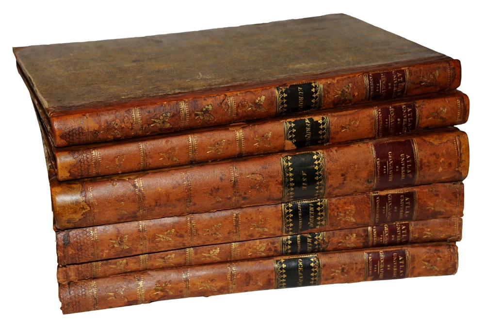

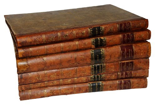
Atlas universel de geographie, physique, politique, statistique et mineralogique
Item Number: 24277 Authenticity Guarantee
Koeman III, Vdm1; Phillips (Atlases), 747;
A complete set of the six volume Atlas Universel in original (restored) bindings. 389 lthographed maps including 7 index maps, one chart of comparative altitudes of mountains and 381maps all original handcoloured in outline: Vol 1 Europe: 29 maps, including 1bis and 1ter, all matching the index map; Vol 2 Asia: 111 maps including 103bis with engraved text; Vol 3 Africa: 60 maps including 1bis, 5bis and 18bis; Vol 4 North America: 77 maps including 57bis; Vol 5 South America: 44 maps including 4bis: Vol 6 Oceania: 60 maps, with wrong half title and title (= title of the 5th vol., South America)
All the maps are on the scale 1:1.641.836, constructed on the modified conical projection by Sanson-Flamsteed. Joined together, they form a globe with a diameter of 7.75 meter, which was built indeed in the Etablissement Géographique in Brussels. The atlas was published in instalments during the period 1825-1827. Nowadays we can understand very well that this atlas was far ahead of its time because the status of the mapping of the world was not detailed enough to justify an international map of the world on the scale 1:1.6 million. However, the compilation and printing of so many sheets in a short time is an unparallelled achievement. The lithography was carried out by Henri Ode, who applied a new technique, especially designed for the Atlas Universel.
The Atlas Universel was dedicated to King Willem I of the Netherlands, at that time comprising both Belgium and Holland. A number of maps have been lithographed by Philippe vander Maelen himself. (Koeman)