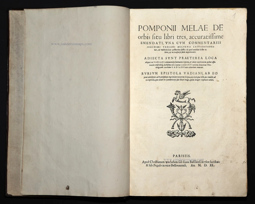
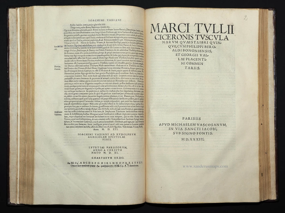
Mela Pomponius, De Orbis Situs libri tres, ... Paris, 1533. 1540
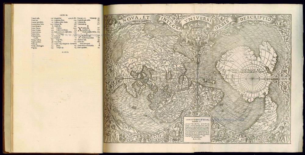
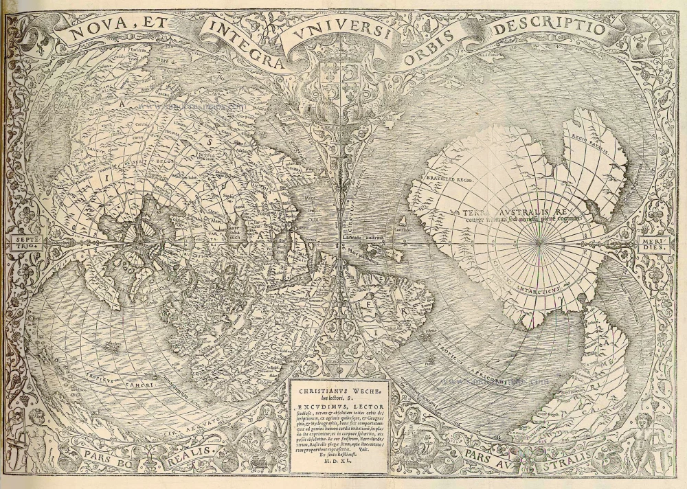
Nova, Et Integra Universi Orbis Descriptio.
Item Number: 21423 Authenticity Guarantee
Category: Books > Scientific Books
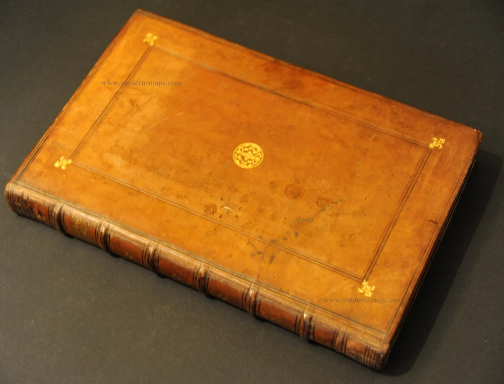
Two works in one volume. Contemporary calf, gilt with fleur-de-lys ornaments, spine carefully restored, folio.
Pomponius Mela's work, which dates to the first century, is the earliest surviving Latin work on geography and the only Roman treatise devoted exclusively to the subject. It presents the classic, original version of the argument that the known landmasses in the northern hemisphere must have antipodean counterparts to balance them. It exerted a considerable influence on later authors, partly through the extensive citations in Pliny, and - along with Ptolemy - was one of the direct stimuli that led to exploration of the new world; in particular Mela's descriptions of Africa as found here were used by the Portuguese navigators, and helped prompt to push to the east and the south.
For this edition, the publishers commissioned a new and extremely important - now very rare - double-cordiform world map by Oronce Finé: it represents a new epoch in map-making, being considerably in advance of any published before; but it also represents the first use of the term "Terra Australis". It is one of the earliest depictions of a separate southern continent which it describes as "Terra Australis recenter inventa, sed nondum plene cognita". The map exists in several states, which were released in Paris between 1531 and 1555: this is the state 4 identified by Shirley who describes the map as "A rendering considerably in advance of any others printed earlier ... [It is] geographically much superior to the large oval map by Sebastian Münster and Hans Holbein... In many cases the margins of surviving copies are badly frayed as after folding once for insertion into the book they were still too wide for the binding."
Sabin (America), 63960; Schilder, Australia Unveiled, map 7; Shirley (World), 66

