
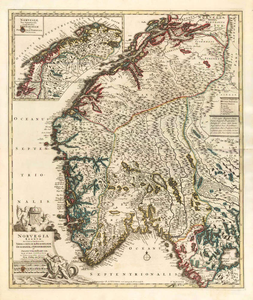
Norway by F. De Wit, published by R. & J. Ottens. After 1721


Frederick de Wit (1630-1706)
The engraver and map-seller, Frederick de Wit, was born in Gouda (Netherlands) in 1630 as a son of Hendrick Fredericksz de Wit. Through his marriage with Maria van der Waag of Amsterdam in 1661, he obtained citizenship of the city where he had been working since 1648 and where he became one of the most famous engravers of maps of the second half of the 17th century. Although De Wit was a Catholic, which meant that he was not favoured at the time by the city council, he was awarded the honour of being listed as one of the "excellent citizens" on the roll of the city council in the years 1694-1704. However, his name was not written in the Guild of St. Luke book before 1664. At that time, he lived on the Kalverstraat "in de Witte Pascaert", where he stayed until his death in 1706. His earliest dates on maps engraved are 1659 (Regni Daniae) and 1660 (World map).
Frederick de Wit published several world atlases, a sea atlas, and an atlas of the Netherlands.
The dating of the maps is difficult. However, as a privilege was granted in 1689, the annotation 'cum privilegio' marks an edition after 1688.
Around 1700, Frederick de Wit entered the market with a town atlas. He produced two volumes with a total of 260 plans and views. Most were printed from plates used for Janssonius and Blaeu town atlases.
After he died in 1706, his widow continued the shop until 1709. The plates and stock of De Wit's atlas were sold to Covens & Mortier in 1710, who sold the atlas for an extended period.
Norvegia Regnum Divisum in suos Dioeceses Nidrosiensem, Bergensem, Opsloensem, et Stavangriensem et Praefecturam Bahusiae ...
Item Number: 25857 Authenticity Guarantee
Category: Antique maps > Europe > Northern Europe
Norway by F. De Wit, published by R. & J. Ottens.
With an inset of the Northern part of Norway.
Title: Norvegia Regnum Divisum in suos Dioeceses Nidrosiensem, Bergensem, Opsloensem, et Stavangriensem et Praefecturam Bahusiae ...
Date of the first edition: c. 1688-89.
Date of this map: After 1721.
Copper engraving, printed on paper.
Image size: 575 x 490mm (22.64 x 19.29 inches).
Sheet size: 640 x 535mm (25.2 x 21.06 inches).
Verso: Blank.
Condition: Original coloured in outline, two small brown stains (in left corners).
Condition Rating: A.
From: Atlas minor sive geographia compendiosa in qua orbid terrarum paucis attamen novissimis tablulis ostenditur - Atlas nouveau contenant toutes les parties du monde où sont exactement remarquées les empires, monarchies, royaumes,états, républiques, &c. Amsterdam, R. & J. Ottens (1756). (Koeman, Ott3)
Frederick de Wit (1630-1706)
The engraver and map-seller, Frederick de Wit, was born in Gouda (Netherlands) in 1630 as a son of Hendrick Fredericksz de Wit. Through his marriage with Maria van der Waag of Amsterdam in 1661, he obtained citizenship of the city where he had been working since 1648 and where he became one of the most famous engravers of maps of the second half of the 17th century. Although De Wit was a Catholic, which meant that he was not favoured at the time by the city council, he was awarded the honour of being listed as one of the "excellent citizens" on the roll of the city council in the years 1694-1704. However, his name was not written in the Guild of St. Luke book before 1664. At that time, he lived on the Kalverstraat "in de Witte Pascaert", where he stayed until his death in 1706. His earliest dates on maps engraved are 1659 (Regni Daniae) and 1660 (World map).
Frederick de Wit published several world atlases, a sea atlas, and an atlas of the Netherlands.
The dating of the maps is difficult. However, as a privilege was granted in 1689, the annotation 'cum privilegio' marks an edition after 1688.
Around 1700, Frederick de Wit entered the market with a town atlas. He produced two volumes with a total of 260 plans and views. Most were printed from plates used for Janssonius and Blaeu town atlases.
After he died in 1706, his widow continued the shop until 1709. The plates and stock of De Wit's atlas were sold to Covens & Mortier in 1710, who sold the atlas for an extended period.
Related items
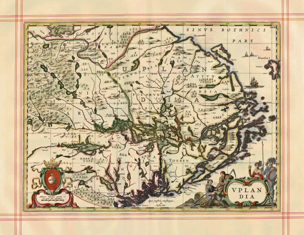
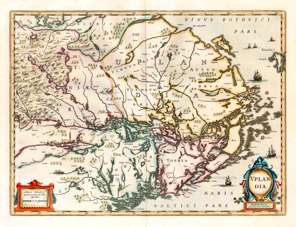
Uplandia 1680
Uppland by J. Janssonius, published by Moses Pitt and J. Janssonius-Waesberge.
[Item number: 1246]
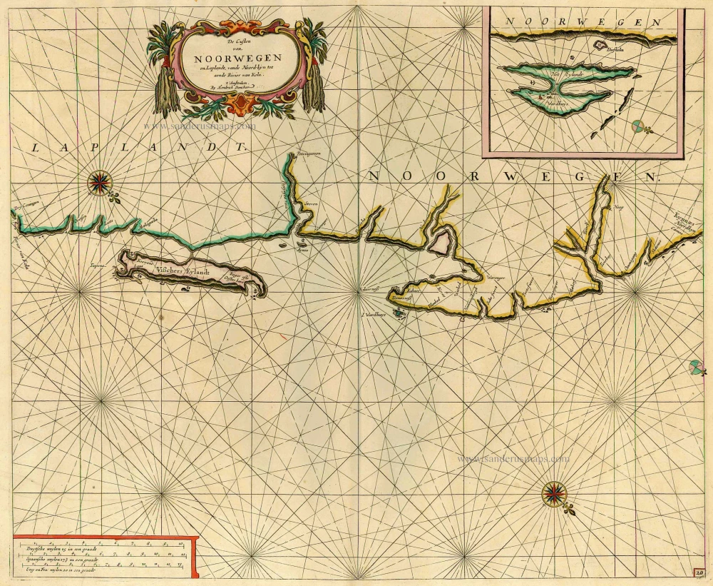
De Custen van Noorwegen en Laplandt, vande Noord-kyn tot aende Rivier van Kola. 1686
Sea chart of the coast of Norway, by Doncker H.
[Item number: 12920]
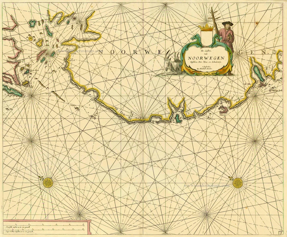
De Custen van Noorwegen tusschen Der Neus en Schuitenes. 1686
Sea chart of Norway, by Doncker H.
[Item number: 15775]
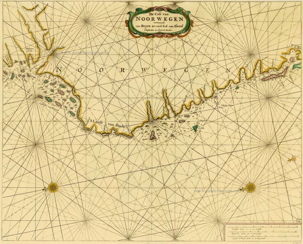
De Cust van Noorwegen vertoonende van Bergen tot aen de hoek van Horrel. 1686
Norway, by Doncker H.
[Item number: 17064]
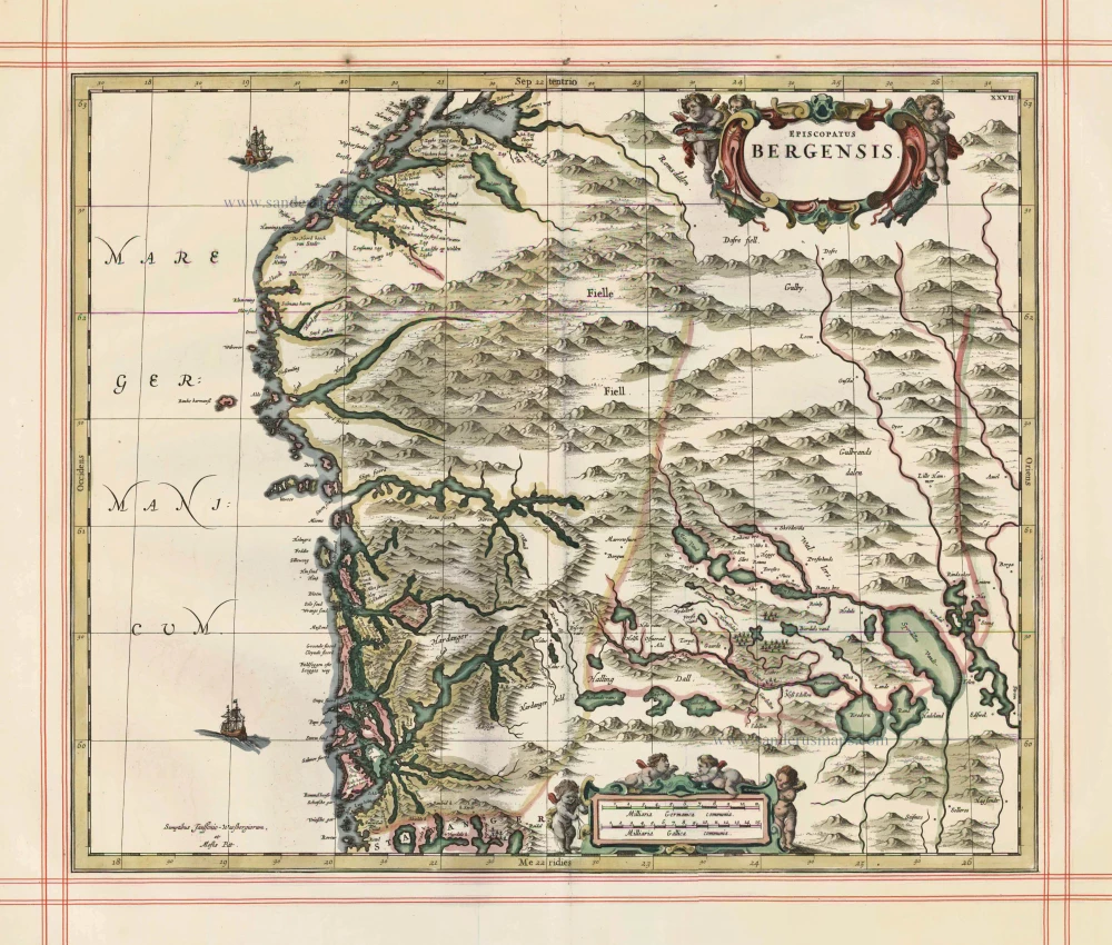
Episcopatus Bergensis 1680
Norway - Bergen, by J. Janssonius, published by Moses Pitt and J. Janssonius-Waesberge.
[Item number: 25068]
Uplandia. 1641
Uppland, by Henricus Hondius.
[Item number: 26261]
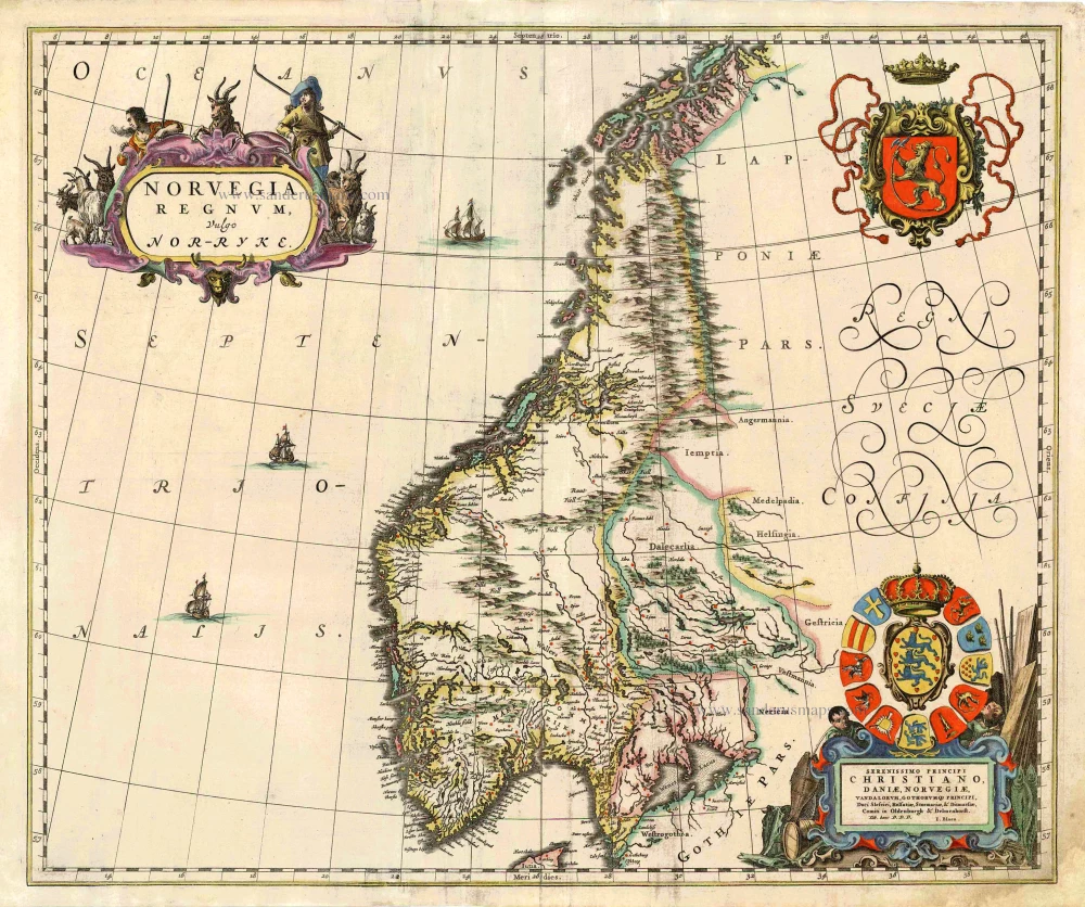
Norvegia Regnum, Vulgo Nor-Ryke. 1667
Norway, by J. Blaeu.
[Item number: 26585]
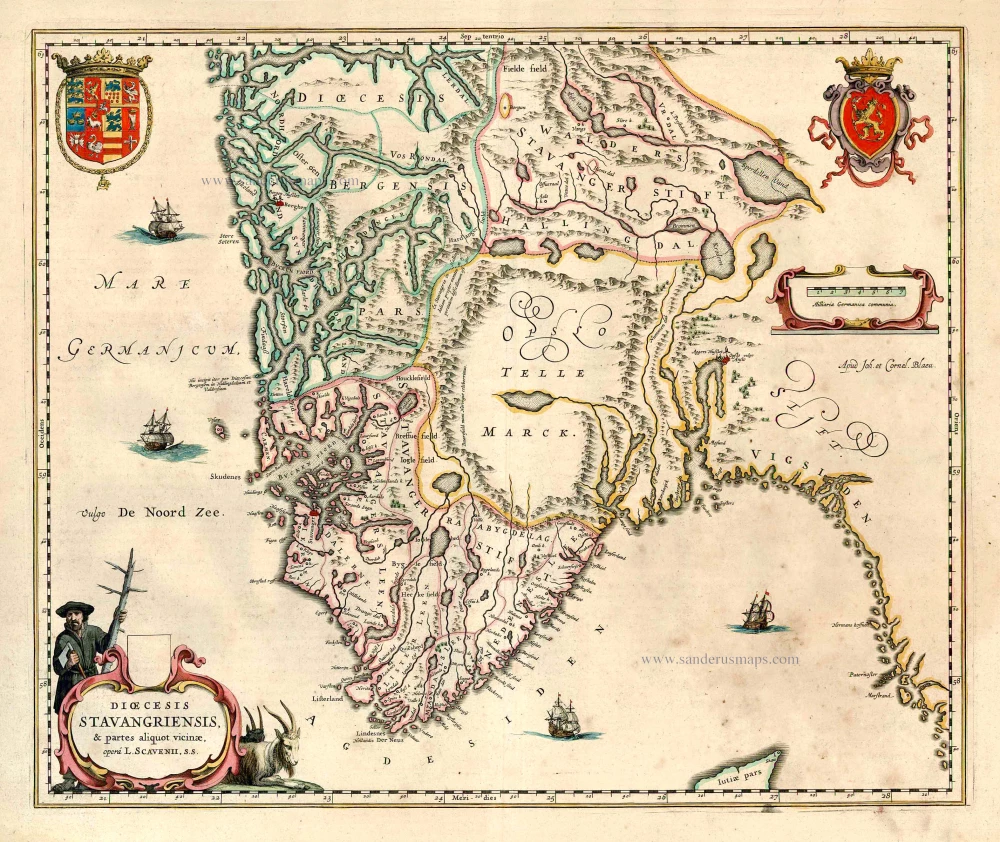
Dioecesis Stavangriensis, & partes aliquot vicinae, opera L. Scavenii, S.S. 1643-50
Norway - Stavanger, by Willem & Joan Blaeu.
[Item number: 27100]
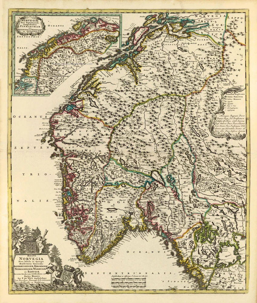
Regni Norvegia Nova Tabula in Quinque Praefecturas Generalis Aggerhusiensem, Bergensem, Nidrosiensem, Warhusiae, et Bahusiae. c. 1715
Norway by Frederik de Wit, published by Covens & Mortier.
[Item number: 28266]
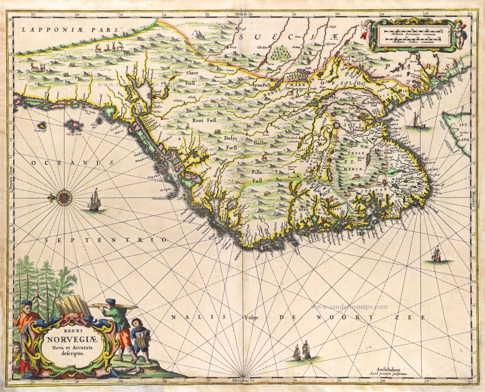
Regni Norvegiae. 1666
Norway by Joannes Janssonius.
[Item number: 29724]
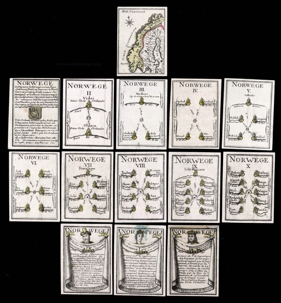
Extremely rare complete series.
Norwege. c. 1763
Norway, 14 playing cards, a complete series forming the Norway set, designed by Nicolas Jean Baptiste de Poilly, printed by Jean-Baptiste Mitoire.
[Item number: 30104]

Dioecesis Stavangriensis, & partes aliquot vicinae, opera L. Scavenii, S.S. 1659
Norway - Stavanger, by Willem & Joan Blaeu.
[Item number: 30208]
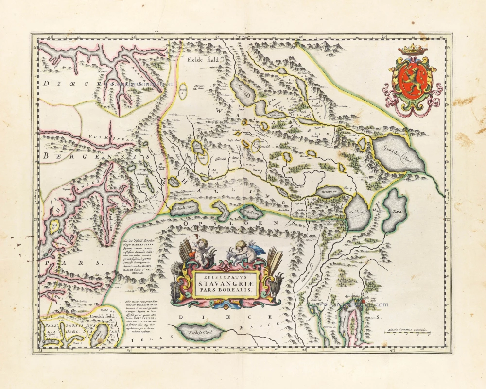
Episcopatus Stavangriae Pars Borealis. 1659
Northern Stavanger (Norway) by Joan Blaeu.
[Item number: 30209]