
Finland by Frederik De Wit. c. 1680

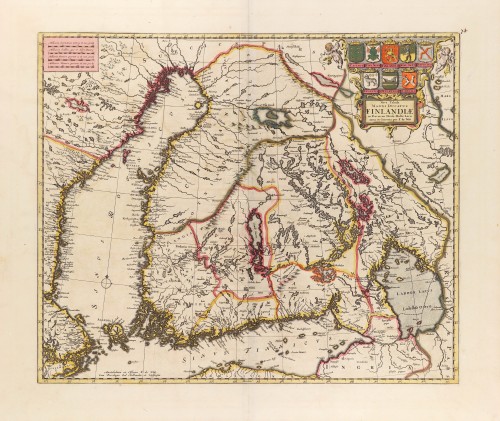

The map is based on the archetypal map of the Swede Anders Bure (Andreas Bureus). It is the first map to show the Grand-Duchy of Finland on its own. A remarkably beautiful cartouche displays the coat of arms of the Grand-Duchy of Finland and the seven provinces of the 17th century.
Frederick de Wit (1630-1706)
The engraver and map-seller, Frederick de Wit, was born in Gouda (Netherlands) in 1630 as a son of Hendrick Fredericksz de Wit. Through his marriage with Maria van der Waag of Amsterdam in 1661, he obtained citizenship of the city where he had been working since 1648 and where he became one of the most famous engravers of maps of the second half of the 17th century. Although De Wit was a Catholic, which meant that he was not favoured at the time by the city council, he was awarded the honour of being listed as one of the "excellent citizens" on the roll of the city council in the years 1694-1704. However, his name was not written in the Guild of St. Luke book before 1664. At that time, he lived on the Kalverstraat "in de Witte Pascaert", where he stayed until his death in 1706. His earliest dates on maps engraved are 1659 (Regni Daniae) and 1660 (World map).
Frederick de Wit published several world atlases, a sea atlas, and an atlas of the Netherlands.
The dating of the maps is difficult. However, as a privilege was granted in 1689, the annotation 'cum privilegio' marks an edition after 1688.
Around 1700, Frederick de Wit entered the market with a town atlas. He produced two volumes with a total of 260 plans and views. Most were printed from plates used for Janssonius and Blaeu town atlases.
After he died in 1706, his widow continued the shop until 1709. The plates and stock of De Wit's atlas were sold to Covens & Mortier in 1710, who sold the atlas for an extended period.
Nova Tabula Magni Ducatus Finlandiae.
Item Number: 28925 Authenticity Guarantee
Category: Antique maps > Europe > Northern Europe
Old, antique map of Finland by Frederik De Wit.
Title: Nova Tabula Magni Ducatus Finlandiae.
Amstelodami ex Officina F. de Witt
Cum Privilegio Ord Hollandiae et Westfrisiae.
Cartographer: F. de Wit.
Date of the first edition: 1662 (Blaeu).
Date of this map: c. 1680.
Copper engraving, printed on paper.
Map size: 435 x 525mm (17.13 x 20.67 inches).
Sheet size: 540 x 630mm (21.26 x 24.8 inches).
Verso: Blank.
Condition: Original coloured, excellent.
Condition Rating: A+.
From: Composite Atlas by F. De Wit, c. 1680.
The map is based on the archetypal map of the Swede Anders Bure (Andreas Bureus). It is the first map to show the Grand-Duchy of Finland on its own. A remarkably beautiful cartouche displays the coat of arms of the Grand-Duchy of Finland and the seven provinces of the 17th century.
Frederick de Wit (1630-1706)
The engraver and map-seller, Frederick de Wit, was born in Gouda (Netherlands) in 1630 as a son of Hendrick Fredericksz de Wit. Through his marriage with Maria van der Waag of Amsterdam in 1661, he obtained citizenship of the city where he had been working since 1648 and where he became one of the most famous engravers of maps of the second half of the 17th century. Although De Wit was a Catholic, which meant that he was not favoured at the time by the city council, he was awarded the honour of being listed as one of the "excellent citizens" on the roll of the city council in the years 1694-1704. However, his name was not written in the Guild of St. Luke book before 1664. At that time, he lived on the Kalverstraat "in de Witte Pascaert", where he stayed until his death in 1706. His earliest dates on maps engraved are 1659 (Regni Daniae) and 1660 (World map).
Frederick de Wit published several world atlases, a sea atlas, and an atlas of the Netherlands.
The dating of the maps is difficult. However, as a privilege was granted in 1689, the annotation 'cum privilegio' marks an edition after 1688.
Around 1700, Frederick de Wit entered the market with a town atlas. He produced two volumes with a total of 260 plans and views. Most were printed from plates used for Janssonius and Blaeu town atlases.
After he died in 1706, his widow continued the shop until 1709. The plates and stock of De Wit's atlas were sold to Covens & Mortier in 1710, who sold the atlas for an extended period.
Related items
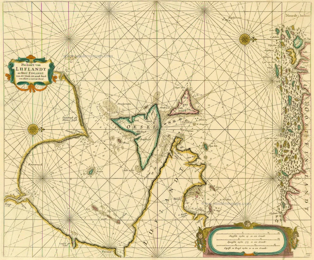
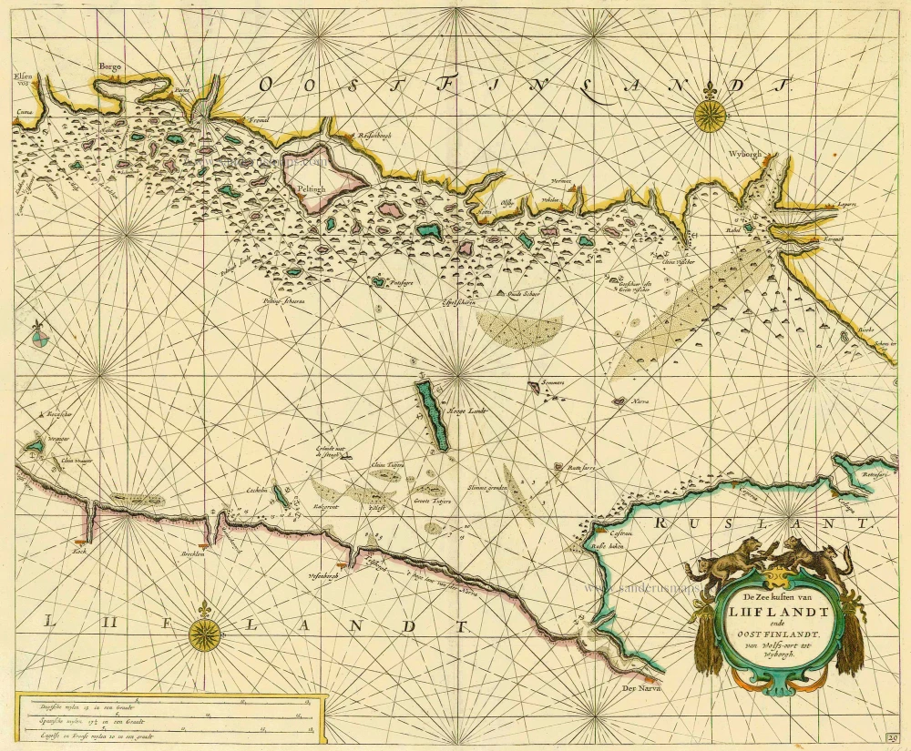
Pas kaart van Liiflandt en Oost Finlandt. van der Winda tot aende hoeck van Alant en voort tot Revel. 1686
Sea chart of the Gulf of Finland by Doncker
[Item number: 13660]
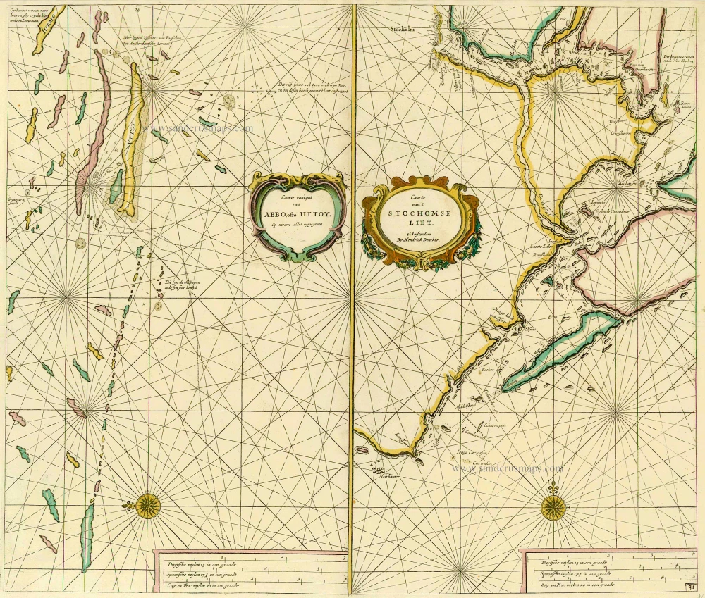
Caarte van 't gat van Abbo, ofte Uttoy. [on sheet with] Caarte van 't Stochomse Liet. 1686
Sea chart of Finland - Sweden, by Doncker H.
[Item number: 14593]
De Zee kusten van Liiflandt ende Oost Finlandt, van Wolfs-oort tot Wyborgh. 1686
Gulf of Finland, by Doncker H.
[Item number: 14610]
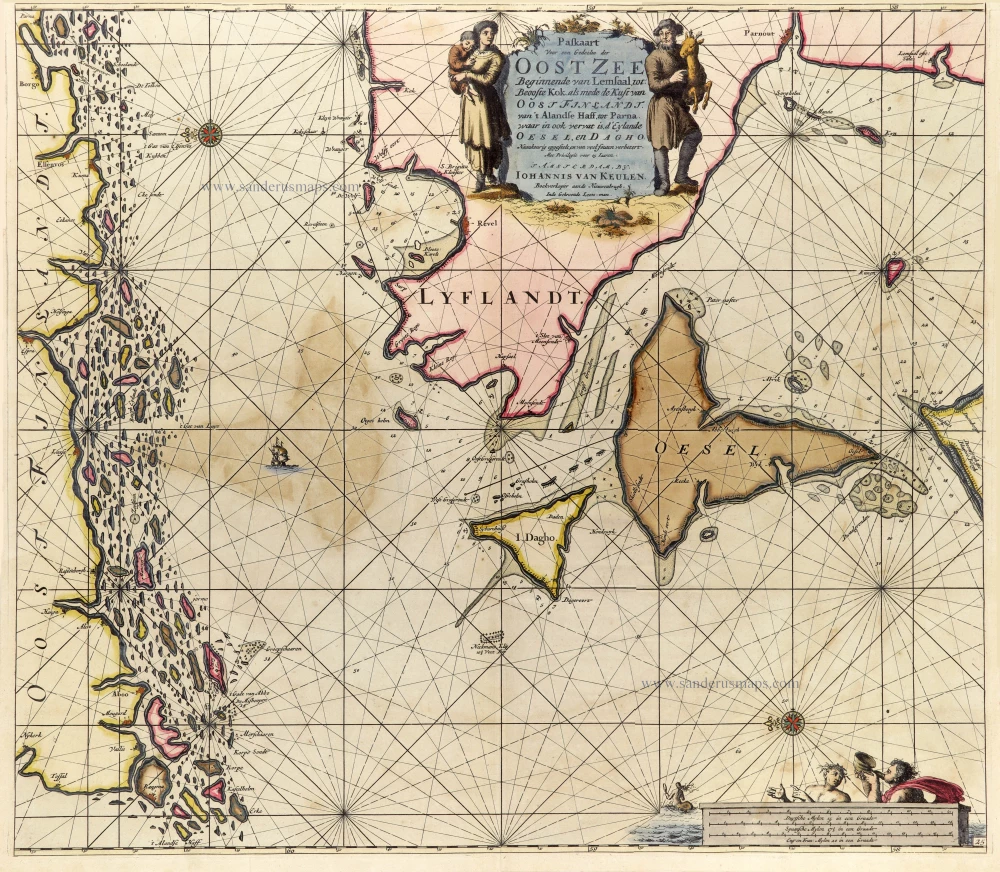
Paskaart voor een Gedeelte der Oost Zee Beginnende van Lemsaal, tot Beooste Kok als mede de Kust van Oost Finlandt. Van 't Alandse Haff, tot Parna, waar in ook vervat is, d' Eylande Oesel, en Dagho. 1697-1709
Finland - Estonia, by J. Van Keulen.
[Item number: 25288]
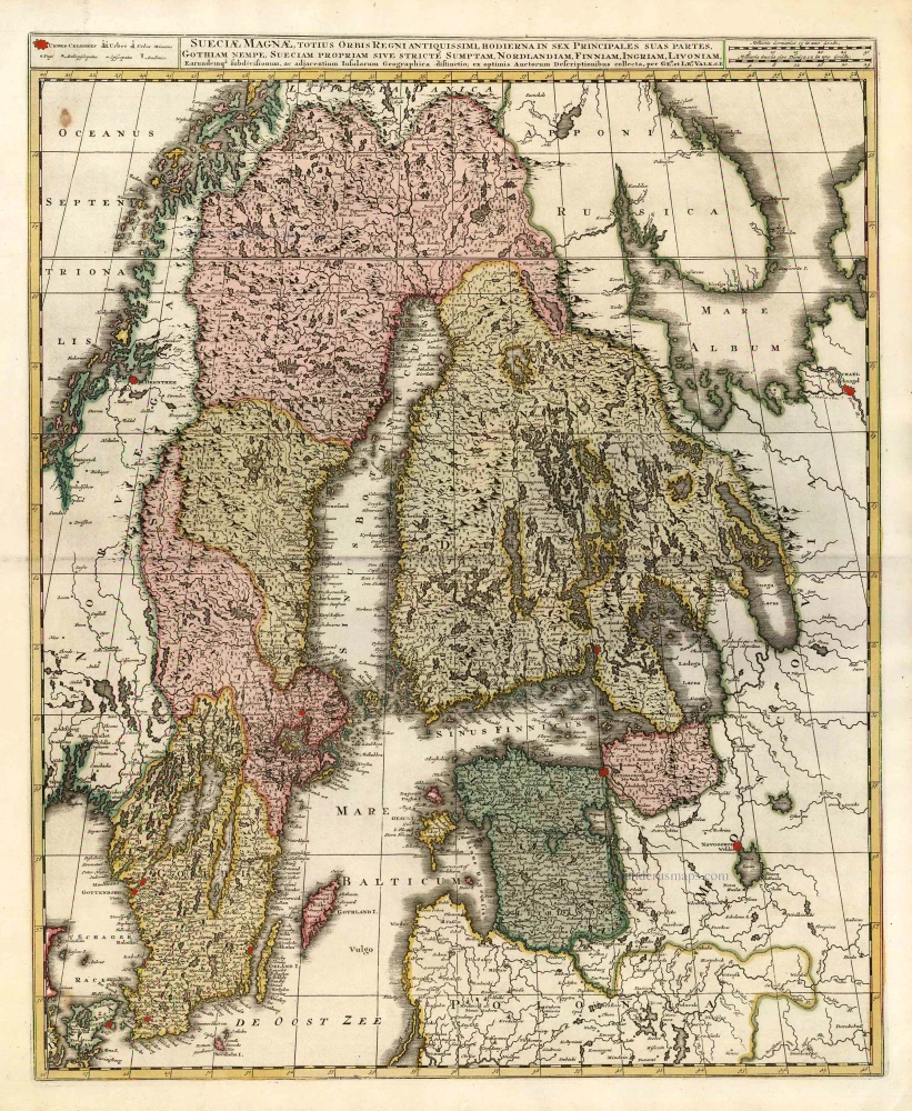
Sueciae Magnae, totius Orbis Regniantiquissimi, hodierna in sex Principales suas partes, Gothiam nempe, Sueciam propriam sive stricté Sumptam, Nordlandiam, Finniam, Ingriam, Livoniam, ... c. 1745
Finland, Sweden, Latvia, by Valk G. & L. - Ottens R. & I.
[Item number: 25846]

Regni Sueciae Tabula Generalis, divisa in Sueciae, Gotiae Regna Finniae Ducatum Lapponiam, Livoniam Nordlandiam Ingriam et in omnes subiacentes provincias. c. 1715
Finland & Sweden by Frederik de Wit, published by Covens & Mortier.
[Item number: 28267]
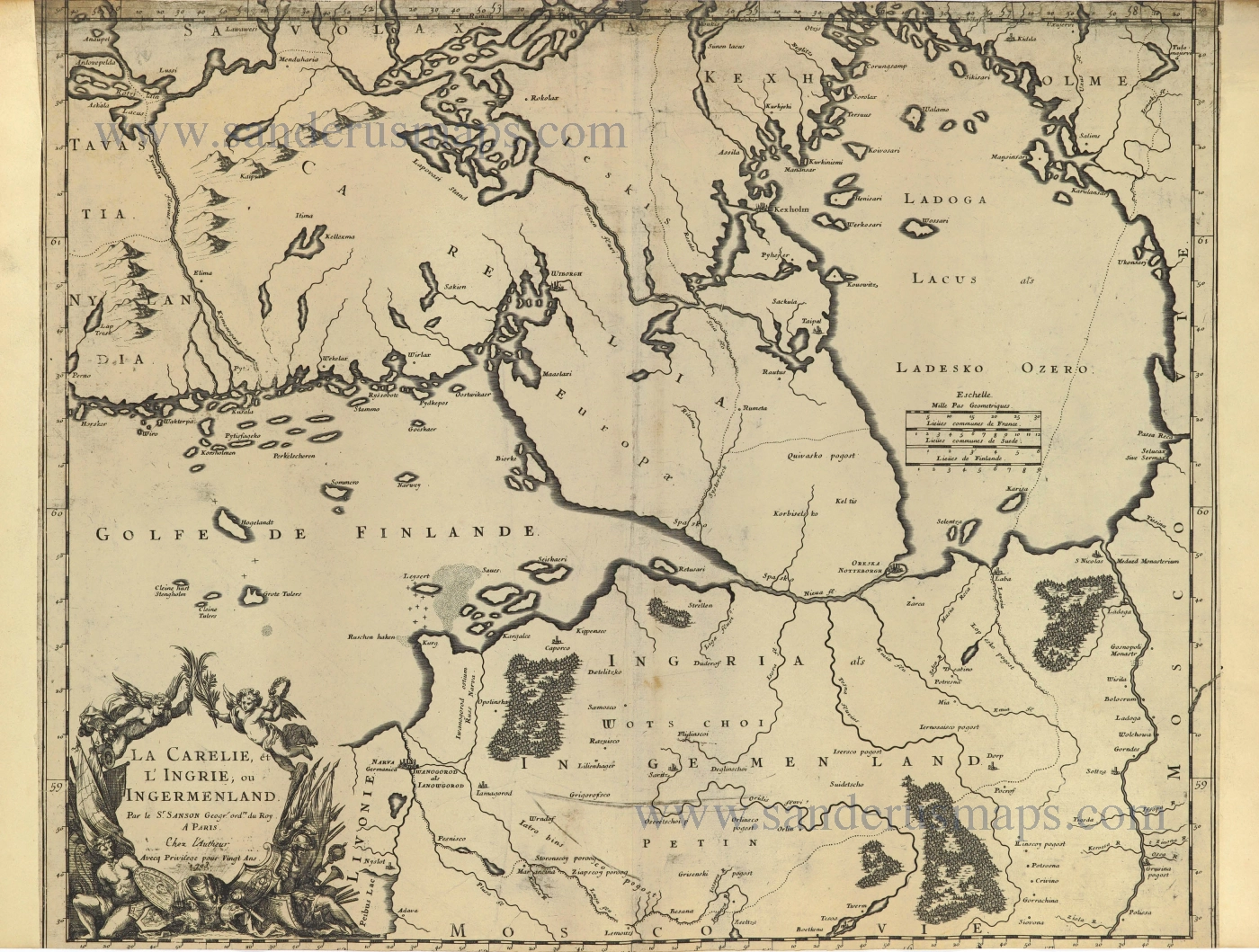
La Carelie, et l'Ingrie, ou Ingermenland. 1703
Finland and Estonia by Guillaume Sanson.
[Item number: 28500]