
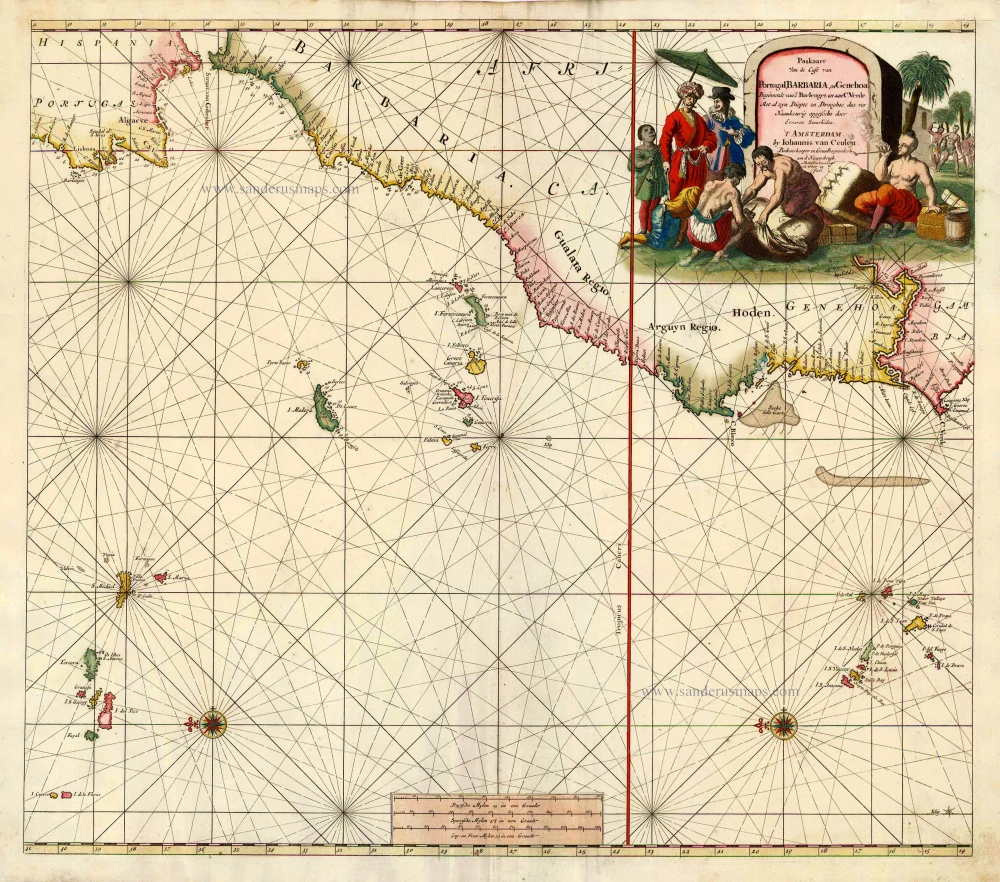
Sea chart of the northwest coast of Africa, with the Azores, Canary Islands and Cape Verde Islands, by Johannes Van Keulen. 1680-1694


The House of Van Keulen
For more than two centuries, the chart makers firm of Van Keulen was established in the house with the name of “De Gekroonde Lootsman” (The Crowned Pilot). In 1678, the founder of the firm, Johannes I Van Keulen (1634-1689), registered with the Amsterdam booksellers’ guild. He had enlisted the aid of the well-known Mathematical Practitioner Claas Janz Vooght in the preparation of his nautical publications. In 1680 he published the first edition of the Zee-Atlas with 40 charts, all issued for the first time. In the short period of four years, they produced the five volumes of the Nieuwe Groote Ligtende Zee-Fakkel (1681-85). His acquisition of the stock of the bookseller Hendrik Doncker was an essential factor in the development of the firm.
In 1678 a son, Gerard Van Keulen (1678-1726), was born out of Johannes’s first marriage. This son was endowed with talent. He was a skilful engraver and proficient in mathematics and navigational science. Gerard was responsible for establishing the scientific basis of the firm of Van Keulen. In 1714 he was appointed to the office of hydrographer to the Dutch East India Company. The Van Keulens remained chart makers to the East India Company until the Company’s liquidation.
With the introductions to the Zee-Fakkel and Zee-Atlas, Gerard van Keulen gave a new impetus to the firm. Unfortunately, he did not live long, dying when he was 49. The business was carried on by his widow Ludwina Konst. Shortly before Gerard’s death, his son Johannes II had entered the bookseller’s guild, and in 1726 he assumed the management of the firm, though his mother retained her financial interests in the business.
Johannes II Van Keulen (1704-1755) is known in particular for his publication in 1753 of a sixth volume of the Zee-Fakkel, the volume containing the charts of the route to the East Indies.
Johannes II had two sons; they joined the firm as partners in 1757. A considerable number of books appeared in the period 1778-1801. New issues of the Zee-Fakkel again saw the light. The firm flourished under different names until 1885.
Paskaart van de Cust van Portugal, Barbaria, en Genehoa Beginnende van d'Barlengers tot aan C. Verde.
Item Number: 26808 Authenticity Guarantee
Category: Antique maps > Africa
Old, antique sea chart of the northwest coast of Africa with the Azores, Canary Islands and Cape Verde Islands, by Johannes Van Keulen.
Oriented to the east.
Early state, without the later added engraved number 33.
Date of the first edition: 1680
Date of this map: 1680-1692
Copper engraving, printed on paper.
Size (not including margins): 51 x 57cm (19.9 x 22.2 inches)
Verso: Blank
Condition: Original coloured, small reinforcement at the back.
Condition Rating: A
References: Koeman, Keu (22).
From: De Groote Nieuwe Vermeerderde Zee-Atlas ofte Water-Werelt. ... Amsterdam, J. Van Keulen, 1680-1692. (Koeman, Keu2-18).
The House of Van Keulen
For more than two centuries, the chart makers firm of Van Keulen was established in the house with the name of “De Gekroonde Lootsman” (The Crowned Pilot). In 1678, the founder of the firm, Johannes I Van Keulen (1634-1689), registered with the Amsterdam booksellers’ guild. He had enlisted the aid of the well-known Mathematical Practitioner Claas Janz Vooght in the preparation of his nautical publications. In 1680 he published the first edition of the Zee-Atlas with 40 charts, all issued for the first time. In the short period of four years, they produced the five volumes of the Nieuwe Groote Ligtende Zee-Fakkel (1681-85). His acquisition of the stock of the bookseller Hendrik Doncker was an essential factor in the development of the firm.
In 1678 a son, Gerard Van Keulen (1678-1726), was born out of Johannes’s first marriage. This son was endowed with talent. He was a skilful engraver and proficient in mathematics and navigational science. Gerard was responsible for establishing the scientific basis of the firm of Van Keulen. In 1714 he was appointed to the office of hydrographer to the Dutch East India Company. The Van Keulens remained chart makers to the East India Company until the Company’s liquidation.
With the introductions to the Zee-Fakkel and Zee-Atlas, Gerard van Keulen gave a new impetus to the firm. Unfortunately, he did not live long, dying when he was 49. The business was carried on by his widow Ludwina Konst. Shortly before Gerard’s death, his son Johannes II had entered the bookseller’s guild, and in 1726 he assumed the management of the firm, though his mother retained her financial interests in the business.
Johannes II Van Keulen (1704-1755) is known in particular for his publication in 1753 of a sixth volume of the Zee-Fakkel, the volume containing the charts of the route to the East Indies.
Johannes II had two sons; they joined the firm as partners in 1757. A considerable number of books appeared in the period 1778-1801. New issues of the Zee-Fakkel again saw the light. The firm flourished under different names until 1885.
Related items
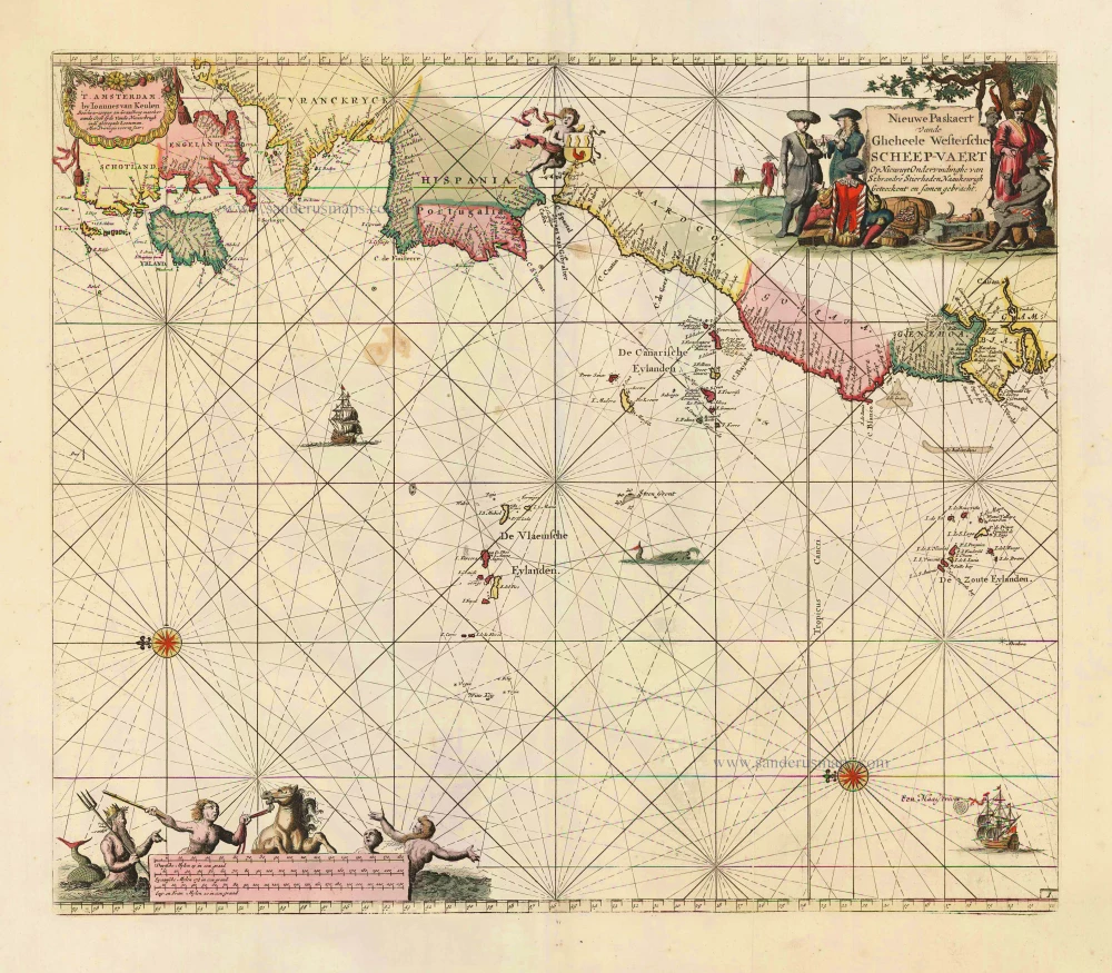
Nieuwe Paskaert vande Gheheele Westersche Scheep-Vaert, op Nieus uyt Ondervindinghe van Schrandre Stierlieden Naaukeurigh Geteeckent en Samen Gebracht. 1697-1709
The Atlantic Ocean, by J. Van Keulen.
[Item number: 11218]

Nieuwe Pascaert van Alle de Vlaemse Eylanden 1681
The Azores, by Johannes Van Keulen.
[Item number: 12094]
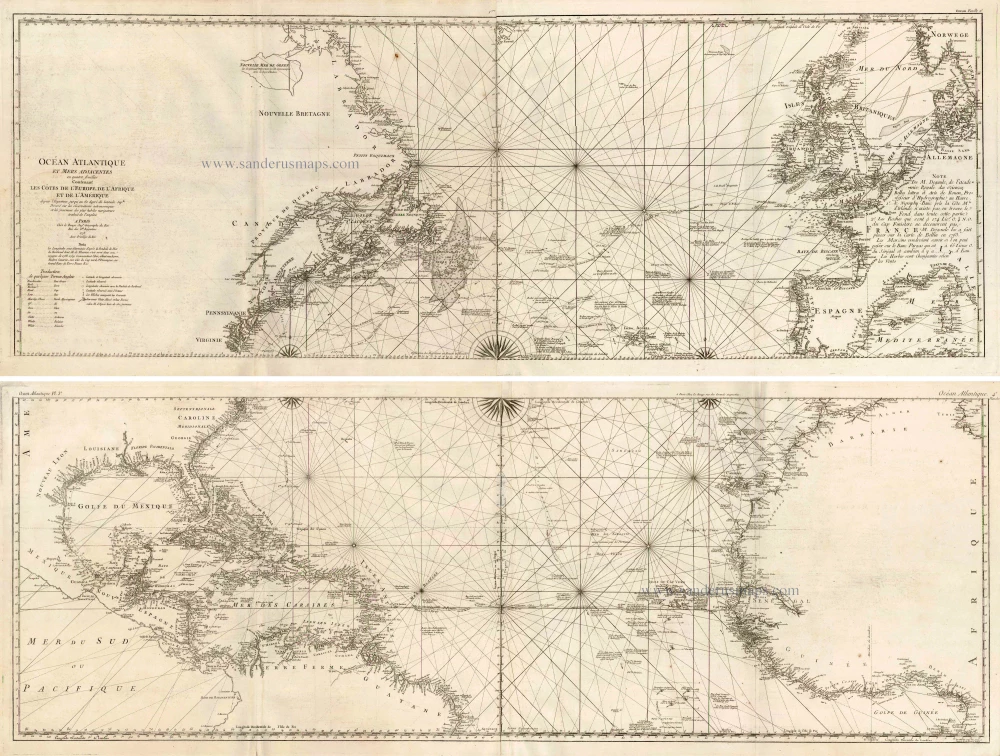
Ocean Atlantique et Mers Adjacentes en Quatre Feuilles Contenant les Cotes de l'Europe, de l'Afrique et de l'Amerique ... 1778
The Atlantic Ocean, by G.L. Le Rouge.
[Item number: 14086]

The first sea chart - wall map - relating to North America to use the Mercator projection
West-Indische Paskaert waer in de graden der breedde over wederzijden vande middellijn wassende so vergrooten dat die geproportioneert sijn tegen hunne nevenstaende graden der lengde; ... c. 1680
Atlantic Ocean. by P. Goos - J. Van Keulen
[Item number: 25938]

Carte Reduite des Costes Occidentales d'Afrique ... et les Isles Canaries. 1756-1770
Canary Islands - Madeira , by J.N. Bellin.
[Item number: 28116]

Isole Canarie / Isola di Madero / Veduta della Citta di Fanchal. 1696
Three maps on one sheet: Isole Canarie and two curtained inset maps: Isole Madera, and Veduta della Citta di Fanchal.
[Item number: 28929]

Açores Insulae. 1612
Azores, by Abraham Ortelius.
[Item number: 29890]
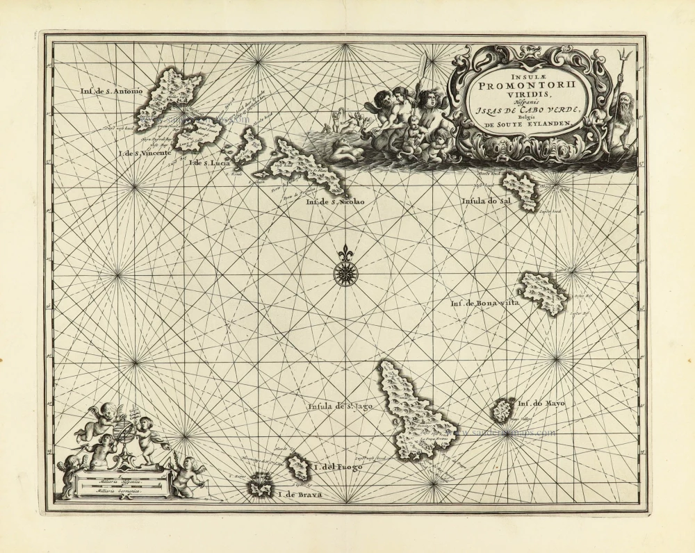
Insulae Promotorii viridis Hispanis - Illas de Cabo Verde, Belgis De Soute Eylanden. 1668
Cape Verde Islands by Dapper O.
[Item number: 30938]

Tercera. 1618
Azores - Terceira, by Petrus Bertius.
[Item number: 32327]

Luxury colouring with gold
De Cust van Barbaria, Gualata, Arguyn, en Genheo, van Capo S. Vicente tot Capo Verde 1666
North-West African Coast by Pieter Goos.
[Item number: 33067]
new