
The Southern Atlantic Ocean and West Southern Africa, by J.H. van Linschoten. 1596
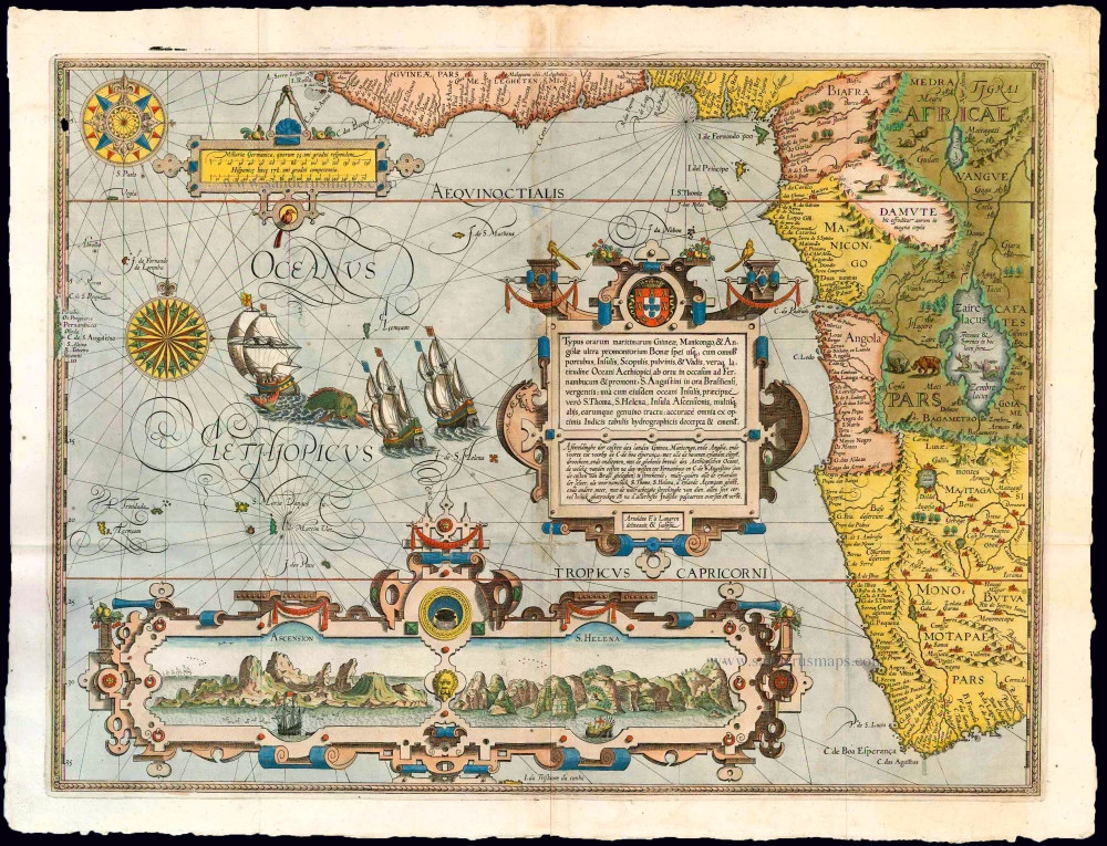


Along the upper edge and the right side, the coast of West Africa is shown from Sierra Leone to the Cape of Good Hope and beyond to the Rio do infante. In the interior, one sees Lake Zaire (Zaire lacus), from which the Nile (Nilus fluvius) flows northward, and the Zaire (named Rio de Manicongo and R. de Congo) flows to the west. Two mermaids are drawn in the lake. Further to the north lies the Niger lacus, from which the Niger (Niger fluvius) flows northward. The coast of Brazil can be made out on the left edge of the map, where the C. de S. Augustino and Pernambuco can be distinguished. The island of Tristan da Cunha (I. da Tristaom da Cunha) marks the southern border of the map sheet. On both sides, a scale of degrees is placed along the edge; the one on the left gives the parallels at a distance of 5°.
Three scrollwork cartouches are placed in the Southern Atlantic Ocean (OCEANUS AETHIOPICUS). The one in the middle, decorated with the coat of arms of Portugal on top, contains the title in Latin and Dutch and the engraver's name. The titles give a brief description of the territory depicted on the map (in translation): "Illustration of the coasts of the lands of Guinea, Manicongo, Angola, and down beyond the Cape of Good Hope, with all the harbours, islands, cliffs, dry parts and shallows, with the whole width of the Ethiopian Ocean, extending from East to West to Pernambuco and Cape St. Augustine (on the coast of Brazil): likewise of all the islands of the same, the main ones being St. Thomas, St. Helena, and Ascension Island, and the rest, with the true extent of each, all very accurately indicated, revised and improved following the very best Indian maps'.
A smaller cartouche shows the scale bars in Dutch and Spanish miles. By far, most of the southern part of the ocean is taken up by an elongated cartouche incorporating views of the islands of Ascension and St. Helena. Any space left between the cartouches and the islands depicted here, the water's surface is enlivened with two elegantly engraved compass roses, a sea monster, and three Portuguese vessels under sail. The entire artistic composition and production of the map, the work of the engraver Arnold Floris van Langren, makes this one of the most beautiful examples of Dutch engraving produced at the end of the sixteenth century.
The detailed representation of the interior of Africa defines this map as both a terrestrial map and a sea chart. According to the title, the content is 'in accordance with the best Indian maps'.
The views of the islands of Ascension and St. Helena were copied from prints. The original drawings on which they were based were made by Van Linschoten, who brought them back from Goa on his voyage of 1589. Baptista van Doetecum then engraved these for the Itinerario. For the chart, Van Doetecum selected the central profile on the Ascension print, while the lower profile of the St. Helena print was used to embellish the chart. The harbour of St. Helena, in particular, was a preferred provisioning place and meeting point for ships returning from the East.
The five detail maps of Van Linschoten's Itinerario, all of which were engraved by Arnold Floris and Hendrik Floris van Langren, cover a large proportion of the non-European world known at the time.
Jan Huygen van Linschoten (1562-c.1611)
Jan Huygen van Linschoten was one of the pathfinders for the first Dutch voyages to the East. Born in Haarlem, his parents moved to Enkhuizen in or after 1572 for political and religious reasons. In 1579 he left for Spain, where his older brothers had already been living for several years. In 1583, Jan Huygen set sail with a fleet heading for Goa in India. There he entered the service of the new archbishop.
The years that Jan Huygen spent in Goa, the administrative centre of Portugal’s widespread colonial territory in the East, provided an excellent opportunity to collect a wealth of information. Ships from all directions came into port here, and he could inform himself on the patterns of trade and the economic opportunities to China and Japan. In the foreword to his Itinerario (1596), Jan Huygen refers to the fact that he could not help but take note of everything. For instance, during his six-year sojourn in Goa, he also drew a bird’s eye view of this city, which he included in the Itinerario. He also gave ample attention to the Portuguese sailing routes to, from, and within Asian waters.
In November 1588 he came back home with the pepper ship Santa Cruz. He interrupted this voyage after an eventful journey and spent two years on the island of Terceira. In 1592 he arrived back in Enkhuizen. With his writings, drawings, and tales, he captured the attention of the town, and people encouraged him to publish the report of his journey.
While preparations for the publication of the Itinerario were in full swing, Jan Huygen took part in the first two polar expeditions as a chief commercial officer on the ships fitted out by Enkhuizen.
After these voyages, Jan Huygen stayed on land. He married with Reynu Meinertsdr Semeyns, daughter of one of Enkhuizen’s regent families. Thanks to his in-laws, he subsequently occupied various positions in the city’s civil administration until he died in 1611.
Jan Huygen van Linschoten and his Itinerario (1595-96).
By the time Jan Huygen returned from India, commercial and scientific circles in the Northern Netherlands were strongly motivated to learn more about overseas territories. He came in contact with the Amsterdam publisher Cornelis Claesz, who had been the publisher of Waghenaer’s cartographic work since 1589. Claesz showed great interest in Van Linschoten’s plans. He realized that on the threshold of a new era, cartographic and maritime works would be in high demand in circles of navigators, merchants, and other interested parties. Van Linschoten’s work could also serve as a guide to unknown territories.
On 14 March 1594, shortly before leaving northbound, Van Linschoten and Claesz signed a contract to print a book on navigation to the East Indies. By the end of this year, the States General granted Jan Huygen a ten-year privilege on the publication of his Itinerario and Reysgeschrift.
The volume published under the title Itinerario would include Van Linschoten’s travel account, supplemented by further information on the peoples, flora, and fauna of the Asian territories. Cornelis Claesz expanded the work and gave some attention to the west coast of Africa and also to America, a territory completely unknown to Van Linschoten. Because Jan Huygen had never been in these areas himself, Bernardus Paludanus was called in to help out. With the aid of Portuguese and Spanish sources, Paludanus and Van Linschoten made a compendium entitled Beschryvinghe van de gantsche Custe van Guinea.
The result of all this was a set of four different and distinctly separate individuals works. Each work has its own title page, its own date of publication, and a dedication. These four parts are usually bound in a single volume, with the Itinerario coming first. Therefore, the contents of the whole work are generally referred to by that name.
The Van Doetecum brothers engraved Jan Huygens drawings. Joannes van Doetecum had already engraved the world map of Petrus Plancius in 1594. Cornelis Claesz included this map in some copies of the 1596-99 editions. Still, in some copies, it was replaced by a map by Joan Baptista Vrients, engraved by the Van Langren brothers. The five detail maps, all of which were engraved by Arnold Floris and Hendrik Floris van Langren, cover a large proportion of the non-European world known at the time.
Jan Huygen van Linschoten’s Itinerarium was one of the most impressive works to be published at the end of the sixteenth century. The report of his northern travels appeared a couple of years later.
Typus orarum maritimarum Guineae, Manicongo, & Angolae ... / Afbeeldinghe der custen des landts Guinea, ende Angola, ende voorts tot voorby de C. de boa esperança, ...
Item Number: 26586 Authenticity Guarantee
Category: Antique maps > Africa
Old, antique map of The Southern Atlantic Ocean and West Southern Africa, by J.H. van Linschoten.
Title: Typus orarum maritimarum Guineae, Manicongo, & Angolae ... / Afbeeldinghe der custen des landts Guinea, ende Angola, ende voorts tot voorby de C. de boa esperança, ...
Cartographer: Petrus Plancius.
Date of the first edition: 1596.
Date of this map: 1596.
Copper engraving, printed on paper.
Map size: 385 x 525mm (15.16 x 20.67 inches).
Sheet size: 440 x 570mm (17.32 x 22.44 inches).
Verso: Blank.
Condition: Original coloured, printed on heavy paper, 3 small reinforcements at folds, light discolouration along centrefold. Folds as issued.
Condition Rating: A+.
Along the upper edge and the right side, the coast of West Africa is shown from Sierra Leone to the Cape of Good Hope and beyond to the Rio do infante. In the interior, one sees Lake Zaire (Zaire lacus), from which the Nile (Nilus fluvius) flows northward, and the Zaire (named Rio de Manicongo and R. de Congo) flows to the west. Two mermaids are drawn in the lake. Further to the north lies the Niger lacus, from which the Niger (Niger fluvius) flows northward. The coast of Brazil can be made out on the left edge of the map, where the C. de S. Augustino and Pernambuco can be distinguished. The island of Tristan da Cunha (I. da Tristaom da Cunha) marks the southern border of the map sheet. On both sides, a scale of degrees is placed along the edge; the one on the left gives the parallels at a distance of 5°.
Three scrollwork cartouches are placed in the Southern Atlantic Ocean (OCEANUS AETHIOPICUS). The one in the middle, decorated with the coat of arms of Portugal on top, contains the title in Latin and Dutch and the engraver's name. The titles give a brief description of the territory depicted on the map (in translation): "Illustration of the coasts of the lands of Guinea, Manicongo, Angola, and down beyond the Cape of Good Hope, with all the harbours, islands, cliffs, dry parts and shallows, with the whole width of the Ethiopian Ocean, extending from East to West to Pernambuco and Cape St. Augustine (on the coast of Brazil): likewise of all the islands of the same, the main ones being St. Thomas, St. Helena, and Ascension Island, and the rest, with the true extent of each, all very accurately indicated, revised and improved following the very best Indian maps'.
A smaller cartouche shows the scale bars in Dutch and Spanish miles. By far, most of the southern part of the ocean is taken up by an elongated cartouche incorporating views of the islands of Ascension and St. Helena. Any space left between the cartouches and the islands depicted here, the water's surface is enlivened with two elegantly engraved compass roses, a sea monster, and three Portuguese vessels under sail. The entire artistic composition and production of the map, the work of the engraver Arnold Floris van Langren, makes this one of the most beautiful examples of Dutch engraving produced at the end of the sixteenth century.
The detailed representation of the interior of Africa defines this map as both a terrestrial map and a sea chart. According to the title, the content is 'in accordance with the best Indian maps'.
The views of the islands of Ascension and St. Helena were copied from prints. The original drawings on which they were based were made by Van Linschoten, who brought them back from Goa on his voyage of 1589. Baptista van Doetecum then engraved these for the Itinerario. For the chart, Van Doetecum selected the central profile on the Ascension print, while the lower profile of the St. Helena print was used to embellish the chart. The harbour of St. Helena, in particular, was a preferred provisioning place and meeting point for ships returning from the East.
The five detail maps of Van Linschoten's Itinerario, all of which were engraved by Arnold Floris and Hendrik Floris van Langren, cover a large proportion of the non-European world known at the time.
Jan Huygen van Linschoten (1562-c.1611)
Jan Huygen van Linschoten was one of the pathfinders for the first Dutch voyages to the East. Born in Haarlem, his parents moved to Enkhuizen in or after 1572 for political and religious reasons. In 1579 he left for Spain, where his older brothers had already been living for several years. In 1583, Jan Huygen set sail with a fleet heading for Goa in India. There he entered the service of the new archbishop.
The years that Jan Huygen spent in Goa, the administrative centre of Portugal’s widespread colonial territory in the East, provided an excellent opportunity to collect a wealth of information. Ships from all directions came into port here, and he could inform himself on the patterns of trade and the economic opportunities to China and Japan. In the foreword to his Itinerario (1596), Jan Huygen refers to the fact that he could not help but take note of everything. For instance, during his six-year sojourn in Goa, he also drew a bird’s eye view of this city, which he included in the Itinerario. He also gave ample attention to the Portuguese sailing routes to, from, and within Asian waters.
In November 1588 he came back home with the pepper ship Santa Cruz. He interrupted this voyage after an eventful journey and spent two years on the island of Terceira. In 1592 he arrived back in Enkhuizen. With his writings, drawings, and tales, he captured the attention of the town, and people encouraged him to publish the report of his journey.
While preparations for the publication of the Itinerario were in full swing, Jan Huygen took part in the first two polar expeditions as a chief commercial officer on the ships fitted out by Enkhuizen.
After these voyages, Jan Huygen stayed on land. He married with Reynu Meinertsdr Semeyns, daughter of one of Enkhuizen’s regent families. Thanks to his in-laws, he subsequently occupied various positions in the city’s civil administration until he died in 1611.
Jan Huygen van Linschoten and his Itinerario (1595-96).
By the time Jan Huygen returned from India, commercial and scientific circles in the Northern Netherlands were strongly motivated to learn more about overseas territories. He came in contact with the Amsterdam publisher Cornelis Claesz, who had been the publisher of Waghenaer’s cartographic work since 1589. Claesz showed great interest in Van Linschoten’s plans. He realized that on the threshold of a new era, cartographic and maritime works would be in high demand in circles of navigators, merchants, and other interested parties. Van Linschoten’s work could also serve as a guide to unknown territories.
On 14 March 1594, shortly before leaving northbound, Van Linschoten and Claesz signed a contract to print a book on navigation to the East Indies. By the end of this year, the States General granted Jan Huygen a ten-year privilege on the publication of his Itinerario and Reysgeschrift.
The volume published under the title Itinerario would include Van Linschoten’s travel account, supplemented by further information on the peoples, flora, and fauna of the Asian territories. Cornelis Claesz expanded the work and gave some attention to the west coast of Africa and also to America, a territory completely unknown to Van Linschoten. Because Jan Huygen had never been in these areas himself, Bernardus Paludanus was called in to help out. With the aid of Portuguese and Spanish sources, Paludanus and Van Linschoten made a compendium entitled Beschryvinghe van de gantsche Custe van Guinea.
The result of all this was a set of four different and distinctly separate individuals works. Each work has its own title page, its own date of publication, and a dedication. These four parts are usually bound in a single volume, with the Itinerario coming first. Therefore, the contents of the whole work are generally referred to by that name.
The Van Doetecum brothers engraved Jan Huygens drawings. Joannes van Doetecum had already engraved the world map of Petrus Plancius in 1594. Cornelis Claesz included this map in some copies of the 1596-99 editions. Still, in some copies, it was replaced by a map by Joan Baptista Vrients, engraved by the Van Langren brothers. The five detail maps, all of which were engraved by Arnold Floris and Hendrik Floris van Langren, cover a large proportion of the non-European world known at the time.
Jan Huygen van Linschoten’s Itinerarium was one of the most impressive works to be published at the end of the sixteenth century. The report of his northern travels appeared a couple of years later.
Related items
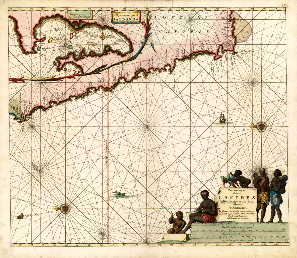
Pascaert van de Costa de Caffres, tusschen Cabo Negro en Cabo de Bona Esperanca. 1683
South Africa, by Johannes Van Keulen.
[Item number: 10082]
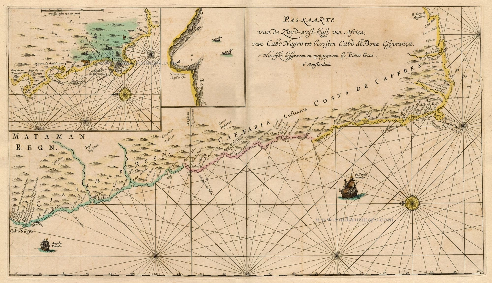
Pas-Kaarte van de Zuyd-West-Kust van Afrika; van Cabo Negro tot Beoosten Cabo de Bona Esperanca 1667
Sea chart of South-West African Coast, by Pieter Goos.
[Item number: 19073]
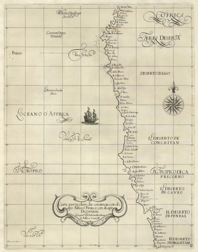
Carta particolare che comincia con il capo Aldea è Finisce con il capo Degortam . . . di Affrica Carta X. 1646-47
The Southwest Coast of Africa, by Sir Robert Dudley.
[Item number: 19843]

Aethiopia Inferior vel Exterior Monomotapa. 1638
Southern Africa, by M. Merian.
[Item number: 25907]
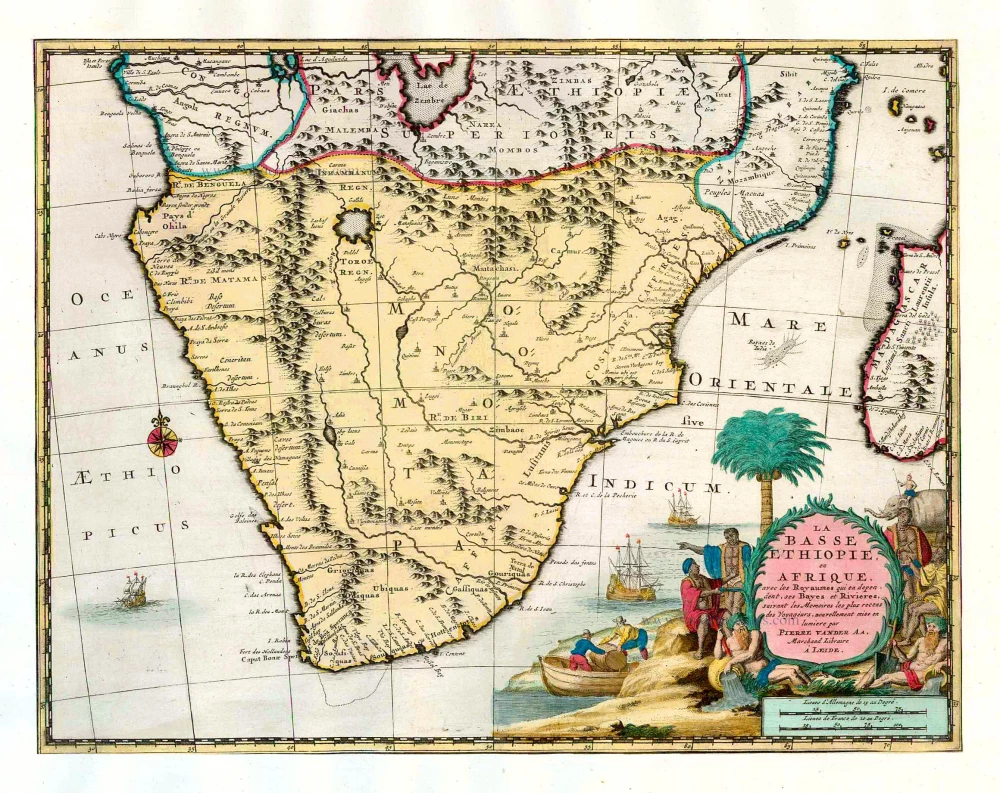
La Basse Ethiopie, en Afrique, avec les Royaumes qui en dependent, ses Bayes et Rivieres. 1713
Southern Africa, by Pieter van der Aa.
[Item number: 26158]
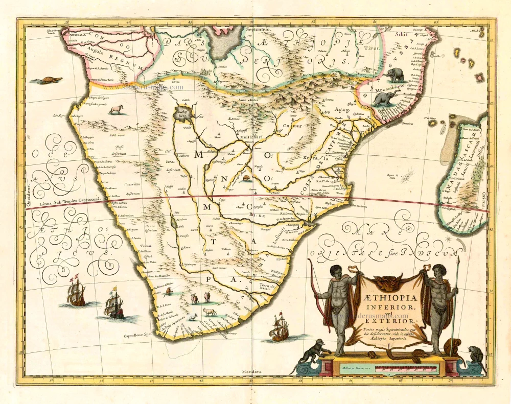
Aethiopia Inferior, vel Exterior. 1641
Johannes Janssonius, Southern Africa.
[Item number: 26450]
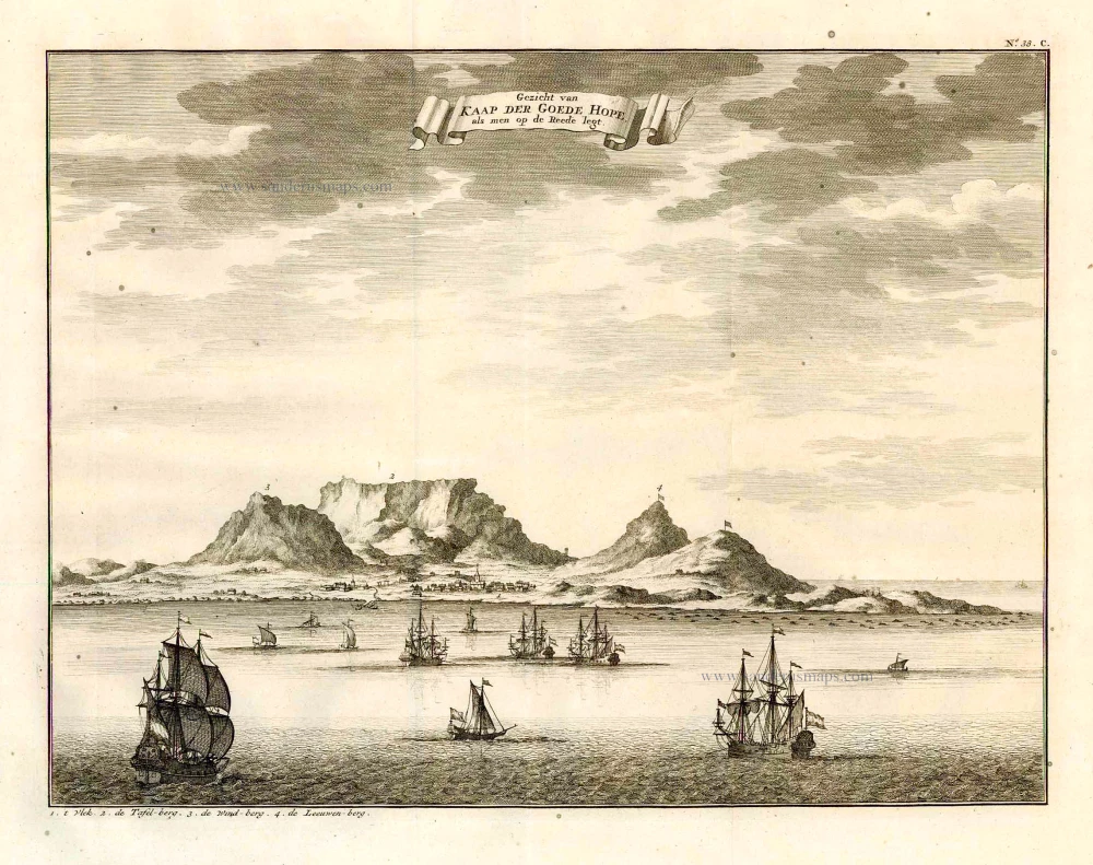
Gezicht van Kaap der Goede Hope, als men op de Reede legt. 1724-26
Cape of Good Hope by François Valentyn (Valentijn)
[Item number: 26879]