
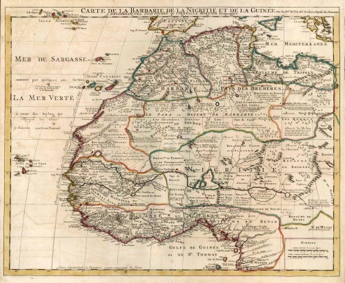
Old antique map of North-West Africa by G. de L Isle - P. Mortier. c. 1700.
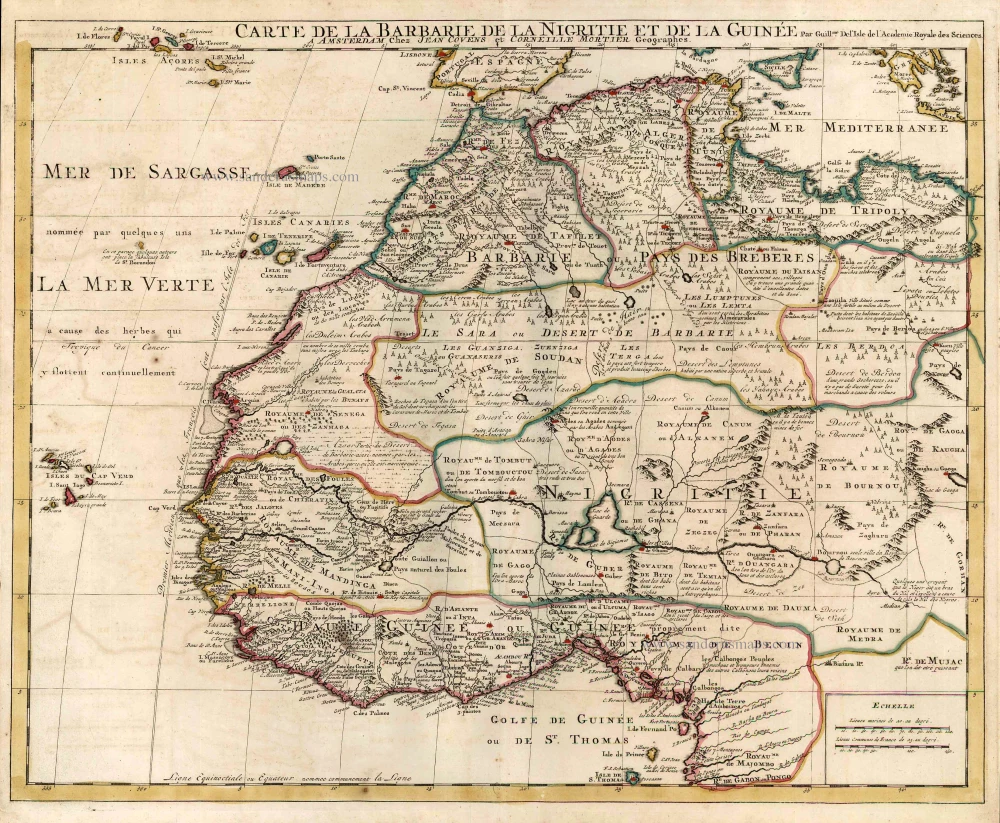

Guillaume de l'Isle was a French publisher and Geographer to the King in 1718. From an early age de l'Isle made a scientific study of geography, which he was determined to reconstitute on a new basis. His 'Mappemonde', maps of Africa, Europe and Asia, were based on the most recent astronomie and geographic studies and were so highly regarded that de l'Isle had since been hailed as the principal creator of the modern system of geography. He published more than a hundred maps. In this map he corrects his previous impression of the Senegal river which, in earlier maps, he joined to the Nile by a hypothetical line. He now records the Niger as an 'arm of the Nile'.
Covens & Mortier. A Map Publishing House in Amsterdam. 1721-1866.
During almost two centuries, the largest and most important Dutch publishing house in commercial cartography was the Amsterdam firm of Covens & Mortier. Concerning quantity, it was possibly even the biggest contemporary map-trading house worldwide. They distributed innumerable maps, atlases, globes, and books.
Pieter (Pierre) Mortier (Leiden, 1661 – Amsterdam, 1711)
Nothing is known about the youth of Pieter Mortier. He studied in Paris from 1681 to approximately 1685. There he must have come into contact with French 'libraires' and learned the bookselling trade. Beginning 1685 he returned to Amsterdam where he opened a small bookshop. In the same year, he became a member of the Book, Art Sellers' and Printers' guild.
Pieter sold books in Dutch and foreign languages, but he also published books on his own, usually in the French language. His business flourished such that in 1688 he was already forced to rent another house on the Vijgendam.
Pieter Mortier's first privilege for maps was granted by the States of Holland and West Friesland on September 15 1690. It refers to the maps of Sanson that he 'is printing and correcting with great pains and care'.
Pieter began the large scale publication of maps and atlases. By the beginning of the 18th century, Pieter had become so wealthy that he could purchase three houses in Amsterdam: on the Beurssluis, on the Vijgendam, and the Heremietensteeg. He rebuilt the house on the Vijgendam into a large prestigious house that would serve for over a century as a shop, business, and residential structure for Covens & Mortier's publishing house.
He died on February 13, 1711, after a brief illness. The company continued to exist under Pieter's widow's management, Amelia' s-Gravesande.
After she died in 1719, her son Cornelis, took over the management for a few years.
On November 20, 1721, a company was founded by Cornelis Mortier and Johannes Covens I. The latter was married the same year with Cornelis's sister. From that year on, the name of :
Covens & Mortier.
Their firm would see a massive expansion in the next 140 years. In 1732 the heirs sold the property to their brother Cornelis and his partner Covens. Their main competitors were Reinier & Josua Ottens and Gerard Valck & Petrus Schenck. After the death of Johannes Covens I (1774), his son Johannes Covens II (1722-1794) entered the business. From 1778, Johannes added a new company name :
J. Covens & Son.
Johannes Covens II was succeeded by his son Cornelis Covens (1764-1825), who, in turn, brought Peter Mortier IV, the great-grandson of Petrus Mortier I, into the business. The name was from 1794 to 1866:
Mortier, Covens & Son.
The last Covens in the series was Cornelis Johannes Covens (1806-1880).
Covens & Mortier had a large stock of atlases and maps, including those of: Delisle, Jaillot, Johannes Janssonius, Sanson, Claes Jansz. Visscher, Nicolaas Visscher, and Frederik de Wit. For decades, an impressive number of atlases came from the press.
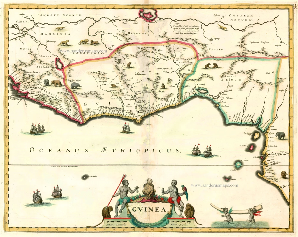
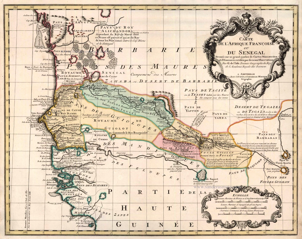
Carte de la Barbarie de la Nigritie et de la Guinee.
Item Number: 25833 Authenticity Guarantee
Category: Antique maps > Africa
Old, antique map of North-West Africa by Covens & Mortier.
Cartographer: G. De L'Isle
Copper engraving, printed on paper.
Size (not including margins): 51 x 63cm (19.9 x 24.6 inches)
Verso: Blank
Condition: Original coloured in outline, excellent.
Condition Rating: A
References: Norwich O.I, 317.
From: Composite Atlas. Amsterdam, Covens & Mortier, 1721-41.
Guillaume de l'Isle was a French publisher and Geographer to the King in 1718. From an early age de l'Isle made a scientific study of geography, which he was determined to reconstitute on a new basis. His 'Mappemonde', maps of Africa, Europe and Asia, were based on the most recent astronomie and geographic studies and were so highly regarded that de l'Isle had since been hailed as the principal creator of the modern system of geography. He published more than a hundred maps.
In this map he corrects his previous impression of the Senegal river which, in earlier maps, he joined to the Nile by a hypothetical line. He now records the Niger as an 'arm of the Nile'.
Guillaume de l'Isle was a French publisher and Geographer to the King in 1718. From an early age de l'Isle made a scientific study of geography, which he was determined to reconstitute on a new basis. His 'Mappemonde', maps of Africa, Europe and Asia, were based on the most recent astronomie and geographic studies and were so highly regarded that de l'Isle had since been hailed as the principal creator of the modern system of geography. He published more than a hundred maps. In this map he corrects his previous impression of the Senegal river which, in earlier maps, he joined to the Nile by a hypothetical line. He now records the Niger as an 'arm of the Nile'.
Covens & Mortier. A Map Publishing House in Amsterdam. 1721-1866.
During almost two centuries, the largest and most important Dutch publishing house in commercial cartography was the Amsterdam firm of Covens & Mortier. Concerning quantity, it was possibly even the biggest contemporary map-trading house worldwide. They distributed innumerable maps, atlases, globes, and books.
Pieter (Pierre) Mortier (Leiden, 1661 – Amsterdam, 1711)
Nothing is known about the youth of Pieter Mortier. He studied in Paris from 1681 to approximately 1685. There he must have come into contact with French 'libraires' and learned the bookselling trade. Beginning 1685 he returned to Amsterdam where he opened a small bookshop. In the same year, he became a member of the Book, Art Sellers' and Printers' guild.
Pieter sold books in Dutch and foreign languages, but he also published books on his own, usually in the French language. His business flourished such that in 1688 he was already forced to rent another house on the Vijgendam.
Pieter Mortier's first privilege for maps was granted by the States of Holland and West Friesland on September 15 1690. It refers to the maps of Sanson that he 'is printing and correcting with great pains and care'.
Pieter began the large scale publication of maps and atlases. By the beginning of the 18th century, Pieter had become so wealthy that he could purchase three houses in Amsterdam: on the Beurssluis, on the Vijgendam, and the Heremietensteeg. He rebuilt the house on the Vijgendam into a large prestigious house that would serve for over a century as a shop, business, and residential structure for Covens & Mortier's publishing house.
He died on February 13, 1711, after a brief illness. The company continued to exist under Pieter's widow's management, Amelia' s-Gravesande.
After she died in 1719, her son Cornelis, took over the management for a few years.
On November 20, 1721, a company was founded by Cornelis Mortier and Johannes Covens I. The latter was married the same year with Cornelis's sister. From that year on, the name of :
Covens & Mortier.
Their firm would see a massive expansion in the next 140 years. In 1732 the heirs sold the property to their brother Cornelis and his partner Covens. Their main competitors were Reinier & Josua Ottens and Gerard Valck & Petrus Schenck. After the death of Johannes Covens I (1774), his son Johannes Covens II (1722-1794) entered the business. From 1778, Johannes added a new company name :
J. Covens & Son.
Johannes Covens II was succeeded by his son Cornelis Covens (1764-1825), who, in turn, brought Peter Mortier IV, the great-grandson of Petrus Mortier I, into the business. The name was from 1794 to 1866:
Mortier, Covens & Son.
The last Covens in the series was Cornelis Johannes Covens (1806-1880).
Covens & Mortier had a large stock of atlases and maps, including those of: Delisle, Jaillot, Johannes Janssonius, Sanson, Claes Jansz. Visscher, Nicolaas Visscher, and Frederik de Wit. For decades, an impressive number of atlases came from the press.
Related items
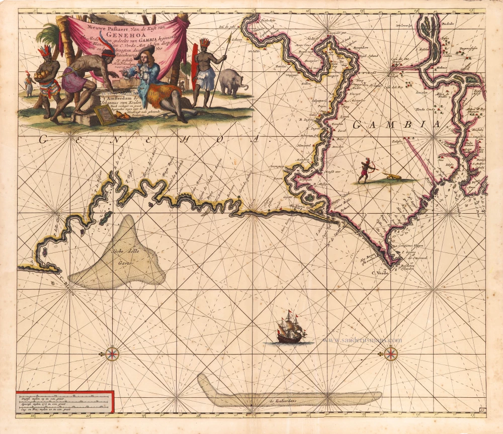
Nieuwe Paskaert, van de Kust van Genehoa als mede een Gedeelte van Gambia, beginnende an C. Blanco tot C. Verde, Met al syn diep ten end droogten, dus Ver Naeukeurig op gestelt. 1697-1709
The coasts of Senegal - Gambia by Johannes Van Keulen.
[Item number: 2016]
Guinea c. 1680
Guinea by F. De Wit.
[Item number: 2646]
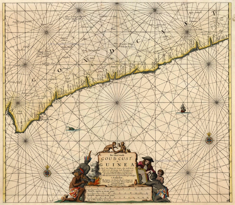
Pas-Caert vande Goud Cust in Guinea van C. Tres Puntas tot Acara ... 1683
Sea chart of Guinea, by Van Keulen Johannes.
[Item number: 4059]
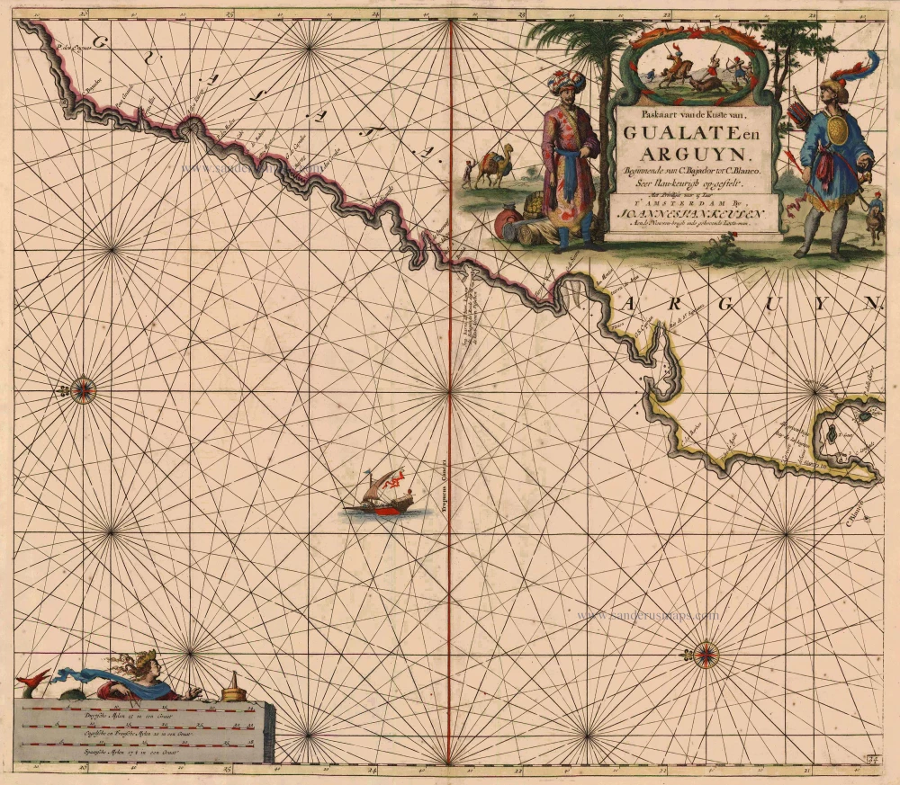
Paskaart van de Kuste van Gualate en Arguyn ... 1681
The coast of the Western Sahara, by J. Van Keulen.
[Item number: 5402]
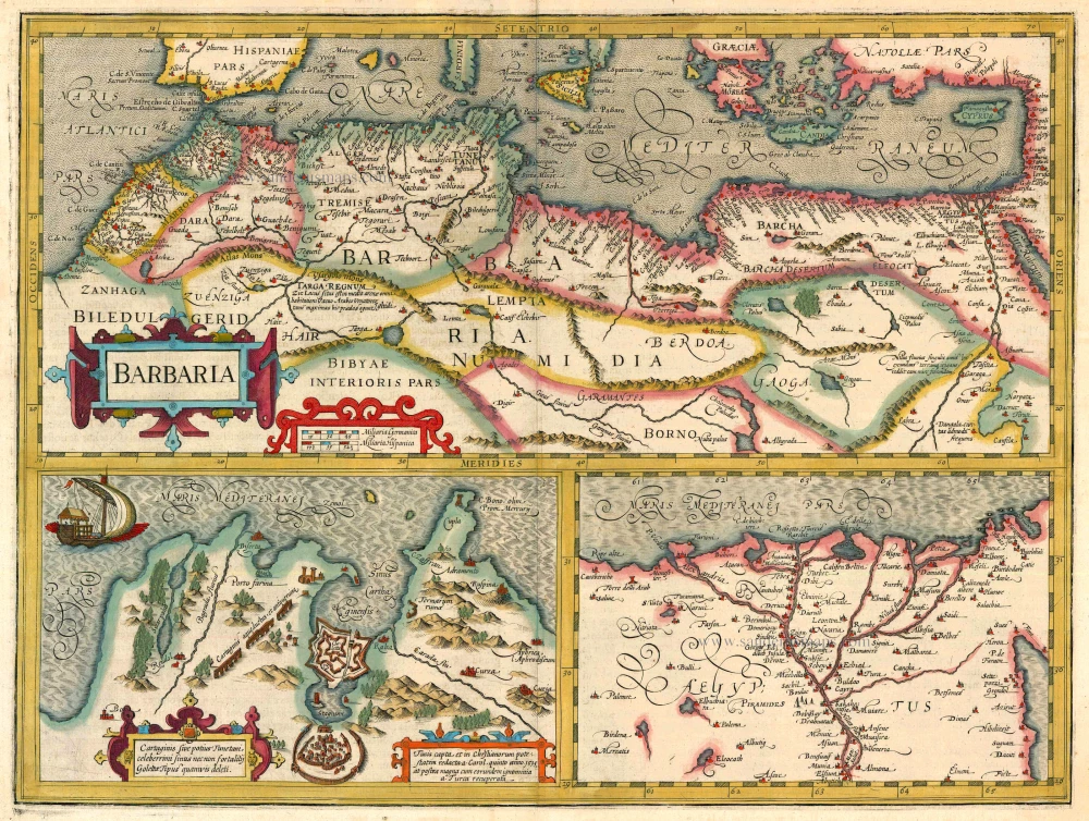
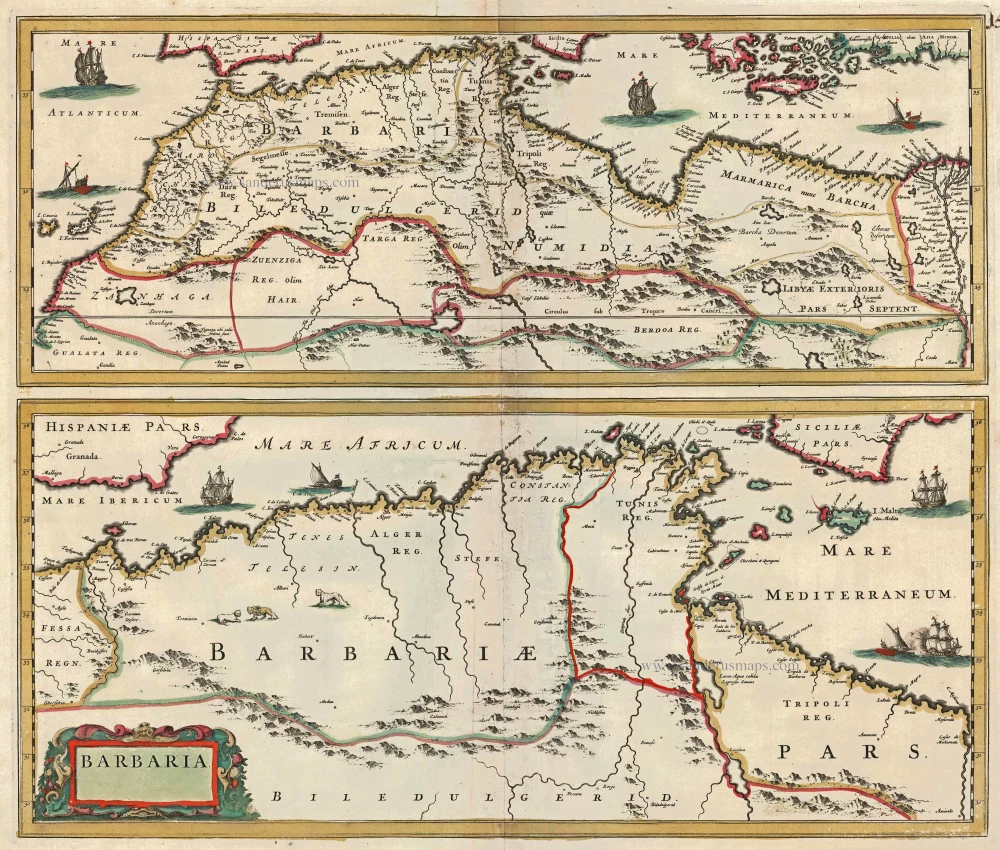
Barbaria 1613-16
Northern Africa by J. Hondius
[Item number: 13746]
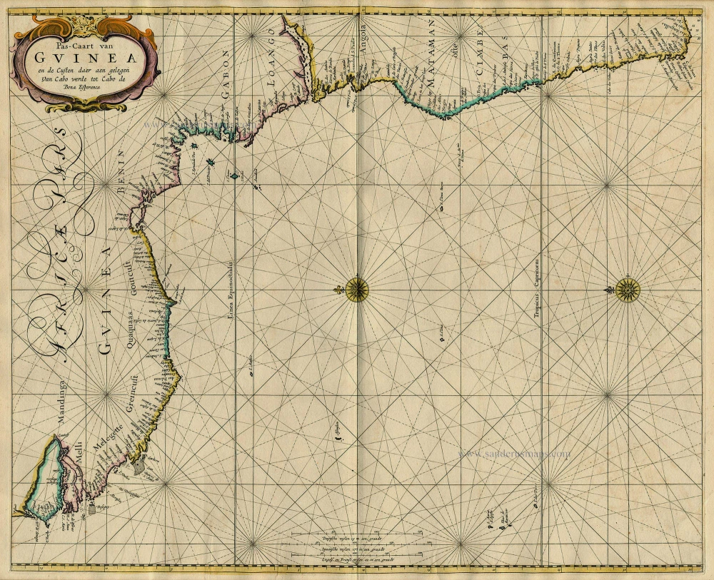
Pas-Caart van Guinea en de Custen daer aen Gelegen van Cabo Verde tot Cabo de Bona Esperanca 1667
Sea chart of Guinea, by Pieter Goos.
[Item number: 19060]
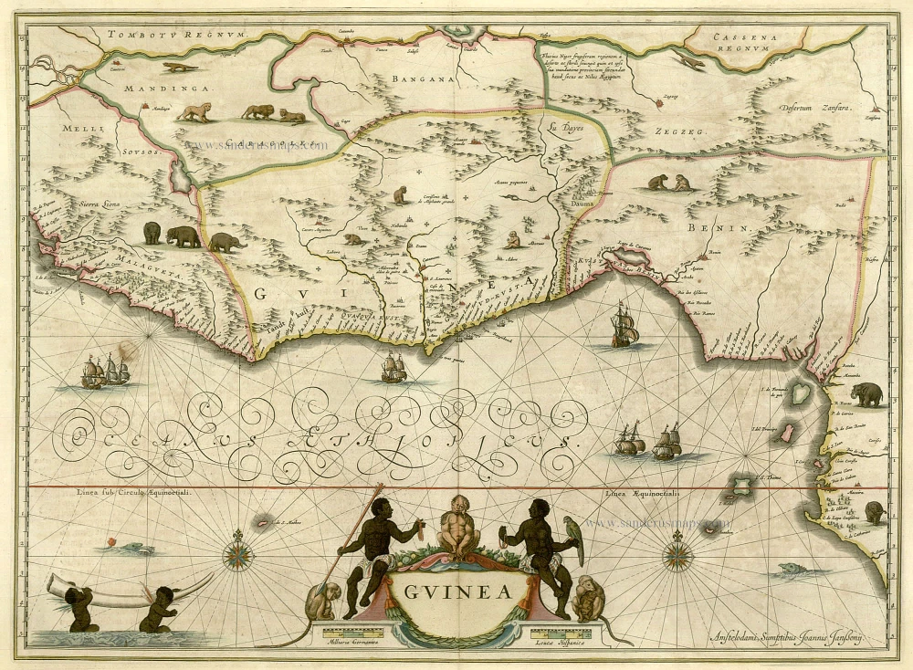
Guinea c. 1658
Guinea, by Janssonius J.
[Item number: 19543]
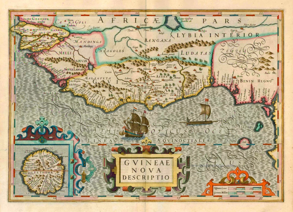
Guineae Nova Descriptio. 1623
Guinea, by Jodocus Hondius.
[Item number: 21985]

Barbaria 1662
Northern Africa, by Blaeu J.
[Item number: 22814]
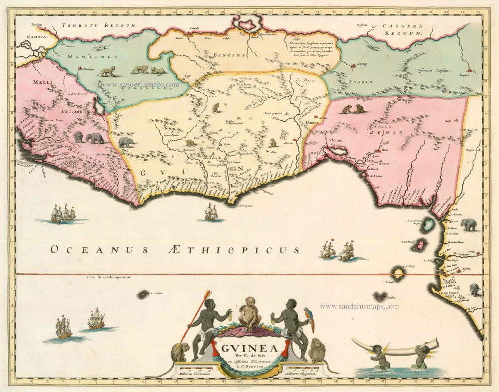
Guinea 1721-41
Guinea, by F. De Wit after W. Blaeu.
[Item number: 23613]
Carte de l'Afrique Françoise ou du Senegal ... 1721-41
Senegal by Guillaume Delisle, published by Covens & Mortier.
[Item number: 23614]

Pascaerte van Guinea, tusschen C. Verde, tot Cabo de bona Esperanca. 1661
Sea chart of Guinea, by J. Van Loon.
[Item number: 24328]
Barbaria c. 1680
Northern Africa, by F. de Wit.
[Item number: 24490]
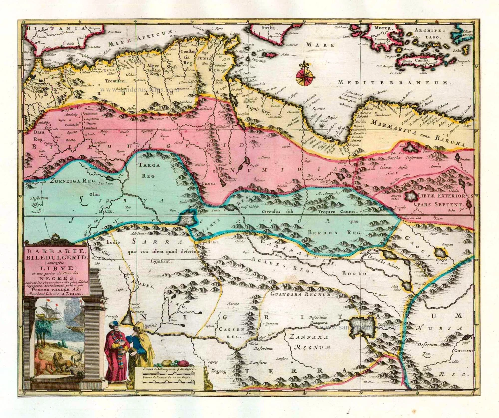
Barbarie, Biledulgerid, (autrefois Libye) et une partie du Pays des Negres. 1713
Northern Africa (Barbary), by Pieter van der Aa.
[Item number: 26154]