
Antique map of Antilles by Ottens R. & J. 1756
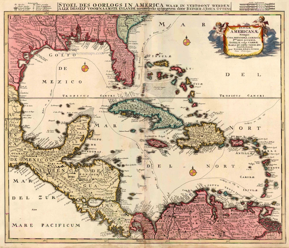
Insulae Americanae, Nempe: Cuba, Hispaniola, Jamaica, Pto Rico, Lucania, Antillae vulgo Caribae, Barlo-et Sotto-Vento, etc. - Stoel des Oorlogs in America ...
Item Number: 23508 Authenticity Guarantee
Category: Antique maps > America > Central America
Map of central America with Florida and the Antilles, oriented to the North
Copper engraving
Size: 48 x 58cm (18.7 x 22.6 inches)
Verso: Blank
Condition: Old coloured, some soiling at centre fold..
Condition Rating: B
From: Atlas minor sive geographia compendiosa in qua orbid terrarum paucis attamen novissimis tablulis ostenditur - Atlas nouveau contenant toutes les parties du monde où sont exactement remarquées les empires, monarchies, royaumes,états, républiques, &c. Amsterdam, R. & J. Ottens (1756). (Koeman, Ott3)