
Antique map of the Carolinas - Newfoundland, by Cassini, G.M. 1797
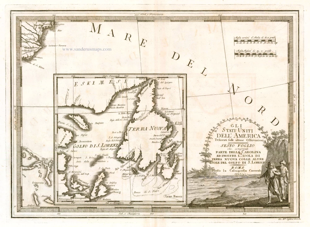
Gli Stati Uniti dell'America Delineati sulle Ultime Osservazioni. Sesto Foglio che Comprende Parte della Carolina ed Inoltre l'Isola di Terra Nuova colle altre Isole del Golfo do S. Lorenzo
Item Number: 23477 Authenticity Guarantee
Category: Antique maps > America > North America
Antique map of the Carolinas - Newfoundland, by Cassini, G.M.
Part of Cassini's 6-sheet map of the settled portions of North America.
Title: Gli Stati Uniti dell'America Delineati sulle Ultime Osservazioni. Sesto Foglio che Comprende Parte della Carolina ed Inoltre l'Isola di Terra Nuova colle altre Isole del Golfo do S. Lorenzo
Date: 1797.
Copper engraving, printed on paper.
Size (not including margins): 345 x 480mm (13.58 x 18.9 inches).
Verso: Blank.
Condition: Excellent.
Condition Rating: A+.
From: Cassini G.M., Nuovo Atlante geografico universale delineato.... Rome, 1797
Related items
Luxury colouring
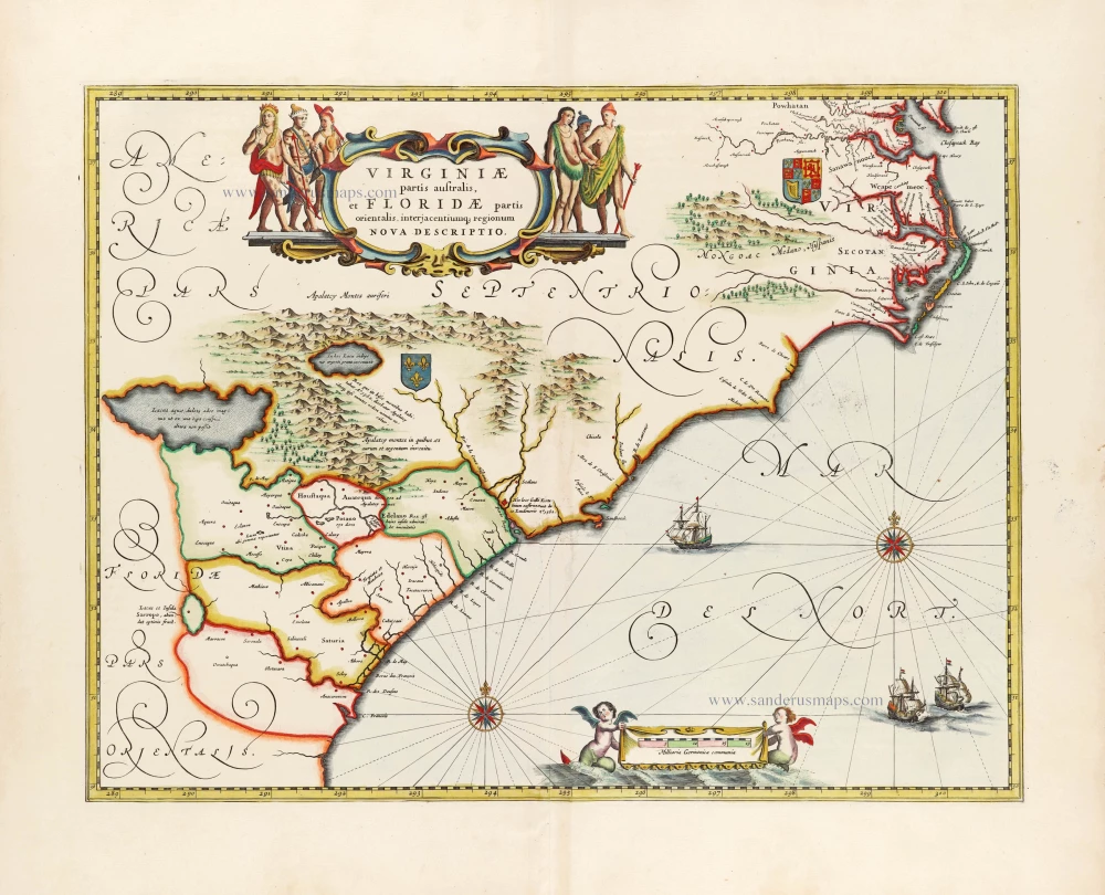
Virginiae partis australis et Floridae partis orientalis, interjacentiumq; regionum Nova Descriptio. 1666
Carolinas and Georgia by Johannes Janssonius
[Item number: 30020]
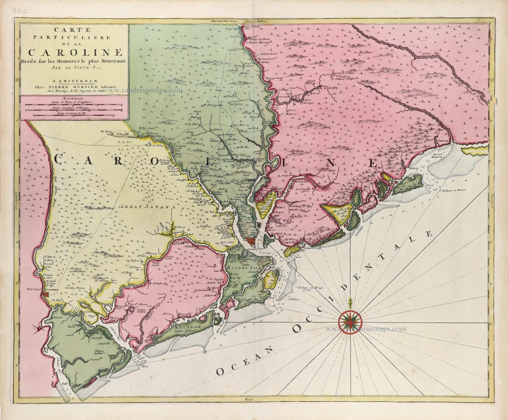
Carte Particuliere de la Caroline c. 1696
South Carolina by Pierre Mortier.
[Item number: 31408]