Antique maps catalogue
- All recent additions
-
Antique maps
- Polar maps
- World
-
Europe
- Europe Continent
- Belgium
- Belgium - Cities
- The Low Countries
- The Netherlands
- The Netherlands - Cities
- Luxembourg
- France
- France - Cities
- Germany
- Germany - Cities
- Austria
- Italy
- Italy - Cities
- Spain and Portugal
- Greece & Greek Islands
- Switzerland
- British Isles
- British Isles - Cities
- Northern Europe
- Central Europe
- Eastern Europe
- Southeastern Europe
- America
- Asia
- Africa
- Mediterranean Sea
- Australia
- Oceans
- Celestial Maps
- Curiosities
- Title Pages
- Books
- Medieval manuscripts
- Prints
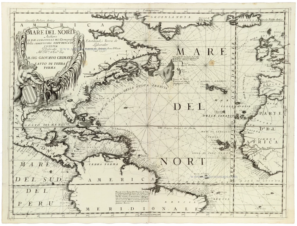
America - Atlantic Ocean, by Vincenzo Coronelli. 1691
Mare del Nord
[Item number: 33344]
new
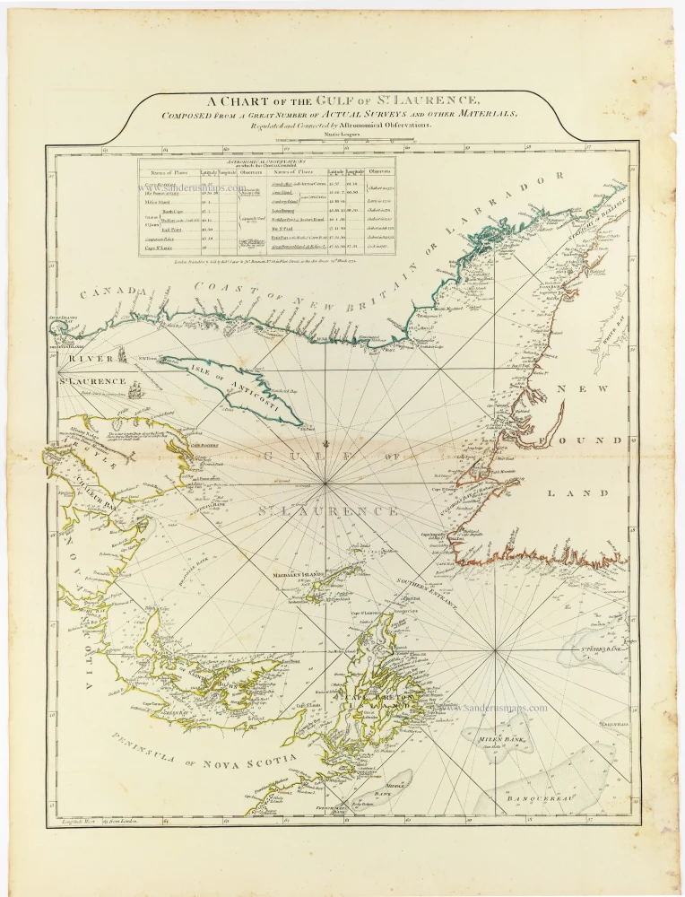
Gulf of St. Laurence by Thomas Jeffery, published by Robert Sayer, 1775
A Chart of the Gulf of St. Laurence, Composed From A Great...
[Item number: 33363]
new
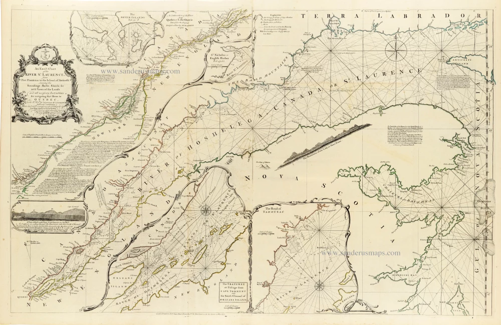
Canada - St. Laurence River by Thomas Jeffery, published by Robert Sayer, 1775
An Exact Chart of the River St. Laurence, from Fort Frontenac to...
[Item number: 33362]
new
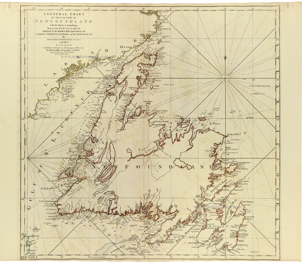
Newfoundland by James Cook and Michael Lane, published by Thomas Jefferys. 1775
A General Chart of the Island of Newfoundland with the Rocks &...
[Item number: 33364]
new
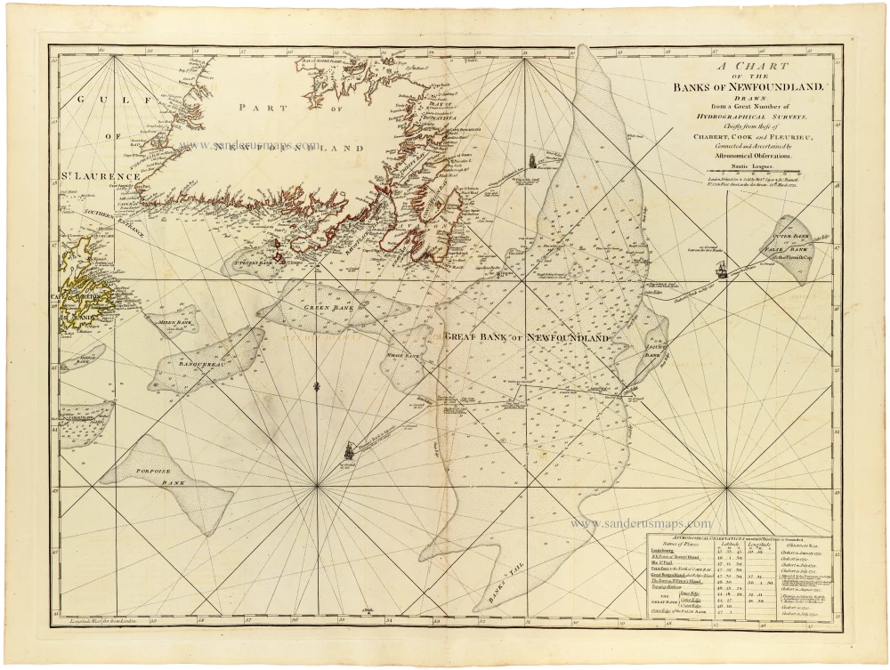
Sea chart of Newfoundland by Joseph-Bernard de Chabert, James Cook and Charles-Pierre Claret de Fleurieu, published for Thomas Jefferys, by Robert Sayer and John Bennett. 1775
A Chart of the Banks of Newfoundland Drawn from a Great Number...
[Item number: 33365]
new

Nicolas Sanson's landmark map of North America, scarce second state. 1659
Amerique Septentrionale.
[Item number: 33218]
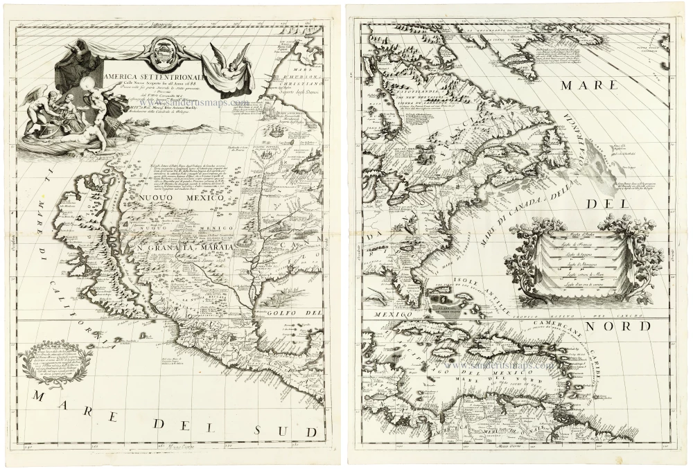
A masterpiece of late seventeenth-century Italian cartography
North America by Coronelli V.M. (1650-1718 1691
America Settentrionale Colle Nuove Scoperte sin all' Anno 1688.
[Item number: 33306]
new
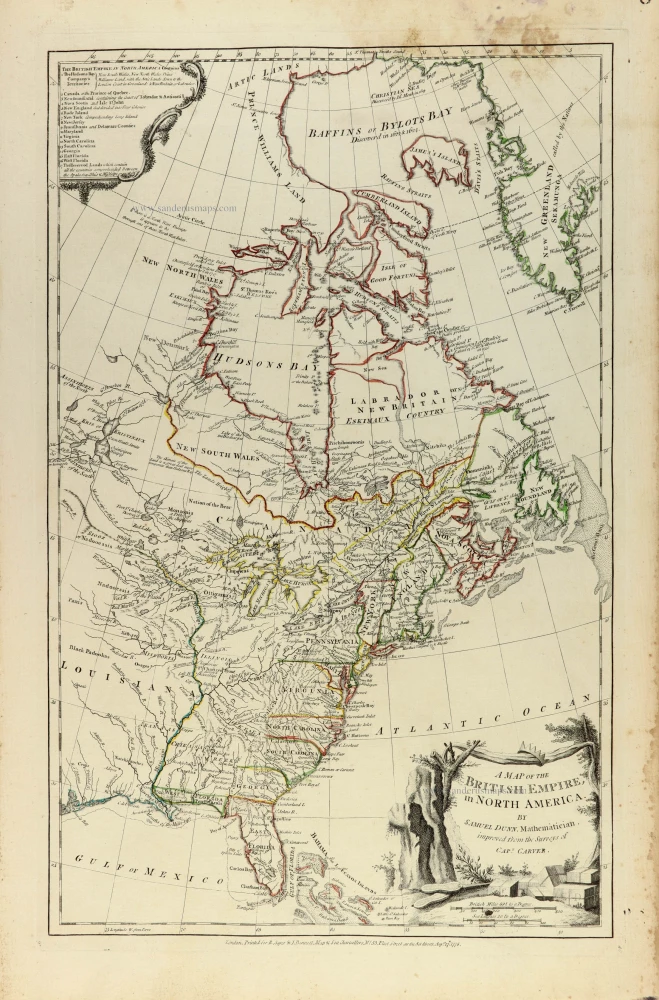
Eastern North America by Samuel Dunn, published by Robert Sayer and John Bennett. 1776
A map of the British Empire, in North America
[Item number: 33361]
new
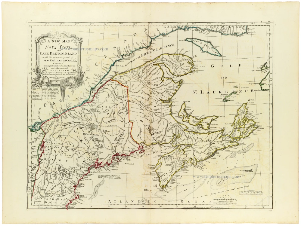
Nova Scotia by Thomas Jefferys, published by Robert Sayer and John Bennett 1775
A new map of Nova Scotia, and Cape Breton Island with the...
[Item number: 33366]
new

Important map for the Northwest Passage
Hudson Bay by Hessel Gerritz, published by Theodore de Bry. 1613
Tabula Nautica, qua repraesentantur orae maritimae, meatus, ac...
[Item number: 31097]

The earliest obtainable view of any city within the United States
Drake's raids against St. Augustine, Cartagena, Santo Domingo and Praia, Great Voyages, De Bry, 1599
Expugnato civitatis S. Augustini in America sitae. / Franciscus...
[Item number: 30739]

Drake's raid on St. Augustine in 1586
St. Augustine (Florida) by Theodore de Bry, published by J.L. Gottfried. 1631
[No title]
[Item number: 32442]

Earliest obtainable map of North America
Tomaso Porcacchi., North America 1576
Mondo Nuovo - Descrittione del l'Isola et Terra di Sancta Croce,...
[Item number: 27651]

North America by Giovanni De Rossi, after Nicolas Sanson. 1677
L' America Settentrionale.
[Item number: 32889]
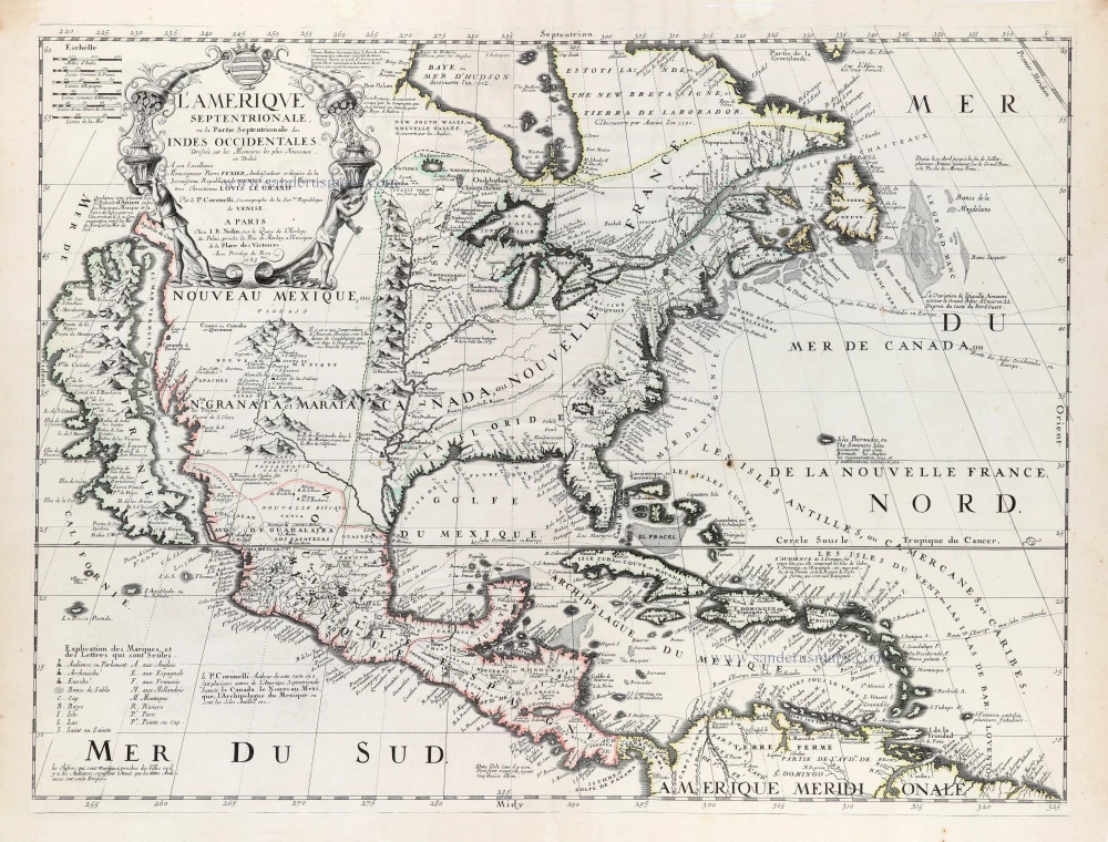
Rare first edition of the important Coronelli-Nolin map of North America
North and Central America by Vincenzo Coronelli, published by J.B. Nolin. 1689
L'Amerique Septentrionale, ou la Partie Septentrionale des Indes...
[Item number: 31338]

New England, Virginia, and New York by Nicolaes Visscher II. c. 1684
Novi Belgii novaeque Angliae nec non partis Virginiae Tabula.
[Item number: 29408]

Big and spectacular map, heightened in gold.
North America by N. Sanson, so-called published by Hubert Jaillot. (Pirated edition by Pierre Mortier). 1692
Amerique Septentrionale, divisée en ses principales parties, ou...
[Item number: 29895]

North America by N. Sanson, so-called published by Hubert Jaillot. (Pirated edition by Pierre Mortier). 1692
Amerique Septentrionale, Divisee en ses Principales Parties, ou...
[Item number: 31142]

Scarce
East Coast by Bertius Petrus. 1618
Virginia et Nova Francia.
[Item number: 32328]
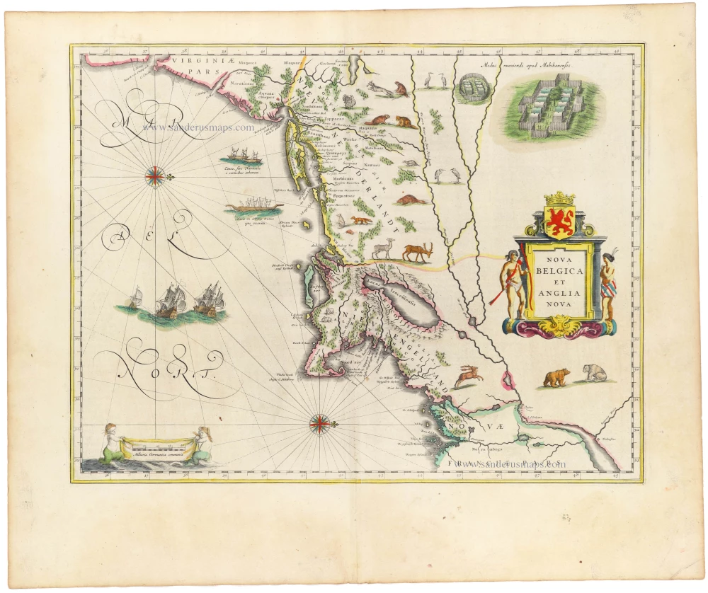
New England by Willem Blaeu 1645
Nova Belgica et Anglia Nova.
[Item number: 33023]

Girolamo Ruscelli, East coast. 1574
Tierra Nueva.
[Item number: 30968]

Early 'Texas' map
North America, by Girolamo Ruscelli. 1574
Nueva Hispania Tabula Nova.
[Item number: 27755]
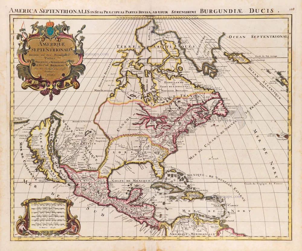
North America, by Nicolas Sanson, published by Pierre Mortier after A.H. Jaillot. 1694
Amerique Septentrionale, Divisee en ses Principales Parties.
[Item number: 29125]

California as an island.
North America by Chiquet Jacques. 1719
L'Amerique Septentrionale qui fait partie des Indes Occidentales.
[Item number: 30085]

Eastern North America (U.S.), by Zacharias Châtelain. 1719
Carte de la Nouvelle France, ou se Voit le Cours des Grandes...
[Item number: 29365]

North America by G. de L'Isle, published by Pierre Mortier. 1708
L'Amerique Septentrionale.
[Item number: 29510]

The most striking and technically brilliant map of Bermuda in the 17th century
Bermuda by Willem Blaeu. 1643
Mappa Aestivarum Insularum alias Barmudas dictarum, ad Ostia...
[Item number: 30007]
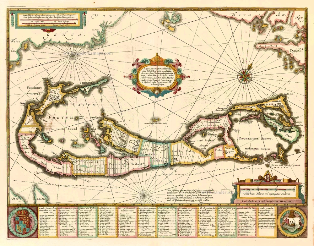
Bermuda, by Johannes Janssonius. 1641
Mappa Aestivarum Insularum alias Barmudas dictarum, ...
[Item number: 26460]

Bermuda by Henricus Hondius. c. 1630-1650
Mappa Aestivarum Insularum alias Barmudas dictarum, ...
[Item number: 30861]

Bermuda by Joannes Janssonius. 1666
Mappa Aestivarum Insularum alias Barmudas dictarum, ...
[Item number: 29951]

Chart of Florida by J. Van Keulen. 1680-1694
Pas Kaart van de Boght van Florida met de Canaal tusschen...
[Item number: 16285]

Florida & Texas by Pieter Van der Aa c. 1707
'T Amerikaans Gewest van Florida Door Ferdinand de Soto nader...
[Item number: 33093]

Early city view
Manhattan - New York, by Arnoldus Montanus. 1671
Novum Amsterodamum.
[Item number: 27510]

Virginia by Willem Blaeu. 1644
Nova Virginiae Tabula
[Item number: 33044]

Virginia by Johannes van Keulen 1702
Pas Kaart van de Zee Kusten van Virginia tusschen C. Henry en t...
[Item number: 1332]

Virginia, by A. Montanus. 1671
Nova Virginiae Tabula.
[Item number: 25613]