
America - Atlantic Ocean, by Vincenzo Coronelli. 1691
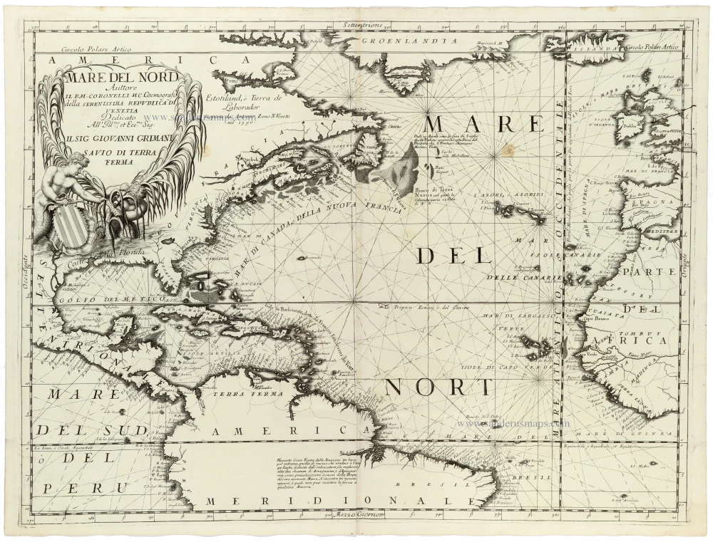
The chart extends from Greenland and Iceland in the north to northern South America and Brazil in the south, encompassing the eastern coastline of North America, the Caribbean, the Atlantic islands, western Europe and the northwestern coast of Africa.
Particular attention is devoted to the coastlines of New France, Labrador, Newfoundland, Virginia, Florida, the Gulf of Mexico and the West Indies, with numerous geographical names, rivers, bays and settlements carefully engraved.
Of particular historical interest is the inscription on Labrador attributing its discovery in 1390 to the Venetian navigator Antonio Zeno. This reflects the persistent influence of the disputed Zeno voyages on European cartography and Coronelli's interest in celebrating Venetian contributions to geographical exploration.
The Atlantic is traversed by an elaborate network of rhumb lines radiating from numerous compass centres, recalling the tradition of Mediterranean portolan charts.
The splendid title cartouche in the upper left is embellished with marine figures, luxuriant vegetation and the coat of arms of Giovanni Grimani, to whom the map is dedicated.
An impressive example of Coronelli's maritime cartography, combining extensive geographical information with the elaborate decorative engraving characteristic of the Venetian Baroque.
Vincenzo Coronelli (1650-1718)
Vincenzo Coronelli was born in Venice on 16 August 1650 and primarily brought up in Ravenna. He returned to Venice in 1665 and joined the convent of the Minor Conventuals. Five years later, he was sent to Rome to study, and by 1673, he was already a doctor of theology.
Having achieved fame by constructing two globes for the Duke of Parma, he was invited to Paris for three years in 1681 and made two enormous examples for Louis XIV. On his return to Venice, he assiduously collected cartographic material and founded the Academy of the Argonauts. In 1685, he was appointed Cosmographer to the Republic of Venice and authorised to publish a large atlas. He became a geography lecturer at the University of Venice and brought out an Atlante Veneto the following year.
In 1696, he visited Germany, Holland and southern England. During intervals in compiling his vast encyclopaedia, he continued with cartographic projects up to 1709. He died in his native Venice on 9 December 1718.
Coronelli became famous for his globes. In addition, he was a renowned encyclopaedist, mapmaker and geographer. Most of his maps and other material are gathered in his Atlante Veneto (13 vols, 1690-1705). The first volume, subtitled Descrizione generale istorica geografica, was his masterpiece, planned as an extension of Blaeu’s atlas.
Other volumes of the atlas which contain maps are Isolario, two parts (1696-8), with detailed maps and plans, mostly of islands; Corso geografico, two parts based on the edition 1694-7; Libro de’ globi (1697); and Lo Specchio del Mare, a reprint of Levanto's Lo Specchio del Mare Mediterraneo of 1664.
The other vital aspects of his mapping are those arising from the Venetian conquest and his travels. His most extensive military compilation was the Teatro della Guerra, in more than 30 volumes.
Mare del Nord
Item Number: 33344 new Authenticity Guarantee
Category: Antique maps > America > Central America
A magnificent and highly detailed sea chart of the North Atlantic Ocean by Vincenzo Maria Coronelli.
Title: Mare del Nord
Auttore Il P.M. Coronelli M.C. Cosmografo della Serenissima Republica di Venetia.
Date: 1691.
Copper engraving, printed on paper.
Image size: 450 x 605mm (17¾ x 23¾ inches).
Sheet size: 475 x 635mm (18¾ x 25 inches).
Verso: Blank.
Condition: Excellent.
Condition Rating: A+.
From: Atlante Veneto, nel quale si contiene la descrittione... degl' Imperii, Regni, Provincie, e Stati dell' Universo. Venice: Girolamo Albrizzi, 1691. Shirley (Brit.Lib.), T.CORO-7a
The chart extends from Greenland and Iceland in the north to northern South America and Brazil in the south, encompassing the eastern coastline of North America, the Caribbean, the Atlantic islands, western Europe and the northwestern coast of Africa.
Particular attention is devoted to the coastlines of New France, Labrador, Newfoundland, Virginia, Florida, the Gulf of Mexico and the West Indies, with numerous geographical names, rivers, bays and settlements carefully engraved.
Of particular historical interest is the inscription on Labrador attributing its discovery in 1390 to the Venetian navigator Antonio Zeno. This reflects the persistent influence of the disputed Zeno voyages on European cartography and Coronelli's interest in celebrating Venetian contributions to geographical exploration.
The Atlantic is traversed by an elaborate network of rhumb lines radiating from numerous compass centres, recalling the tradition of Mediterranean portolan charts.
The splendid title cartouche in the upper left is embellished with marine figures, luxuriant vegetation and the coat of arms of Giovanni Grimani, to whom the map is dedicated.
An impressive example of Coronelli's maritime cartography, combining extensive geographical information with the elaborate decorative engraving characteristic of the Venetian Baroque.
Vincenzo Coronelli (1650-1718)
Vincenzo Coronelli was born in Venice on 16 August 1650 and primarily brought up in Ravenna. He returned to Venice in 1665 and joined the convent of the Minor Conventuals. Five years later, he was sent to Rome to study, and by 1673, he was already a doctor of theology.
Having achieved fame by constructing two globes for the Duke of Parma, he was invited to Paris for three years in 1681 and made two enormous examples for Louis XIV. On his return to Venice, he assiduously collected cartographic material and founded the Academy of the Argonauts. In 1685, he was appointed Cosmographer to the Republic of Venice and authorised to publish a large atlas. He became a geography lecturer at the University of Venice and brought out an Atlante Veneto the following year.
In 1696, he visited Germany, Holland and southern England. During intervals in compiling his vast encyclopaedia, he continued with cartographic projects up to 1709. He died in his native Venice on 9 December 1718.
Coronelli became famous for his globes. In addition, he was a renowned encyclopaedist, mapmaker and geographer. Most of his maps and other material are gathered in his Atlante Veneto (13 vols, 1690-1705). The first volume, subtitled Descrizione generale istorica geografica, was his masterpiece, planned as an extension of Blaeu’s atlas.
Other volumes of the atlas which contain maps are Isolario, two parts (1696-8), with detailed maps and plans, mostly of islands; Corso geografico, two parts based on the edition 1694-7; Libro de’ globi (1697); and Lo Specchio del Mare, a reprint of Levanto's Lo Specchio del Mare Mediterraneo of 1664.
The other vital aspects of his mapping are those arising from the Venetian conquest and his travels. His most extensive military compilation was the Teatro della Guerra, in more than 30 volumes.
Related items
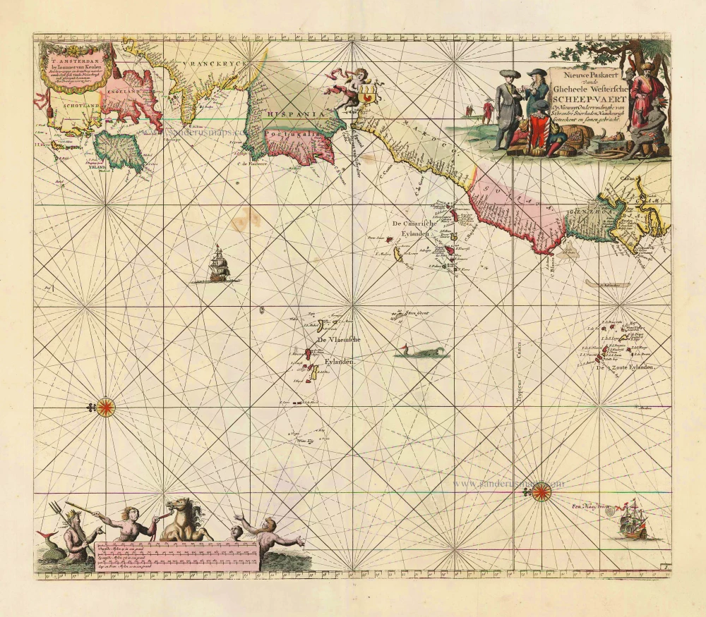
Nieuwe Paskaert vande Gheheele Westersche Scheep-Vaert, op Nieus uyt Ondervindinghe van Schrandre Stierlieden Naaukeurigh Geteeckent en Samen Gebracht. 1697-1709
The Atlantic Ocean, by J. Van Keulen.
[Item number: 11218]
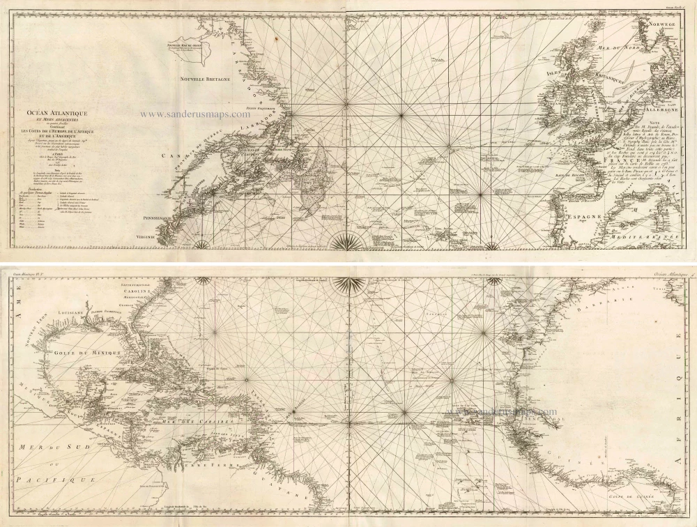
Ocean Atlantique et Mers Adjacentes en Quatre Feuilles Contenant les Cotes de l'Europe, de l'Afrique et de l'Amerique ... 1778
The Atlantic Ocean, by G.L. Le Rouge.
[Item number: 14086]

The first sea chart - wall map - relating to North America to use the Mercator projection
West-Indische Paskaert waer in de graden der breedde over wederzijden vande middellijn wassende so vergrooten dat die geproportioneert sijn tegen hunne nevenstaende graden der lengde; ... c. 1680
Atlantic Ocean. by P. Goos - J. Van Keulen
[Item number: 25938]
Rare.
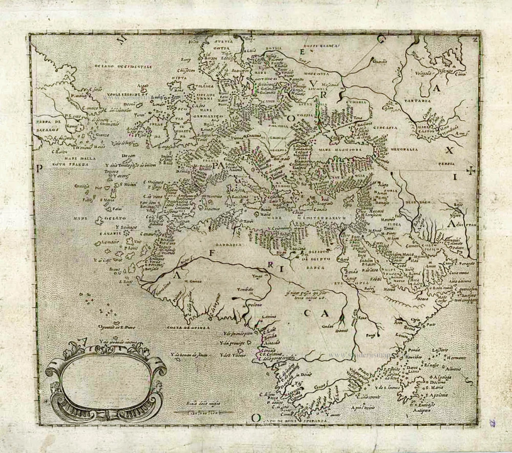
[No title] c. 1575
Atlantic Ocean - Europe, Africa & Eastern Canada by Giovanni Francesco Camocio
[Item number: 27086]

California as an island
Atlantis Insula. 1692
The Americas by Guillaume Sanson.
[Item number: 28376]

One of the most elaborately engraved maps ever published.
Carte tres Curieuse de la Mer du Sud, Contenant des Remarques Nouvelles et tres Utiles non Seulement sur les Ports et Iles de cette Mer, 1719
Pacific by Zacharias Châtelain after Nicolas de Fer.
[Item number: 29466]

Heightened in gold and silver
[No title] 1599
Atlantic Ocean by Theodore De Bry, Great Voyages,
[Item number: 30730]
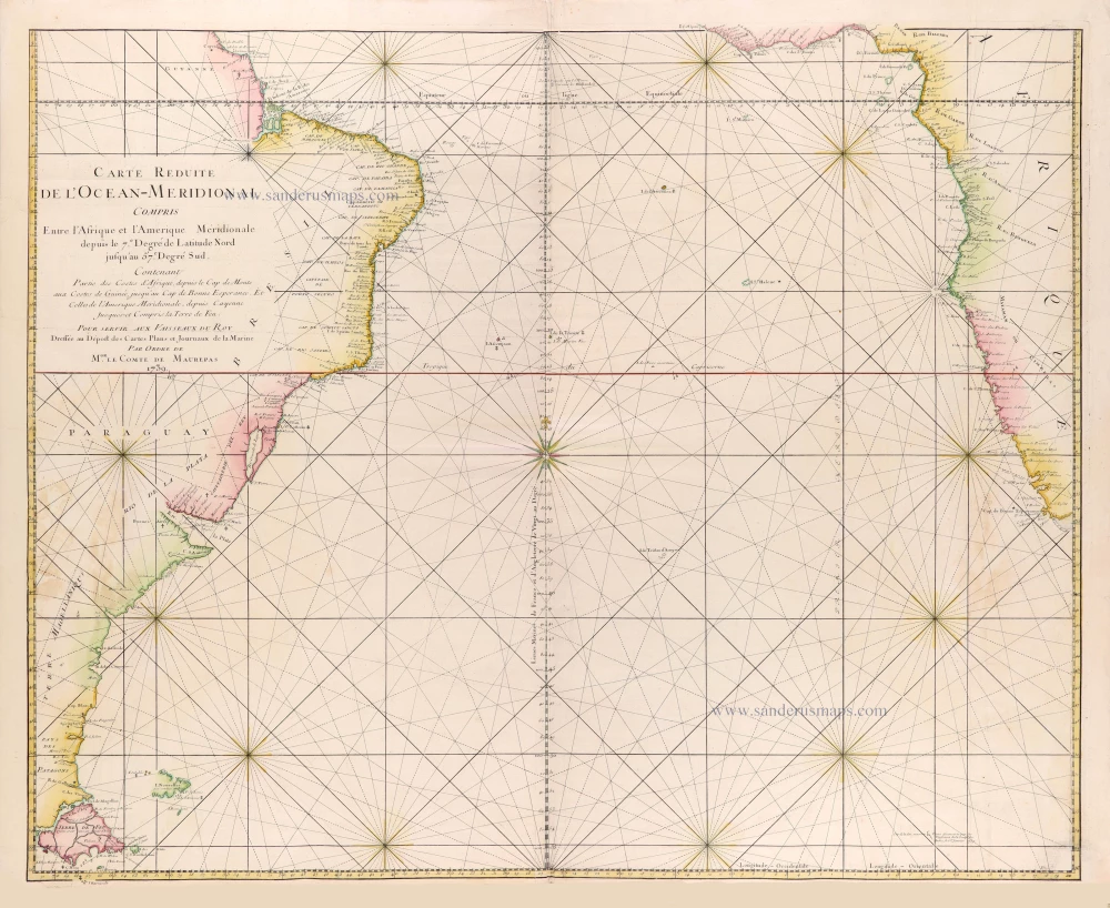
Carte réduite de l'Océan-méridional, compris entre l'Afrique et l'Amérique méridionale depuis le 7° degré de latitude Nord jusqu'au 57° degré Sud, contenant partie des costes d'Afrique depuis le cap de Monte... jusqu'au cap de Bonne Espérance et celles de l'Amérique méridionale depuis Cayenne jusques- et compris la Terre de Feu. 1765
Southern Atlantic Ocean by Jacques Nicolas Bellin.
[Item number: 31446]
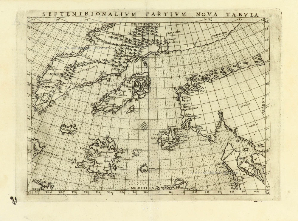
Early map of the North Atlantic
Septenirionalium Partium Nova Tabula. 1574
Northern Atlantic Ocean by Girolamo Ruscelli.
[Item number: 32185]

't Noorder Gedeelte van Virginie door Batholomeus Gosnol en Martin Pringe uyt Engeland bevaaren. 1707
North Atlantic Ocean showing the east coast of North America, Greenland, Iceland, Azores, and part of Europe/Africa, by Pieter Van der Aa.
[Item number: 32402]