
Eastern North America (U.S.), by Zacharias Châtelain. 1719

The Châtelain Family
Zacharias Châtelain (1684-1743) was a bookseller and publisher of Amsterdam. He was succeeded by his sons Zacharias jr and Henry Abraham. The Châtelain family was best known for the historical atlas Atlas Historique, ou nouvelle introduction à l’histoire…, a major work of its time. It was an encyclopaedia in seven volumes, including geography as one of its main subjects. The atlas was published in Amsterdam in seven volumes in various editions with different imprints from 1705 to 1739. An anonym person (Mr. C***) compiled the work with compositions of text, maps, plates and chronological and genealogical tables by Gueudeville, except volume 7, where H.P. Limiers took over this task. The maps were made mainly after the work of Guillaume de l'Isle.
The 1705 edition was published with the imprint “L’Honoré & Châtelain”. Later editions had the imprint: “les Frères Châtelain Libraires” or “L’Honoré & Châtelain Libraires”.
Nicolas de Fer (1646-1720)
Nicolas de Fer was one of the greatest map producers of the 17th century. At the age of twelve, he had been apprenticed to the etcher Louis Spirinx in Paris. He quickly turned to the actual making of geography maps and edited very current and "useful" documents: border maps, towns fortified by Vauban, voyages of discovery, etc.
His father, Antoine de Fer, a modest print merchant, died in June 1673. His widow, Geneviève Hourlier, continued to operate the fund during the years following the death of her husband.
The career of Nicolas de Fer did not begin until 1687, when his mother gave up her business in maps. After several difficult years, he achieved high prosperity and notoriety. He was appointed as a geographer of the Grand Dauphin and published his first atlases, the Côtes de France and the Introduction à la fortification.
When the Grand Dauphin died in 1711, he became "Géographe des rois de France et d'Espagne" (Geographer of the kings of France and Spain). After the disappearance of Louis XIV, we found him, in 1720, with the sole title of "Géographe ordinaire de Sa Majesté Catholique".
At the time that he received this official support, N. de Fer continued to publish atlases which, both by their number and by the importance of their content, significantly contributed to the success of his publishing career. He published numerous successful atlases and other works. Dutch publishers copied several of these atlases. In 1695 Pieter Mortier published the Atlas Royal, and Carel Allard published the Théatre de la Guerre du Pais Bas Catholique in the following years. He also published 26 large wall maps.
The sign of De Fer's shop was the "Sphère Royale", an emblem to which he was very attached because we find the image of this armillary sphere on many of his publications.
Carte de la Nouvelle France, ou se Voit le Cours des Grandes Rivieres de S. Laurens & de Mississipi Aujourd'hui S. Louis, Aux environs des quelles se trouvent les Etats, Païs, Nations, Peuples &c. de la Floride, de la Louisiane, de la Virginie, de la Marie-Lande, de la Pensilvanie, du Nouveau Jersay, de la Nouvelle Yorck, de la Nouv. Angleterre, de l'Acadie, du Canada, des Esquimaux, des Hurons, des Iroquois, des Ilinois &c. Et de la Grande Ile de Terre Neuve:.
Item Number: 29365 Authenticity Guarantee
Category: Antique maps > America > North America
Old, antique map of Eastern North America (U.S.), by Zacharias Châtelain.
Title: Carte de la Nouvelle France, ou se Voit le Cours des Grandes Rivieres de S. Laurens & de Mississipi Aujourd'hui S. Louis, Aux environs des quelles se trouvent les Etats, Païs, Nations, Peuples &c. de la Floride, de la Louisiane, de la Virginie, de la Marie-Lande, de la Pensilvanie, du Nouveau Jersay, de la Nouvelle Yorck, de la Nouv. Angleterre, de l'Acadie, du Canada, des Esquimaux, des Hurons, des Iroquois, des Ilinois &c. Et de la Grande Ile de Terre Neuve:
Dressée sur les Mémoires les plus Nouveaux recueillis pour l'Etablissement de la Compagnie Françoise Occident.
Tom. VI. N°23. Page 91.
With three insets: Les costes de la Louisiane...; Les environs de Quebec; Veüe de Quebec.
Cartographer: Nicolas de Fer
Date of the first edition: 1719.
Date of this map: 1719.
Copper engraving, printed on paper.
Map size: 420 x 480mm (16.54 x 18.9 inches).
Sheet size: 440 x 520mm (17.32 x 20.47 inches).
Verso: Blank.
Condition: Excellent.
Condition Rating: A+.
From: Châtelain Z. Atlas Historique, ou Nouvelle Introduction A l'Histoire, à la Chronologie & à la Geographie Ancienne & Moderne; ... Tome VI. Qui comprend l'Afrique & l'Amerique Septentrionale & Meridionale, ... A Amsterdam, Chez L'Honoré & Châtelain Libraires, M.DCC.XIX. (1719). (Koeman II, p. 37, Cha7)
The map is based on de Fer's large two-sheet map of the previous year.
The Châtelain Family
Zacharias Châtelain (1684-1743) was a bookseller and publisher of Amsterdam. He was succeeded by his sons Zacharias jr and Henry Abraham. The Châtelain family was best known for the historical atlas Atlas Historique, ou nouvelle introduction à l’histoire…, a major work of its time. It was an encyclopaedia in seven volumes, including geography as one of its main subjects. The atlas was published in Amsterdam in seven volumes in various editions with different imprints from 1705 to 1739. An anonym person (Mr. C***) compiled the work with compositions of text, maps, plates and chronological and genealogical tables by Gueudeville, except volume 7, where H.P. Limiers took over this task. The maps were made mainly after the work of Guillaume de l'Isle.
The 1705 edition was published with the imprint “L’Honoré & Châtelain”. Later editions had the imprint: “les Frères Châtelain Libraires” or “L’Honoré & Châtelain Libraires”.
Nicolas de Fer (1646-1720)
Nicolas de Fer was one of the greatest map producers of the 17th century. At the age of twelve, he had been apprenticed to the etcher Louis Spirinx in Paris. He quickly turned to the actual making of geography maps and edited very current and "useful" documents: border maps, towns fortified by Vauban, voyages of discovery, etc.
His father, Antoine de Fer, a modest print merchant, died in June 1673. His widow, Geneviève Hourlier, continued to operate the fund during the years following the death of her husband.
The career of Nicolas de Fer did not begin until 1687, when his mother gave up her business in maps. After several difficult years, he achieved high prosperity and notoriety. He was appointed as a geographer of the Grand Dauphin and published his first atlases, the Côtes de France and the Introduction à la fortification.
When the Grand Dauphin died in 1711, he became "Géographe des rois de France et d'Espagne" (Geographer of the kings of France and Spain). After the disappearance of Louis XIV, we found him, in 1720, with the sole title of "Géographe ordinaire de Sa Majesté Catholique".
At the time that he received this official support, N. de Fer continued to publish atlases which, both by their number and by the importance of their content, significantly contributed to the success of his publishing career. He published numerous successful atlases and other works. Dutch publishers copied several of these atlases. In 1695 Pieter Mortier published the Atlas Royal, and Carel Allard published the Théatre de la Guerre du Pais Bas Catholique in the following years. He also published 26 large wall maps.
The sign of De Fer's shop was the "Sphère Royale", an emblem to which he was very attached because we find the image of this armillary sphere on many of his publications.
Related items

L'Amerique Septentrionale. 1708
North America by G. de L'Isle, published by Pierre Mortier.
[Item number: 29510]

Landmark map of North Amerika
Amerique Septentrionale. 1652
Nicolas Sanson's landmark map of North America, scarce second state.
[Item number: 29597]

California as an island.
L'Amerique Septentrionale qui fait partie des Indes Occidentales. 1719
North America by Chiquet Jacques.
[Item number: 30085]

California as an island.
Americque Septentrionale. 1715
North America by Nicolas Sanson, published by Nicolas Chemereau.
[Item number: 30086]

Carte d'Assemblage de l'Amérique Septen-le 1827
North America by Philippe Vandermaelen.
[Item number: 31099]
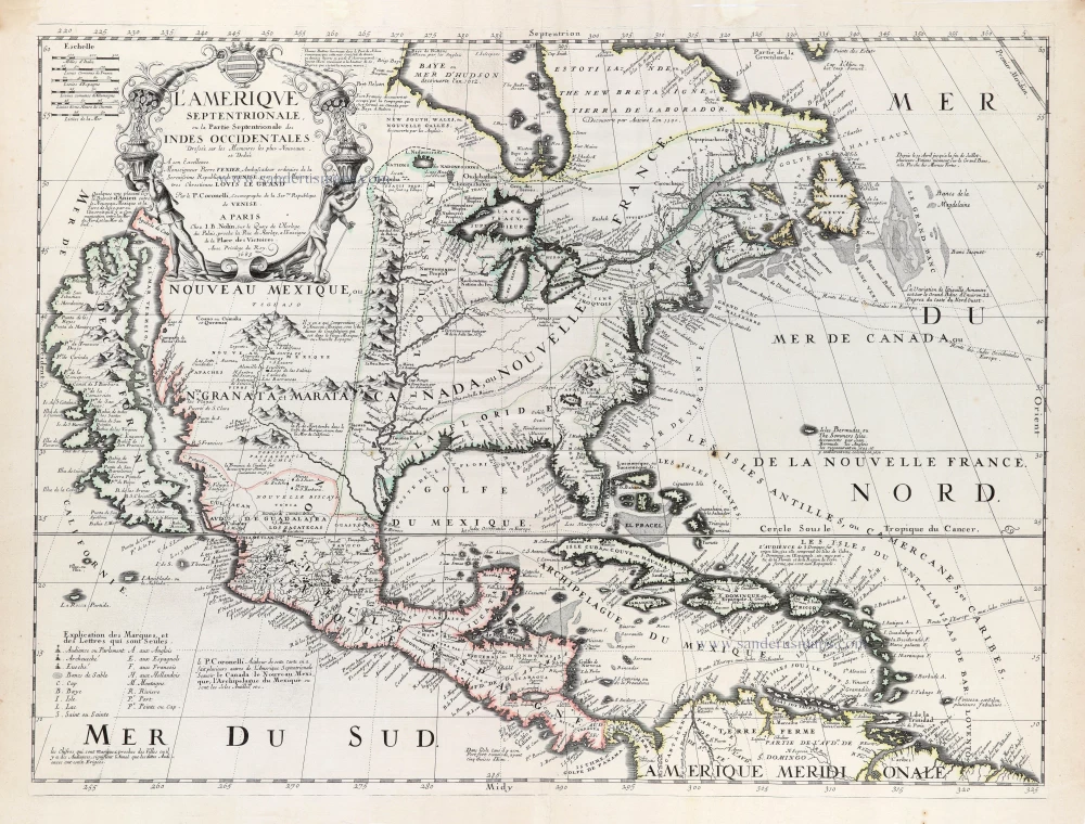
Rare first edition of the important Coronelli-Nolin map of North America
L'Amerique Septentrionale, ou la Partie Septentrionale des Indes Occidentales. 1689
North and Central America by Vincenzo Coronelli, published by J.B. Nolin.
[Item number: 31338]