This product is successfully added to your cart
Questions about this product? (#31099)

Authenticity Guarantee
All items are guaranteed authentic prints (woodcuts or engravings) or manuscripts made at or about (c.) the given date and in good condition unless stated otherwise. We don’t sell facsimiles or reproductions. We deliver every map with a Certificate of Authenticity containing all the details.

North America by Philippe Vandermaelen. 1827

Philippe Vandermaelen (Brussels, 1795-1869)

Cartographer, publisher and globemaker. Founder of Etablissement Géographique de Bruxelles. Produced educational maps, geographical dictionaries, numerous globes of different sizes, and works in geology, botany, chemistry and military science.

He published one of the most remarkable world atlases ever made: a world atlas with 400 maps on a uniform scale of ca. 1:1,6 million. This work, which appeared in 1827, was far ahead of his time, but the unparalleled zeal of its author could only justify its appearance. Philippe Vandermaelen, born in Brussels in 1795, educated himself in geography after his father died in 1816. Supported by his parents' fortune and assisted by his brother, Jean-François, he built a spacious Geographical Institute in 1829, where he installed a map-drawing section, a library and a museum. Between 1816 and 1825, he developed an enthusiastic interest in cartography, culminating in the conception of a predecessor of the International Map of the World: his world atlas on the scale of 1:1,6 million. This Atlas Universel drew wide attention, and the author was honoured by various learned societies. Shortly after its completion, Vandermaelen published another great work, the Atlas de l'Europe, with 165 maps on the uniform scale of 1:600.000. At that time, such a work superseded any other map of Europe.

After his rather sudden death in 1869, his brother, Jean-François, and his son, Joseph, tried in vain to continue the work of the Institute. In 1878, it ceased its activities, and in 1880, the heirs agreed to sell the Institute with its collections and libraries by auction.


back

Carte d'Assemblage de l'Amérique Septen-le

€400  ($436 / £336)
add to cart
Buy now
questions?
PRINT

Item Number:  31099  new Authenticity Guarantee

Category:  Antique maps > America > North America

Index map of North America by Philippe Vandermaelen.

With inset map of Alaska.

Title: Carte d'Assemblage de l'Amérique Septen-le

Date of the first edition: 1827.
Date of this map: 1827.

Lithograph, printed on paper.
Image size: 495 x 610mm (19.49 x 24.02 inches).
Sheet size: 515 x 665mm (20.28 x 26.18 inches).
Verso: Blank.
Condition: Tear closed in lower margin, running 7 cm into the image, upper margin trimmed.
Condition Rating: A

From: Atlas Universel de Géographie Physique, Statistique et Minéralogique ... dressé par Ph. Vandermaelen. Bruxelles, 1827. (Koeman III, p. 142, Vdm1)

Philippe Vandermaelen (Brussels, 1795-1869)

Cartographer, publisher and globemaker. Founder of Etablissement Géographique de Bruxelles. Produced educational maps, geographical dictionaries, numerous globes of different sizes, and works in geology, botany, chemistry and military science.

He published one of the most remarkable world atlases ever made: a world atlas with 400 maps on a uniform scale of ca. 1:1,6 million. This work, which appeared in 1827, was far ahead of his time, but the unparalleled zeal of its author could only justify its appearance. Philippe Vandermaelen, born in Brussels in 1795, educated himself in geography after his father died in 1816. Supported by his parents' fortune and assisted by his brother, Jean-François, he built a spacious Geographical Institute in 1829, where he installed a map-drawing section, a library and a museum. Between 1816 and 1825, he developed an enthusiastic interest in cartography, culminating in the conception of a predecessor of the International Map of the World: his world atlas on the scale of 1:1,6 million. This Atlas Universel drew wide attention, and the author was honoured by various learned societies. Shortly after its completion, Vandermaelen published another great work, the Atlas de l'Europe, with 165 maps on the uniform scale of 1:600.000. At that time, such a work superseded any other map of Europe.

After his rather sudden death in 1869, his brother, Jean-François, and his son, Joseph, tried in vain to continue the work of the Institute. In 1878, it ceased its activities, and in 1880, the heirs agreed to sell the Institute with its collections and libraries by auction.


Related items

West coast by Wytfliet, Cornelis van

Important map
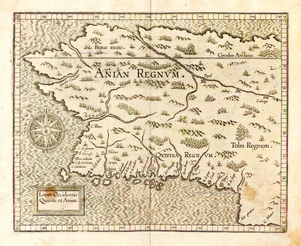
Limes Occidentis Quivira et Anian. 1607
West coast by Wytfliet, Cornelis van
[Item number: 26513]

€1900  ($2071 / £1596)
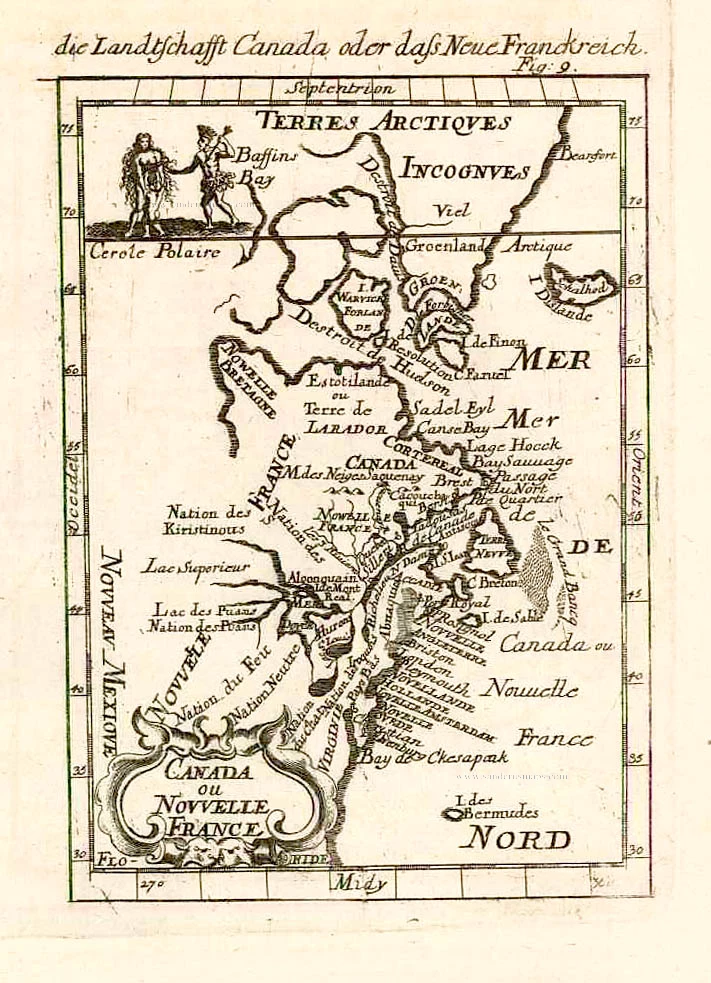
North America (Northeast), by A.M. Mallet.

Canada ou Nouvelle France. 1685
North America (Northeast), by A.M. Mallet.
[Item number: 26601]

€200  ($218 / £168)
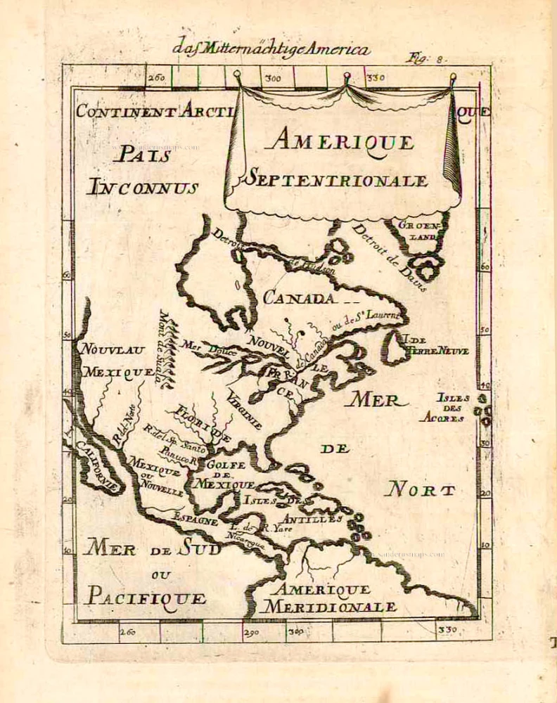
North America, by A.M. Mallet.

Amerique Septentrionale. 1685
North America, by A.M. Mallet.
[Item number: 26643]

€200  ($218 / £168)
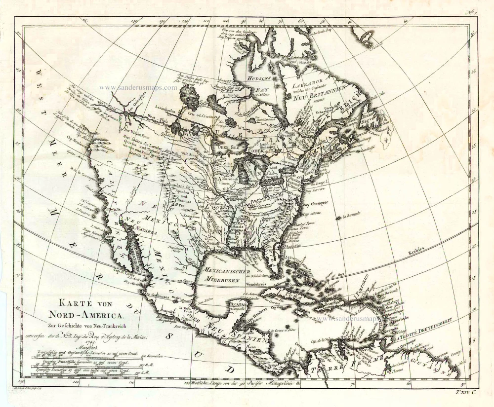
North America, by Jacques Nicolas Bellin.

Karte von Nord-America, zur Geschichte von Neu-Frankreich. 1747-74
North America, by Jacques Nicolas Bellin.
[Item number: 26799]

€250  ($272.5 / £210)
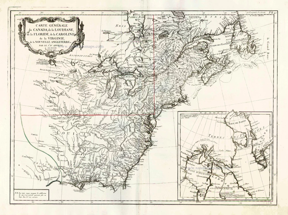
North America (East), by Paolo Santini.

Carte Générale du Canada, de la Louisiane, de la Floride, de la Caroline, de la Virginie, de la Nouvelle Angleterre etc. 1776-79
North America (East), by Paolo Santini.
[Item number: 26980]

€550  ($599.5 / £462)
Chios by Giovanni Francesco Camocio

Rare
Scio. Chio antiquam.e detto Insula posta nello Arcipelago distante da Capo bianco dalla Nattolia mill: 10. gia tempo signoreggiata da Genovesi et ora dalla caxa Ottomana: ... After 1575
Chios by Giovanni Francesco Camocio
[Item number: 27617]

€700  ($763 / £588)
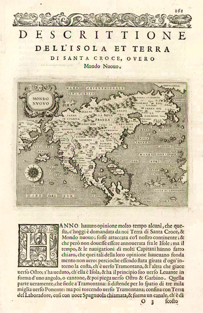
Tomaso Porcacchi., North America

Earliest obtainable map of North America
Mondo Nuovo - Descrittione del l'Isola et Terra di Sancta Croce, overo Mondo Nuovo. 1576
Tomaso Porcacchi., North America
[Item number: 27651]

€1200  ($1308 / £1008)
North America, by Girolamo Ruscelli.

Early 'Texas' map
Nueva Hispania Tabula Nova. 1574
North America, by Girolamo Ruscelli.
[Item number: 27755]

€1100  ($1199 / £924)
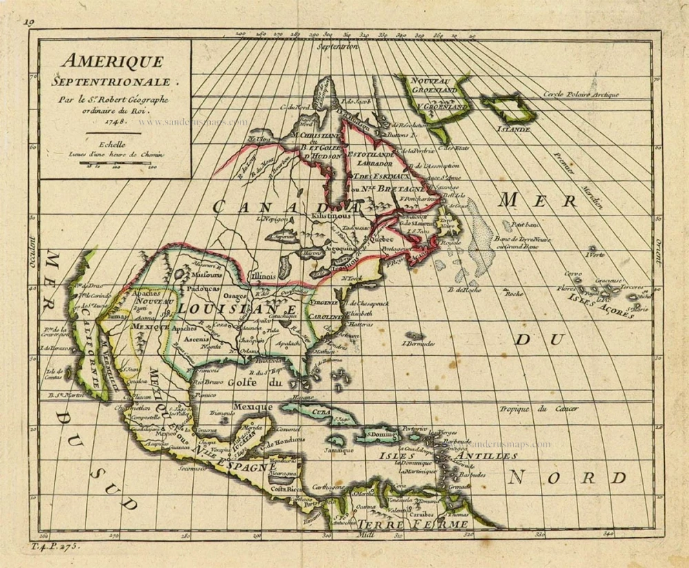
North America by Robert de Vaugondy.

Amerique Septentrionale. 1748
North America by Robert de Vaugondy.
[Item number: 28157]

€250  ($272.5 / £210)
North America, by Nicolas Sanson, published by Pierre Mortier after A.H. Jaillot.

Amerique Septentrionale, Divisee en ses Principales Parties. 1694
North America, by Nicolas Sanson, published by Pierre Mortier after A.H. Jaillot.
[Item number: 29125]

€1700  ($1853 / £1428)
North-Eastern Coasts of North America (Canada), by Frederick de Wit.

Septemtrionaliora Americae à Groenlandia, per Freta Davidis et Hudson, ad Terram Novam = De Noordelyckste Zee kusten van America van Goenland door de Straet Davis ende Straet Hudson tot Terra Neuf. c. 1690
North-Eastern Coasts of North America (Canada), by Frederick de Wit.
[Item number: 29242]

€900  ($981 / £756)
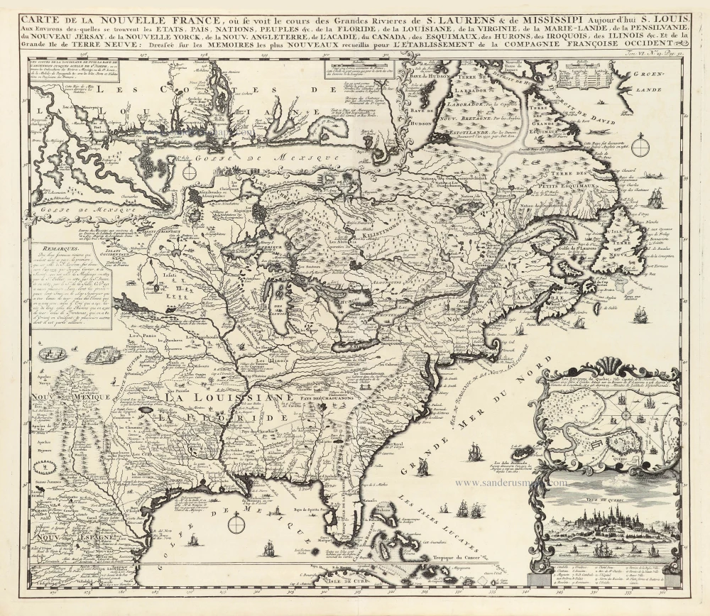
Eastern North America (U.S.), by Zacharias Châtelain.

Carte de la Nouvelle France, ou se Voit le Cours des Grandes Rivieres de S. Laurens & de Mississipi Aujourd'hui S. Louis, Aux environs des quelles se trouvent les Etats, Païs, Nations, Peuples &c. de la Floride, de la Louisiane, de la Virginie, de la Marie-Lande, de la Pensilvanie, du Nouveau Jersay, de la Nouvelle Yorck, de la Nouv. Angleterre, de l'Acadie, du Canada, des Esquimaux, des Hurons, des Iroquois, des Ilinois &c. Et de la Grande Ile de Terre Neuve:. 1719
Eastern North America (U.S.), by Zacharias Châtelain.
[Item number: 29365]

€2400  ($2616 / £2016)
North America, by Zacharias Châtelain.

Nouvelle carte de l'Amérique Septentrionale dressée sur les plus nouvelles observations de Messieurs de l'Académie des Sciences et des meilleurs Géographes avec des tables très Instructives et Curieuses de la Division de tous les Etats et les différents souverains qui en sont possesseur. 1713
North America, by Zacharias Châtelain.
[Item number: 29445]

€500  ($545 / £420)
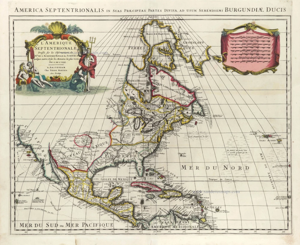
North America by G. de L'Isle, published by Pierre Mortier.

L'Amerique Septentrionale. 1708
North America by G. de L'Isle, published by Pierre Mortier.
[Item number: 29510]

€1600  ($1744 / £1344)
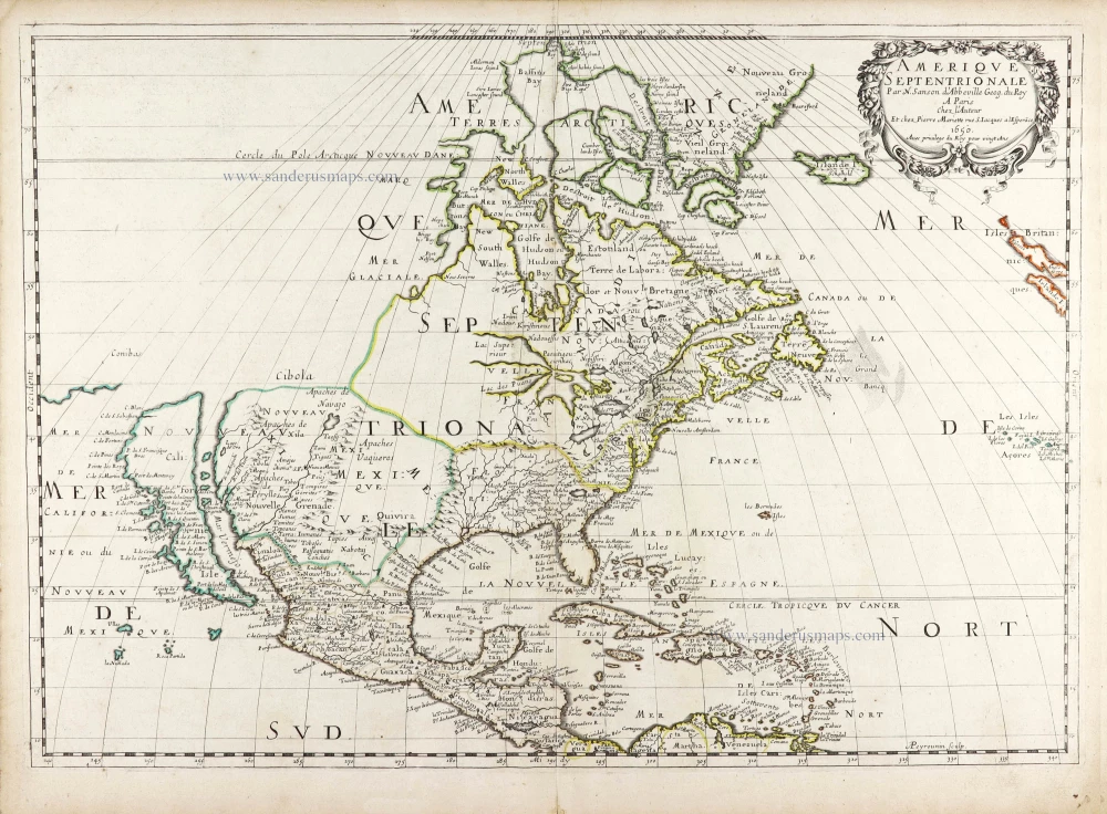
Nicolas Sanson's landmark map of North America, scarce second state.

Landmark map of North Amerika
Amerique Septentrionale. 1652
Nicolas Sanson's landmark map of North America, scarce second state.
[Item number: 29597]

€3600  ($3924 / £3024)
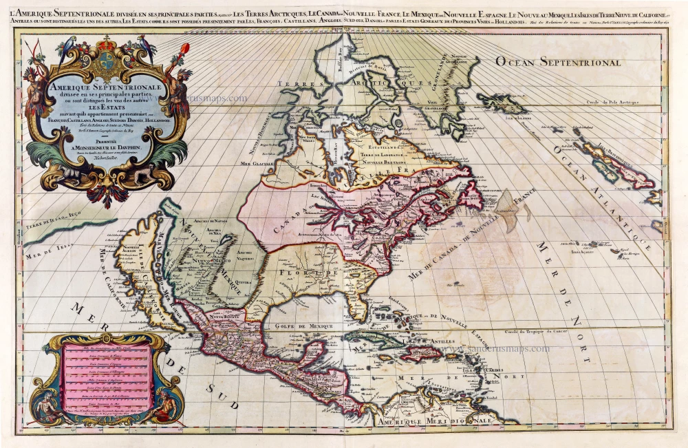
North America by A. H. Jaillot, published by Pierre Mortier.

Big and spectacular map, heightened in gold.
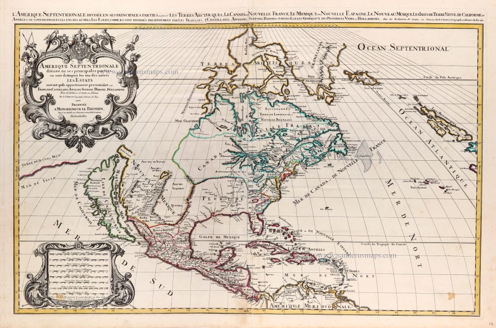
Amerique Septentrionale, divisée en ses principales parties, ou sont distingués les uns des autres Les Estats suivant qu'ils appartiennet Presentemet aux Francois, Castillans, Anglois, Suedois, Danois, Hollandois. 1692
North America by A. H. Jaillot, published by Pierre Mortier.
[Item number: 29895]

€4000  ($4360 / £3360)
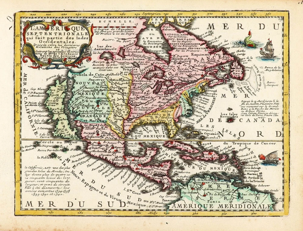
North America by Chiquet Jacques.

California as an island.
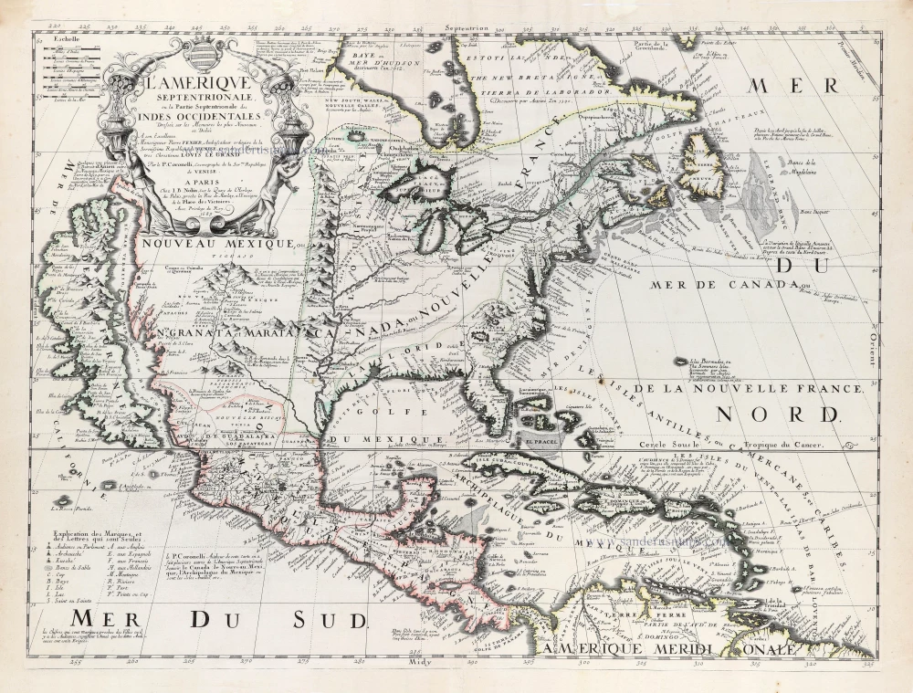
L'Amerique Septentrionale qui fait partie des Indes Occidentales. 1719
North America by Chiquet Jacques.
[Item number: 30085]

€520  ($566.8 / £436.8)
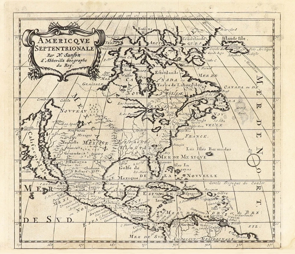
North America by Nicolas Sanson, published by Nicolas Chemereau.

California as an island.
Americque Septentrionale. 1715
North America by Nicolas Sanson, published by Nicolas Chemereau.
[Item number: 30086]

€450  ($490.5 / £378)
North America by Giovanni Giacomo de Rossi.

California as an island.
L'America Settentrionale. 1677
North America by Giovanni Giacomo de Rossi.
[Item number: 30088]

€1800  ($1962 / £1512)
North America by Louis Brion de la Tour.

Carte de la Partie de l'Amérique Septentrionale, comprenant les Possessions Espagnoles. 1788
North America by Louis Brion de la Tour.
[Item number: 30144]

€180  ($196.2 / £151.2)