
Scandinavia by Sebastian Münster 1542
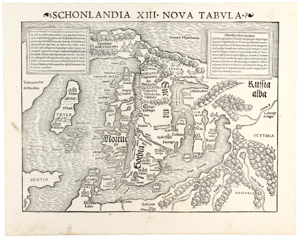
An important and fascinating early woodcut map of Scandinavia by Sebastian Münster, published in the 1542 Latin edition of his Geographia Universalis. First appearing in 1540, this map represents one of the earliest printed cartographic depictions of Scandinavia in a modern Ptolemaic atlas, illustrating European geographical knowledge of northern Europe during the first half of the sixteenth century.
The map encompasses the Scandinavian Peninsula, Denmark, Iceland, Greenland, the Baltic Sea and parts of northern Germany, Poland and Russia. Its geographical representation differs markedly from modern cartography, reflecting the limited knowledge of northern Europe available to sixteenth-century scholars.
Norway and Sweden occupy the centre of the composition, separated by an exaggerated mountain range running along the Scandinavian Peninsula. Denmark appears at the lower left, while Finland and the territories bordering the Baltic Sea extend towards the east. Numerous towns, rivers, forests and mountain ranges are indicated, with settlements represented by small pictorial symbols.
Particularly interesting is the representation of Iceland, identified as Thyle, and Greenland, labelled Gronland id est, Virens terra (Greenland, that is, Green Land). Iceland is depicted with a highly distorted outline, while Greenland appears as a mountainous landmass in the far north, reflecting the uncertain geographical relationship between the North Atlantic islands and the European mainland.
The map also contains references to the classical geographical tradition, including the legendary island of Thule, long associated with the northernmost limits of the known world. In the northeast, the territories of Lapland and Russia are represented with extensive forests, mountains and scattered settlements.
Two large rectangular text panels occupy the upper corners. The left panel provides a geographical and historical description of Denmark, while the right lists the principal towns and settlements of Scandinavia. These explanatory texts are characteristic of Münster's scholarly approach, combining cartography with geographical and historical information.
The title, SCHONLANDIA XIII NOVA TABULA, is prominently displayed above the map in large Roman capitals. The woodcut is distinguished by its vigorous engraving, decorative mountain chains, stylised forests, pictorial town symbols and densely engraved seas, all characteristic of early sixteenth-century mapmaking.
Münster's map of Scandinavia belongs to this important group of modern maps. Its geography reflects the cartographic traditions associated with Claudius Clavus and Jacob Ziegler, whose pioneering representations of northern Europe contributed significantly to the development of Renaissance Scandinavian cartography.
Published by Heinrich Petri in Basel in 1542, this example comes from the second Latin edition of Münster's Geographia Universalis, one of the most influential geographical publications of the sixteenth century.
A fine, early impression of Münster's important map of Scandinavia, combining the geographical uncertainties of Renaissance cartography with the distinctive visual character of sixteenth-century woodcut engraving. An attractive and historically significant example of early printed Scandinavian cartography.
Sebastian Münster (1488-1552)
Sebastian Münster, a German geographer, cartographer, Hebraist, and theologian, was born in Ingelheim, near Mainz In 1505, he went to Heidelberg to enter the Franciscan order. In 1507 he went to Louvain, where he studied mathematics, geography, and astronomy. In 1509 Münster became a student of Konrad Pelikan, who taught Hebrew and Greek as well as mathematics and cosmography. In 1518 he completed his studies at the University of Tübingen. He was the favorite of the famous mathematician and astronomer Johann Stöffler.
In 1524 Münster was appointed professor of Hebrew at Heidelberg University. In 1525 he published his first map as part of a broadside: The Instrument of the Suns combined a map, calendar, astrological almanac, sundial, and nocturnal on one attractive sheet, suitable for wall mounting.
In 1540 he published a Latin edition of Ptolemy's Geographia with illustrations. He based this edition on the Latin translation by Willibald Pirkheimer and produced new maps to supplement the Ptolemaic maps. The twenty-seven maps of the Ptolemaic canon are supplemented by twenty-one new maps. Further editions appeared in 1541 and 1542.
In 1544 he published the Cosmographia, a bulky book with 659 pages and some 520 woodcuts. Maps in this edition included three maps from the Ptolemaic canon and fourteen modern maps (from previous editions of the Geographia), as well as nine new maps. Later editions (1545, 1546, 1548) enlarged the Cosmographia. The 1550 edition contains cities, portraits, and costumes. These editions in both Latin and German constitute the full fruition of Münster's dream of a comprehensive geography.
The Cosmographia was one of the most successful works of the 16th century. It passed through 24 editions in 100 years, in different languages, including Latin, French, Italian, English, and even Czech. The last German edition was published in 1628.
He died at Basel of the plague in 1552.
As a cartographer, Münster deserves special recognition for formulating a plan for a comprehensive and uniform map of a country. As a geographer, his greatest achievement was the Cosmographia. (Karrow).
Schonlandia XIII Nova Tabula
Item Number: 33411 new Authenticity Guarantee
Category: Antique maps > America > North America
Scandinavia by Sebastian Münster.
Title: Schonlandia XIII Nova Tabula
Date of the first edition: 1540.
Date of this map: 1542.
Woodcut, printed on paper.
Image size excluding title: 260 x 345mm (10¼ x 13½ inches).
Sheet size: 310 x 390mm (12¼ x 15¼ inches).
Verso: Latin text.
Condition: Excellent.
Condition Rating: A+.
From: Münster S. Geographia Universalis, Vetus et Nova, complectens Claudii Prolemaei Alexandrini enarrationis libros VIII. Basel, Heinrich Petri, 1542.
An important and fascinating early woodcut map of Scandinavia by Sebastian Münster, published in the 1542 Latin edition of his Geographia Universalis. First appearing in 1540, this map represents one of the earliest printed cartographic depictions of Scandinavia in a modern Ptolemaic atlas, illustrating European geographical knowledge of northern Europe during the first half of the sixteenth century.
The map encompasses the Scandinavian Peninsula, Denmark, Iceland, Greenland, the Baltic Sea and parts of northern Germany, Poland and Russia. Its geographical representation differs markedly from modern cartography, reflecting the limited knowledge of northern Europe available to sixteenth-century scholars.
Norway and Sweden occupy the centre of the composition, separated by an exaggerated mountain range running along the Scandinavian Peninsula. Denmark appears at the lower left, while Finland and the territories bordering the Baltic Sea extend towards the east. Numerous towns, rivers, forests and mountain ranges are indicated, with settlements represented by small pictorial symbols.
Particularly interesting is the representation of Iceland, identified as Thyle, and Greenland, labelled Gronland id est, Virens terra (Greenland, that is, Green Land). Iceland is depicted with a highly distorted outline, while Greenland appears as a mountainous landmass in the far north, reflecting the uncertain geographical relationship between the North Atlantic islands and the European mainland.
The map also contains references to the classical geographical tradition, including the legendary island of Thule, long associated with the northernmost limits of the known world. In the northeast, the territories of Lapland and Russia are represented with extensive forests, mountains and scattered settlements.
Two large rectangular text panels occupy the upper corners. The left panel provides a geographical and historical description of Denmark, while the right lists the principal towns and settlements of Scandinavia. These explanatory texts are characteristic of Münster's scholarly approach, combining cartography with geographical and historical information.
The title, SCHONLANDIA XIII NOVA TABULA, is prominently displayed above the map in large Roman capitals. The woodcut is distinguished by its vigorous engraving, decorative mountain chains, stylised forests, pictorial town symbols and densely engraved seas, all characteristic of early sixteenth-century mapmaking.
Münster's map of Scandinavia belongs to this important group of modern maps. Its geography reflects the cartographic traditions associated with Claudius Clavus and Jacob Ziegler, whose pioneering representations of northern Europe contributed significantly to the development of Renaissance Scandinavian cartography.
Published by Heinrich Petri in Basel in 1542, this example comes from the second Latin edition of Münster's Geographia Universalis, one of the most influential geographical publications of the sixteenth century.
A fine, early impression of Münster's important map of Scandinavia, combining the geographical uncertainties of Renaissance cartography with the distinctive visual character of sixteenth-century woodcut engraving. An attractive and historically significant example of early printed Scandinavian cartography.
Sebastian Münster (1488-1552)
Sebastian Münster, a German geographer, cartographer, Hebraist, and theologian, was born in Ingelheim, near Mainz In 1505, he went to Heidelberg to enter the Franciscan order. In 1507 he went to Louvain, where he studied mathematics, geography, and astronomy. In 1509 Münster became a student of Konrad Pelikan, who taught Hebrew and Greek as well as mathematics and cosmography. In 1518 he completed his studies at the University of Tübingen. He was the favorite of the famous mathematician and astronomer Johann Stöffler.
In 1524 Münster was appointed professor of Hebrew at Heidelberg University. In 1525 he published his first map as part of a broadside: The Instrument of the Suns combined a map, calendar, astrological almanac, sundial, and nocturnal on one attractive sheet, suitable for wall mounting.
In 1540 he published a Latin edition of Ptolemy's Geographia with illustrations. He based this edition on the Latin translation by Willibald Pirkheimer and produced new maps to supplement the Ptolemaic maps. The twenty-seven maps of the Ptolemaic canon are supplemented by twenty-one new maps. Further editions appeared in 1541 and 1542.
In 1544 he published the Cosmographia, a bulky book with 659 pages and some 520 woodcuts. Maps in this edition included three maps from the Ptolemaic canon and fourteen modern maps (from previous editions of the Geographia), as well as nine new maps. Later editions (1545, 1546, 1548) enlarged the Cosmographia. The 1550 edition contains cities, portraits, and costumes. These editions in both Latin and German constitute the full fruition of Münster's dream of a comprehensive geography.
The Cosmographia was one of the most successful works of the 16th century. It passed through 24 editions in 100 years, in different languages, including Latin, French, Italian, English, and even Czech. The last German edition was published in 1628.
He died at Basel of the plague in 1552.
As a cartographer, Münster deserves special recognition for formulating a plan for a comprehensive and uniform map of a country. As a geographer, his greatest achievement was the Cosmographia. (Karrow).
Related items
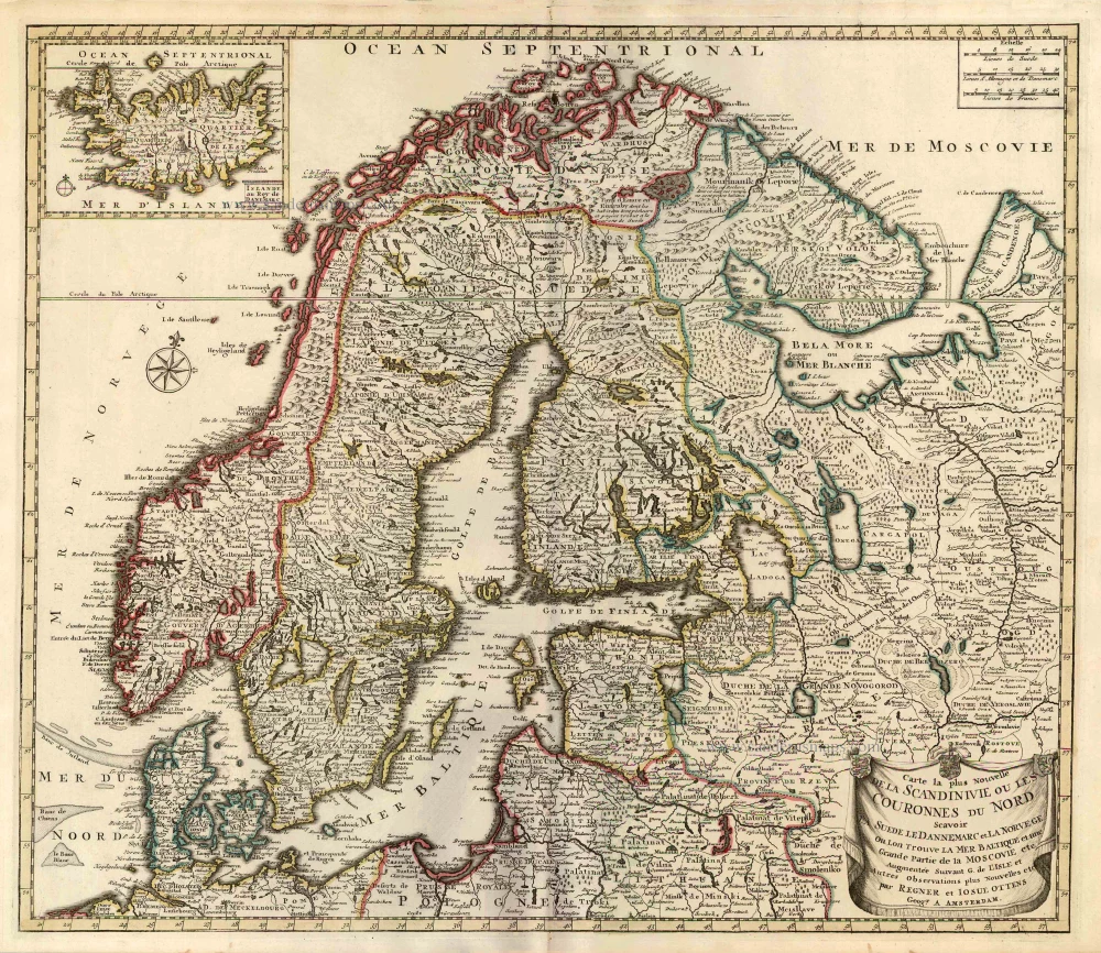
Carte la Plus Nouvelle de la Scandinivie ou les Couronnes du Nord Scavoir La Suede le Dannemarc et La Norvege Ou Lon Trouve La Mer Baltique et une Grande Partie de la Moscovie etc. 1730-45
Scandinavia par R. & I. Ottens.
[Item number: 25858]
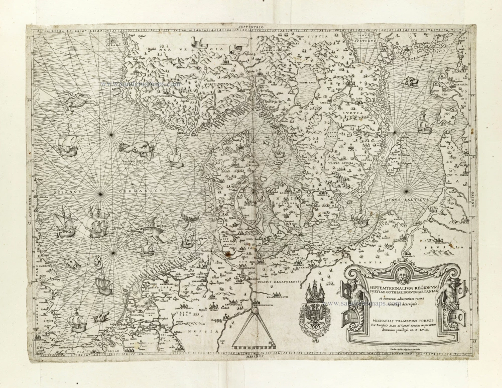
Rare and important map.
Septemtrionalium Regionum Svetiae Gothiae Norvegiae Daniae et terrarum adiacentium recens exactaq[ue] descriptio. 1558
Scandinavia, by Michele Tramezini.
[Item number: 27045]
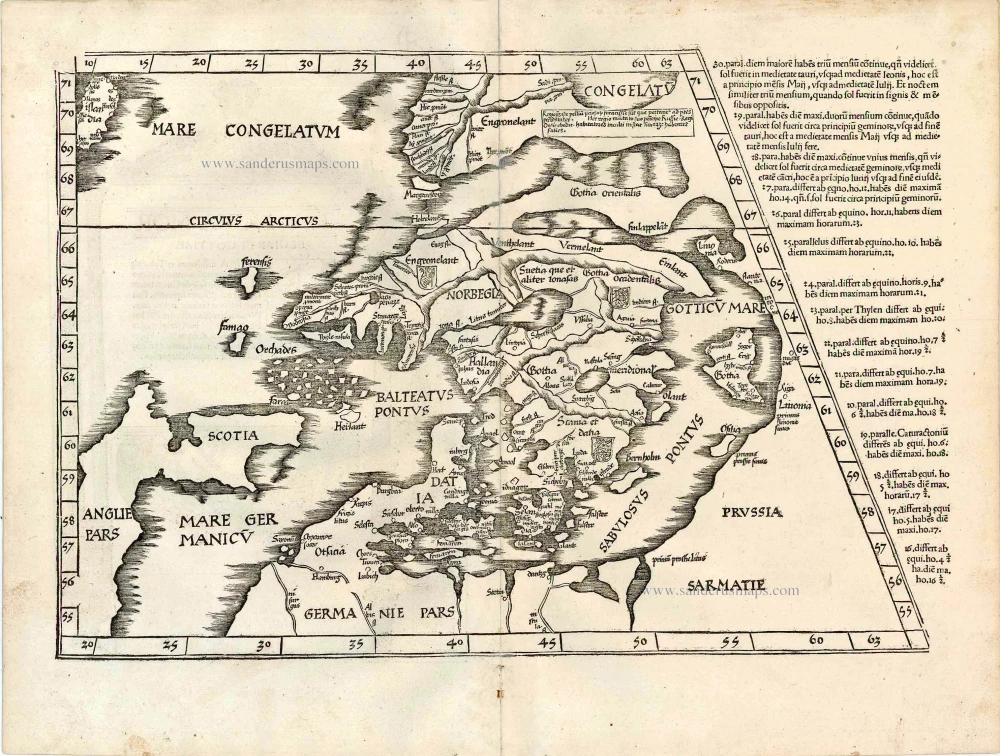
Early edition with Durer's woodcut panels on verso.
[No title - on verso:] Tab. Nova Norbegiae et Gottiae 1525
Ptolemy map of Scandinavia by Lorenz Fries, after Matin Waldseemüller.
[Item number: 27930]
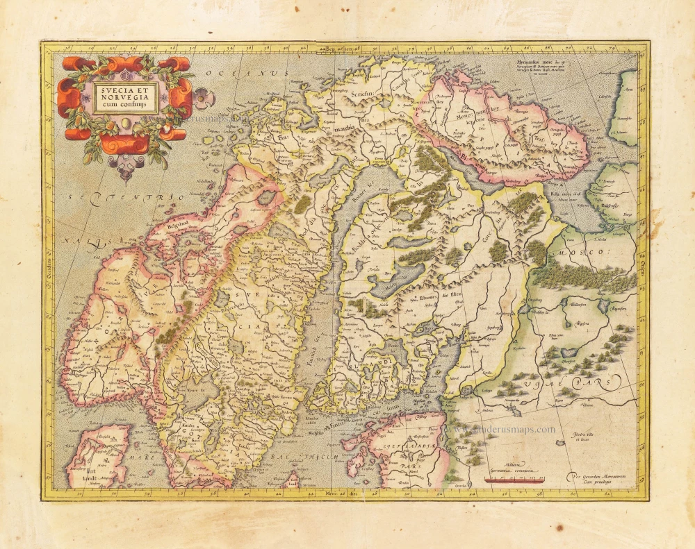
Svecia et Norvegia cum confinijs. 1628
Scandinavia, by Gerard Mercator.
[Item number: 28815]
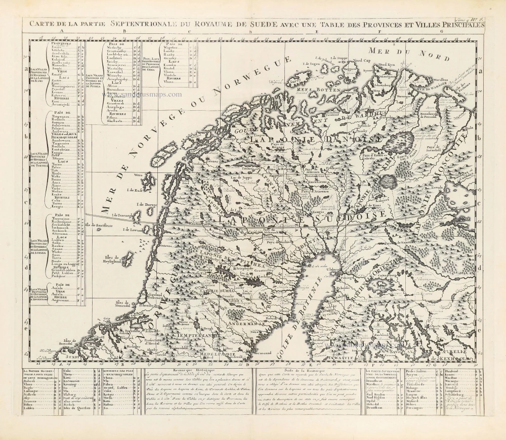
Carte de la Partie Septentrionale du Royaume de Suède avec une Table des Provinces et Villes Principales. 1714
Northern Scandinavia by Zacharias Châtelain.
[Item number: 29412]

Carte de la Partie Meridionale du Royaume de Suède avec une Table des Provinces et Villes Principales. 1714
Southern Scandinavia by Zacharias Châtelain.
[Item number: 29413]

Nouvelle Carte de Scandinavie ou des Etats du Nord Dressée sur les observations les plus nouvelles des meilleurs Géographes avec les Armes des Provinces de la Suède et des Tables tres instructives. 1714
Scandinavia, by Zacharias Châtelain.
[Item number: 29499]
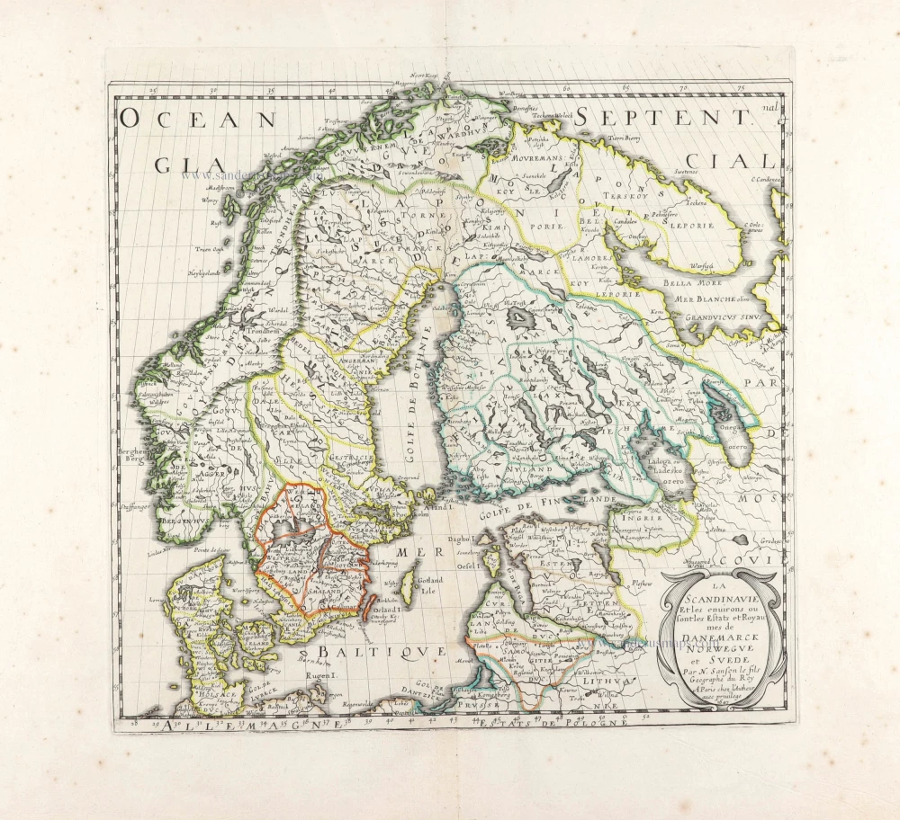
La Scandinavie et les environs ou sont les Estats et Royaumes de Danemarck Norwegue et Suede. 1652
Scandinavia by Nicolas Sanson.
[Item number: 29607]
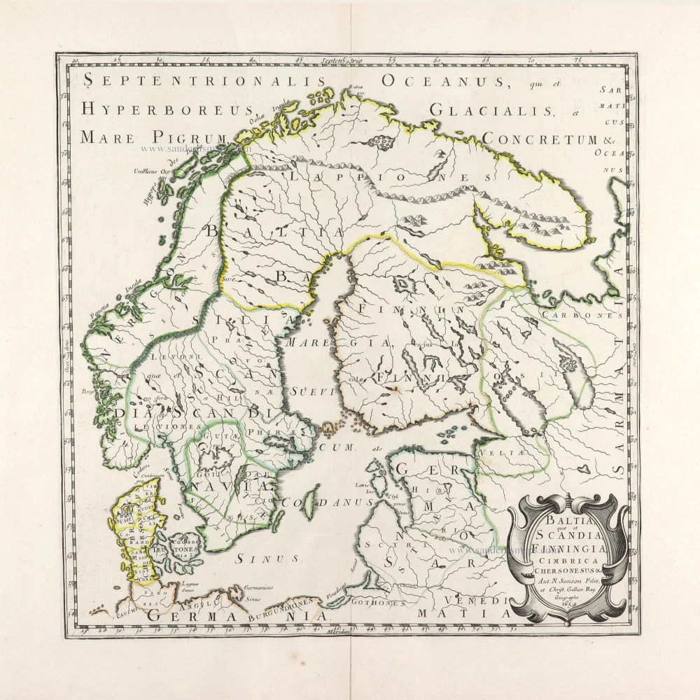
Baltia, quae et Scandia, Cimbrica Chersonesus &c. 1654-58
Scandinavia by Nicolas Sanson.
[Item number: 29608]
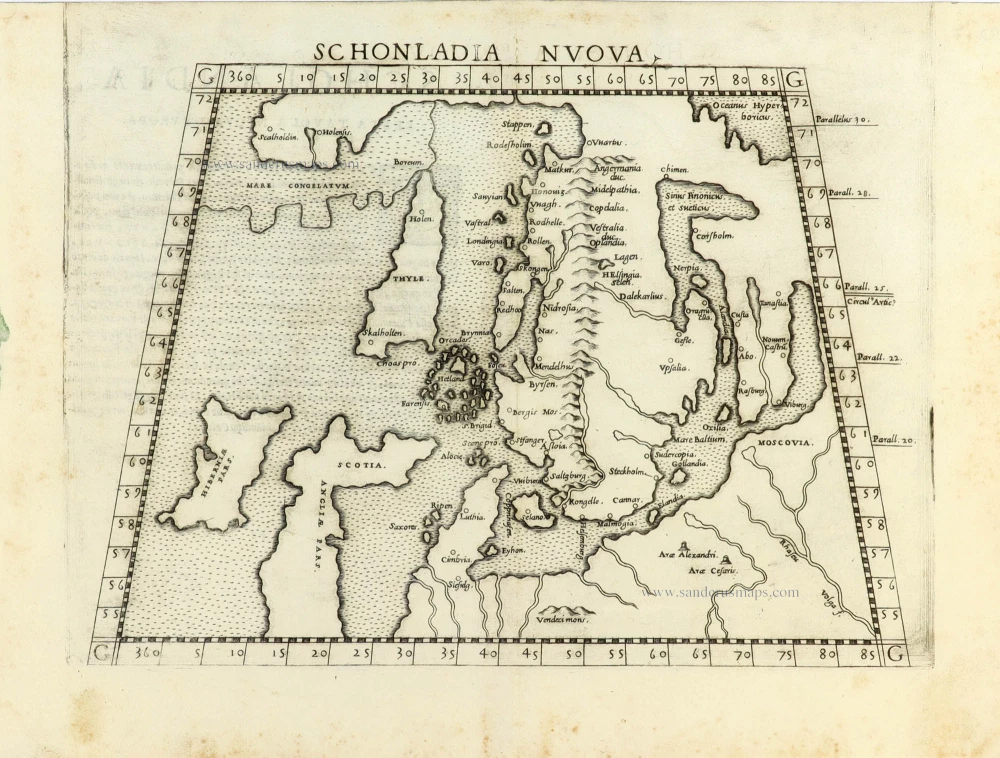
First edition.
Schonladia Nuova. 1561
Scandinavia by Girolamo Ruscelli.
[Item number: 31087]
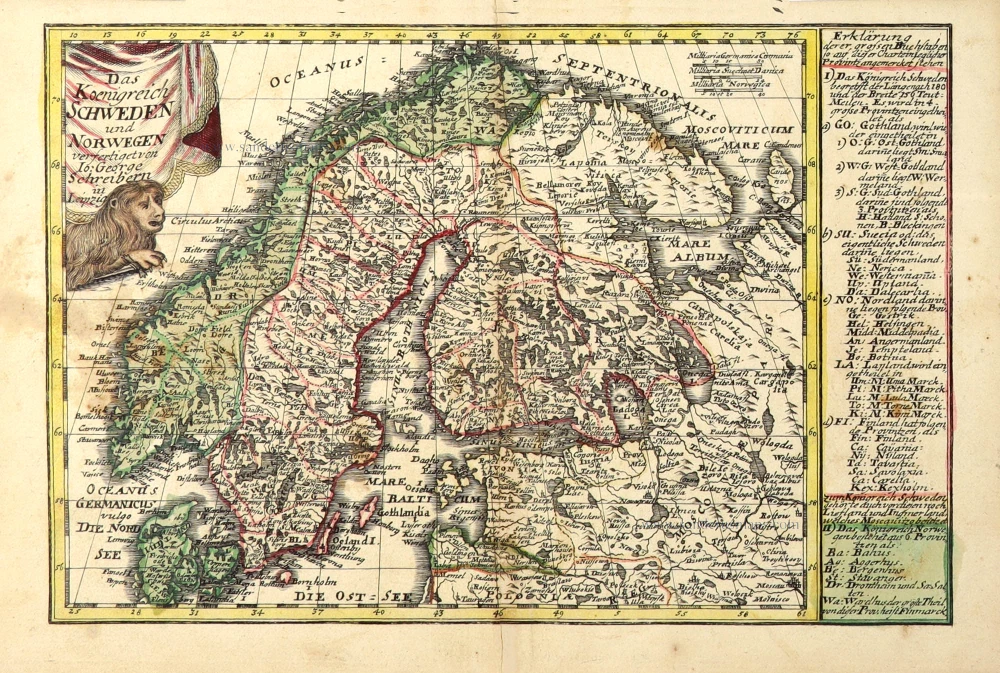
Das Koenigreich Schweden und Norwegen. c. 1745.
Scandinavia by J.G. Schreiber.
[Item number: 31108]
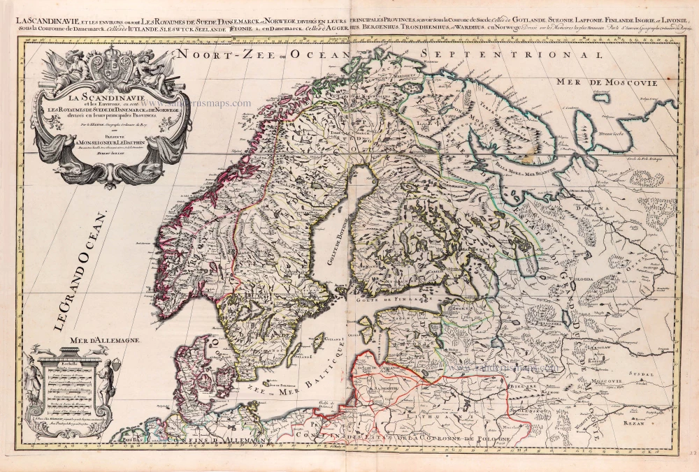
La Scandinavie, et les Environs, ou sont les Royaumes de Suede de Danemarck, et de Norwege. divisés en leurs principales Provinces. 1692
Scandinavia by N. Sanson, so-called published by Hubert Jaillot. (Pirated edition by Pierre Mortier).
[Item number: 31170]
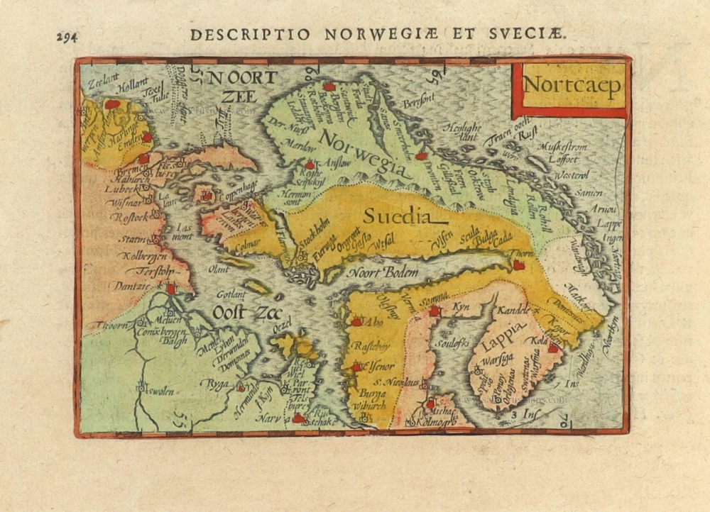
In rare original colour
Nortcaep 1602
Scandinavia by Barent Langenes, published by Petrus Bertius.
[Item number: 31204]
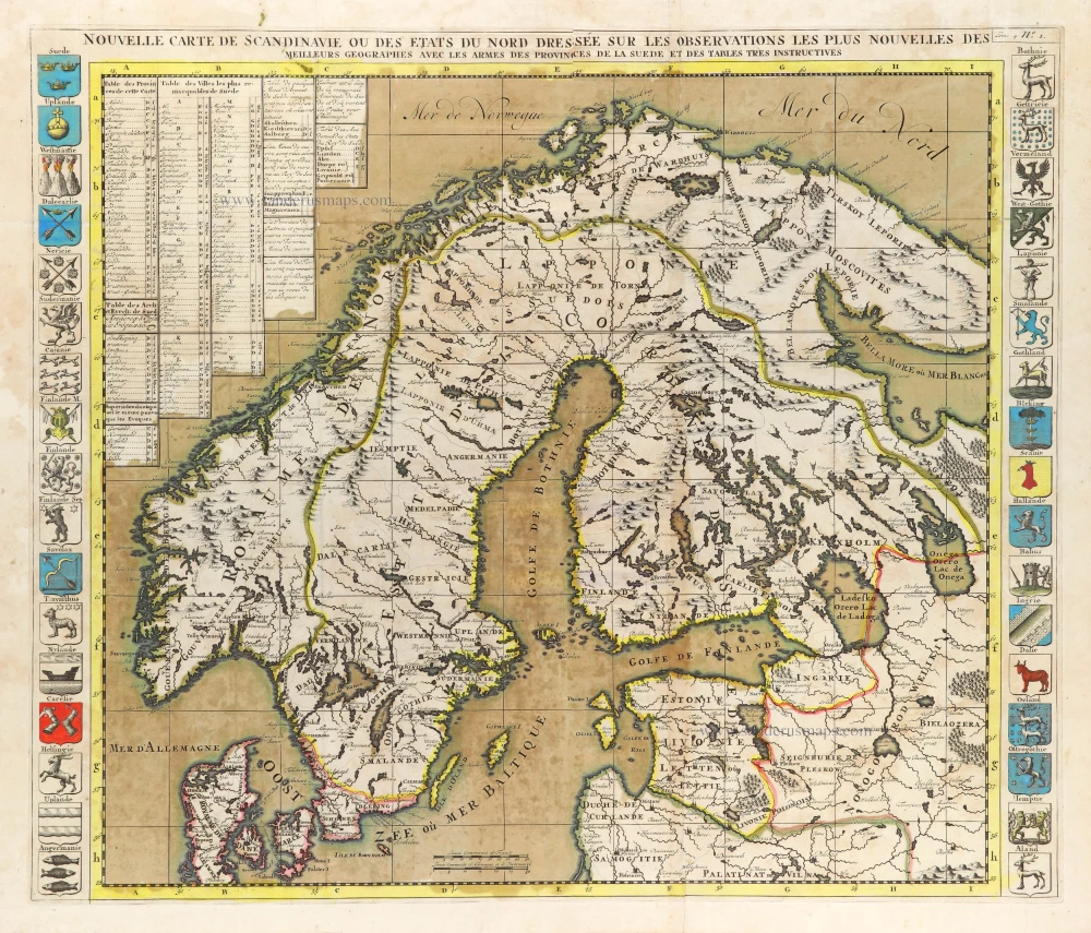
In rare original colour
Nouvelle Carte de Scandinavie ou des Etats du Nord Dressée sur les observations les plus nouvelles des meilleurs Géographes avec les Armes des Provinces de la Suède et des Tables tres instructives. 1714
Scandinavia, by Zacharias Châtelain.
[Item number: 31424]

Suecia et Norvegia ect. 1618
Scandinavia by Petrus Bertius, published by Jodocus Hondius II.
[Item number: 31631]
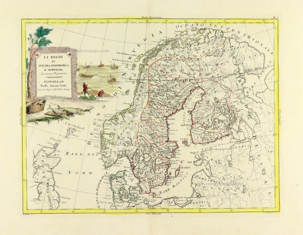
Li Regni di Svezia, Danimarca, e Norvegia. 1779-1785
Scandinavia, by Antonio Zatta.
[Item number: 31812]
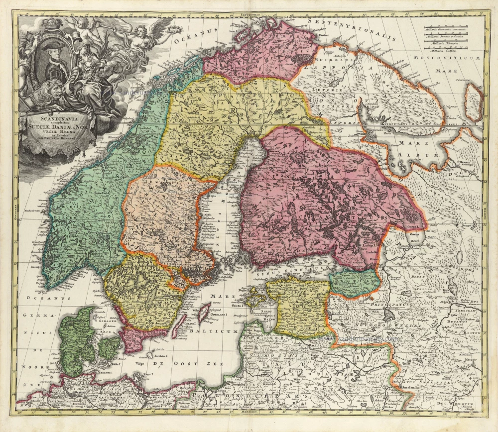
Scandinavia complectens Sueciae, Daniae, & Norvegiae Regna. 1712
Scandinavia, by Homann J.B.
[Item number: 32203]
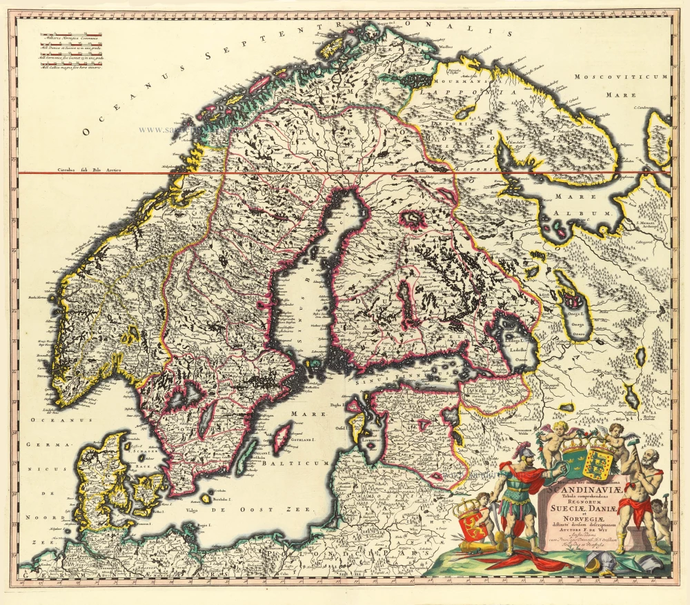
Novissima nec non Perfectissima Scandinaviae Tabula Comprehendens Regnorum Sueciae, Daniae et Novegiae. 1689-1691
Scandinavia by Frederick de Wit.
[Item number: 32208]

Scarce
Accuratissima Regnorum Sueciae, Daniae, et Norvegiae, Tabula. c. 1680
Scandinavia by Justus Danckerts
[Item number: 32613]

La Scandinavia Divisa nelli suoi Regni di Suezia, Danimarca, Norvegia, e Paese de Lapponi, 1678
Scandinavia by Nicolas Sanson, published by Giovanni de Rossi.
[Item number: 32900]