This product is successfully added to your cart
Questions about this product? (#29499)

Authenticity Guarantee
All items are guaranteed authentic prints (woodcuts or engravings) or manuscripts made at or about (c.) the given date and in good condition unless stated otherwise. We don’t sell facsimiles or reproductions. We deliver every map with a Certificate of Authenticity containing all the details.

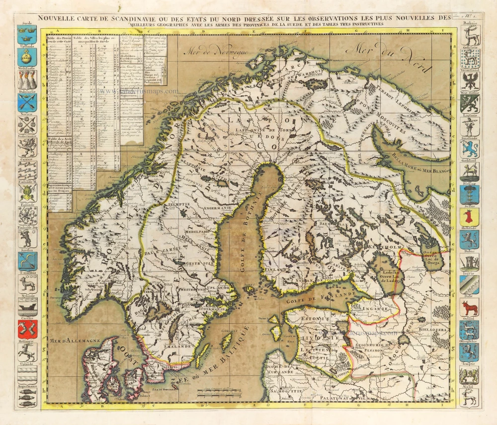
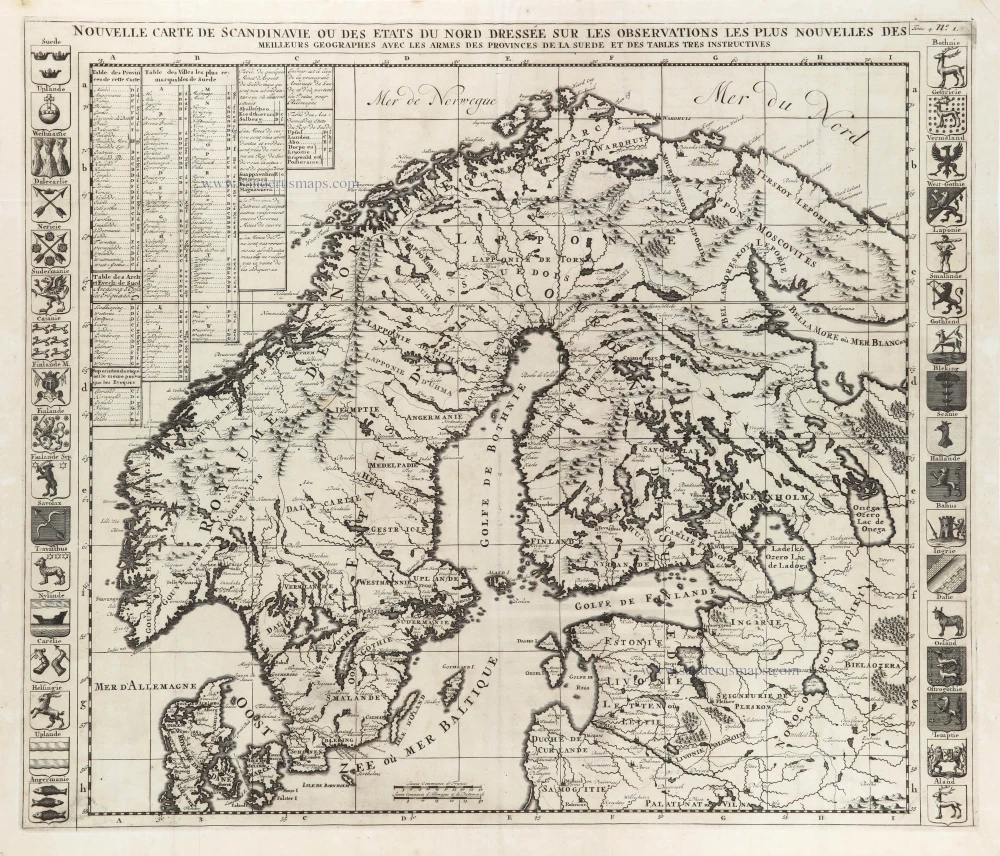
Scandinavia, by Zacharias Châtelain. 1714

The Châtelain Family

Zacharias Châtelain (1684-1743) was a bookseller and publisher of Amsterdam. He was succeeded by his sons Zacharias jr and Henry Abraham. The Châtelain family was best known for the historical atlas Atlas Historique, ou nouvelle introduction à l’histoire…, a major work of its time. It was an encyclopaedia in seven volumes, including geography as one of its main subjects. The atlas was published in Amsterdam in seven volumes in various editions with different imprints from 1705 to 1739. An anonym person (Mr. C***) compiled the work with compositions of text, maps, plates and chronological and genealogical tables by Gueudeville, except volume 7, where H.P. Limiers took over this task. The maps were made mainly after the work of Guillaume de l'Isle.

The 1705 edition was published with the imprint “L’Honoré & Châtelain”. Later editions had the imprint: “les Frères Châtelain Libraires” or “L’Honoré & Châtelain Libraires”.

back

Nouvelle Carte de Scandinavie ou des Etats du Nord Dressée sur les observations les plus nouvelles des meilleurs Géographes avec les Armes des Provinces de la Suède et des Tables tres instructives.

€340  ($380.8 / £285.6)
add to cart
Buy now
questions?
PRINT

Item Number:  29499 Authenticity Guarantee

Category:  Antique maps > Europe > Northern Europe

Old, antique map of Scandinavia, by Zacharias Châtelain.

Title: Nouvelle Carte de Scandinavie ou des Etats du Nord Dressée sur les observations les plus nouvelles des meilleurs Géographes avec les Armes des Provinces de la Suède et des Tables tres instructives.
Tome 4. N° 1.

Date of the first edition: 1714.
Date of this map: 1714.

Copper engraving, printed on paper.
Map size: 500 x 585mm (19.69 x 23.03 inches).
Sheet size: 535 x 620mm (21.06 x 24.41 inches).
Verso: Blank.
Condition: Excellent, folds as issued.
Condition Rating: A+.

From: Châtelain Z. Atlas Historique, ou Nouvelle Introduction A l'Histoire, à la Chronologie & à la Geographie Ancienne & Moderne; ... Tome IV. Qui comprend le Danemarck, la Suède, la Pologne, la Moscovie, la Turquie, etc. A Amsterdam, Chez les Frères Châtelain Libraires, M.DCC.XIV. (1714). (Koeman II, p. 36, Cha5)

The Châtelain Family

Zacharias Châtelain (1684-1743) was a bookseller and publisher of Amsterdam. He was succeeded by his sons Zacharias jr and Henry Abraham. The Châtelain family was best known for the historical atlas Atlas Historique, ou nouvelle introduction à l’histoire…, a major work of its time. It was an encyclopaedia in seven volumes, including geography as one of its main subjects. The atlas was published in Amsterdam in seven volumes in various editions with different imprints from 1705 to 1739. An anonym person (Mr. C***) compiled the work with compositions of text, maps, plates and chronological and genealogical tables by Gueudeville, except volume 7, where H.P. Limiers took over this task. The maps were made mainly after the work of Guillaume de l'Isle.

The 1705 edition was published with the imprint “L’Honoré & Châtelain”. Later editions had the imprint: “les Frères Châtelain Libraires” or “L’Honoré & Châtelain Libraires”.
Related items

SCANDINAVIA by Schenk P.

La Scandinavie, et les Environs, ou sont les Royaumes de Suede, de Danemark et de Norwege, divises en leurs principales Provinces. c. 1700
SCANDINAVIA by Schenk P.
[Item number: 19145]

€420  ($470.4 / £352.8)
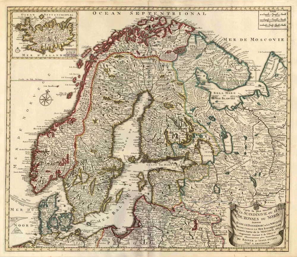
Scandinavia par R. & I. Ottens.

Carte la Plus Nouvelle de la Scandinivie ou les Couronnes du Nord Scavoir La Suede le Dannemarc et La Norvege Ou Lon Trouve La Mer Baltique et une Grande Partie de la Moscovie etc. 1730-45
Scandinavia par R. & I. Ottens.
[Item number: 25858]

€460  ($515.2 / £386.4)
Scandinavia, by Francesco Santini.

Les Royaumes de Suede et Norwege Divisés par Provinces et Gouvernements. 1776-79
Scandinavia, by Francesco Santini.
[Item number: 26964]

€280  ($313.6 / £235.2)
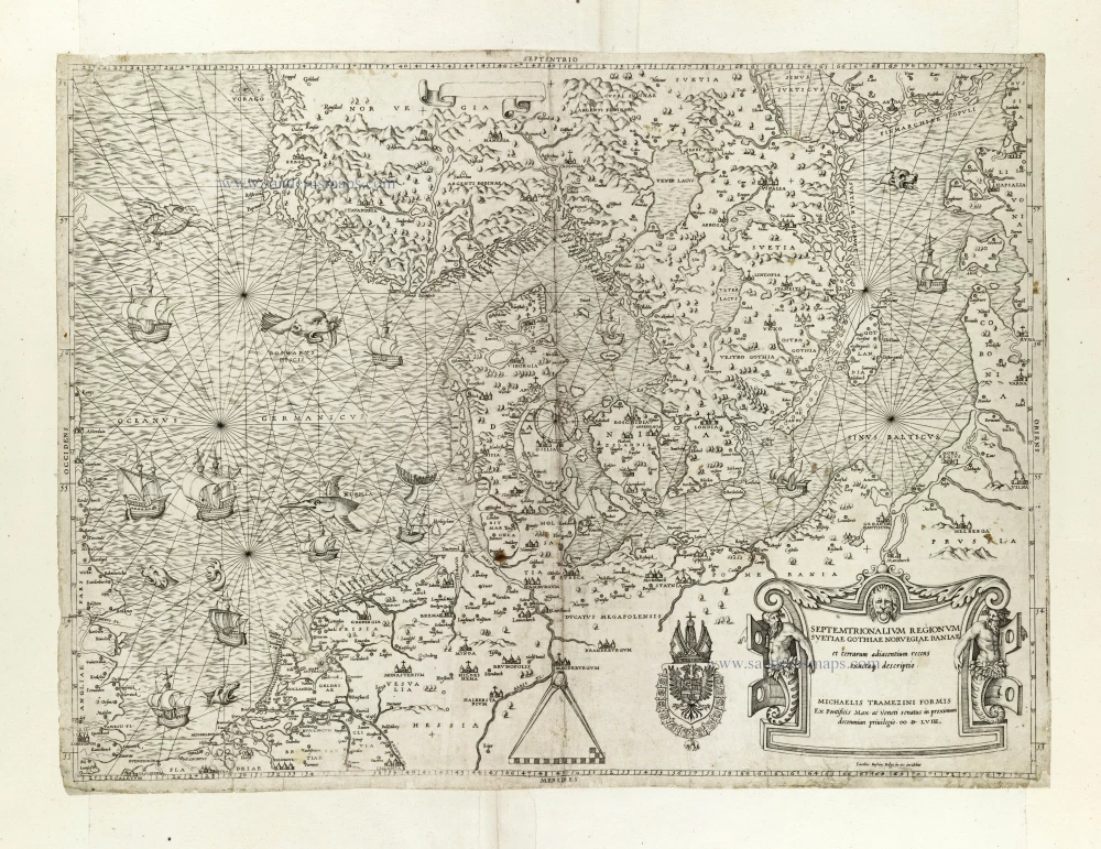
Scandinavia, by Michele Tramezini.

Rare and important map.
Septemtrionalium Regionum Svetiae Gothiae Norvegiae Daniae et terrarum adiacentium recens exactaq[ue] descriptio. 1558
Scandinavia, by Michele Tramezini.
[Item number: 27045]

€12000  ($13440 / £10080)
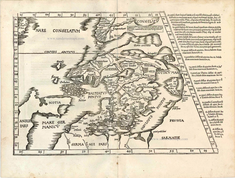
Ptolemy map of Scandinavia by Lorenz Fries, after Matin Waldseemüller.

Early edition with Durer's woodcut panels on verso.
[No title - on verso:] Tab. Nova Norbegiae et Gottiae 1525
Ptolemy map of Scandinavia by Lorenz Fries, after Matin Waldseemüller.
[Item number: 27930]

€2100  ($2352 / £1764)
Scandinavia par R. & I. Ottens.

Carte la Plus Nouvelle de la Scandinivie ou les Couronnes du Nord Scavoir La Suede le Dannemarc et La Norvege Ou Lon Trouve La Mer Baltique et une Grande Partie de la Moscovie etc. 1730-45
Scandinavia par R. & I. Ottens.
[Item number: 28269]

€650  ($728 / £546)
Scandinavia by Nicolaas Visscher.

Tabula exactissima Regnorum Sueciae et Norvegiae, nec non Maris Universi Orientalis, 1656-80
Scandinavia by Nicolaas Visscher.
[Item number: 28742]

€450  ($504 / £378)
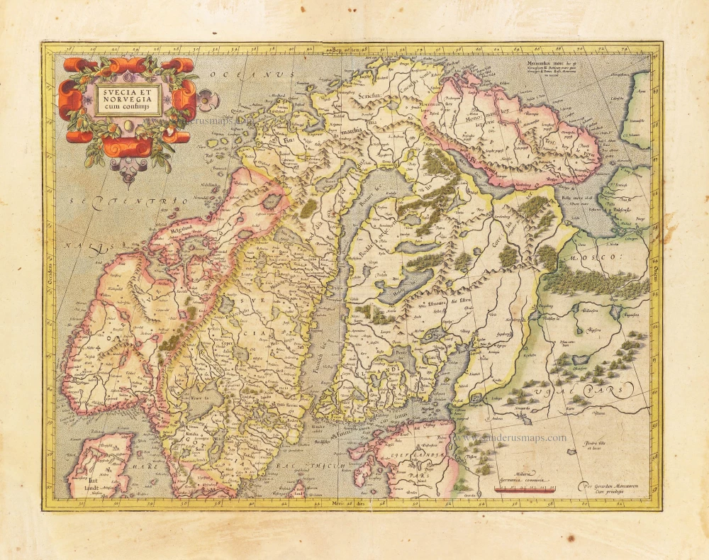
Scandinavia, by Gerard Mercator.

Svecia et Norvegia cum confinijs. 1628
Scandinavia, by Gerard Mercator.
[Item number: 28815]

€700  ($784 / £588)
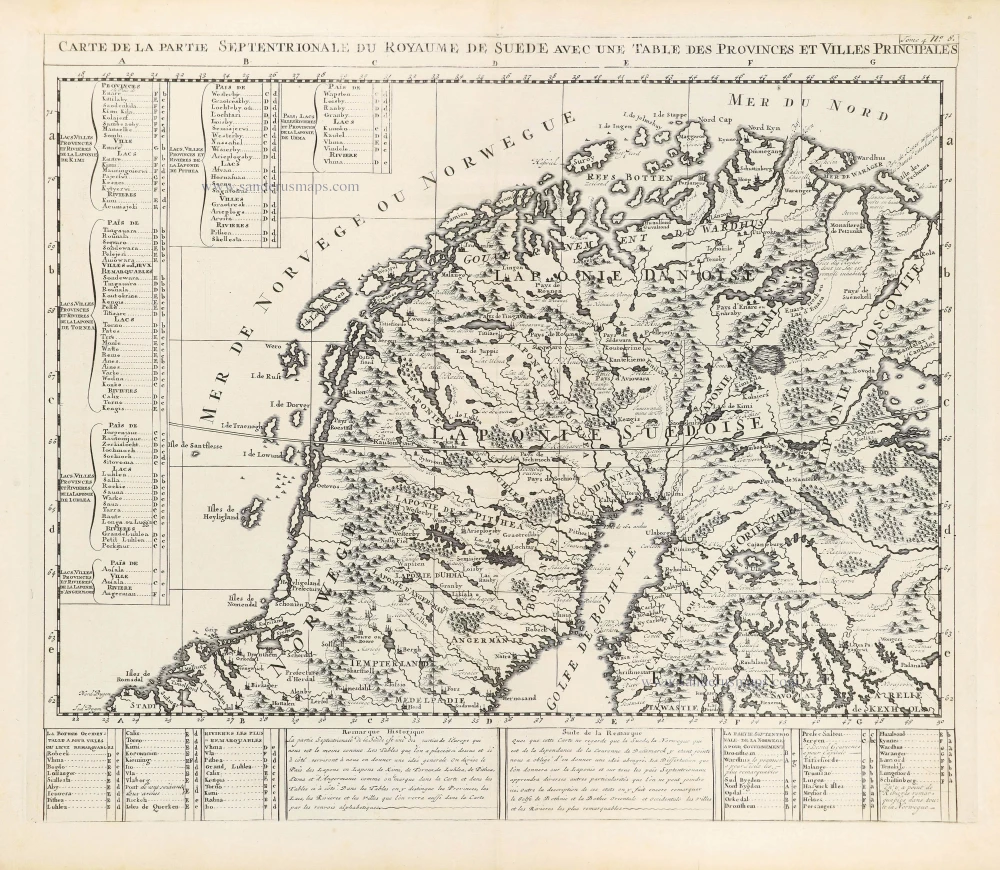
Northern Scandinavia by Zacharias Châtelain.

Carte de la Partie Septentrionale du Royaume de Suède avec une Table des Provinces et Villes Principales. 1714
Northern Scandinavia by Zacharias Châtelain.
[Item number: 29412]

€250  ($280 / £210)
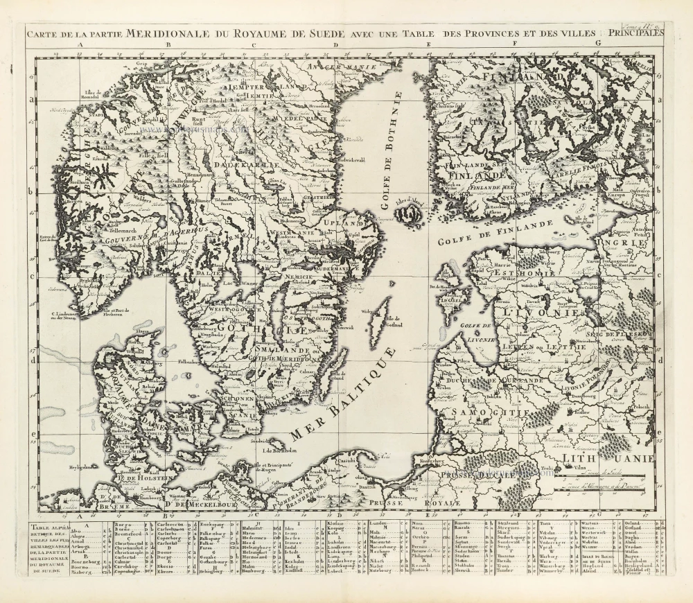
Southern Scandinavia by Zacharias Châtelain.

Carte de la Partie Meridionale du Royaume de Suède avec une Table des Provinces et Villes Principales. 1714
Southern Scandinavia by Zacharias Châtelain.
[Item number: 29413]

€300  ($336 / £252)
Scandinavia by Nicolas Sanson.

La Scandinavie et les environs ou sont les Estats et Royaumes de Danemarck Norwegue et Suede. 1652
Scandinavia by Nicolas Sanson.
[Item number: 29607]

€450  ($504 / £378)
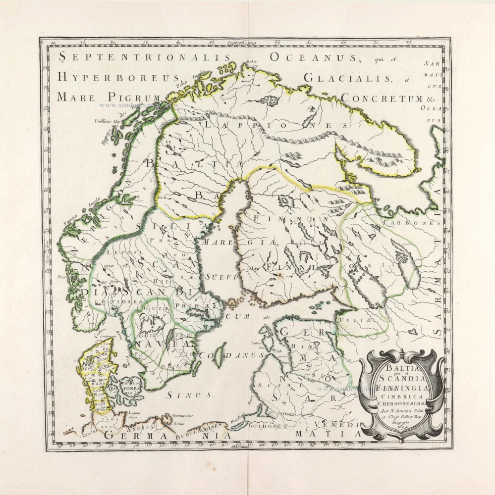
Scandinavia by Nicolas Sanson.

Baltia, quae et Scandia, Cimbrica Chersonesus &c. 1654-58
Scandinavia by Nicolas Sanson.
[Item number: 29608]

€300  ($336 / £252)
Scandinavia by Joan Blaeu.

Suecia, Dania et Norvegia, Regna Europae Septentrionalia. 1643
Scandinavia by Joan Blaeu.
[Item number: 29998]

€1200  ($1344 / £1008)
Scandinavia, by Johannes Janssonius.

Sueciae, Norvegiae, et Daniae, Nova Tabula. 1666
Scandinavia, by Johannes Janssonius.
[Item number: 30290]

€1100  ($1232 / £924)