
Scandinavia by Frederick de Wit. 1689-1691
Frederick de Wit (1630-1706)
The engraver and map-seller, Frederick de Wit, was born in Gouda (Netherlands) in 1630 as a son of Hendrick Fredericksz de Wit. Through his marriage with Maria van der Waag of Amsterdam in 1661, he obtained citizenship of the city where he had been working since 1648 and where he became one of the most famous engravers of maps of the second half of the 17th century. Although De Wit was a Catholic, which meant that he was not favoured at the time by the city council, he was awarded the honour of being listed as one of the "excellent citizens" on the roll of the city council in the years 1694-1704. However, his name was not written in the Guild of St. Luke book before 1664. At that time, he lived on the Kalverstraat "in de Witte Pascaert", where he stayed until his death in 1706. His earliest dates on maps engraved are 1659 (Regni Daniae) and 1660 (World map).
Frederick de Wit published several world atlases, a sea atlas, and an atlas of the Netherlands.
The dating of the maps is difficult. However, as a privilege was granted in 1689, the annotation 'cum privilegio' marks an edition after 1688.
Around 1700, Frederick de Wit entered the market with a town atlas. He produced two volumes with a total of 260 plans and views. Most were printed from plates used for Janssonius and Blaeu town atlases.
After he died in 1706, his widow continued the shop until 1709. The plates and stock of De Wit's atlas were sold to Covens & Mortier in 1710, who sold the atlas for an extended period.
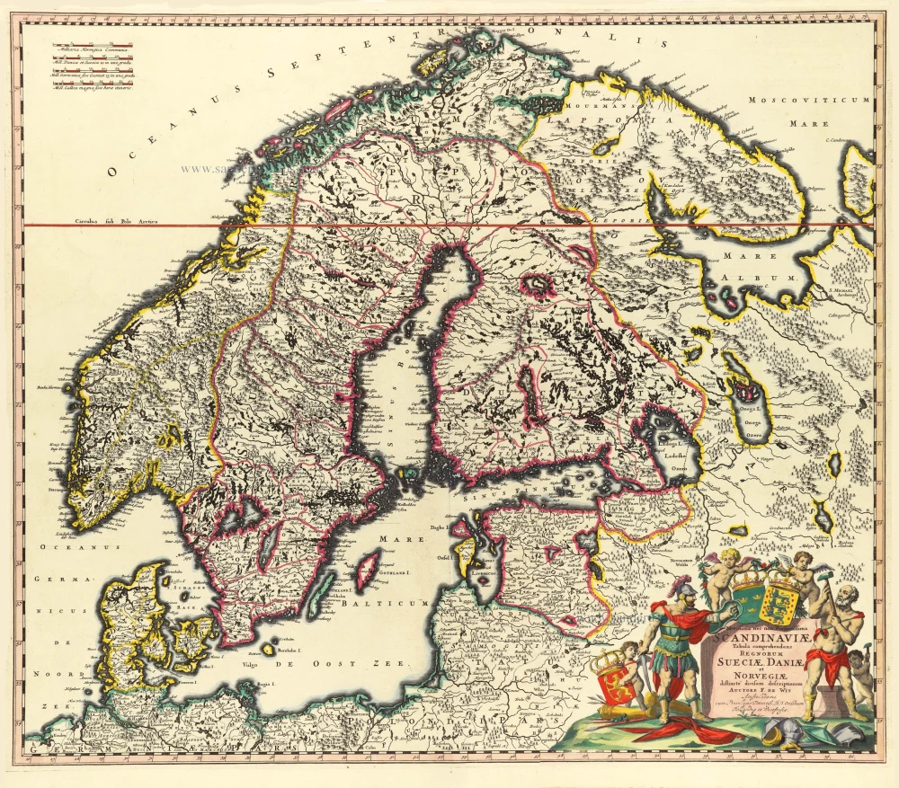
Novissima nec non Perfectissima Scandinaviae Tabula Comprehendens Regnorum Sueciae, Daniae et Novegiae.
Item Number: 32208 Authenticity Guarantee
Category: Antique maps > Europe > Northern Europe
Scandinavia by Frederick de Wit.
Title: Novissima nec non Perfectissima Scandinaviae Tabula Comprehendens Regnorum Sueciae, Daniae et Novegiae.
distincte dicisam descriptionem Auctore F. de Wit Amstelodami
cum Privilegio Potentiß. D.D. Ordinum Hollandiae et Westfrisiae.
Date of the first edition: c. 1689-90.
Date of this map: c. 1689-90.
First state.
Copper engraving, printed on paper.
Image size: 500 x 580mm (19¾ x 22¾ inches).
Sheet size: 525 x 595mm (20¾ x 23½ inches).
Condition: Hand-coloured, excellent.
Condition Rating: A+.
Atlas. Amsterdam, Frederick de Wit, 1689-91. (Carhart p. 148 A104a)
Frederick de Wit (1630-1706)
The engraver and map-seller, Frederick de Wit, was born in Gouda (Netherlands) in 1630 as a son of Hendrick Fredericksz de Wit. Through his marriage with Maria van der Waag of Amsterdam in 1661, he obtained citizenship of the city where he had been working since 1648 and where he became one of the most famous engravers of maps of the second half of the 17th century. Although De Wit was a Catholic, which meant that he was not favoured at the time by the city council, he was awarded the honour of being listed as one of the "excellent citizens" on the roll of the city council in the years 1694-1704. However, his name was not written in the Guild of St. Luke book before 1664. At that time, he lived on the Kalverstraat "in de Witte Pascaert", where he stayed until his death in 1706. His earliest dates on maps engraved are 1659 (Regni Daniae) and 1660 (World map).
Frederick de Wit published several world atlases, a sea atlas, and an atlas of the Netherlands.
The dating of the maps is difficult. However, as a privilege was granted in 1689, the annotation 'cum privilegio' marks an edition after 1688.
Around 1700, Frederick de Wit entered the market with a town atlas. He produced two volumes with a total of 260 plans and views. Most were printed from plates used for Janssonius and Blaeu town atlases.
After he died in 1706, his widow continued the shop until 1709. The plates and stock of De Wit's atlas were sold to Covens & Mortier in 1710, who sold the atlas for an extended period.
Related items
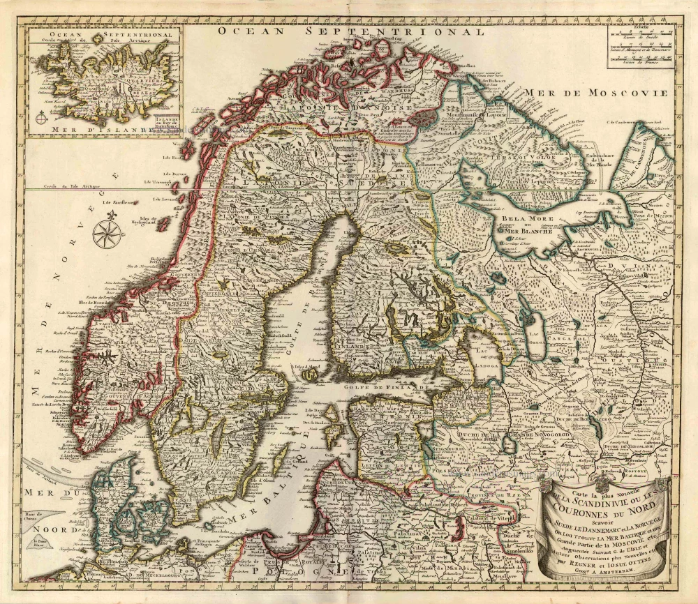
Carte la Plus Nouvelle de la Scandinivie ou les Couronnes du Nord Scavoir La Suede le Dannemarc et La Norvege Ou Lon Trouve La Mer Baltique et une Grande Partie de la Moscovie etc. 1730-45
Scandinavia par R. & I. Ottens.
[Item number: 25858]
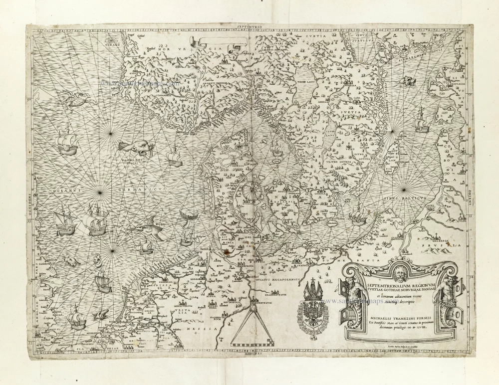
Rare and important map.
Septemtrionalium Regionum Svetiae Gothiae Norvegiae Daniae et terrarum adiacentium recens exactaq[ue] descriptio. 1558
Scandinavia, by Michele Tramezini.
[Item number: 27045]
Early edition with Durer's woodcut panels on verso.
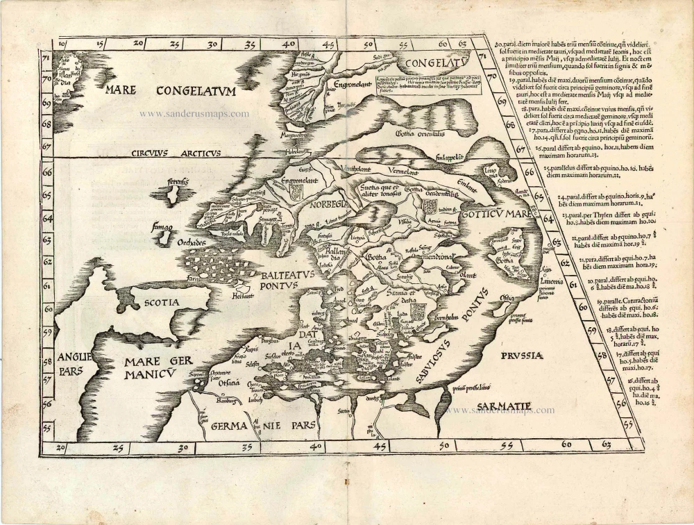
[No title - on verso:] Tab. Nova Norbegiae et Gottiae 1525
Ptolemy map of Scandinavia by Lorenz Fries, after Matin Waldseemüller.
[Item number: 27930]
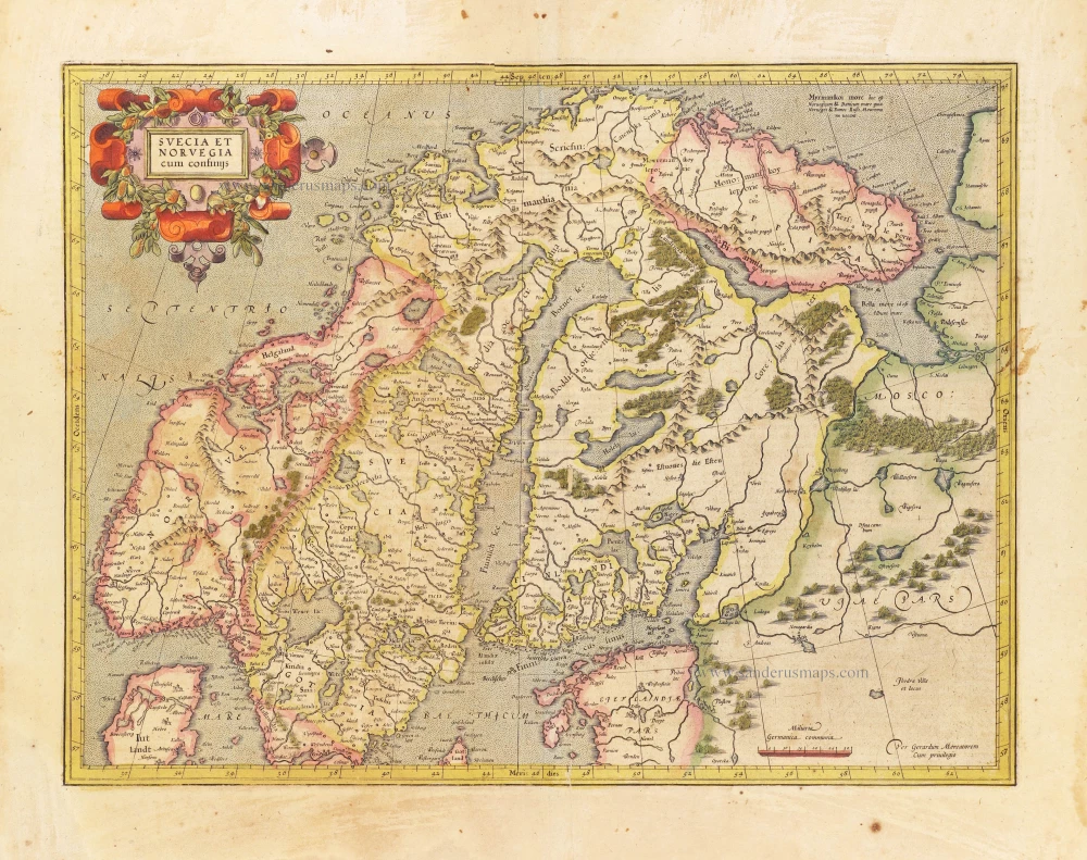
Svecia et Norvegia cum confinijs. 1628
Scandinavia, by Gerard Mercator.
[Item number: 28815]
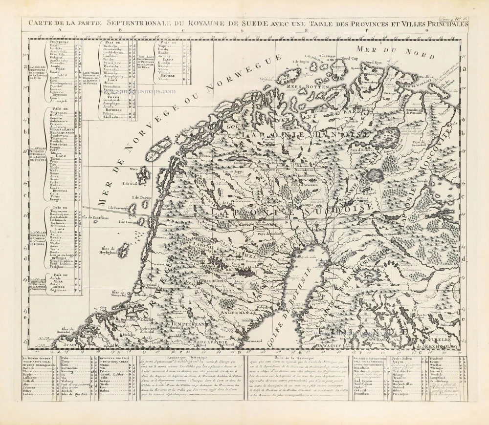
Carte de la Partie Septentrionale du Royaume de Suède avec une Table des Provinces et Villes Principales. 1714
Northern Scandinavia by Zacharias Châtelain.
[Item number: 29412]

Carte de la Partie Meridionale du Royaume de Suède avec une Table des Provinces et Villes Principales. 1714
Southern Scandinavia by Zacharias Châtelain.
[Item number: 29413]

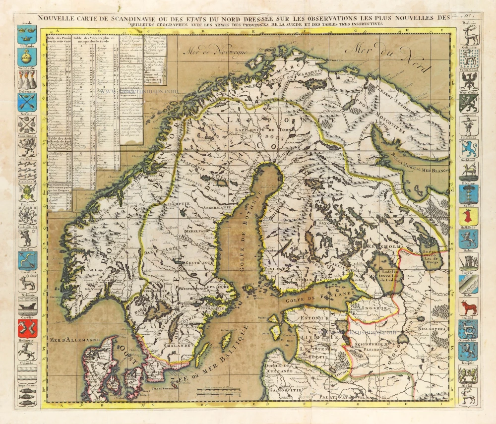
Nouvelle Carte de Scandinavie ou des Etats du Nord Dressée sur les observations les plus nouvelles des meilleurs Géographes avec les Armes des Provinces de la Suède et des Tables tres instructives. 1714
Scandinavia, by Zacharias Châtelain.
[Item number: 29499]
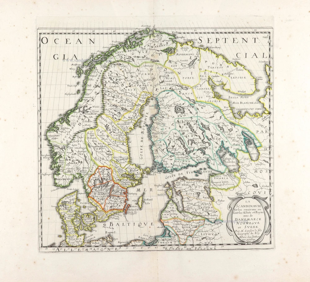
La Scandinavie et les environs ou sont les Estats et Royaumes de Danemarck Norwegue et Suede. 1652
Scandinavia by Nicolas Sanson.
[Item number: 29607]
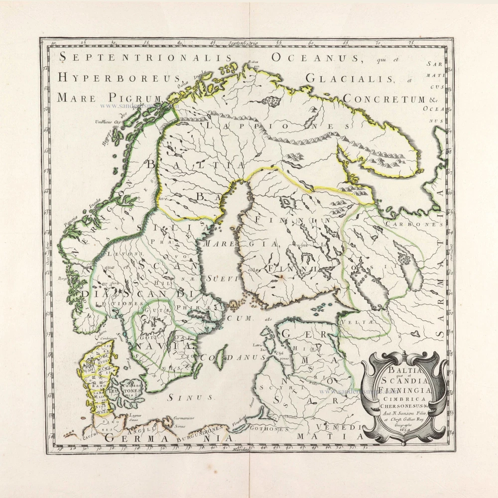
Baltia, quae et Scandia, Cimbrica Chersonesus &c. 1654-58
Scandinavia by Nicolas Sanson.
[Item number: 29608]
First edition.
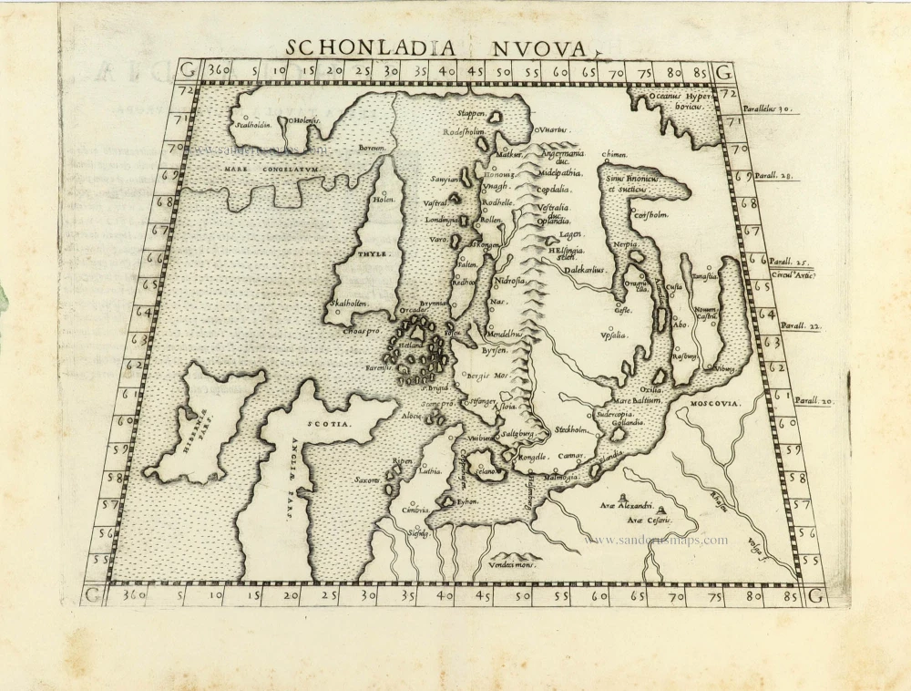
Schonladia Nuova. 1561
Scandinavia by Girolamo Ruscelli.
[Item number: 31087]
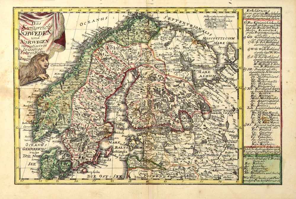
Das Koenigreich Schweden und Norwegen. c. 1745.
Scandinavia by J.G. Schreiber.
[Item number: 31108]
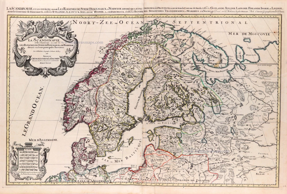
La Scandinavie, et les Environs, ou sont les Royaumes de Suede de Danemarck, et de Norwege. divisés en leurs principales Provinces. 1692
Scandinavia by N. Sanson, so-called published by Hubert Jaillot. (Pirated edition by Pierre Mortier).
[Item number: 31170]
In rare original colour
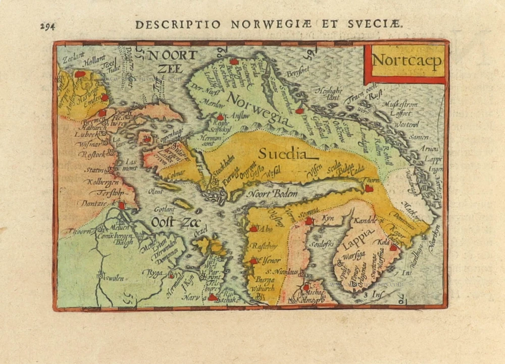
Nortcaep 1602
Scandinavia by Barent Langenes, published by Petrus Bertius.
[Item number: 31204]
In rare original colour
Nouvelle Carte de Scandinavie ou des Etats du Nord Dressée sur les observations les plus nouvelles des meilleurs Géographes avec les Armes des Provinces de la Suède et des Tables tres instructives. 1714
Scandinavia, by Zacharias Châtelain.
[Item number: 31424]

Suecia et Norvegia ect. 1618
Scandinavia by Petrus Bertius, published by Jodocus Hondius II.
[Item number: 31631]
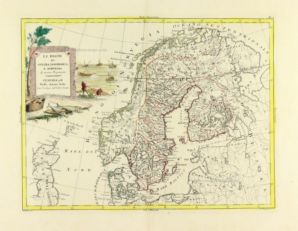
Li Regni di Svezia, Danimarca, e Norvegia. 1779-1785
Scandinavia, by Antonio Zatta.
[Item number: 31812]
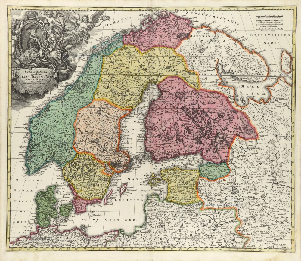
Scandinavia complectens Sueciae, Daniae, & Norvegiae Regna. c. 1720
Scandinavia, by Homann J.B.
[Item number: 32203]
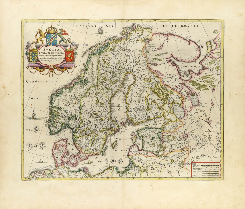
Suecia, Dania et Norvegia, Regna Europae Septentrionalia. 1659
Scandinavia by Joan Blaeu.
[Item number: 32423]

Scarce
Accuratissima Regnorum et Norvegiae, Tabula. c. 1680
Scandinavia by Justus Danckerts
[Item number: 32613]

La Scandinavia Divisa nelli suoi Regni di Suezia, Danimarca, Norvegia, e Paese de Lapponi, 1678
Scandinavia by Nicolas Sanson, published by Giovanni de Rossi.
[Item number: 32900]