
Nicolas Sanson's landmark map of North America, scarce second state. 1659

In 1650, Sanson published this landmark map of North America. It was drawn, with his usual care, using the sinusoidal projection, sometimes known as Sanson-Flamstead. It is, perhaps, most important for being the first printed map to delineate the five Great Lakes in a recognisable form.
Sanson's map was the first to name Lakes Superior and Ontario, and Lakes Erie and Huron, which appear in a more familiar form. His sources were largely the so-called Jesuit Relations, the extremely detailed annual reports on the progress of their missions in New France. Most of the information was from firsthand accounts.
Montreal, recorded here at the important junction of the R des Prairies, Ottawa River, and the St. Lawrence River, was chosen by Champlain in 1611 as the site for a trading post. Still, it was not until 1643 that it became occupied year-round. The waters of the north illustrate the continued hope of a North-West Passage. The majority of the cartography of New France was new and would remain the most accurate until superseded by Coronelli in 1688. The east coast of North America does not bear much detail, but one interesting feature is the location of Nouvelle Amsterdam on an island some distance offshore. The reference to N. Suede is the first on a printed map of the Swedish colony founded in 1638. The south and southeast are largely similar to those of the Hondius, America Septentionalis, 1636.
To the west, S Fe, Navajo, Apache, Taosij, and others all appear for the first time. The first is incorrectly placed on the west bank of the Rio Grande, here again flowing to the southwest. These were the first advances in the geography of this region for some time. The information was derived from the travels of Father Alonso de Benavides in the late 1620s, as published in his Memorial ( Madrid, 1630). California, as an island, is of the Briggs type with some alterations.
There are three known states of the map. The first is extremely rare, known by only two examples. (Burden)
Nicolas Sanson (1600-1667) - Guillaume Sanson (1633-1703)
Originally from Abbeville, Nicolas I Sanson showed a keen interest in historical geography. Still very young, he published a map of ancient Gaul and two treatises, Britannia and Portus Itius on Abbeville and Boulogne's origins. His meeting with Melchior Tavernier was decisive: it prompted him to give up his duties as a military engineer in Picardy and devote himself to engraved cartography.
At the same time, Sanson had drawn up the outline of modern France. He got the help of Tavernier who encouraged him to compete with the Dutch map publishers. Tavernier contacted other French cartographers whose works he published.
From 1643, N. Sanson obtained a privilege to publish a work personally, the Princes souverains de l'Italie. Then, in 1644 and 1645, he had his famous geographical tables printed, which significantly contributed to his fame. He also published a series of atlases in quarto of the four continents.
In 1648, N. Sanson associated himself with Mariette for the publishing of atlases. From then on, certain maps bore his name, and others Mariette's. N. Sanson and Mariette worked together for more than 20 years. After the death of N. Sanson, Mariette acquired the entire fund. Since Mariette only wanted to publish complete atlases, individual maps were no longer sold, and some army generals complained to the king.
The disagreement between the Sanson family and Pierre II Mariette culminated in 1671 when Guillaume Sanson took the case to court. From then on, there was no longer any question of collaboration: Guillaume Sanson started working for another publisher, Alexis-Hubert Jaillot.
The Sanson family faced financial difficulties, and in 1692, their cousin, Pierre Moullart-Sanson, bought the entire geographic fund from his uncles and aunt. Moullart-Sanson restarted the publishing of Sanson's world atlas, and in 1704 he acquired a privilege for publishing all the works of Nicolas and Guillaume Sanson, which continued to be published until 1730.
Pierre Mariette (1602-1658)
Bookseller, printseller, printer, and publisher, located in the Rue Saint-Jacques in Paris. On February 12, 1644, Pierre Mariette acquired most of Melchior Tavernier's fund. In 1646, he had a series of maps by Blaeu copied and asked Abraham Peyrounin to engrave them. In the meantime, he published the works of Nicolas Sanson. In 1650, he published the atlas Théâtre Géographique de France. A second edition followed in 1653. He later contributed to Sanson's atlas, the Cartes générales de toutes les parties du monde. Many maps of Mariette's Théatre appeared in later editions of Sanson's Cartes générales.
Amerique Septentrionale.
Item Number: 33218 new Authenticity Guarantee
Category: Antique maps > America > North America
Nicolas Sanson's landmark map of North America.
Title: Amerique Septentrionale.
Par N. Sanson d'Abbeville Geog. du Roy
A Paris chez Pierre Mariette rue s. Iacques a l'€sperace
1650.
Avec privilege du Roy pour vingt Ans.
APeyrounin sculp.
Engraver: Abraham Peyrounin.
Date of the first edition: 1650.
Date of this map: 1659.
Date on map: 1650.
Third state.
Copper engraving, printed on paper.
Image size: 390 x 550mm (15¼ x 21¾ inches).
Sheet size: 430 x 580mm (17 x 22¾ inches).
Verso: Blank.
Condition: Original coloured in outline, excellent.
Condition Rating: A+.
From: Cartes generales de toutes les parties du monde, ou les empires, monarchies, republiques, estats, peuples,&c. le l'Asie, de l'Afrique, de l'Europe, & de l'Amerique, ... Par le Sieur d'Abbeville, A Paris, chez l'auteur, ... Et chez Pierre Mariette, M.DC.LVIII [1658]. (Pastoureau, Sanson V A 1658). (Qui doit être de 1659 car la table indique la Westphalie. - Pastoureau)
In 1650, Sanson published this landmark map of North America. It was drawn, with his usual care, using the sinusoidal projection, sometimes known as Sanson-Flamstead. It is, perhaps, most important for being the first printed map to delineate the five Great Lakes in a recognisable form.
Sanson's map was the first to name Lakes Superior and Ontario, and Lakes Erie and Huron, which appear in a more familiar form. His sources were largely the so-called Jesuit Relations, the extremely detailed annual reports on the progress of their missions in New France. Most of the information was from firsthand accounts.
Montreal, recorded here at the important junction of the R des Prairies, Ottawa River, and the St. Lawrence River, was chosen by Champlain in 1611 as the site for a trading post. Still, it was not until 1643 that it became occupied year-round. The waters of the north illustrate the continued hope of a North-West Passage. The majority of the cartography of New France was new and would remain the most accurate until superseded by Coronelli in 1688. The east coast of North America does not bear much detail, but one interesting feature is the location of Nouvelle Amsterdam on an island some distance offshore. The reference to N. Suede is the first on a printed map of the Swedish colony founded in 1638. The south and southeast are largely similar to those of the Hondius, America Septentionalis, 1636.
To the west, S Fe, Navajo, Apache, Taosij, and others all appear for the first time. The first is incorrectly placed on the west bank of the Rio Grande, here again flowing to the southwest. These were the first advances in the geography of this region for some time. The information was derived from the travels of Father Alonso de Benavides in the late 1620s, as published in his Memorial ( Madrid, 1630). California, as an island, is of the Briggs type with some alterations.
There are three known states of the map. The first is extremely rare, known by only two examples. (Burden)
Nicolas Sanson (1600-1667) - Guillaume Sanson (1633-1703)
Originally from Abbeville, Nicolas I Sanson showed a keen interest in historical geography. Still very young, he published a map of ancient Gaul and two treatises, Britannia and Portus Itius on Abbeville and Boulogne's origins. His meeting with Melchior Tavernier was decisive: it prompted him to give up his duties as a military engineer in Picardy and devote himself to engraved cartography.
At the same time, Sanson had drawn up the outline of modern France. He got the help of Tavernier who encouraged him to compete with the Dutch map publishers. Tavernier contacted other French cartographers whose works he published.
From 1643, N. Sanson obtained a privilege to publish a work personally, the Princes souverains de l'Italie. Then, in 1644 and 1645, he had his famous geographical tables printed, which significantly contributed to his fame. He also published a series of atlases in quarto of the four continents.
In 1648, N. Sanson associated himself with Mariette for the publishing of atlases. From then on, certain maps bore his name, and others Mariette's. N. Sanson and Mariette worked together for more than 20 years. After the death of N. Sanson, Mariette acquired the entire fund. Since Mariette only wanted to publish complete atlases, individual maps were no longer sold, and some army generals complained to the king.
The disagreement between the Sanson family and Pierre II Mariette culminated in 1671 when Guillaume Sanson took the case to court. From then on, there was no longer any question of collaboration: Guillaume Sanson started working for another publisher, Alexis-Hubert Jaillot.
The Sanson family faced financial difficulties, and in 1692, their cousin, Pierre Moullart-Sanson, bought the entire geographic fund from his uncles and aunt. Moullart-Sanson restarted the publishing of Sanson's world atlas, and in 1704 he acquired a privilege for publishing all the works of Nicolas and Guillaume Sanson, which continued to be published until 1730.
Pierre Mariette (1602-1658)
Bookseller, printseller, printer, and publisher, located in the Rue Saint-Jacques in Paris. On February 12, 1644, Pierre Mariette acquired most of Melchior Tavernier's fund. In 1646, he had a series of maps by Blaeu copied and asked Abraham Peyrounin to engrave them. In the meantime, he published the works of Nicolas Sanson. In 1650, he published the atlas Théâtre Géographique de France. A second edition followed in 1653. He later contributed to Sanson's atlas, the Cartes générales de toutes les parties du monde. Many maps of Mariette's Théatre appeared in later editions of Sanson's Cartes générales.
Related items

Canada ou Nouvelle France. 1685
North America (Northeast), by A.M. Mallet.
[Item number: 26601]

Amerique Septentrionale. 1685
North America, by A.M. Mallet.
[Item number: 26643]

Karte von Nord-America, zur Geschichte von Neu-Frankreich. 1747-74
North America, by Jacques Nicolas Bellin.
[Item number: 26799]
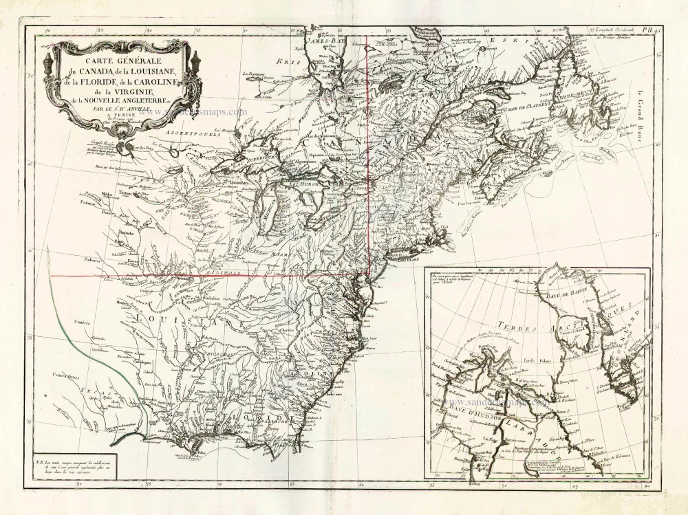
Carte Générale du Canada, de la Louisiane, de la Floride, de la Caroline, de la Virginie, de la Nouvelle Angleterre etc. 1776-79
North America (East), by Paolo Santini.
[Item number: 26980]

Earliest obtainable map of North America
Mondo Nuovo - Descrittione del l'Isola et Terra di Sancta Croce, overo Mondo Nuovo. 1576
Tomaso Porcacchi., North America
[Item number: 27651]

Early 'Texas' map
Nueva Hispania Tabula Nova. 1574
North America, by Girolamo Ruscelli.
[Item number: 27755]

Amerique Septentrionale. 1748
North America by Robert de Vaugondy.
[Item number: 28157]
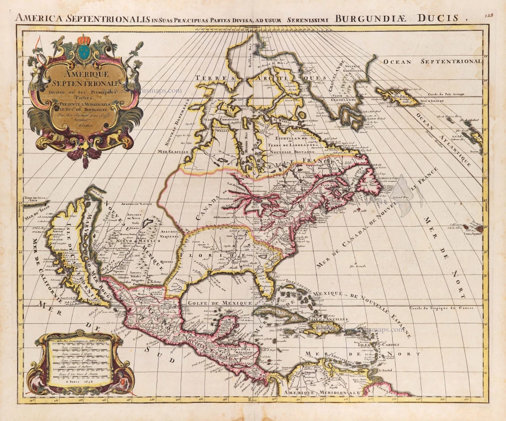
Amerique Septentrionale, Divisee en ses Principales Parties. 1694
North America, by Nicolas Sanson, published by Pierre Mortier after A.H. Jaillot.
[Item number: 29125]

Carte de la Nouvelle France, ou se Voit le Cours des Grandes Rivieres de S. Laurens & de Mississipi Aujourd'hui S. Louis, Aux environs des quelles se trouvent les Etats, Païs, Nations, Peuples &c. de la Floride, de la Louisiane, de la Virginie, de la Marie-Lande, de la Pensilvanie, du Nouveau Jersay, de la Nouvelle Yorck, de la Nouv. Angleterre, de l'Acadie, du Canada, des Esquimaux, des Hurons, des Iroquois, des Ilinois &c. Et de la Grande Ile de Terre Neuve:. 1719
Eastern North America (U.S.), by Zacharias Châtelain.
[Item number: 29365]

Nouvelle carte de l'Amérique Septentrionale dressée sur les plus nouvelles observations de Messieurs de l'Académie des Sciences et des meilleurs Géographes avec des tables très Instructives et Curieuses de la Division de tous les Etats et les différents souverains qui en sont possesseur. 1713
North America, by Zacharias Châtelain.
[Item number: 29445]

L'Amerique Septentrionale. 1708
North America by G. de L'Isle, published by Pierre Mortier.
[Item number: 29510]

Big and spectacular map, heightened in gold.
Amerique Septentrionale, divisée en ses principales parties, ou sont distingués les uns des autres Les Estats suivant qu'ils appartiennet Presentemet aux Francois, Castillans, Anglois, Suedois, Danois, Hollandois. 1692
North America by N. Sanson, so-called published by Hubert Jaillot. (Pirated edition by Pierre Mortier).
[Item number: 29895]

California as an island.
L'Amerique Septentrionale qui fait partie des Indes Occidentales. 1719
North America by Chiquet Jacques.
[Item number: 30085]

California as an island.
Americque Septentrionale. 1715
North America by Nicolas Sanson, published by Nicolas Chemereau.
[Item number: 30086]

From 'Diderot & d'Alembert'
Carte de la Californie Suivant I. La Carte manuscrite de l'Amérique de Mathieu Néron Pecci olen dresses à Florence en 1604. II. Sanson 1656. III. De l'Isle Amérique Sept. 1700. IV. le Pere Kino Jesuite en 1705. V. la Société des Jésuites en 1767. 1777
California by Robert de Vaugondy.
[Item number: 30091]

Carte de la Partie de l'Amérique Septentrionale, comprenant les Possessions Espagnoles. 1788
North America by Louis Brion de la Tour.
[Item number: 30144]

Carte d'Assemblage de l'Amérique Septen-le 1827
North America by Philippe Vandermaelen.
[Item number: 31099]

Amerique Septentrionale, Divisee en ses Principales Parties, ou sont Distingues les Uns des Autres les Estats Suivant qu'ils Appartiennent Presentemet aux Francois, Castillans, Anglois, Suedois, Danois, Hollandois. 1692
North America by N. Sanson, so-called published by Hubert Jaillot. (Pirated edition by Pierre Mortier).
[Item number: 31142]

L' America Settentrionale. 1677
North America by Giovanni De Rossi, after Nicolas Sanson.
[Item number: 32889]
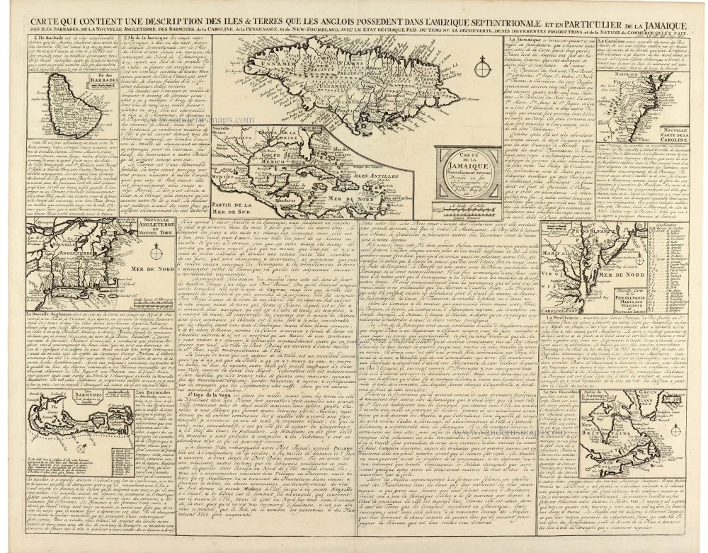
Carte Contient Une Description des Isles & Terres Que les Anglais Possèdent Dans L'Amerique Septentrionale et es Particulier de la Jamaique 1714
Eastern North America, by Zacharias Châtelain.
[Item number: 33203]
Parte Occidentale dell'Europa [in set with] Parte Orientale dell'Europa 1691
Europe, by V.M. Coronelli.
[Item number: 33305]
new